Wimble Toot
Heritage Site in Somerset South Somerset
England
Wimble Toot
Wimble Toot, Somerset is a quaint and picturesque village located in the southwest of England. It is renowned for being a designated heritage site due to its historical significance and well-preserved architectural charm. Nestled amidst rolling hills and lush green countryside, Wimble Toot attracts visitors from far and wide who are captivated by its timeless beauty.
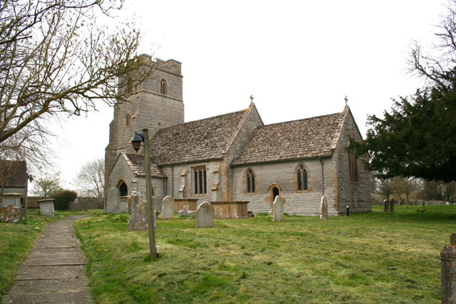
The village dates back to the 12th century, and its rich history is evident in its ancient buildings and landmarks. The centerpiece of Wimble Toot is the iconic St. Peter's Church, a stunning example of medieval architecture. Its striking spire and intricate stained glass windows make it a prominent feature in the village's skyline.
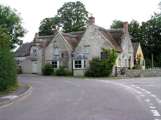
Wandering through the narrow, winding streets of Wimble Toot, visitors will discover a wealth of historical buildings. The village is home to several well-preserved thatched cottages, each with its own unique charm. These quaint dwellings offer a glimpse into the traditional way of life that once thrived here.
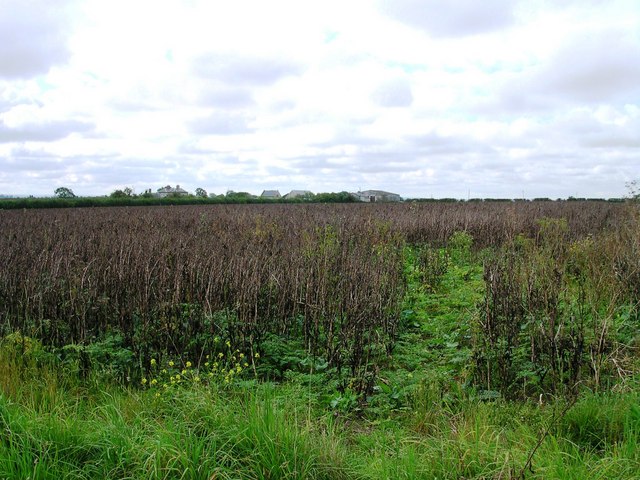
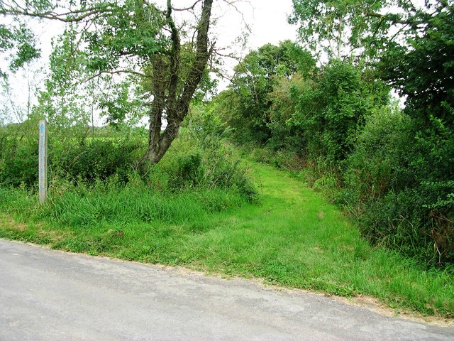
Alongside its architectural heritage, Wimble Toot is also famous for its natural beauty. The village is surrounded by idyllic countryside, making it a haven for walkers and nature enthusiasts. Nearby, the River Toot meanders through the landscape, offering picturesque views and opportunities for peaceful riverside strolls.
Wimble Toot is also a hub for local artisans and craftsmen, with various workshops and galleries showcasing their talent. Visitors can browse and purchase handmade pottery, textiles, and artwork, providing a wonderful opportunity to take home a unique piece of Wimble Toot's heritage.
In summary, Wimble Toot, Somerset is a charming heritage site that seamlessly combines its rich history with natural beauty. Its medieval architecture, idyllic countryside, and thriving artistic community make it a must-visit destination for those seeking a taste of traditional English village life.
If you have any feedback on the listing, please let us know in the comments section below.
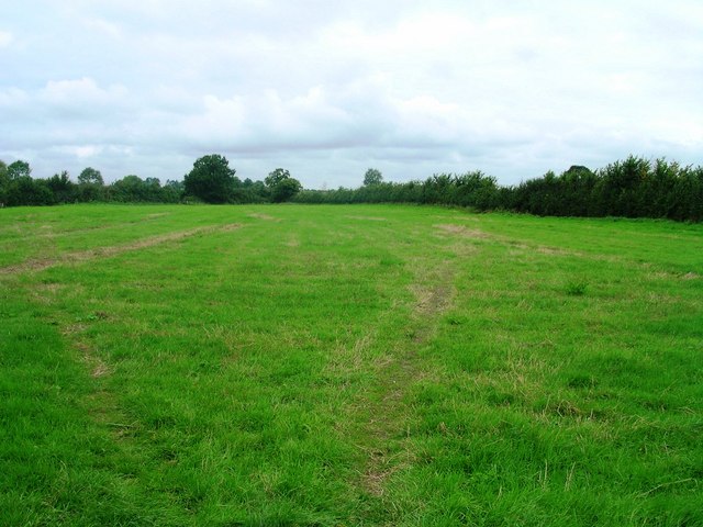
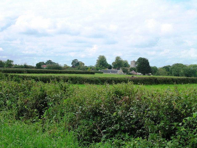
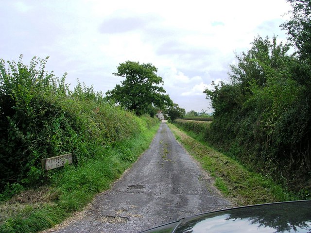
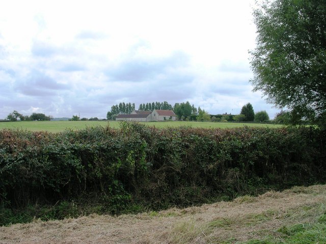
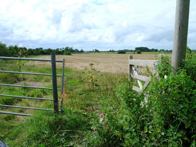
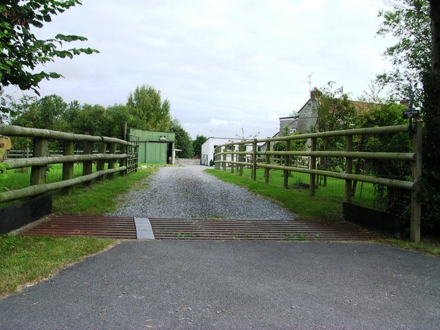
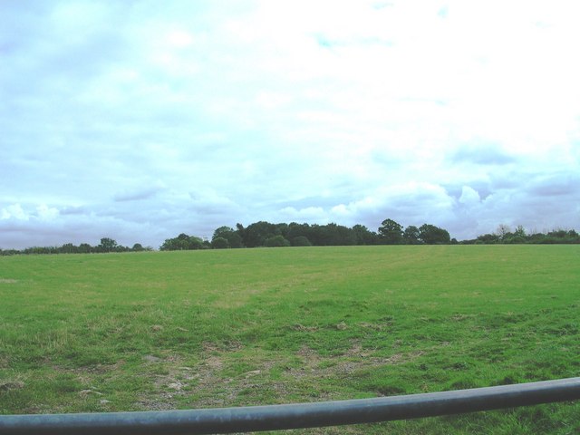
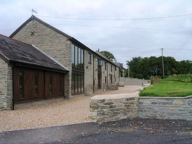
Wimble Toot Images
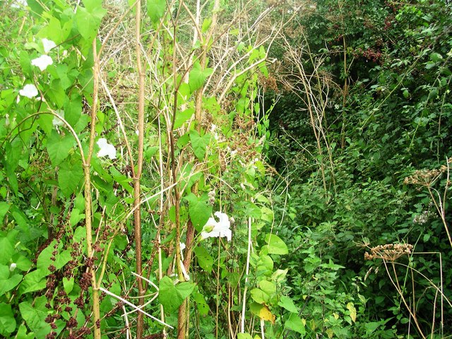
Images are sourced within 2km of 51.045/-2.62 or Grid Reference ST5627. Thanks to Geograph Open Source API. All images are credited.


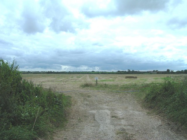
Wimble Toot is located at Grid Ref: ST5627 (Lat: 51.045, Lng: -2.62)
Administrative County: Somerset
District: South Somerset
Police Authority: Avon and Somerset
What 3 Words
///spreads.navigate.engulfing. Near Ilchester, Somerset
Nearby Locations
Related Wikis
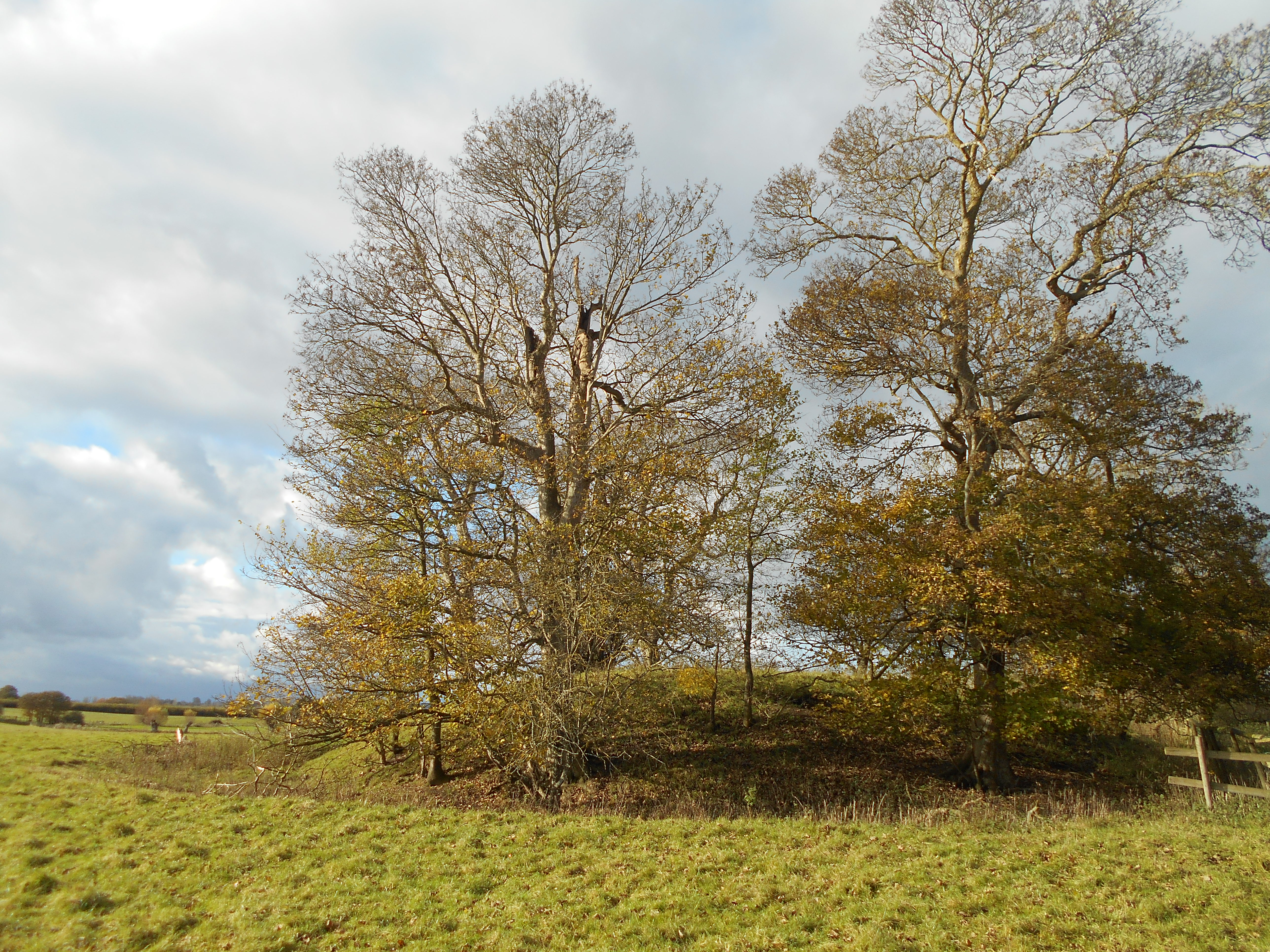
Wimble Toot
Wimble Toot is a burial mound or, possibly, a motte built near the village of Babcary, Somerset, England. It is a scheduled ancient monument with a list...

Babcary
Babcary is a village and civil parish in Somerset, England, about 5 miles (8.0 km) east of Somerton and 6 miles (9.7 km) southwest of Castle Cary. The...

Church of the Holy Cross, Babcary
The Anglican Church of the Holy Cross in Babcary, Somerset, England, was built in the 14th century. It is a Grade II* listed building. == History == The...

Babcary Meadows
Babcary Meadows (grid reference ST567293) is a 13.6 hectares (34 acres) biological Site of Special Scientific Interest north of Babcary in Somerset, notified...
Nearby Amenities
Located within 500m of 51.045,-2.62Have you been to Wimble Toot?
Leave your review of Wimble Toot below (or comments, questions and feedback).