Bodiggo

Settlement in Cornwall

England

Bodiggo

Stone Stile SX0558 Near Luxulyan School.        
Open granite steps.
Public footpath 408/15 from Bridges to Luxulyan Churchtown.
On urban path connecting the 2 parts of Luxulyan footpath (408/15/1 and 408/15/2).
The granite is local and appears by its regular shape and drill marks to have been quarried, suggesting a date from the mid-19th century, although the route could be much older because it connects the church town with the attached settlement of Bridges.
Stone Stile SX0558 Credit: Roger Smith

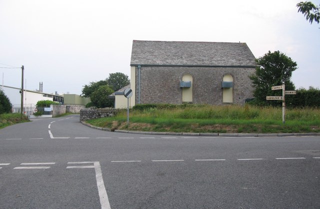
Bodiggo is a small village located in the county of Cornwall, in southwestern England. Situated in the civil parish of St. Gennys, Bodiggo is nestled in a picturesque countryside setting, surrounded by rolling hills and farmland. The village is approximately 1 mile northeast of the coastal town of Crackington Haven and about 6 miles south of Bude.

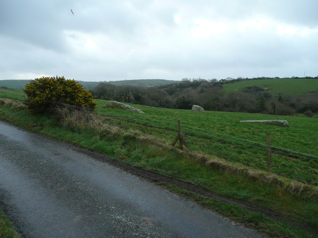
Bodiggo is known for its tranquil and idyllic atmosphere, making it a popular destination for those seeking a peaceful retreat. The village features a charming collection of traditional Cornish cottages, many of which are constructed from the local stone, adding to its rustic appeal. The surrounding landscape offers stunning views, with the nearby cliffs overlooking the rugged coastline.

Although small in size, Bodiggo offers a range of amenities and services to cater to both residents and visitors. There is a local pub, The Bodiggo Arms, which serves as a social hub for the village, offering a selection of drinks and traditional pub food. Additionally, there are a few guesthouses and bed and breakfast accommodations available for those looking to stay in the area.

The village is also conveniently located for outdoor enthusiasts, with the South West Coast Path passing nearby, offering breathtaking walks along the coastline. Other nearby attractions include Crackington Haven beach, popular for surfing and swimming, as well as the picturesque village of Boscastle, known for its historic harbor and quaint shops.

In summary, Bodiggo is a charming village in Cornwall, offering a peaceful and scenic retreat for those looking to explore the beauty of the surrounding countryside and coastline.

If you have any feedback on the listing, please let us know in the comments section below.
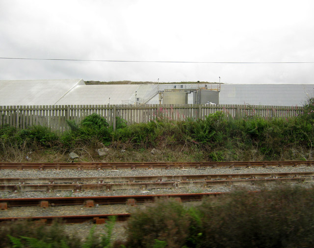
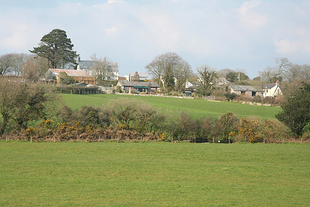
Bodiggo Images

Images are sourced within 2km of 50.395869/-4.753092 or Grid Reference SX0458. Thanks to Geograph Open Source API. All images are credited.

Stone Stile SX0558 Near Luxulyan School.        
Open granite steps.
Public footpath 408/15 from Bridges to Luxulyan Churchtown.
On urban path connecting the 2 parts of Luxulyan footpath (408/15/1 and 408/15/2).
The granite is local and appears by its regular shape and drill marks to have been quarried, suggesting a date from the mid-19th century, although the route could be much older because it connects the church town with the attached settlement of Bridges.
Stone Stile SX0558
Near Luxulyan School. Open granite steps. Public footpath 408/15 from Bridges to Luxulyan Churchtown. On urban path connecting the 2 parts of Luxulyan footpath (408/15/1 and 408/15/2). The granite is local and appears by its regular shape and drill marks to have been quarried, suggesting a date from the mid-19th century, although the route could be much older because it connects the church town with the attached settlement of Bridges.
Former Bible Christian chapel
Luxulyan Valley - Treffry Viaduct This viaduct is also an aqueduct with water carried below the deck to supply the large waterwheel that once operated the Carmears incline and to supply industry at Ponts Mill. The viaduct was completed in 1842 and is 648 feet long and 98 feet high. It carried a horse drawn tramway It is difficult to appreciate it from below as the woods encroach on the sightlines.
Luxulyan Valley - Treffry Viaduct
This viaduct is also an aqueduct with water carried below the deck to supply the large waterwheel that once operated the Carmears incline and to supply industry at Ponts Mill. The viaduct was completed in 1842 and is 648 feet long and 98 feet high. It carried a horse drawn tramway It is difficult to appreciate it from below as the woods encroach on the sightlines.
Road junction on Cycle Route 3. A view looking north towards a road junction on Cycle Route 3, on the lane from Roseny Mill.
Road junction on Cycle Route 3.
A view looking north towards a road junction on Cycle Route 3, on the lane from Roseny Mill.
Crossroads near Bodwen A view looking to the southwest across a crossroads near Bodwen. The buildings at left are the Roach Foods factory.
Crossroads near Bodwen
A view looking to the southwest across a crossroads near Bodwen. The buildings at left are the Roach Foods factory.
Stone outcrops near Roseney Farm The landscape around here is dotted with granite boulders like these.
Stone outcrops near Roseney Farm
The landscape around here is dotted with granite boulders like these.
Ponies in a mud bath The piece of ground opposite <a href="https://www.geograph.org.uk/photo/686476">SX0560 : Stone outcrops near Roseney Farm</a> is overgrazed and in bad shape. The animals are receiving hay.
Ponies in a mud bath
The piece of ground opposite SX0560 : Stone outcrops near Roseney Farm is overgrazed and in bad shape. The animals are receiving hay.
Hedgerow with abandoned bike. Between Corgee Farm to the south and Little Gurtla Farm to the north.
Hedgerow with abandoned bike.
Between Corgee Farm to the south and Little Gurtla Farm to the north.
Treffry Viaduct A serendipitous road closure sent us up the road beneath the viaduct after a visit to the Eden Project. The couple of minutes spent photographing in the rain here was the best part of the day!
Treffry Viaduct
A serendipitous road closure sent us up the road beneath the viaduct after a visit to the Eden Project. The couple of minutes spent photographing in the rain here was the best part of the day!
Road below the Treffry Viaduct A serendipitous road closure sent us up the road beneath the viaduct after a visit to the Eden Project. The couple of minutes spent photographing in the rain here was the best part of the day!
Road below the Treffry Viaduct
A serendipitous road closure sent us up the road beneath the viaduct after a visit to the Eden Project. The couple of minutes spent photographing in the rain here was the best part of the day!
River below the Treffry Viaduct The valley here is a moss-covered wonderland.  The river converges with the sea at Par.  I cannot see any name for it on the map.  Have a look at the Grid Square Discussion for details.
River below the Treffry Viaduct
The valley here is a moss-covered wonderland. The river converges with the sea at Par. I cannot see any name for it on the map. Have a look at the Grid Square Discussion for details.
Rope swing below Treffry Viaduct
Treffry Viaduct The first large granite viaduct built in Cornwall - 650'(198 m) long and 100'(30 m) high.  This combined aqueduct and tramway was constructed in 1842 by Joseph Treffry to cross the Luxulyan Valley. The water course runs below the track bed and supplied water to the 34' diameter waterwheel which powered the Carmears incline on the tramway <a href="https://www.geograph.org.uk/photo/2708677">SX0656 : The remains of the waterwheel at Carmears</a>. The viaduct featured in a scene in the film 'The Omen III - the Final Conflict' <span class="nowrap"><a title="http://www.youtube.com/watch?v=YNJ3-5nXrb0" rel="nofollow ugc noopener" href="http://www.youtube.com/watch?v=YNJ3-5nXrb0">Link</a><img style="margin-left:2px;" alt="External link" title="External link - shift click to open in new window" src="https://s1.geograph.org.uk/img/external.png" width="10" height="10"/></span>.
Treffry Viaduct
The first large granite viaduct built in Cornwall - 650'(198 m) long and 100'(30 m) high. This combined aqueduct and tramway was constructed in 1842 by Joseph Treffry to cross the Luxulyan Valley. The water course runs below the track bed and supplied water to the 34' diameter waterwheel which powered the Carmears incline on the tramway SX0656 : The remains of the waterwheel at Carmears. The viaduct featured in a scene in the film 'The Omen III - the Final Conflict' LinkExternal link.
Luxulyan Church The church is dedicated to St Cyriacus & St Julitta. St Julitta was of noble birth. She was widowed at an early age with her newborn child Cyriacus. She lived in Iconium in the town of Lycaonia and was completely devoted to the Faith of Christ. She immediately baptized her son after his birth and when he was three years old instructed him in the Faith and taught him to pray as much as a child of that age was capable. When Diocletian decreed the persecution of the Christians in the town of Iconium, much innocent blood was shed. Julitta took her son and hid in the city of Seleucid. It was not any better there. Julitta was arrested and, as a Christian, was brought before the judge. Since Julitta courageously confessed her faith in the Lord Jesus, the judge, in order to make her feel sorrow and cause her to waver, took the child in his arms and began to caress him. Cyriacus cried out loudly: "I am a Christian, release me to my mother!" Cyriacus turning his face away from the judge began to scratch him with his hands. The judge became so enraged that he hurled the child to the ground and pushed him with his feet. The child slid along the stone stairs and was killed. Seeing how Cyriacus suffered before her eyes, St. Julitta was joyful and gave thanks to God because He made her son worthy of the martyr's wreath. After much suffering, Julitta was beheaded in the year 304 A.D.
Luxulyan Church
The church is dedicated to St Cyriacus & St Julitta. St Julitta was of noble birth. She was widowed at an early age with her newborn child Cyriacus. She lived in Iconium in the town of Lycaonia and was completely devoted to the Faith of Christ. She immediately baptized her son after his birth and when he was three years old instructed him in the Faith and taught him to pray as much as a child of that age was capable. When Diocletian decreed the persecution of the Christians in the town of Iconium, much innocent blood was shed. Julitta took her son and hid in the city of Seleucid. It was not any better there. Julitta was arrested and, as a Christian, was brought before the judge. Since Julitta courageously confessed her faith in the Lord Jesus, the judge, in order to make her feel sorrow and cause her to waver, took the child in his arms and began to caress him. Cyriacus cried out loudly: "I am a Christian, release me to my mother!" Cyriacus turning his face away from the judge began to scratch him with his hands. The judge became so enraged that he hurled the child to the ground and pushed him with his feet. The child slid along the stone stairs and was killed. Seeing how Cyriacus suffered before her eyes, St. Julitta was joyful and gave thanks to God because He made her son worthy of the martyr's wreath. After much suffering, Julitta was beheaded in the year 304 A.D.
The Luxulyan Valley Looking up the valley from the top of the Treffry Viaduct <a href="https://www.geograph.org.uk/photo/2708663">SX0557 : Treffry Viaduct</a>.
The Luxulyan Valley
Looking up the valley from the top of the Treffry Viaduct SX0557 : Treffry Viaduct.
Goonbarrow Junction - exchanging single line tokens, 1979 The signalman waits to be passed the St Blazey - Goonbarrow Junction single line token, with the token in his hand for the next section, which was then as far as St Dennis Junction. A view through the driver's window (complete with part of driver about to lean out) no longer possible with modern rolling stock.
Goonbarrow Junction - exchanging single line tokens, 1979
The signalman waits to be passed the St Blazey - Goonbarrow Junction single line token, with the token in his hand for the next section, which was then as far as St Dennis Junction. A view through the driver's window (complete with part of driver about to lean out) no longer possible with modern rolling stock.
Cornish china clay Rock Dryers near Goonbarrow Junction; part of the Cornish china clay industry.
Cornish china clay
Rock Dryers near Goonbarrow Junction; part of the Cornish china clay industry.
The  Newquay Branch The 1213 Par to Newquay train passing Lavrean , Bugle the next station stop.
The Newquay Branch
The 1213 Par to Newquay train passing Lavrean , Bugle the next station stop.
Show me another place!

Bodiggo is located at Grid Ref: SX0458 (Lat: 50.395869, Lng: -4.753092)

Unitary Authority: Cornwall

Police Authority: Devon and Cornwall

What 3 Words

///rules.today.tonight. Near Bugle, Cornwall

Nearby Locations

Luxulyan Bodiggo

Related Wikis

Bodiggo

Bodiggo is a hamlet in Cornwall, England, United Kingdom. It is situated half-a-mile north of Luxulyan (where the 2011 Census population is included),...

Luxulyan railway station

Luxulyan railway station (Cornish: Logsulyan) serves the civil parish and village of Luxulyan in mid-Cornwall, England. The station is situated on the...

Lower Menadue

Lower Menadue (Cornish: Menedh Du, meaning black hill) is a hamlet in the parish of Luxulyan, Cornwall, England, UK. Lower Menadue is situated 4 miles...

Bridges, Cornwall

Bridges is a hamlet in mid Cornwall, England, UK, close to Luxulyan on the edge of the St Austell china clay district. == References ==

Nearby Amenities

Located within 500m of 50.395869,-4.753092
Power: tower
Lat/Long: 50.3959244/-4.7463944
Power: tower
Lat/Long: 50.3973264/-4.7490176
Power: tower
Lat/Long: 50.3998056/-4.753631
The data included in this document is from www.openstreetmap.org. The data is made available under ODbL.

Have you been to Bodiggo?

Leave your review of Bodiggo below (or comments, questions and feedback).