Bodieve

Settlement in Cornwall

England

Bodieve

Wadebridge : The A389 The A389 taken from the roundabout. This road heads towards Bodmin.
Wadebridge : The A389 Credit: Lewis Clarke

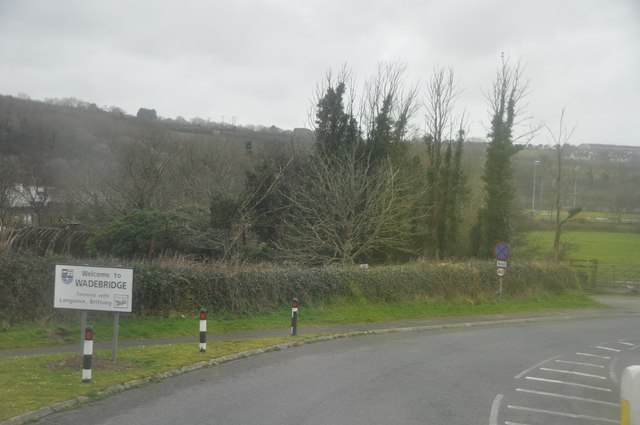
Bodieve is a small village located in the county of Cornwall, England. Situated just a few miles away from the popular town of Wadebridge, Bodieve is known for its picturesque setting and charming atmosphere.

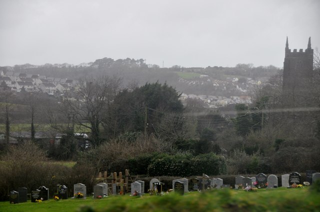
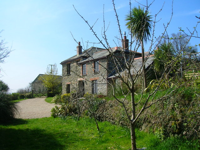
Surrounded by rolling hills and lush green countryside, Bodieve offers visitors a peaceful and idyllic retreat. The village is home to a small community of residents who enjoy a close-knit and friendly environment. The local architecture reflects the area's rich heritage, with traditional stone cottages and farmhouses dotting the landscape.

One of the main attractions in Bodieve is the Bodieve Mill, a historic watermill that dates back to the 18th century. This well-preserved mill showcases the area's industrial past and offers visitors a glimpse into the traditional methods of grain milling. The mill is often open to the public, providing guided tours and demonstrations.

For nature enthusiasts, the nearby Camel Estuary provides ample opportunities for outdoor activities such as hiking, bird watching, and fishing. The estuary is also a popular spot for sailing and kayaking, attracting water sports enthusiasts from all over the region.

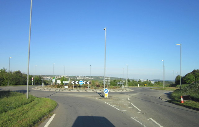
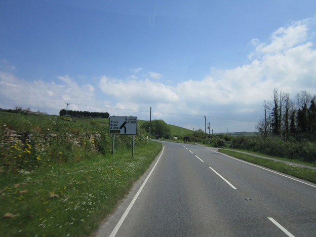
Despite its small size, Bodieve is well-connected to the surrounding areas. The nearby town of Wadebridge offers a range of amenities, including shops, restaurants, and leisure facilities. Additionally, the beautiful beaches of North Cornwall are just a short drive away, making Bodieve an ideal base for exploring the stunning coastline.

Overall, Bodieve is a charming village that offers visitors a tranquil and authentic Cornish experience. With its natural beauty and rich history, it is a hidden gem that should not be missed.

If you have any feedback on the listing, please let us know in the comments section below.
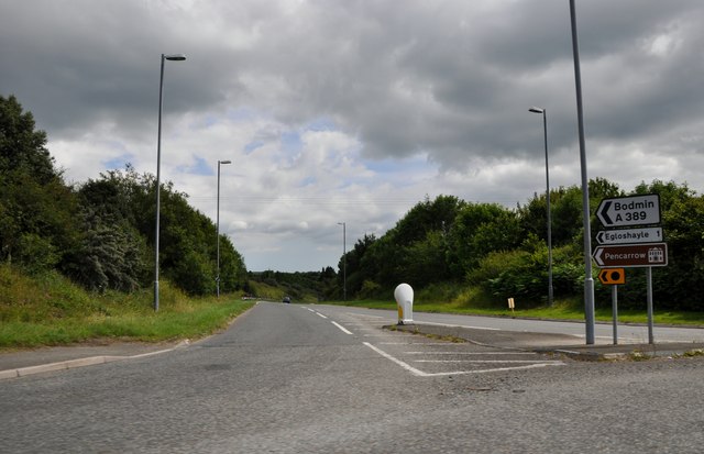
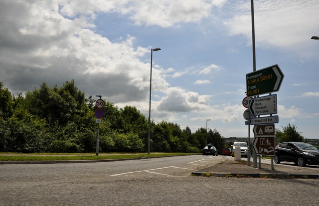
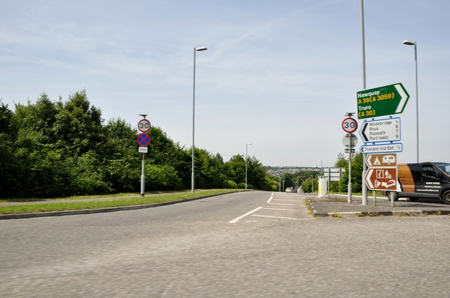
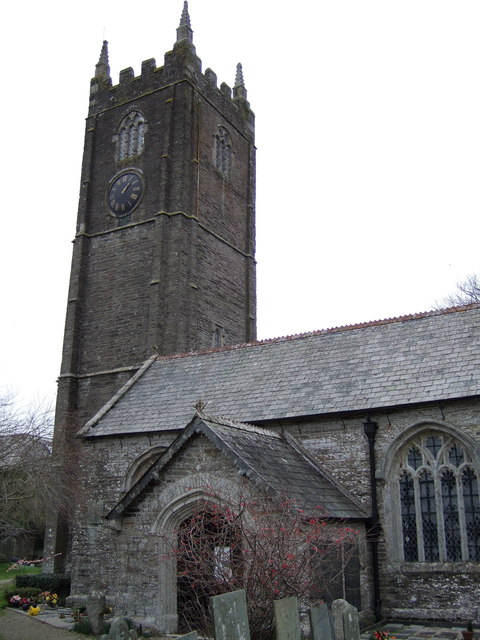
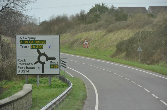
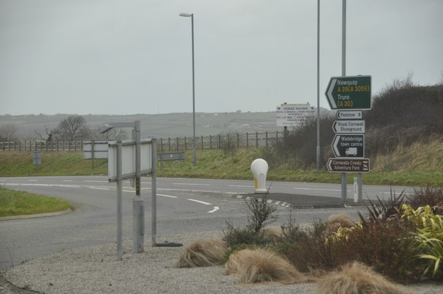
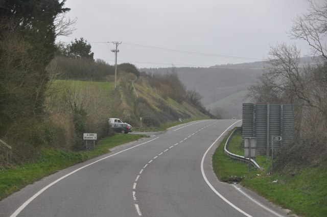
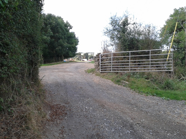
Bodieve Images

Images are sourced within 2km of 50.525873/-4.834159 or Grid Reference SW9973. Thanks to Geograph Open Source API. All images are credited.

Wadebridge : The A389 The A389 taken from the roundabout. This road heads towards Bodmin.
Wadebridge : The A389
The A389 taken from the roundabout. This road heads towards Bodmin.
Wadebridge : Gonvena Hill From the roundabout looking down the road known as Gonvena Hill which is also the B3314.
Wadebridge : Gonvena Hill
From the roundabout looking down the road known as Gonvena Hill which is also the B3314.
Wadebridge : Gonvena Hill Looking down Gonvena Hill from a roundabout on the A39.
Wadebridge : Gonvena Hill
Looking down Gonvena Hill from a roundabout on the A39.
Three Holes Cross on A39
St Petrock's church, Egloshayle
The A39 at the A389 and B3314 roundabout
The A39 towards Wadebridge
Egloshayle Road joins the A389
Wadebridge : A389 & Sign A sign welcoming people into the town of Wadebridge.
Wadebridge : A389 & Sign
A sign welcoming people into the town of Wadebridge.
Wadebridge : Cemetery & Scenery Looking over the cemetery and surrounding scenery of Wadebridge.
Wadebridge : Cemetery & Scenery
Looking over the cemetery and surrounding scenery of Wadebridge.
Wadebridge : The A389 The A389 heading around Wadebridge.
Wadebridge : The A389
The A389 heading around Wadebridge.
Wadebridge : A389 Roundabout From the roundabout looking towards the exit which heads to Newquay and Truro.
Wadebridge : A389 Roundabout
From the roundabout looking towards the exit which heads to Newquay and Truro.
Wadebridge : The A389 The A389 heading out of Wadebridge.
Wadebridge : The A389
The A389 heading out of Wadebridge.
The A39 heading east away from Wadebridge
Junction with the A39 at Three Hole Cross
Lane and field entrance near Three Hole Cross
Road to Penpont Farm
Show me another place!

Bodieve is located at Grid Ref: SW9973 (Lat: 50.525873, Lng: -4.834159)

Unitary Authority: Cornwall

Police Authority: Devon and Cornwall

What 3 Words

///splints.class.duplicate. Near Wadebridge, Cornwall

Nearby Locations

Bodieve

Related Wikis

Bodieve

Bodieve (Cornish: Bosyuv) is a small village in north Cornwall, England, in the United Kingdom. It is about 1 mile north of Wadebridge (where the 2011...

Burniere

Burniere is a settlement near Bodieve on the outskirts of Wadebridge in north Cornwall, England, United Kingdom.Charles Henderson proposed that the manor...

Wadebridge School

Wadebridge School is a coeducational secondary school with academy status, located in the town of Wadebridge, Cornwall, England. It has 1,235 pupils. The...

Wadebridge Town F.C.

Wadebridge Town Football Club is a football club based in Wadebridge, Cornwall, England, in the UK. They play in the South West Peninsula League Premier...

Related Videos

Three bedroom holiday cottage in Wadebridge, Cornwall

For more holiday apartments and villas, visit â–»https://www.alphaholidaylettings.com/ Check out full availability & pricing for this ...

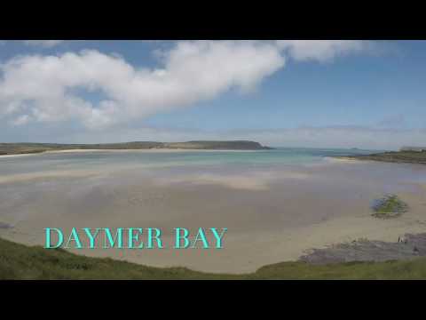
From Rock beach till Polzeath beach by walk,Cornwall.U.K.

From Rock beach till Polzeath beach by walk, Filmed with: GoPro Hero5(black) Songs: Harry Styles - Watermelon Sugar (Official ...

Nearby Amenities

Located within 500m of 50.525873,-4.834159
Bus Stop
Bodieve Caravan Park
Bus: yes
Naptan AtcoCode: 0800FWX38622
Naptan Bearing: SE
Naptan CommonName: Bodieve Caravan Park
Naptan NaptanCode: cordgtwt
Naptan Street: B3314
Naptan Verified: no
Public Transport: platform
Shelter: no
Source: naptan_import
Lat/Long: 50.5249321/-4.8309073
Bodieve
Name Kw: Bosyuv
Place: village
Source: OS_OpenData_StreetView
Wikidata: Q4936589
Lat/Long: 50.5263664/-4.8329549
Crossing
Crossing: uncontrolled
Lat/Long: 50.5218977/-4.8323543
Crossing: uncontrolled
Lat/Long: 50.5219605/-4.8327232
Generator Method: photovoltaic
Generator Output Electricity: yes
Generator Source: solar
Generator Type: solar_photovoltaic_panel
Location: roof
Power: generator
Lat/Long: 50.522919/-4.8297438
Generator Method: photovoltaic
Generator Output Electricity: yes
Generator Source: solar
Generator Type: solar_photovoltaic_panel
Location: roof
Power: generator
Lat/Long: 50.522728/-4.8294166
Generator Method: photovoltaic
Generator Output Electricity: yes
Generator Source: solar
Generator Type: solar_photovoltaic_panel
Location: roof
Power: generator
Lat/Long: 50.5216486/-4.8320746
Public Bookcase
Defibrillator
Booth: K6
Covered: booth
Defibrillator Location: inside old red phone box (that is now used as book exchange) in Bodieve
Disused Amenity: telephone
Emergency: defibrillator
Man Made: telephone_box
Public Bookcase Type: phone_box
Lat/Long: 50.525935/-4.8341509
Post Box
Brand: Royal Mail
Brand Wikidata: Q638098
Collection Times: Mo-Fr 15:15; Sa 10:15; Su off
Operator: Royal Mail
Operator Wikidata: Q638098
Post Box Mounting: concrete_post
Post Box Type: lamp
Ref: PL27 114
Royal Cypher: EIIR
Royal Cypher Wikidata: Q33102113
Survey Date: 2022-10-09
Lat/Long: 50.5258568/-4.833944
Defibrillator
Emergency: defibrillator
Indoor: no
Survey Date: 2022-10-09
Lat/Long: 50.5259286/-4.834139
Bench
Backrest: yes
Survey Date: 2022-10-09
Lat/Long: 50.5259061/-4.8341138
The data included in this document is from www.openstreetmap.org. The data is made available under ODbL.

Have you been to Bodieve?

Leave your review of Bodieve below (or comments, questions and feedback).