Bodgadfan

Settlement in Merionethshire

Wales

Bodgadfan

View from lay-by near Llangelynin Lighting was difficult as a very large dark rain cloud was looming behind the photographer at the time. A preceding part appears in the top left.
The heavens opened in Fairbourne about 20 minutes later.
Barmouth Bay appears in the foreground but with a good naked eye the Lleyn Peninsula was just visible on the horizon, slightly to the left and off centre.
View from lay-by near Llangelynin Credit: Richard Hoare

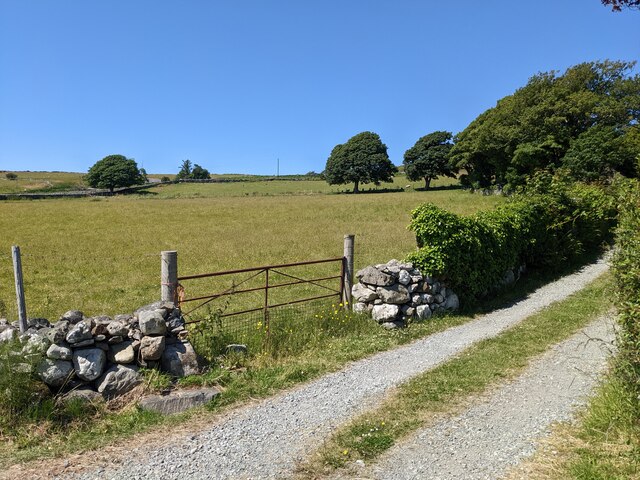
Bodgadfan is a small village located in the historic county of Merionethshire, in northwestern Wales. Situated amidst the picturesque Snowdonia National Park, the village is surrounded by stunning natural beauty and offers residents and visitors alike a tranquil and idyllic setting.

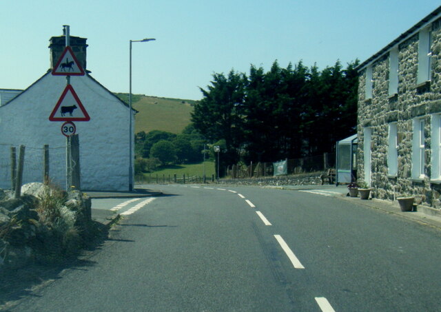
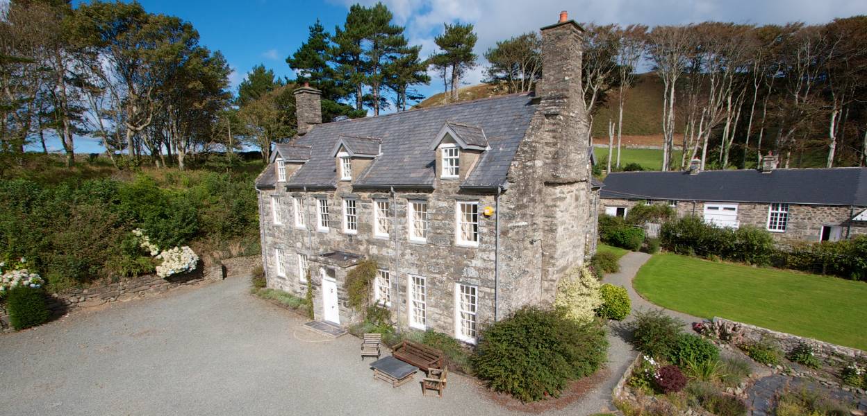
With a population of around 200 people, Bodgadfan is a close-knit community that prides itself on its warm and welcoming atmosphere. The village is characterized by its traditional Welsh architecture, featuring charming stone cottages and buildings that add to its charm and character.

The village is primarily agricultural, with farming being the main occupation for many residents. The fertile land in the area supports a variety of livestock and crops, contributing to a thriving local economy. Additionally, tourism plays a significant role in Bodgadfan's economy, attracting visitors who come to explore the beautiful countryside, hike the nearby mountains, or simply enjoy the tranquility of the area.

Bodgadfan is also known for its strong sense of community spirit, with regular events and activities organized by local groups and organizations. These include community fairs, sports tournaments, and cultural celebrations that bring together residents and visitors alike.

In terms of amenities, Bodgadfan boasts a village hall that serves as a hub for various community events and gatherings. However, for more extensive facilities such as schools, shops, and healthcare services, residents typically rely on nearby towns and villages.

Overall, Bodgadfan offers a peaceful and picturesque lifestyle, with its breathtaking scenery, strong community ties, and agricultural heritage making it a truly special place to live or visit.

If you have any feedback on the listing, please let us know in the comments section below.

Bodgadfan Images

Images are sourced within 2km of 52.637274/-4.10761 or Grid Reference SH5706. Thanks to Geograph Open Source API. All images are credited.

View from lay-by near Llangelynin Lighting was difficult as a very large dark rain cloud was looming behind the photographer at the time. A preceding part appears in the top left.
The heavens opened in Fairbourne about 20 minutes later.
Barmouth Bay appears in the foreground but with a good naked eye the Lleyn Peninsula was just visible on the horizon, slightly to the left and off centre.
View from lay-by near Llangelynin
Lighting was difficult as a very large dark rain cloud was looming behind the photographer at the time. A preceding part appears in the top left. The heavens opened in Fairbourne about 20 minutes later. Barmouth Bay appears in the foreground but with a good naked eye the Lleyn Peninsula was just visible on the horizon, slightly to the left and off centre.
Llangelynin church St Celynin's church at Llangelynnin dates from 13th century and is Grade I listed <span class="nowrap"><a title="https://coflein.gov.uk/en/site/43864/" rel="nofollow ugc noopener" href="https://coflein.gov.uk/en/site/43864/">Link</a><img style="margin-left:2px;" alt="External link" title="External link - shift click to open in new window" src="https://s1.geograph.org.uk/img/external.png" width="10" height="10"/></span>
Llangelynin church
St Celynin's church at Llangelynnin dates from 13th century and is Grade I listed LinkExternal link
Looking across the fields to Rhoslefain
The road towards Perllan
The lane to Pant-afal
The lane to Trefaes
The lane to Trefaes
Roadworks on the A493
Sea views from near Craig-faden-isaf
The lane to Craig-faden-isaf
A493 near Bryn Eglwys
A493 at Rhoslefain
A493 at Rhoslefain
A493 at Llangelynnin
A493 at Prysgau-isaf
Coed y Gweddill Farm
St Celynnin’s Church, Llangelynin The present church dates back to the 12th century.
St Celynnin’s Church, Llangelynin
The present church dates back to the 12th century.
Slopes below Cefn Bod Gadfan
Bron y Foel
Bron y Foel
Show me another place!

Bodgadfan is located at Grid Ref: SH5706 (Lat: 52.637274, Lng: -4.10761)

Unitary Authority: Gwynedd

Police Authority: North Wales

Also known as: Bod-Gadfan

What 3 Words

///shifters.concerts.sampled. Near Tywyn, Gwynedd

Nearby Locations

Bodgadfan Bod-Gadfan

Related Wikis

Llangelynnin, Gwynedd

Llangelynnin (; also Llangelynin) is a small village and community near Tywyn, Gwynedd, Wales. Although the village is usually known as Llangelynnin in...

Llangelynin railway station

Llangelynin station was a single-platform halt on the Cambrian Line, which served the small village of Llangelynin in Gwynedd, Wales. It was opened in...

A493 road

The A493 is a road located on the west coast of mid Wales and connects Dolgellau to Machynlleth via the coast, avoiding Corris and Cross Foxes. == Route... ==

Llanfendigaid Estate

Llanfendigaid Estate, located on the Cardigan Bay coast of southern Gwynedd (formerly Merioneth: Welsh: Meirionnydd, Sir Feirionydd), near Tywyn in north...

Nearby Amenities

Located within 500m of 52.637274,-4.10761
The data included in this document is from www.openstreetmap.org. The data is made available under ODbL.

Have you been to Bodgadfan?

Leave your review of Bodgadfan below (or comments, questions and feedback).