Botffordd

Settlement in Anglesey

Wales

Botffordd

Private road to Frogwy Fawr
Private road to Frogwy Fawr Credit: Steven Brown

Botffordd is a small village situated on the island of Anglesey, located in northwest Wales. It is nestled within the picturesque rural landscape, surrounded by rolling hills, lush green fields, and a charming coastline. The village is part of the community of Llanfihangel yn Nhowyn and falls under the administration of the Isle of Anglesey County Council.

Historically, Botffordd was primarily an agricultural community, with farming being the main occupation for its inhabitants. Over time, however, the village has undergone gradual changes, and today it is a mix of residential, agricultural, and commercial establishments. The tranquil atmosphere and breathtaking scenery make it an attractive place for those seeking a peaceful countryside lifestyle.

Despite its small size, Botffordd offers a range of amenities and services to its residents and visitors. These include a community hall, a primary school, and a local pub. The village also benefits from good transport links, with nearby road networks connecting it to other parts of Anglesey and beyond.

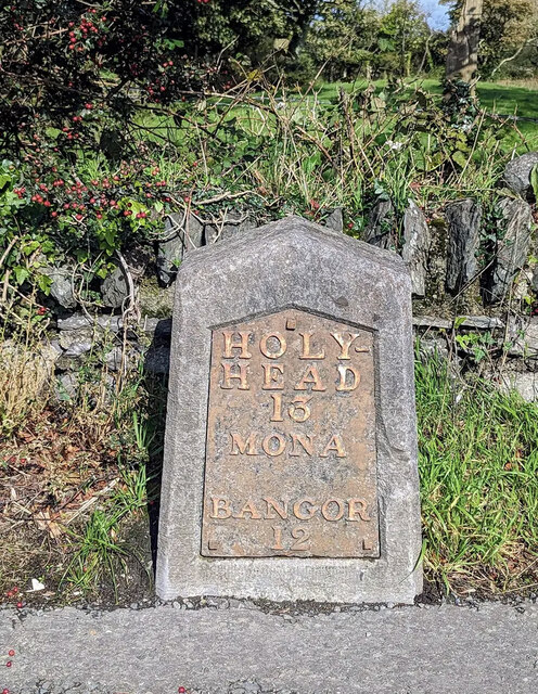
Surrounding Botffordd are several scenic spots and points of interest. The nearby coastline provides opportunities for coastal walks, fishing, and birdwatching, while the surrounding countryside offers ample opportunities for hiking and exploring nature. The village is also in close proximity to the larger town of Holyhead, which offers a wider range of amenities and transport connections, including ferry services to Dublin and other destinations.

All in all, Botffordd is a charming village with a rich history and stunning natural surroundings, making it a desirable place to live or visit for those seeking a peaceful and picturesque setting.

If you have any feedback on the listing, please let us know in the comments section below.
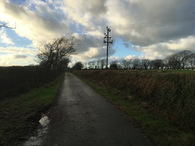
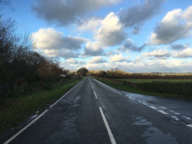
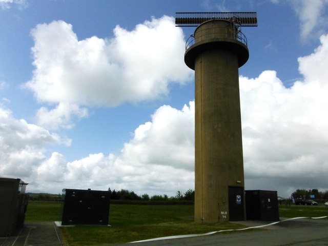
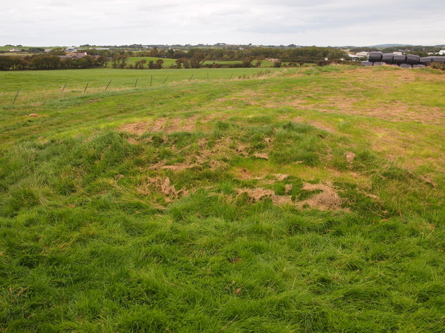
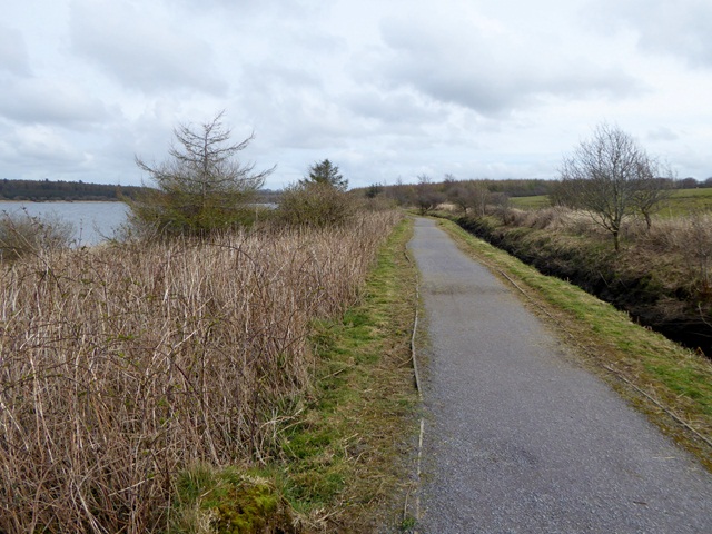
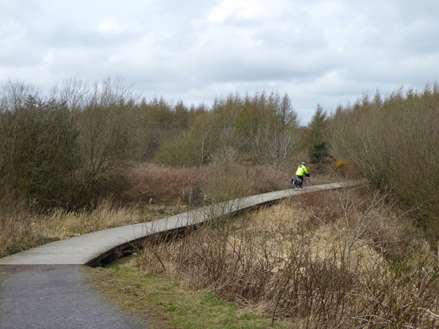
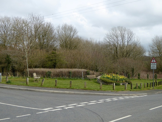
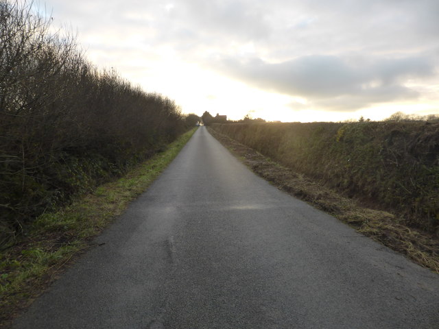
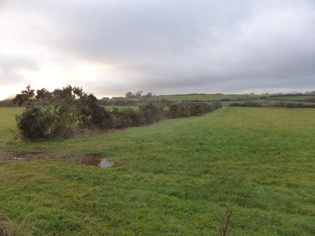
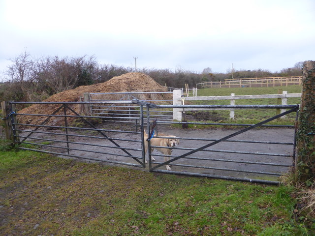
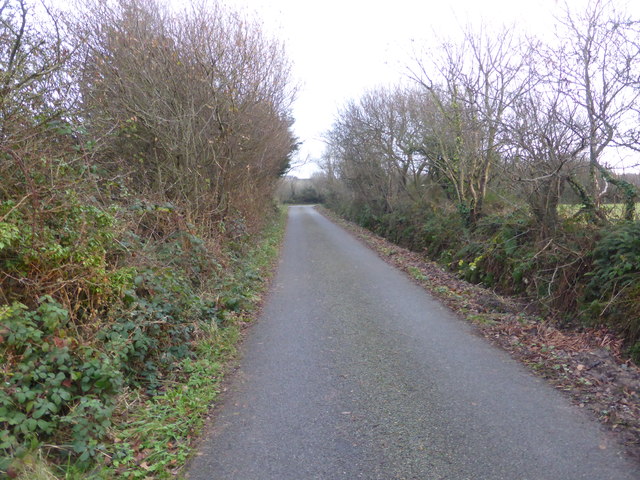
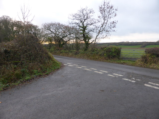
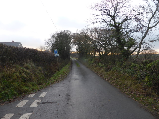
Botffordd Images

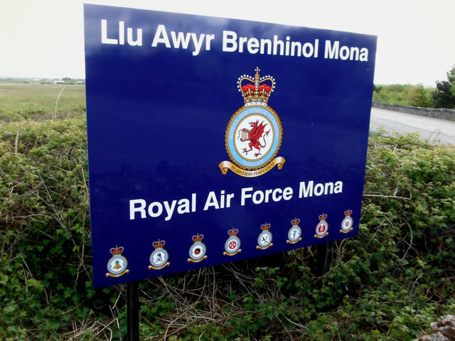
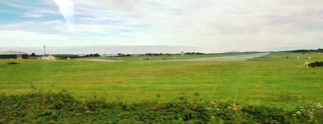
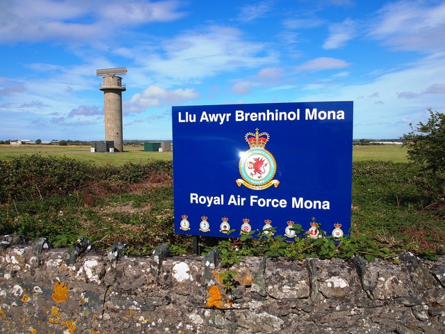
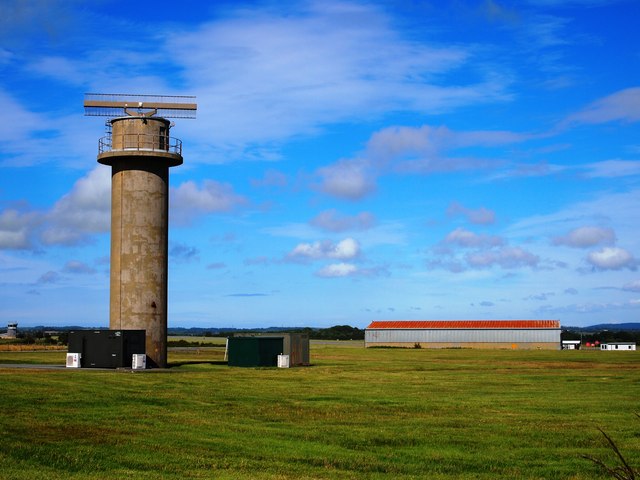
Images are sourced within 2km of 53.262065/-4.363092 or Grid Reference SH4276. Thanks to Geograph Open Source API. All images are credited.

Private road to Frogwy Fawr
Road towards Bodffordd
Old Milestone by the A5, Holyhead Road, Llangristiolus Parish Telford Plate by the A5, in parish of Llangristiolus (Anglesey District), Cerrigceinwen, Mona, on East side of road, opposite Mona Isaf and Old Coach House.

Inscription reads:-
HOLY-
HEAD
13
MONA

BANGOR
12

Grade II listed by Cadw.
Reference Number 21076: <span class="nowrap"><a title="https://cadwpublic-api.azurewebsites.net/reports/listedbuilding/FullReport?lang=&id=21076" rel="nofollow ugc noopener" href="https://cadwpublic-api.azurewebsites.net/reports/listedbuilding/FullReport?lang=&id=21076">Link</a><img style="margin-left:2px;" alt="External link" title="External link - shift click to open in new window" src="https://s1.geograph.org.uk/img/external.png" width="10" height="10"/></span>

Surveyed 

Milestone Society National ID: ANG_HH13
Old Milestone by the A5, Holyhead Road, Llangristiolus Parish
Telford Plate by the A5, in parish of Llangristiolus (Anglesey District), Cerrigceinwen, Mona, on East side of road, opposite Mona Isaf and Old Coach House. Inscription reads:- HOLY- HEAD 13 MONA BANGOR 12 Grade II listed by Cadw. Reference Number 21076: LinkExternal link Surveyed Milestone Society National ID: ANG_HH13
Royal Air Force Station Mona Radar tower
Royal Air Force Station Mona
Radar tower
Llu Awyr Brenhinol Mona Entrance sign at RAF Mona
Llu Awyr Brenhinol Mona
Entrance sign at RAF Mona
Mona Airfield Panorama Viewed from A5.
Mona Airfield Panorama
Viewed from A5.
Royal Air Force Mona The site is mainly used as a relief landing ground for RAF Valley.
Royal Air Force Mona
The site is mainly used as a relief landing ground for RAF Valley.
Radar Tower, RAF Mona
Tumulus Near Craiglas A Bronze Age barrow.
Tumulus Near Craiglas
A Bronze Age barrow.
Cycle track by the Cefni Reservoir The cycle track (part of National Cycle Network route 566) runs along the southern shore of the Cefni Reservoir.
Cycle track by the Cefni Reservoir
The cycle track (part of National Cycle Network route 566) runs along the southern shore of the Cefni Reservoir.
Boardwalk at the western end of the Cefni Reservoir Carrying National  Cycle Network route 566 over the marshy land near Bodffordd Farm.
Boardwalk at the western end of the Cefni Reservoir
Carrying National Cycle Network route 566 over the marshy land near Bodffordd Farm.
Small public green space in Bodffordd At the junction of the Llangwyllog road with the main B5109.
Small public green space in Bodffordd
At the junction of the Llangwyllog road with the main B5109.
Minor road near Rhostrehwfa
Farmland near Rhostrehwfa
Manure heap and its guardian
Single track road and ditch
Road junction near Bodorgan
An unlikely route to the A5 The indicated road is a narrow single-track lane.
An unlikely route to the A5
The indicated road is a narrow single-track lane.
Show me another place!

Botffordd is located at Grid Ref: SH4276 (Lat: 53.262065, Lng: -4.363092)

Unitary Authority: Isle of Anglesey

Police Authority: North Wales

Also known as: Bodffordd

What 3 Words

///positions.sideboard.deeds. Near Llangefni, Isle of Anglesey

Related Wikis

Bodffordd

Bodffordd () is a village and community in central Anglesey, Wales. As of the 2011 census, the community's population was 960. The community includes the...

Ynys Môn (UK Parliament constituency)

Ynys Môn (Welsh pronunciation: [ˌənɨs ˈmoːn]; officially called Anglesey until 1983) is a constituency of the House of Commons of the Parliament of the...

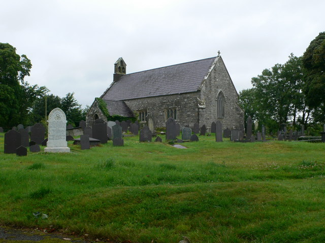
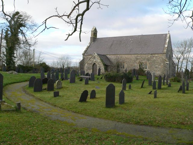
St Llwydian's Church, Heneglwys

St Llwydian's Church is a Grade II listed church in Heneglwys, Anglesey, Wales. The building dates to 1845, though it was erected using material from an...

Heneglwys

Heneglwys (meaning 'Old Church') is a village in Anglesey, in north-west Wales. St Llwydian's Church is of 12th century origin. It is in the community...

Nearby Amenities

Located within 500m of 53.262065,-4.363092
Bodffordd
Is In: Anglesey
Place: village
Wikidata: Q3402654
Lat/Long: 53.2640219/-4.3593894
Noexit: yes
Lat/Long: 53.2637357/-4.3643958
Generator Method: photovoltaic
Generator Orientation: 180
Generator Output Electricity: yes
Generator Solar Modules: 4
Generator Source: solar
Generator Type: solar_photovoltaic_panel
Location: roof
Power: generator
Lat/Long: 53.2641339/-4.3633293
Generator Method: photovoltaic
Generator Orientation: 180
Generator Output Electricity: yes
Generator Solar Modules: 4
Generator Source: solar
Generator Type: solar_photovoltaic_panel
Location: roof
Power: generator
Lat/Long: 53.2641443/-4.3630235
Direction: 165
Generator Method: photovoltaic
Generator Output Electricity: yes
Generator Solar Modules: 14
Generator Source: solar
Generator Type: solar_photovoltaic_panel
Location: roof
Power: generator
Lat/Long: 53.2634126/-4.3629685
Direction: 215
Generator Method: photovoltaic
Generator Output Electricity: yes
Generator Solar Modules: 16
Generator Source: solar
Generator Type: solar_photovoltaic_panel
Location: roof
Power: generator
Lat/Long: 53.2649875/-4.362978
Direction: 100
Generator Method: photovoltaic
Generator Output Electricity: yes
Generator Solar Modules: 12
Generator Source: solar
Generator Type: solar_photovoltaic_panel
Location: roof
Power: generator
Lat/Long: 53.2605898/-4.362914
Noexit: yes
Lat/Long: 53.2639311/-4.3650846
The data included in this document is from www.openstreetmap.org. The data is made available under ODbL.

Have you been to Botffordd?

Leave your review of Botffordd below (or comments, questions and feedback).