Heneglwys

Settlement in Anglesey

Wales

Heneglwys

Private road to Frogwy Fawr
Private road to Frogwy Fawr Credit: Steven Brown

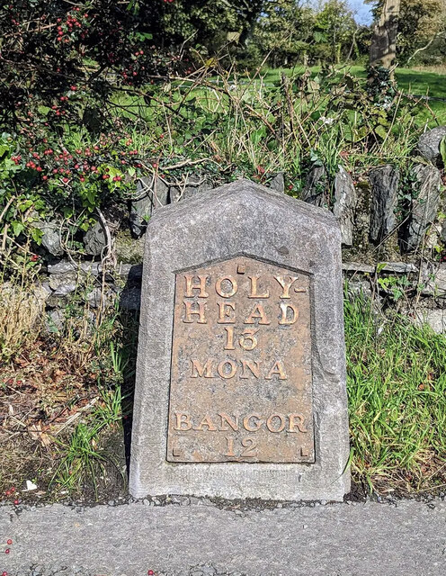
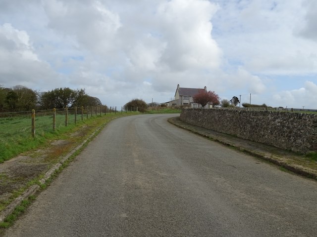
Heneglwys is a small village located on the picturesque island of Anglesey, off the coast of North Wales. Situated in the northwest of the island, it is nestled in a rural setting surrounded by rolling hills and scenic landscapes. The village is approximately 4 miles south of the town of Holyhead, making it easily accessible by road and providing convenient access to amenities and services.

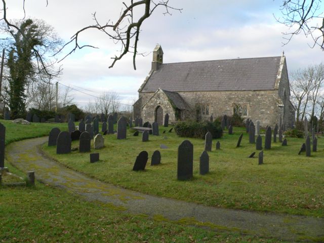
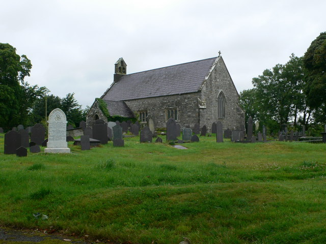
Heneglwys is known for its historic and cultural significance. The village is home to the Grade II listed St. Llwydian's Church, a 12th-century church that stands as a testament to the area's rich heritage. The church features beautiful stained glass windows and a unique bell tower, which adds to its charm and allure.

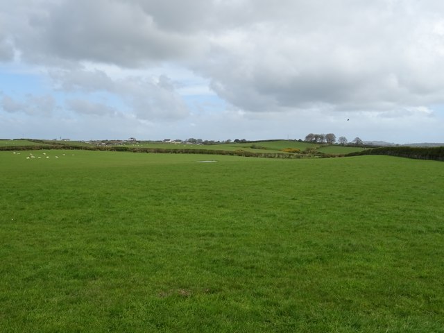
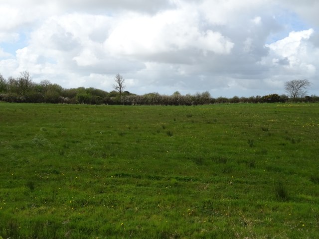
In addition to its historical landmarks, Heneglwys offers a peaceful and tranquil atmosphere, making it an ideal destination for those seeking a peaceful retreat. The surrounding countryside provides ample opportunities for outdoor activities such as hiking, cycling, and birdwatching. The village is also in close proximity to several stunning beaches, including Trearddur Bay and Rhoscolyn, which are popular among locals and tourists alike.

Although small in size, Heneglwys has a strong sense of community, with a friendly and welcoming atmosphere. The village boasts a close-knit community spirit and hosts regular events and activities, including fairs and festivals, which bring residents and visitors together.

Overall, Heneglwys is a charming village that offers a blend of history, natural beauty, and community spirit, making it a hidden gem on the enchanting island of Anglesey.

If you have any feedback on the listing, please let us know in the comments section below.
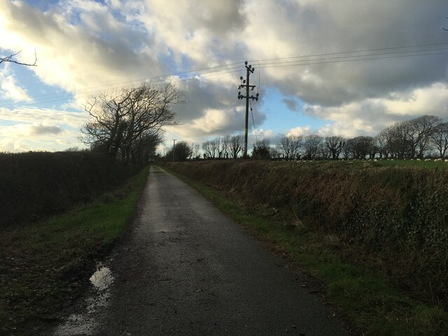
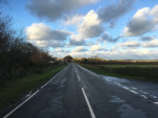
Heneglwys Images

Images are sourced within 2km of 53.257413/-4.3700218 or Grid Reference SH4276. Thanks to Geograph Open Source API. All images are credited.

Private road to Frogwy Fawr
Road towards Bodffordd
Old Milestone by the A5, Holyhead Road, Llangristiolus Parish Telford Plate by the A5, in parish of Llangristiolus (Anglesey District), Cerrigceinwen, Mona, on East side of road, opposite Mona Isaf and Old Coach House.

Inscription reads:-
HOLY-
HEAD
13
MONA

BANGOR
12

Grade II listed by Cadw.
Reference Number 21076: <span class="nowrap"><a title="https://cadwpublic-api.azurewebsites.net/reports/listedbuilding/FullReport?lang=&id=21076" rel="nofollow ugc noopener" href="https://cadwpublic-api.azurewebsites.net/reports/listedbuilding/FullReport?lang=&id=21076">Link</a><img style="margin-left:2px;" alt="External link" title="External link - shift click to open in new window" src="https://s1.geograph.org.uk/img/external.png" width="10" height="10"/></span>

Surveyed 

Milestone Society National ID: ANG_HH13
Old Milestone by the A5, Holyhead Road, Llangristiolus Parish
Telford Plate by the A5, in parish of Llangristiolus (Anglesey District), Cerrigceinwen, Mona, on East side of road, opposite Mona Isaf and Old Coach House. Inscription reads:- HOLY- HEAD 13 MONA BANGOR 12 Grade II listed by Cadw. Reference Number 21076: LinkExternal link Surveyed Milestone Society National ID: ANG_HH13
Old Milestone by the B5109, in Bodffordd Parish, Anglesey By the B5109, in parish of Bodfordd (Anglesey District), between Bryn-awel and Tan-y-bwlch.

Inscription once read:- : (Holyhead / 14) :

Surveyed

Milestone Society National ID: ANG_OHH14
Old Milestone by the B5109, in Bodffordd Parish, Anglesey
By the B5109, in parish of Bodfordd (Anglesey District), between Bryn-awel and Tan-y-bwlch. Inscription once read:- : (Holyhead / 14) : Surveyed Milestone Society National ID: ANG_OHH14
Grazing and WWII camp building, Bodwina
Minor road approaching Bodwina
Radar Tower, RAF Mona
Grazing near RAF Mona
Ffordd Caergybi (Holyhead Road) The A5 is a major trunk road which runs for about 181 miles from London, in England, to Holyhead, in Wales. For part of its route, it follows a section of the Roman route which later took the Anglo-Saxon name Watling Street.  At Oswestry, the A5 joins the A483 and becomes the bypass to the east of the town. It continues to multiplex with the A483 until it reaches Halton, where it diverges towards Llangollen and Holyhead.
Ffordd Caergybi (Holyhead Road)
The A5 is a major trunk road which runs for about 181 miles from London, in England, to Holyhead, in Wales. For part of its route, it follows a section of the Roman route which later took the Anglo-Saxon name Watling Street. At Oswestry, the A5 joins the A483 and becomes the bypass to the east of the town. It continues to multiplex with the A483 until it reaches Halton, where it diverges towards Llangollen and Holyhead.
Runway, RAF Mona
Runway, RAF Mona
Ffordd Caergybi (Holyhead Road) The A5 is a major trunk road which runs for about 181 miles from London, in England, to Holyhead, in Wales. For part of its route, it follows a section of the Roman route which later took the Anglo-Saxon name Watling Street.  At Oswestry, the A5 joins the A483 and becomes the bypass to the east of the town. It continues to multiplex with the A483 until it reaches Halton, where it diverges towards Llangollen and Holyhead.
Ffordd Caergybi (Holyhead Road)
The A5 is a major trunk road which runs for about 181 miles from London, in England, to Holyhead, in Wales. For part of its route, it follows a section of the Roman route which later took the Anglo-Saxon name Watling Street. At Oswestry, the A5 joins the A483 and becomes the bypass to the east of the town. It continues to multiplex with the A483 until it reaches Halton, where it diverges towards Llangollen and Holyhead.
Grazing near RAF Mona
Sheep grazing, Graiglas
Minor road towards Graiglas
Minor road towards Bodffordd
Ffordd Caergybi (Holyhead Road) heading east The A5 is a major trunk road which runs for about 181 miles from London, in England, to Holyhead, in Wales. For part of its route, it follows a section of the Roman route which later took the Anglo-Saxon name Watling Street.  At Oswestry, the A5 joins the A483 and becomes the bypass to the east of the town. It continues to multiplex with the A483 until it reaches Halton, where it diverges towards Llangollen and Holyhead.
Ffordd Caergybi (Holyhead Road) heading east
The A5 is a major trunk road which runs for about 181 miles from London, in England, to Holyhead, in Wales. For part of its route, it follows a section of the Roman route which later took the Anglo-Saxon name Watling Street. At Oswestry, the A5 joins the A483 and becomes the bypass to the east of the town. It continues to multiplex with the A483 until it reaches Halton, where it diverges towards Llangollen and Holyhead.
Drain off the A5
Drain off the A5
Grazing, Mona
Grazing, Mona
Show me another place!

Heneglwys is located at Grid Ref: SH4276 (Lat: 53.257413, Lng: -4.3700218)

Unitary Authority: Isle of Anglesey

Police Authority: North Wales

What 3 Words

///shook.rejoins.towers. Near Llangefni, Isle of Anglesey

Related Wikis

Heneglwys

Heneglwys (meaning 'Old Church') is a village in Anglesey, in north-west Wales. St Llwydian's Church is of 12th century origin. It is in the community...

St Llwydian's Church, Heneglwys

St Llwydian's Church is a Grade II listed church in Heneglwys, Anglesey, Wales. The building dates to 1845, though it was erected using material from an...

RAF Mona

Royal Air Force Mona, or more simply RAF Mona, (ICAO: EGOQ) is a Royal Air Force station near Bodffordd on the island of Anglesey, Wales. It is primarily...

Bodffordd

Bodffordd () is a village and community in central Anglesey, Wales. As of the 2011 census, the community's population was 960. The community includes the...

Nearby Amenities

Located within 500m of 53.257413,-4.3700218
Heneglwys
Is In: Anglesey
Place: hamlet
Wikidata: Q5714157
Lat/Long: 53.2582716/-4.3673717
Shop: car
Lat/Long: 53.2555544/-4.3682456
The data included in this document is from www.openstreetmap.org. The data is made available under ODbL.

Have you been to Heneglwys?

Leave your review of Heneglwys below (or comments, questions and feedback).