Bod-Gadfan

Settlement in Merionethshire

Wales

Bod-Gadfan

View from lay-by near Llangelynin Lighting was difficult as a very large dark rain cloud was looming behind the photographer at the time. A preceding part appears in the top left.
The heavens opened in Fairbourne about 20 minutes later.
Barmouth Bay appears in the foreground but with a good naked eye the Lleyn Peninsula was just visible on the horizon, slightly to the left and off centre.
View from lay-by near Llangelynin Credit: Richard Hoare

Bod-Gadfan is a small village located in the historic county of Merionethshire, Wales. Situated in the heart of Snowdonia National Park, it offers breathtaking views of the surrounding mountainous landscape. The village is nestled on the slopes of Cadair Idris, known for its rugged beauty and renowned walking trails.

Although Bod-Gadfan is a quiet and tranquil place, it attracts outdoor enthusiasts and nature lovers from far and wide. The area is a paradise for hikers and climbers, with a variety of routes suitable for all levels of experience. The nearby Mawddach Estuary also provides opportunities for scenic walks and birdwatching.

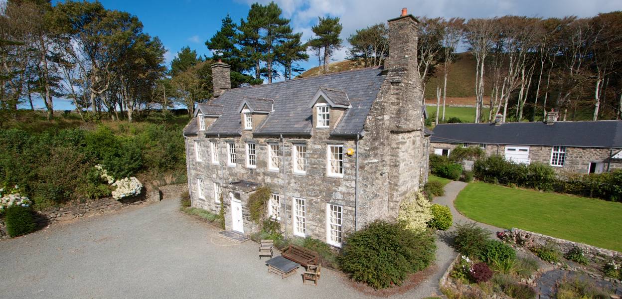
Bod-Gadfan itself is a small community with a close-knit population. The village is characterized by its traditional Welsh stone houses and agricultural heritage. The locals take great pride in preserving their cultural traditions, and visitors can often witness traditional Welsh music and dance performances during local festivals.

While the village may be small, it offers basic amenities such as a village hall, a primary school, and a community center. The nearest town for more extensive services is Dolgellau, located approximately 5 miles away.

In summary, Bod-Gadfan is a charming Welsh village that offers a peaceful retreat and access to the stunning natural beauty of Snowdonia National Park. Its location makes it an ideal destination for outdoor enthusiasts, while its close-knit community and cultural traditions provide a warm and welcoming atmosphere for visitors.

If you have any feedback on the listing, please let us know in the comments section below.
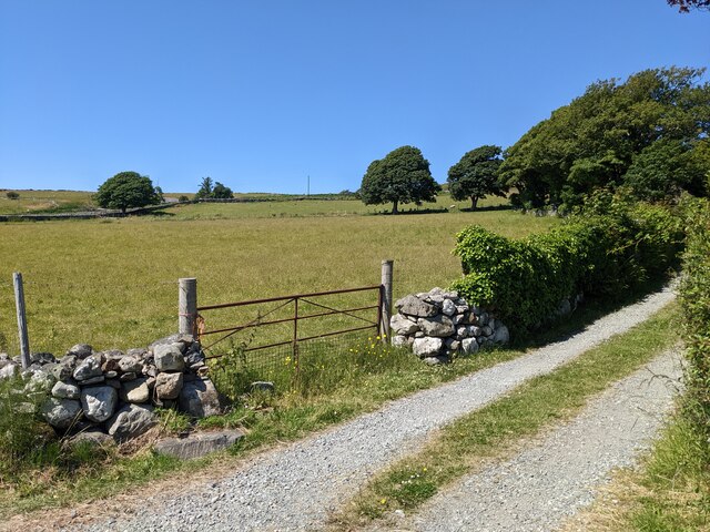
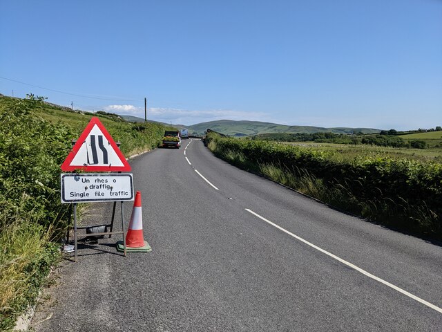
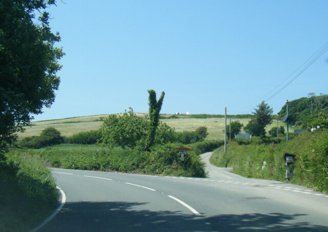
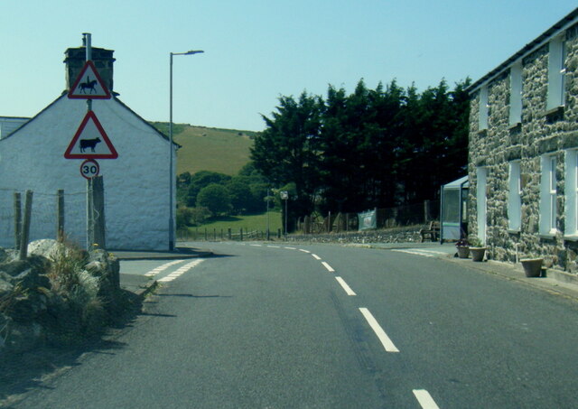
Bod-Gadfan Images

Images are sourced within 2km of 52.637274/-4.10761 or Grid Reference SH5706. Thanks to Geograph Open Source API. All images are credited.

View from lay-by near Llangelynin Lighting was difficult as a very large dark rain cloud was looming behind the photographer at the time. A preceding part appears in the top left.
The heavens opened in Fairbourne about 20 minutes later.
Barmouth Bay appears in the foreground but with a good naked eye the Lleyn Peninsula was just visible on the horizon, slightly to the left and off centre.
View from lay-by near Llangelynin
Lighting was difficult as a very large dark rain cloud was looming behind the photographer at the time. A preceding part appears in the top left. The heavens opened in Fairbourne about 20 minutes later. Barmouth Bay appears in the foreground but with a good naked eye the Lleyn Peninsula was just visible on the horizon, slightly to the left and off centre.
Llangelynin church St Celynin's church at Llangelynnin dates from 13th century and is Grade I listed <span class="nowrap"><a title="https://coflein.gov.uk/en/site/43864/" rel="nofollow ugc noopener" href="https://coflein.gov.uk/en/site/43864/">Link</a><img style="margin-left:2px;" alt="External link" title="External link - shift click to open in new window" src="https://s1.geograph.org.uk/img/external.png" width="10" height="10"/></span>
Llangelynin church
St Celynin's church at Llangelynnin dates from 13th century and is Grade I listed LinkExternal link
Looking across the fields to Rhoslefain
The road towards Perllan
The lane to Pant-afal
The lane to Trefaes
The lane to Trefaes
Roadworks on the A493
Sea views from near Craig-faden-isaf
The lane to Craig-faden-isaf
A493 near Bryn Eglwys
A493 at Rhoslefain
A493 at Rhoslefain
A493 at Llangelynnin
A493 at Prysgau-isaf
Coed y Gweddill Farm
St Celynnin’s Church, Llangelynin The present church dates back to the 12th century.
St Celynnin’s Church, Llangelynin
The present church dates back to the 12th century.
Slopes below Cefn Bod Gadfan
Bron y Foel
Bron y Foel
Show me another place!

Bod-Gadfan is located at Grid Ref: SH5706 (Lat: 52.637274, Lng: -4.10761)

Unitary Authority: Gwynedd

Police Authority: North Wales

Also known as: Bodgadfan

What 3 Words

///shifters.concerts.sampled. Near Tywyn, Gwynedd

Nearby Locations

Bod-Gadfan Bodgadfan

Related Wikis

Llangelynnin, Gwynedd

Llangelynnin (; also Llangelynin) is a small village and community near Tywyn, Gwynedd, Wales. Although the village is usually known as Llangelynnin in...

Llangelynin railway station

Llangelynin station was a single-platform halt on the Cambrian Line, which served the small village of Llangelynin in Gwynedd, Wales. It was opened in...

A493 road

The A493 is a road located on the west coast of mid Wales and connects Dolgellau to Machynlleth via the coast, avoiding Corris and Cross Foxes. == Route... ==

Llanfendigaid Estate

Llanfendigaid Estate, located on the Cardigan Bay coast of southern Gwynedd (formerly Merioneth: Welsh: Meirionnydd, Sir Feirionydd), near Tywyn in north...

Nearby Amenities

Located within 500m of 52.637274,-4.10761
The data included in this document is from www.openstreetmap.org. The data is made available under ODbL.

Have you been to Bod-Gadfan?

Leave your review of Bod-Gadfan below (or comments, questions and feedback).