Stanton

Settlement in Gloucestershire Tewkesbury

England

Stanton

Small green in Stanton The village has a couple of these greens, and they are all well maintained.
Small green in Stanton Credit: Bill Boaden

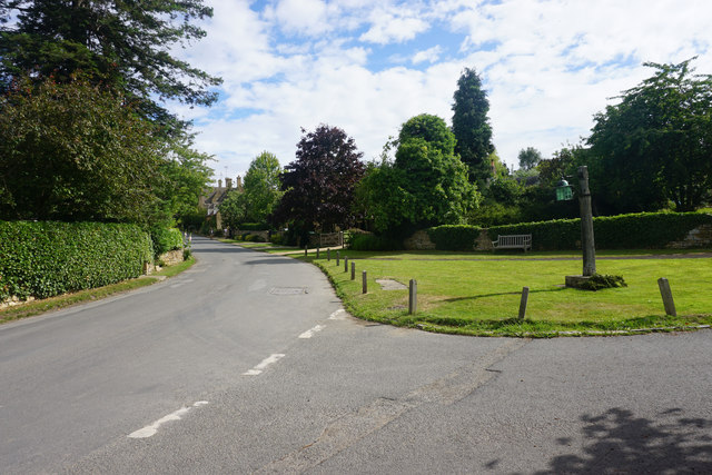
Stanton is a small village located in the county of Gloucestershire, England. Situated in the picturesque Cotswolds, it is part of the Cotswold District Council. With a population of around 200 residents, Stanton exudes a quaint and charming atmosphere that attracts visitors from far and wide.

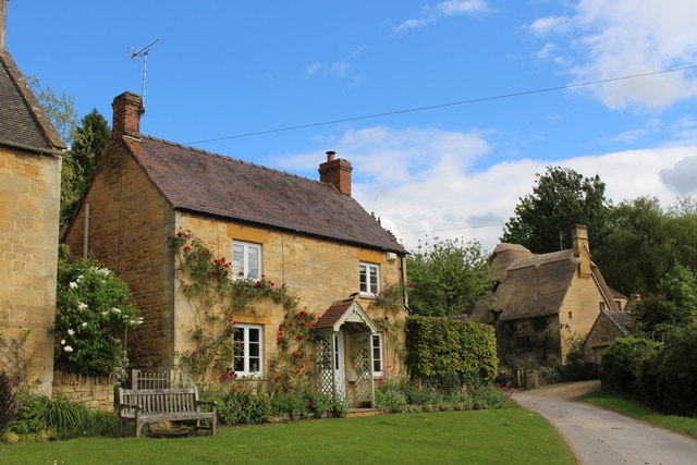
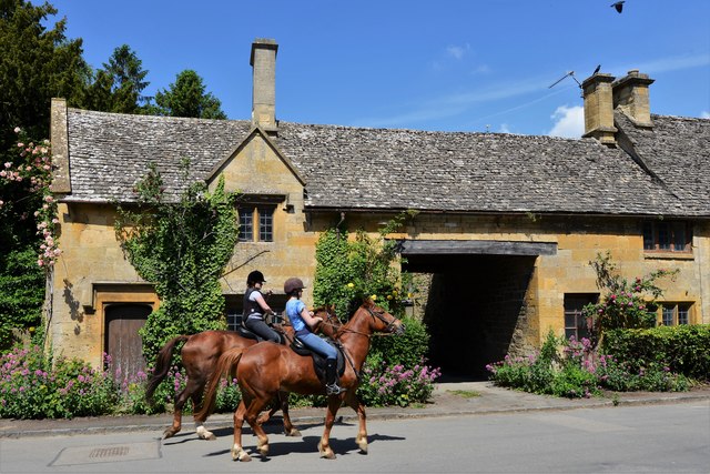
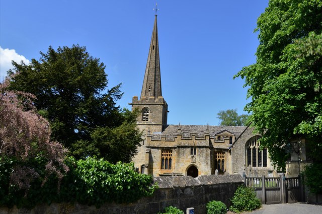
The village is renowned for its stunning architecture, consisting mainly of traditional Cotswold stone houses and cottages. These buildings showcase the rich history of the area, dating back to medieval times. Many of the houses feature steeply pitched roofs, mullioned windows, and decorative chimneys, giving Stanton a unique and timeless aesthetic.

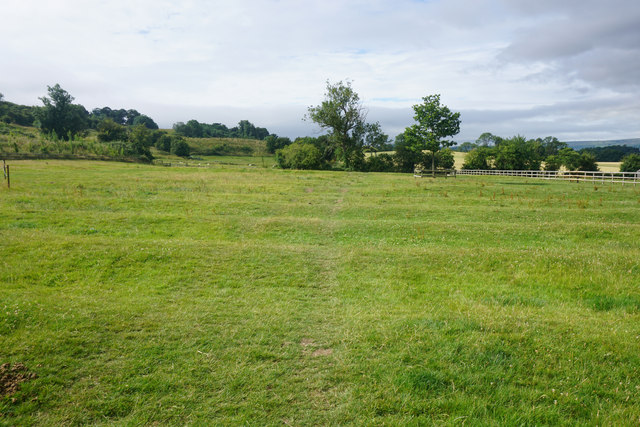
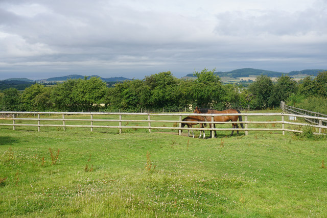
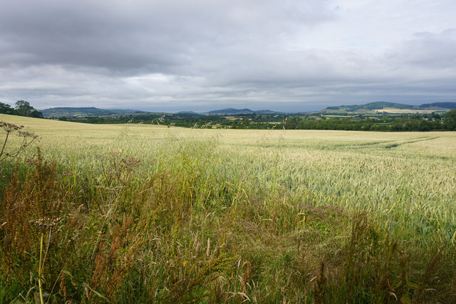
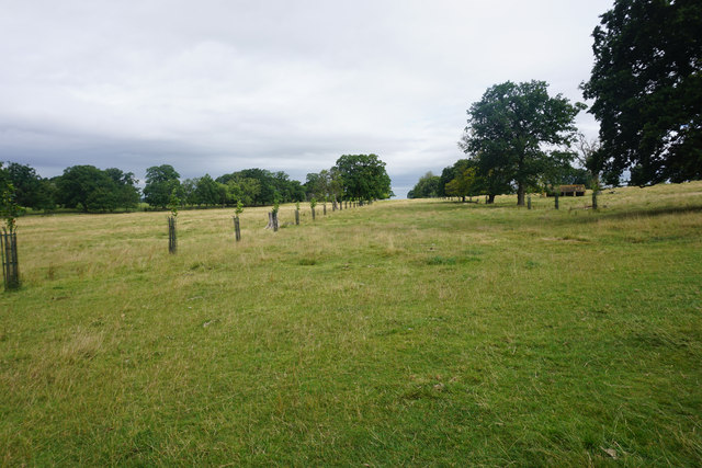
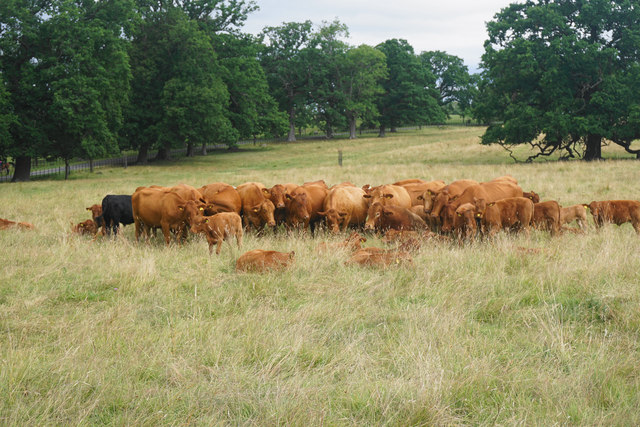
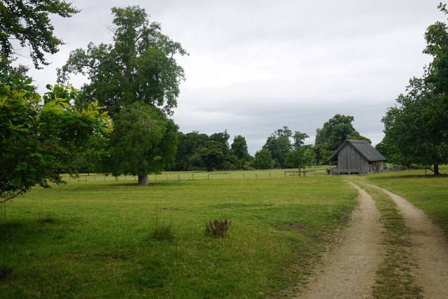
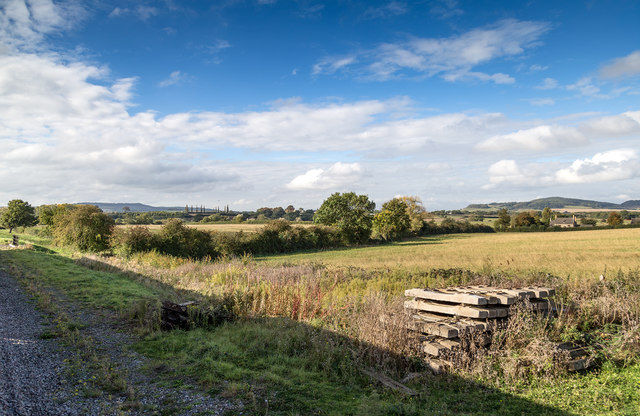
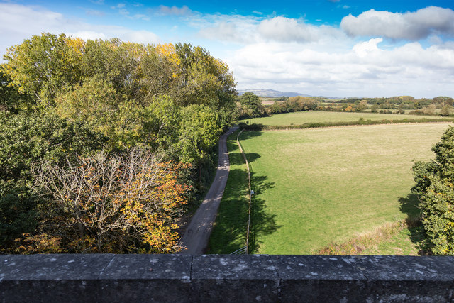
Surrounded by beautiful countryside, Stanton offers breathtaking views of rolling hills and lush landscapes. The village is also home to several walking trails and public footpaths, making it a popular destination for outdoor enthusiasts and nature lovers. The Cotswold Way, a long-distance footpath, passes near Stanton, providing opportunities for longer hikes and exploration of the surrounding area.

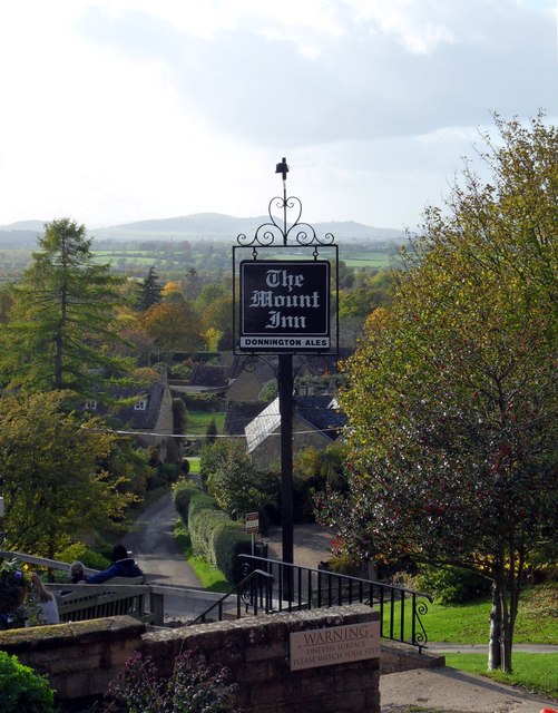
In addition to its natural beauty, Stanton boasts a vibrant community spirit. The village has a well-maintained local pub, The Mount Inn, which serves delicious food and drinks, often made with locally sourced ingredients. There is also a village hall that hosts various events and activities throughout the year, bringing residents together and fostering a strong sense of community.

Overall, Stanton offers a tranquil and idyllic setting, combining its rich architectural heritage with stunning natural scenery. Whether one is seeking a peaceful retreat or a taste of authentic English countryside living, Stanton is a captivating destination that captures the essence of the Cotswolds.

If you have any feedback on the listing, please let us know in the comments section below.
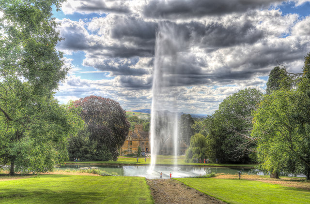
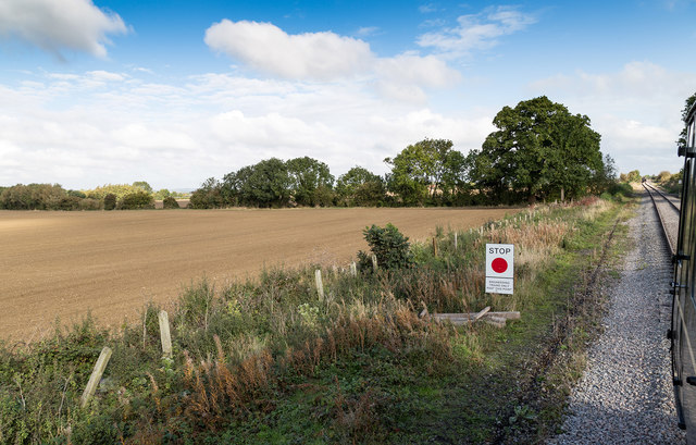
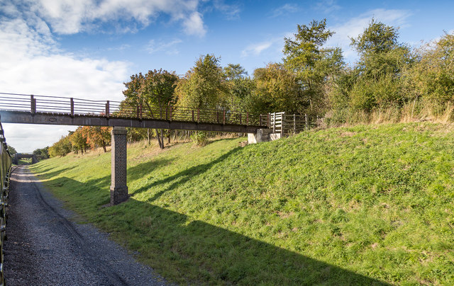
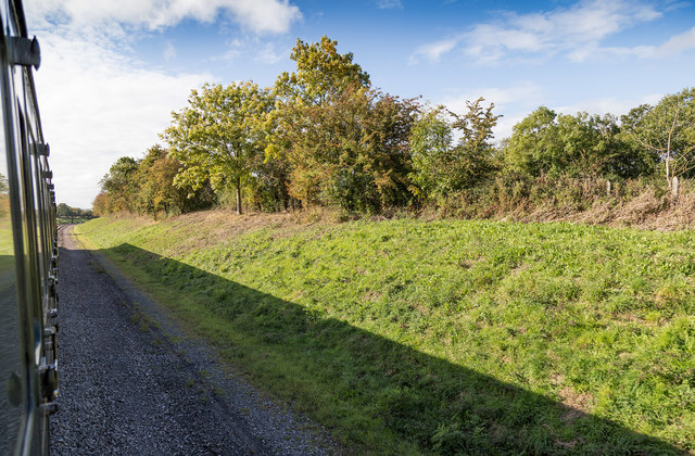
Stanton Images

Images are sourced within 2km of 52.006626/-1.9012103 or Grid Reference SP0634. Thanks to Geograph Open Source API. All images are credited.

Small green in Stanton The village has a couple of these greens, and they are all well maintained.
Small green in Stanton
The village has a couple of these greens, and they are all well maintained.
Footpath to Stanway Part of the Cotswold Way, leaving Stanton.
Footpath to Stanway
Part of the Cotswold Way, leaving Stanton.
Horses near Stanton
Horses near Stanton
Wheat field near Stanton The view from the Cotswold Way which at this point is staying at the bottom of the escarpment.
Wheat field near Stanton
The view from the Cotswold Way which at this point is staying at the bottom of the escarpment.
New plantings in Stanway Park The trees are part of a broad avenue which extends across Stanway Park. This is near the northern end, but it runs a few miles south from here.
New plantings in Stanway Park
The trees are part of a broad avenue which extends across Stanway Park. This is near the northern end, but it runs a few miles south from here.
A cluster of cows in Stanway Park They are sticking together by choice with many of their calves sitting in the grass in front of them.
A cluster of cows in Stanway Park
They are sticking together by choice with many of their calves sitting in the grass in front of them.
Track to the cricket ground The pavilion is the most interesting part, being donated by J M Barrie and now Grade II listed.
Track to the cricket ground
The pavilion is the most interesting part, being donated by J M Barrie and now Grade II listed.
Mount Inn, Stanton Looking west from the garden of the Mount Inn in the Cotswold Hills to the distant Malvern Hills.
Mount Inn, Stanton
Looking west from the garden of the Mount Inn in the Cotswold Hills to the distant Malvern Hills.
Stanway fountain The fountain, taken from up the hillside and showing the house in the background.
Stanway fountain
The fountain, taken from up the hillside and showing the house in the background.
The end of the line on the Gloucestershire Warwickshire Railway This is currently as far up the line towards Broadway as passenger trains are allowed, near Laverton.
Passengers can journey from Toddington on a DMU, stop briefly, and then return.
The end of the line on the Gloucestershire Warwickshire Railway
This is currently as far up the line towards Broadway as passenger trains are allowed, near Laverton. Passengers can journey from Toddington on a DMU, stop briefly, and then return.
Footbridge over the railway Footbridge over the Gloucestershire Warwickshire Railway north of Toddington.
Footbridge over the railway
Footbridge over the Gloucestershire Warwickshire Railway north of Toddington.
Shallow cutting on the GWR View south west on the Gloucestershire Warwickshire Railway near Stanton.
Shallow cutting on the GWR
View south west on the Gloucestershire Warwickshire Railway near Stanton.
View WSW on the GWR Looking WSW over farmland from the Gloucestershire Warwickshire Railway near Berry Wormington.
View WSW on the GWR
Looking WSW over farmland from the Gloucestershire Warwickshire Railway near Berry Wormington.
Lane to Stanway Grounds View WNW from the Gloucestershire Warwickshire Railway.
Lane to Stanway Grounds
View WNW from the Gloucestershire Warwickshire Railway.
Stanton in the May
Stanton in the May
Stanton Court cricket ground
Stanton High Street
Stanton High Street
Stanton, St. Michael's Church
Show me another place!

Stanton is located at Grid Ref: SP0634 (Lat: 52.006626, Lng: -1.9012103)

Administrative County: Gloucestershire

District: Tewkesbury

Police Authority: Gloucestershire

What 3 Words

///spoke.applause.handover. Near Broadway, Worcestershire

Related Wikis

Stanton, Gloucestershire

Stanton is a village and civil parish in Tewkesbury Borough, Gloucestershire, England. The village is a spring line settlement at the foot of the Cotswold...

Laverton, Gloucestershire

Laverton is a village in Tewkesbury Borough in Gloucestershire, England. It lies less than a mile south of the village of Buckland, and is in the civil...

Laverton Halt railway station

Laverton Halt railway station was a halt on the Honeybourne Line from Honeybourne to Cheltenham which served the hamlet of Laverton in Gloucestershire...

Stanway Viaduct

Stanway Viaduct is a viaduct located in Gloucestershire, UK. It carries the Gloucestershire Warwickshire Railway == History == During construction on 13...

Stanway House

Stanway House is a Jacobean manor house near the village of Stanway in Gloucestershire, England. The manor of Stanway was owned by Tewkesbury Abbey for...

Stanway, Gloucestershire

Stanway is a small village and civil parish in the county of Gloucestershire, England, and about 1 mile south of Stanton: both villages are on the Cotswold...

Buckland, Gloucestershire

Buckland is a village and civil parish in the borough of Tewkesbury, Gloucestershire, England. The parish, which also includes the village of Laverton...

Wormington Grange

Wormington Grange is a Grade II* listed country house in the civil parish of Stanton, Gloucestershire, England. It lies one mile (1.6 km) south of the...

Nearby Amenities

Located within 500m of 52.006626,-1.9012103
Pub
The Mount Inn
Operator: Donnington Brewery
Real Ale: yes
Source: survey
Lat/Long: 52.0064349/-1.8967992
Bus Stop
Stanton Court
Bus: yes
Naptan AtcoCode: 1600GL4405
Naptan Bearing: NE
Naptan CommonName: Stanton Court
Naptan NaptanCode: glogawjd
Naptan Street: Broadway Rd
Naptan Verified: no
Public Transport: platform
Source: naptan_import
Lat/Long: 52.0077118/-1.9027227
Bus Stop
Stanton Court
Bus: yes
Naptan AtcoCode: 1600GL4406
Naptan Bearing: SW
Naptan CommonName: Stanton Court
Naptan NaptanCode: glogawjg
Naptan Street: Broadway Rd
Naptan Verified: no
Public Transport: platform
Source: naptan_import
Lat/Long: 52.007621/-1.9026978
Post Box
Collection Times: Mo-Fr 16:30; Sa 08:00; Su off
Drive Through: no
Not Operator Wikidata: Q638098
Operator: Royal Mail
Post Box Type: lamp
Ref: WR12 3
Royal Cypher: EIIR
Royal Cypher Wikidata: Q33102113
Source: survey
Lat/Long: 52.0064068/-1.8992299
Barrier: kissing_gate
Lat/Long: 52.0082938/-1.9006118
Barrier: stile
Lat/Long: 52.0080527/-1.8999612
Barrier: stile
Lat/Long: 52.0079853/-1.9001039
Barrier: stile
Lat/Long: 52.0075104/-1.8985874
Barrier: stile
Lat/Long: 52.0092288/-1.8978659
Barrier: kissing_gate
Lat/Long: 52.0096135/-1.9012254
Barrier: stile
Lat/Long: 52.0079052/-1.8998002
Material: wood
Power: pole
Lat/Long: 52.0079788/-1.8945566
Material: wood
Power: pole
Lat/Long: 52.0083346/-1.8966379
Material: wood
Power: pole
Lat/Long: 52.0083855/-1.8977527
Location Transition: yes
Material: wood
Power: pole
Lat/Long: 52.008407/-1.8983531
Stanton Court
Location Transition: yes
Material: wood
Power: pole
Transformer: distribution
Voltage Primary: 11000
Lat/Long: 52.0083721/-1.9021491
Material: wood
Power: pole
Lat/Long: 52.0084426/-1.8991664
Material: wood
Power: pole
Lat/Long: 52.0084797/-1.8999968
The Vine Stables
Material: wood
Power: pole
Transformer: distribution
Voltage Primary: 11000
Lat/Long: 52.0085202/-1.9008637
Material: wood
Power: pole
Lat/Long: 52.0089642/-1.8978901
Material: wood
Power: pole
Lat/Long: 52.0097054/-1.8972616
Turning Loop
Lat/Long: 52.0072985/-1.9004937
Material: wood
Power: pole
Lat/Long: 52.0082755/-1.8956083
Charity Farm
Material: wood
Power: pole
Transformer: distribution
Voltage Primary: 11000
Lat/Long: 52.0066699/-1.8980223
Cricket Pitch Stanton
Material: wood
Power: pole
Transformer: distribution
Voltage Primary: 11000
Lat/Long: 52.0066005/-1.9039285
Oak Piece Farm
Material: wood
Power: pole
Transformer: distribution
Voltage Primary: 11000
Lat/Long: 52.0057147/-1.9069782
Booth: K6
Covered: booth
Disused Amenity: telephone
Listed Status: Grade II
Man Made: telephone_box
Tourism: information
Lat/Long: 52.0064602/-1.8992153
The data included in this document is from www.openstreetmap.org. The data is made available under ODbL.

Have you been to Stanton?

Leave your review of Stanton below (or comments, questions and feedback).