Stanton

Settlement in Suffolk West Suffolk

England

Stanton

Stanton Primary School
Stanton Primary School Credit: Dave Thompson

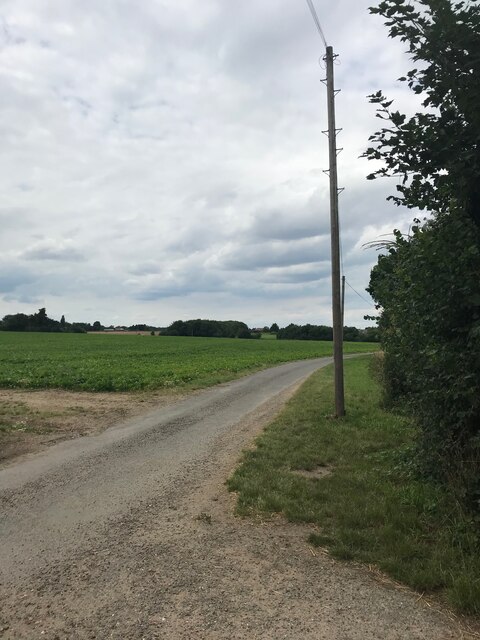
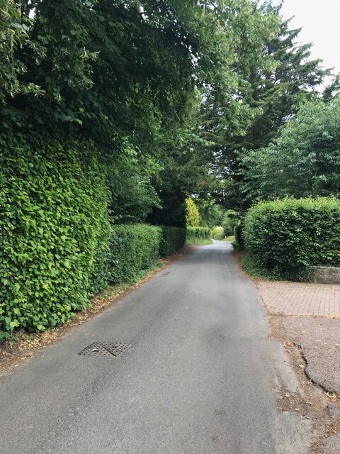
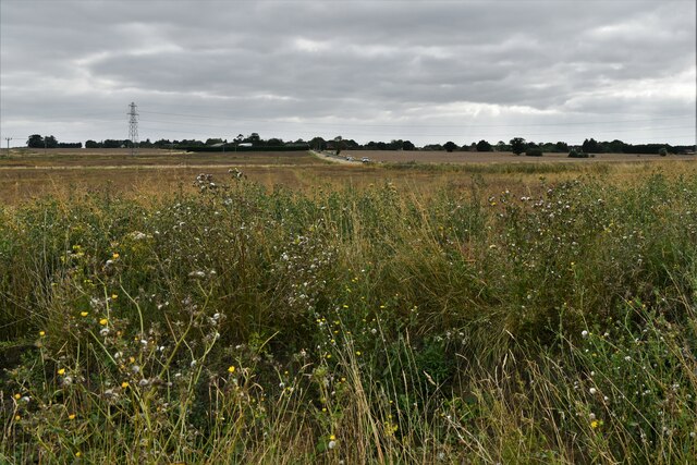
Stanton is a small village located in the county of Suffolk, England. Situated in the heart of the picturesque Suffolk countryside, Stanton is known for its tranquil setting and beautiful surroundings. The village is nestled within the Stour Valley, surrounded by rolling hills, green fields, and picturesque woodlands.

With a population of around 1,000 residents, Stanton exudes a sense of community and charm. The village is characterized by its traditional thatched-roof cottages, many of which date back to the 17th and 18th centuries, giving it a quintessentially English feel. The historic St. John the Baptist Church, built in the 14th century, stands as a prominent landmark in the village.

Stanton offers a range of amenities to its residents and visitors. The village has a local pub, The Cock Inn, which serves traditional English food and drinks, making it a popular spot for both locals and tourists. There is also a village shop, providing essential groceries and daily necessities.

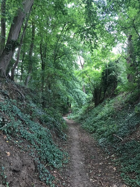
For nature enthusiasts, Stanton is an ideal location to explore the outdoors. The village is surrounded by numerous walking and cycling trails, showcasing the stunning Suffolk countryside. The nearby Suffolk Wildlife Trust's reserves, such as Bradfield Woods, offer opportunities for wildlife spotting and nature walks.

Overall, Stanton is a charming village that offers a peaceful retreat from the hustle and bustle of city life. With its idyllic surroundings, historic charm, and sense of community, Stanton is a hidden gem within the Suffolk countryside.

If you have any feedback on the listing, please let us know in the comments section below.
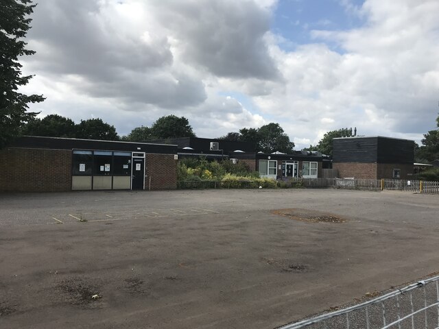
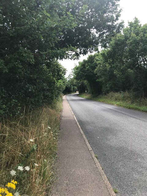
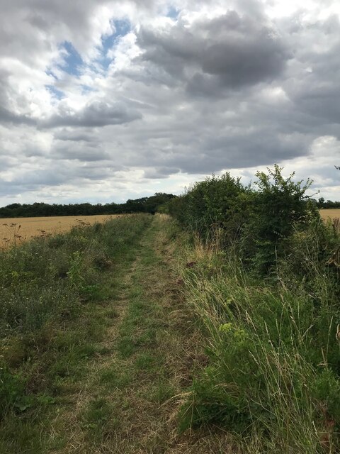
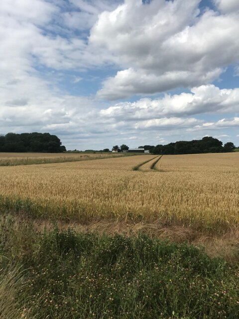
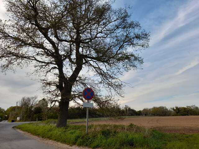
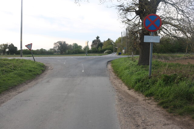
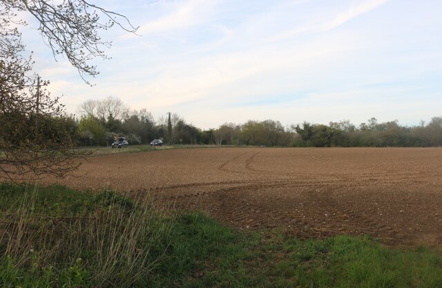
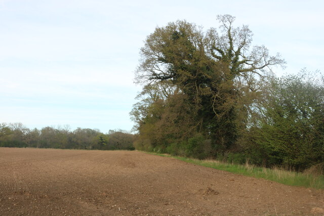
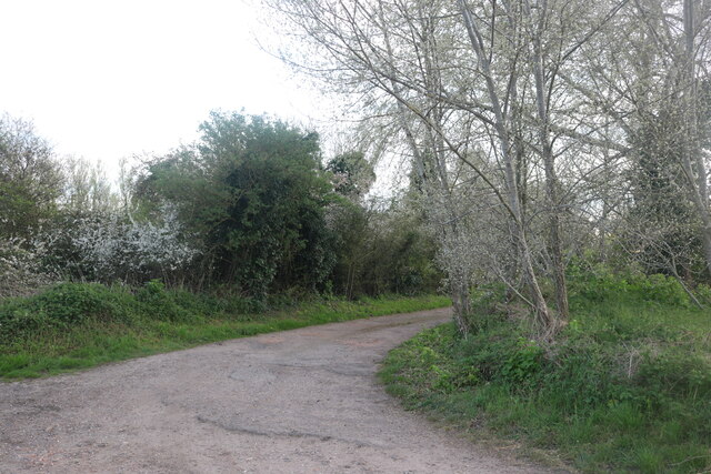
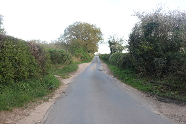
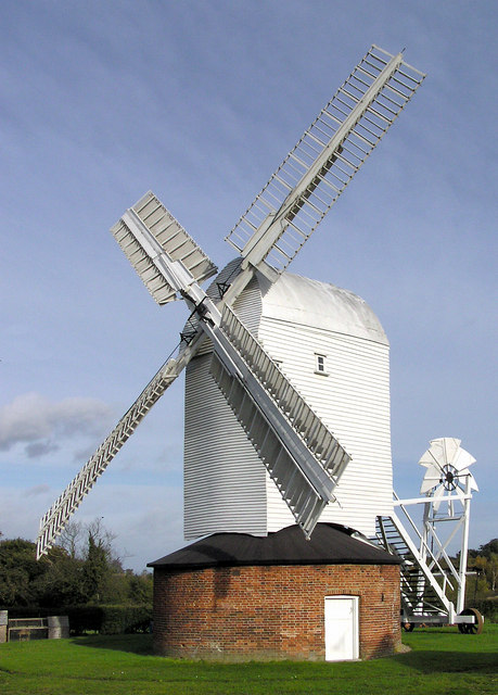
Stanton Images

Images are sourced within 2km of 52.322979/0.88439676 or Grid Reference TL9673. Thanks to Geograph Open Source API. All images are credited.

Stanton Primary School
On Upthorpe Road
On Upthorpe Road
Bridleway near Upthorpe
On Packlose Lane
On Packlose Lane
On The Grundle
On The Grundle
On The Grundle
On The Grundle
On Wyken Road
On Wyken Road
Hepworth: Field Lane and power lines crossing it Called a 'lane' but really a farm track.
Hepworth: Field Lane and power lines crossing it
Called a 'lane' but really a farm track.
Stanton: Houses in Bobby's Way
Stanton: Looking towards the A143 from Barmingham Road
Stanton: Houses in Chare Road
Barningham: Looking towards Stanton Road (B1111)
Wyken Road, Stanton Looking towards Bury Road
Wyken Road, Stanton
Looking towards Bury Road
Wyken Road crossing Bury Road, Stanton
Field by Bury Road, Stanton
Track off Wyken Road, Stanton
Wyken Road, Stanton
Wyken Road, Stanton
Show me another place!

Stanton is located at Grid Ref: TL9673 (Lat: 52.322979, Lng: 0.88439676)

Administrative County: Suffolk

District: West Suffolk

Police Authority: Suffolk

What 3 Words

///overjoyed.lawn.growl. Near Ixworth, Suffolk

Nearby Locations

Stanton

Related Wikis

Stanton, Suffolk

Stanton is a village and civil parish in the West Suffolk district of Suffolk in eastern England, about nine miles north-east of Bury St Edmunds, on the...

Upthorpe Mill, Stanton

Upthorpe Mill is a Grade II* listed post mill and scheduled monument at Stanton, Suffolk, England, which has been restored to working order. == History... ==

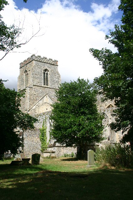
St John the Baptist's Church, Stanton

St John the Baptist's Church is a redundant Anglican church in the village of Stanton, Suffolk, England. It is recorded in the National Heritage List...

Stanton Chare

Stanton Chare is a hamlet in West Suffolk district, Suffolk, England. It is near the large village of Stanton. The A143 road and B1111 road are nearby...

Nearby Amenities

Located within 500m of 52.322979,0.88439676
Crossing
Crossing Island: yes
Lat/Long: 52.3262814/0.879896
Stanton
Place: village
Source: npe
Wikidata: Q2779316
Lat/Long: 52.3234959/0.8799893
Bus Stop
Jacobs Close
Bus: yes
Naptan AtcoCode: 390050084
Naptan Bearing: W
Naptan CommonName: Jacobs Close
Naptan Indicator: opp
Naptan Landmark: Jacobs Close
Naptan NaptanCode: sufgdgwj
Naptan Street: Old Bury Road
Naptan Verified: no
Public Transport: platform
Source: naptan_import
Lat/Long: 52.3250783/0.8783617
Bus Stop
Jacobs Close
Bus: yes
Naptan AtcoCode: 390050085
Naptan Bearing: E
Naptan BusStopType: CUS
Naptan CommonName: Jacobs Close
Naptan Indicator: adj
Naptan Landmark: Jacobs Close
Naptan NaptanCode: sufgdgwm
Naptan Street: Old Bury Road
Naptan Verified: no
Public Transport: platform
Source: naptan_import
Lat/Long: 52.3250946/0.879537
Bus Stop
Memorial
Bus: yes
Naptan AtcoCode: 390050086
Naptan Bearing: E
Naptan CommonName: Memorial
Naptan Indicator: adj
Naptan Landmark: Memorial
Naptan NaptanCode: sufgdgwp
Naptan Street: Old Bury Road
Public Transport: platform
Shelter: yes
Source: naptan_import;survey
Lat/Long: 52.3238873/0.8839503
Bus Stop
Memorial
Bus: yes
Naptan AtcoCode: 390050087
Naptan Bearing: W
Naptan CommonName: Memorial
Naptan Indicator: opp
Naptan Landmark: Memorial
Naptan NaptanCode: sufgdgwt
Naptan Street: Old Bury Road
Public Transport: platform
Source: naptan_import;survey
Lat/Long: 52.3240683/0.8838241
Bus Stop
Knoll Corner
Bus: yes
Naptan AtcoCode: 390050088
Naptan Bearing: E
Naptan CommonName: Knoll Corner
Naptan Indicator: adj
Naptan Landmark: Knoll Corner
Naptan NaptanCode: sufgdjad
Naptan Street: Upthorpe Road
Naptan Verified: no
Public Transport: platform
Source: naptan_import
Lat/Long: 52.3238386/0.8857497
Bus Stop
Knoll Corner
Bus: yes
Naptan AtcoCode: 390050089
Naptan Bearing: W
Naptan BusStopType: CUS
Naptan CommonName: Knoll Corner
Naptan Indicator: opp
Naptan Landmark: Knoll Corner
Naptan NaptanCode: sufgdjag
Naptan Street: Upthorpe Road
Naptan Verified: no
Public Transport: platform
Source: naptan_import
Lat/Long: 52.3238349/0.8853755
Blackbourne Middle School
Naptan AtcoCode: 390050090
Naptan Bearing: NW
Naptan BusStopType: CUS
Naptan CommonName: Blackbourne Middle School
Naptan Indicator: o/s
Naptan Landmark: Blackbourne Middle School
Naptan NaptanCode: sufgdjaj
Naptan Street: Upthorpe Road
Naptan Verified: no
Source: naptan_import
Lat/Long: 52.3225722/0.8889131
Bus Stop
Buckles Field
Bus: yes
Naptan AtcoCode: 390051215
Naptan Bearing: NE
Naptan BusStopType: CUS
Naptan CommonName: Buckles Field
Naptan Indicator: adj
Naptan Landmark: Buckles Field
Naptan NaptanCode: sufjptma
Naptan Street: Hepworth Road
Naptan Verified: no
Public Transport: platform
Source: naptan_import
Lat/Long: 52.3249689/0.8883648
Bus Stop
Buckles Field
Bus: yes
Naptan AtcoCode: 390051216
Naptan Bearing: SW
Naptan BusStopType: CUS
Naptan CommonName: Buckles Field
Naptan Indicator: opp
Naptan Landmark: Buckles Field
Naptan NaptanCode: sufjptmd
Naptan Street: Hepworth Road
Naptan Verified: no
Public Transport: platform
Source: naptan_import
Lat/Long: 52.3247283/0.8882757
Post Box
Collection Times: Mo-Fr 16:30; Sa 11:30
Post Box Design: type_n
Post Box Mounting: pier
Post Box Type: lamp
Ref: IP31 2112
Royal Cypher: EIIR
Royal Cypher Wikidata: Q33102113
Lat/Long: 52.3227131/0.8846007
Turning Circle
Lat/Long: 52.3261996/0.8861381
Turning Circle
Lat/Long: 52.3253184/0.8854093
Turning Circle
Lat/Long: 52.3255509/0.8861183
Turning Circle
Lat/Long: 52.3262038/0.8821666
Turning Circle
Lat/Long: 52.3250235/0.8808963
Turning Circle
Lat/Long: 52.3246826/0.8829219
Turning Circle
Lat/Long: 52.3248999/0.8844031
Turning Circle
Lat/Long: 52.3256006/0.8845355
Turning Circle
Lat/Long: 52.3258734/0.8803384
Turning Circle
Lat/Long: 52.3252334/0.8799694
Turning Circle
Lat/Long: 52.325994/0.8811967
Turning Circle
Lat/Long: 52.3256268/0.879154
Turning Circle
Lat/Long: 52.3235862/0.8822525
Turning Circle
Lat/Long: 52.3217133/0.8802097
Turning Circle
Lat/Long: 52.3228989/0.8828618
Turning Circle
Lat/Long: 52.3204653/0.8819989
Turning Circle
Lat/Long: 52.3220262/0.882544
Turning Circle
Lat/Long: 52.3209614/0.8810856
Turning Circle
Lat/Long: 52.323098/0.8850851
Turning Circle
Lat/Long: 52.3214264/0.8830543
Turning Circle
Lat/Long: 52.3197512/0.8831966
Turning Circle
Lat/Long: 52.3216923/0.8864324
Turning Circle
Lat/Long: 52.3228202/0.8863552
Turning Circle
Lat/Long: 52.3243258/0.8873937
Crossing
Lat/Long: 52.3237856/0.8855983
Addr Postcode: IP31 2AW
Addr Street: Upthorpe Road
Man Made: windmill
Source Addr: FSA Food Hygiene Ratings Database
Lat/Long: 52.3223951/0.8911412
Recycling
Location: overground
Recycling Type: container
Lat/Long: 52.3240593/0.8796371
Palmers Bakery
Addr Postcode: IP31 2BP
Addr Street: The Street
Fhrs Id: 1674976
Shop: bakery
Source Addr: FSA Food Hygiene Ratings Database
Url: http://www.palmersbakery.co.uk/?page_id=74
Lat/Long: 52.323304/0.8844594
Historic: memorial
Lat/Long: 52.3239327/0.8841018
Turning Circle
Lat/Long: 52.3258831/0.8890947
Waste Basket
Lat/Long: 52.3267225/0.8851664
Waste Basket
Waste: dog_excrement
Lat/Long: 52.3212237/0.8849654
Post Box
Collection Times: Mo-Fr 16:30; Sa 11:15
Post Box Mounting: pier
Post Box Type: lamp
Ref: IP31 2302
Royal Cypher: EIIR
Royal Cypher Wikidata: Q33102113
Lat/Long: 52.3253688/0.8827714
Fast Food
Stanton Fish & Chips
Addr Postcode: IP31 2BP
Addr Street: The Street
Cuisine: fish_and_chips
Fhrs Id: 1674645
Source Addr: FSA Food Hygiene Ratings Database
Lat/Long: 52.3235303/0.8843726
cuttinroom.com
Shop: hairdresser
Url: http://cuttinroom.com/
Lat/Long: 52.3234673/0.8839301
Crossing
Crossing: uncontrolled
Lat/Long: 52.3228427/0.8885634
Barrier: chicane
Lat/Long: 52.3251262/0.879668
Waste Basket
Lat/Long: 52.3240985/0.879668
Waste Basket
Lat/Long: 52.3230542/0.8795888
Barrier: chicane
Lat/Long: 52.3229907/0.8797111
Fitness Station: horizontal_bar
Leisure: fitness_station
Sport: fitness
Lat/Long: 52.3237567/0.8791281
Fitness Station: horizontal_ladder
Leisure: fitness_station
Sport: fitness
Lat/Long: 52.3237774/0.8790427
Fitness Station: captains_chair
Leisure: fitness_station
Sport: fitness
Lat/Long: 52.3237266/0.8793155
Leisure: fitness_station
Note: swinging seat with fixed foot rests to push against.
Sport: fitness
Lat/Long: 52.3237368/0.8792642
Fitness Station: air_walker
Leisure: fitness_station
Sport: fitness
Lat/Long: 52.3237509/0.8791965
Waste Basket
Lat/Long: 52.3246506/0.8809857
Waste Basket
Lat/Long: 52.3239139/0.8838824
Bench
Lat/Long: 52.3239402/0.8838535
Waste Basket
Lat/Long: 52.3254464/0.8827652
Entrance: main
Lat/Long: 52.3237175/0.885282
Defibrillator
Defibrillator Location: On exterior wall of Stanton Surgery, to the left of the main entrance, facing the drive to the car-park.
Emergency: defibrillator
Ref GB The Circuit: EFE143B6-5DD5-4E78-A7AD-AD7300C03222
Lat/Long: 52.3257375/0.8830817
Entrance: main
Lat/Long: 52.3257079/0.883082
Crossing
Lat/Long: 52.3238148/0.8856982
Addr City: Bury St Edmunds
Addr Housenumber: 25
Addr Postcode: IP31 2XA
Addr Street: The Chase
Addr Village: Stanton
Source Addr Postcode: code-point_open
Lat/Long: 52.3246921/0.8819962
Addr City: Bury St Edmunds
Addr Housenumber: 23
Addr Postcode: IP31 2XA
Addr Street: The Chase
Addr Village: Stanton
Source Addr Postcode: code-point_open
Lat/Long: 52.3247552/0.8821303
Addr City: Bury St Edmunds
Addr Housenumber: 22
Addr Postcode: IP31 2XA
Addr Street: The Chase
Addr Village: Stanton
Source Addr Postcode: code-point_open
Lat/Long: 52.3248601/0.8816542
Addr City: Bury St Edmunds
Addr Housenumber: 26
Addr Postcode: IP31 2XA
Addr Street: The Chase
Addr Village: Stanton
Source Addr Postcode: code-point_open
Lat/Long: 52.3246855/0.8814825
Addr City: Bury St Edmunds
Addr Housenumber: 24
Addr Postcode: IP31 2XA
Addr Street: The Chase
Addr Village: Stanton
Source Addr Postcode: code-point_open
Lat/Long: 52.3247905/0.8815791
Addr City: Bury St Edmunds
Addr Housenumber: 16
Addr Postcode: IP31 2XA
Addr Street: The Chase
Addr Village: Stanton
Source Addr Postcode: code-point_open
Lat/Long: 52.3253781/0.8822657
Addr City: Bury St Edmunds
Addr Housenumber: 18
Addr Postcode: IP31 2XA
Addr Street: The Chase
Addr Village: Stanton
Source Addr Postcode: code-point_open
Lat/Long: 52.3253486/0.8821343
Addr City: Bury St Edmunds
Addr Housenumber: 20
Addr Postcode: IP31 2XA
Addr Street: The Chase
Addr Village: Stanton
Source Addr Postcode: code-point_open
Lat/Long: 52.3252536/0.8820055
Addr City: Bury St Edmunds
Addr Housenumber: 1
Addr Postcode: IP31 2XG
Addr Street: Michaelhouse Way
Addr Village: Stanton
Source Addr Postcode: code-point_open
Lat/Long: 52.3249814/0.8817655
Addr City: Bury St Edmunds
Addr Housenumber: 2
Addr Postcode: IP31 2XG
Addr Street: Michaelhouse Way
Addr Village: Stanton
Source Addr Postcode: code-point_open
Lat/Long: 52.3251667/0.8819425
Addr City: Bury St Edmunds
Addr Housenumber: 1
Addr Postcode: IP31 2XD
Addr Street: Grundle Close
Addr Village: Stanton
Source Addr Postcode: code-point_open
Lat/Long: 52.3257322/0.8839542
Addr City: Bury St Edmunds
Addr Housenumber: 3
Addr Postcode: IP31 2XD
Addr Street: Grundle Close
Addr Village: Stanton
Source Addr Postcode: code-point_open
Lat/Long: 52.3255814/0.8839729
Addr City: Bury St Edmunds
Addr Housenumber: 7
Addr Postcode: IP31 2XA
Addr Street: The Chase
Addr Village: Stanton
Source Addr Postcode: code-point_open
Lat/Long: 52.3255142/0.8835652
Addr City: Bury St Edmunds
Addr Housenumber: 2
Addr Postcode: IP31 2XD
Addr Street: Grundle Close
Addr Village: Stanton
Source Addr Postcode: code-point_open
Lat/Long: 52.3253552/0.8836457
Addr City: Bury St Edmunds
Addr Housenumber: 4
Addr Postcode: IP31 2XD
Addr Street: Grundle Close
Addr Village: Stanton
Source Addr Postcode: code-point_open
Lat/Long: 52.3252962/0.8836752
Addr City: Bury St Edmunds
Addr Housenumber: 9
Addr Postcode: IP31 2XD
Addr Street: Grundle Close
Addr Village: Stanton
Source Addr Postcode: code-point_open
Lat/Long: 52.3251798/0.8840266
Addr City: Bury St Edmunds
Addr Housenumber: 11
Addr Postcode: IP31 2XD
Addr Street: Grundle Close
Addr Village: Stanton
Source Addr Postcode: code-point_open
Lat/Long: 52.3251224/0.8840319
Addr City: Bury St Edmunds
Addr Housenumber: 12
Addr Postcode: IP31 2XD
Addr Street: Grundle Close
Addr Village: Stanton
Source Addr Postcode: code-point_open
Lat/Long: 52.3247536/0.8836296
Addr City: Bury St Edmunds
Addr Housenumber: 17
Addr Postcode: IP31 2XD
Addr Street: Grundle Close
Addr Village: Stanton
Source Addr Postcode: code-point_open
Lat/Long: 52.3249052/0.8839475
Addr City: Bury St Edmunds
Addr Housename: Thisldo
Addr Housenumber: 19
Addr Postcode: IP31 2XD
Addr Street: Grundle Close
Addr Village: Stanton
Source Addr Postcode: code-point_open
Lat/Long: 52.324847/0.8839193
Addr City: Bury St Edmunds
Addr Housenumber: 21
Addr Postcode: IP31 2XD
Addr Street: Grundle Close
Addr Village: Stanton
Source Addr Postcode: code-point_open
Lat/Long: 52.3247683/0.8839059
Addr City: Bury St Edmunds
Addr Housenumber: 23
Addr Postcode: IP31 2XD
Addr Street: Grundle Close
Addr Village: Stanton
Source Addr Postcode: code-point_open
Lat/Long: 52.3246765/0.8841352
Addr City: Bury St Edmunds
Addr Housenumber: 29
Addr Postcode: IP31 2XD
Addr Street: Grundle Close
Addr Village: Stanton
Source Addr Postcode: code-point_open
Lat/Long: 52.3246232/0.8845
Defibrillator
Defibrillator Location: On outside wall of bus shelter with clocktower, facing towards Upthorpe Road.
Emergency: defibrillator
Indoor: no
Ref: AAX38
Ref GB The Circuit: 011D2416-062A-479A-9365-AD7300BF25F7
Lat/Long: 52.3238045/0.885812
Waste Basket
Lat/Long: 52.3237978/0.8858418
Grit Bin
Lat/Long: 52.3238794/0.8858029
Celia's Hair Fashions
Shop: hairdresser
Lat/Long: 52.3240716/0.8840038
Grit Bin
Lat/Long: 52.3239658/0.883804
Barrier: bar
Lat/Long: 52.3245062/0.8799255
Barrier: kissing_gate
Lat/Long: 52.3245299/0.8802879
Drinking Water
Fountain: bubbler;bottle_refill
Note: Contains a bubbler jet and a bottle refil tap
Lat/Long: 52.3240687/0.8800519
Waste Basket
Lat/Long: 52.3216035/0.8812787
Addr City: Bury St Edmunds
Addr Housenumber: 21
Addr Street: Honeymeade Close
Addr Village: Stanton
Lat/Long: 52.3209912/0.8823583
Addr City: Bury St Edmunds
Addr Housenumber: 20
Addr Street: Honeymeade Close
Addr Village: Stanton
Lat/Long: 52.3209157/0.882259
Addr City: Bury St Edmunds
Addr Housenumber: 14
Addr Street: Honeymeade Close
Addr Village: Stanton
Lat/Long: 52.3206895/0.882719
Addr City: Bury St Edmunds
Addr Housenumber: 13
Addr Street: Honeymeade Close
Addr Village: Stanton
Lat/Long: 52.3206149/0.8825889
Addr City: Bury St Edmunds
Addr Housenumber: 8
Addr Street: Honeymeade Close
Addr Village: Stanton
Lat/Long: 52.3201763/0.8828625
Addr City: Bury St Edmunds
Addr Housenumber: 5
Addr Street: Honeymeade Close
Addr Village: Stanton
Lat/Long: 52.3203108/0.8833668
Grit Bin
Lat/Long: 52.320005/0.8843122
Waste Basket
Waste: dog_excrement
Lat/Long: 52.3228265/0.8884053
Grit Bin
Lat/Long: 52.3228839/0.8882323
Grit Bin
Lat/Long: 52.3230204/0.8842653
Waste Basket
Waste: dog_excrement
Lat/Long: 52.3230454/0.8843075
Power: pole
Lat/Long: 52.3221166/0.8792496
Power: pole
Lat/Long: 52.3223871/0.8776309
Crossing
Crossing: uncontrolled
Crossing Ref: zebra
Lat/Long: 52.3239913/0.8859149
Defibrillator
Access: yes
Defibrillator Location: On outside wall of Coop store, to the left of the main entrance, facing the car park.
Emergency: defibrillator
Indoor: no
Opening Hours: 24/7
Ref GB The Circuit: F890644C-9D50-4EC5-9085-B07B009F7EBE
Lat/Long: 52.3241991/0.8856065
The data included in this document is from www.openstreetmap.org. The data is made available under ODbL.

Have you been to Stanton?

Leave your review of Stanton below (or comments, questions and feedback).