Stansted Mountfitchet
Settlement in Essex Uttlesford
England
Stansted Mountfitchet
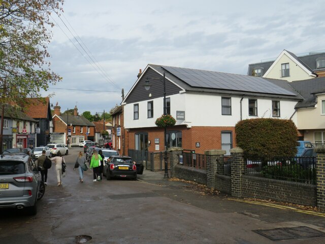
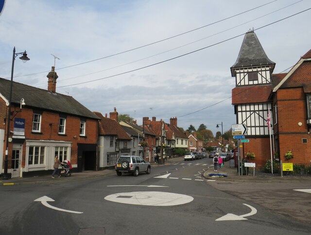
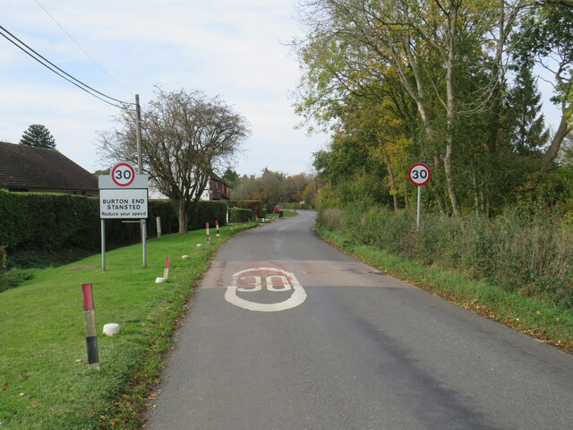
Stansted Mountfitchet is a small town located in the Uttlesford district of Essex, England. Situated around 35 miles northeast of central London, it has a population of approximately 6,000 residents. The town is known for its historical significance and charming rural setting.
One of the main attractions in Stansted Mountfitchet is the medieval Stansted Mountfitchet Castle and Norman Village. This reconstructed castle offers visitors a glimpse into the life of a 12th-century Norman village, complete with thatched-roof houses, shops, and workshops. The castle also features interactive exhibits, including demonstrations of weaponry and displays of archaeological finds.
The town is also home to Mountfitchet Castle Toy Museum, which houses a vast collection of toys dating from the Victorian era to the present day. It provides an interesting and nostalgic experience for both children and adults.
Stansted Mountfitchet has a variety of amenities, including shops, restaurants, and pubs. The town is well-connected to surrounding areas, thanks to its proximity to Stansted Airport, which is just two miles away. This makes it an ideal location for travelers looking to explore the region or catch a flight.
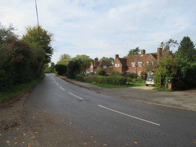
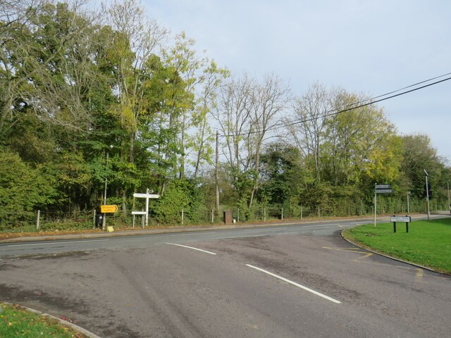
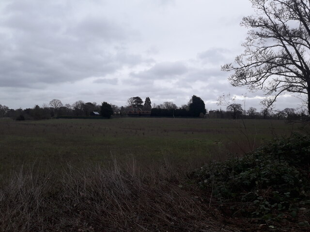
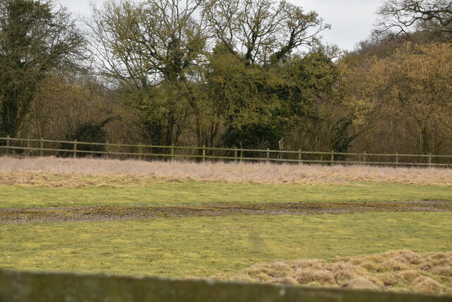
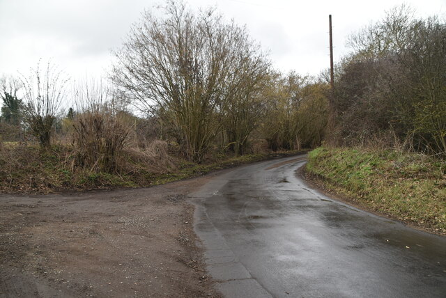
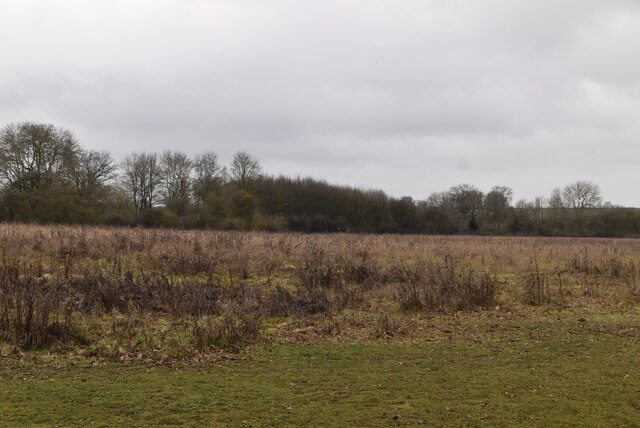
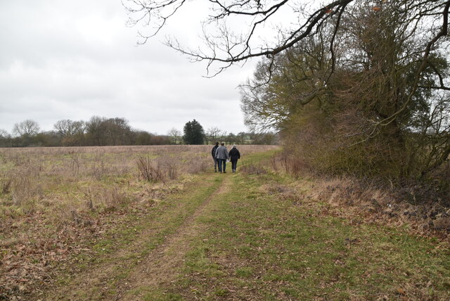
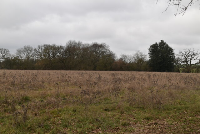
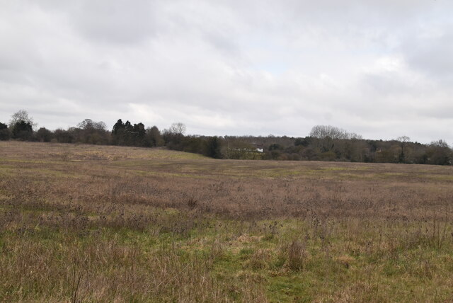
The surrounding countryside offers opportunities for outdoor activities, such as walking, cycling, and birdwatching. The town also benefits from its close proximity to Epping Forest, a large public woodland that is popular for recreational pursuits.
In summary, Stansted Mountfitchet is a picturesque town with a rich history and a range of attractions. Its convenient location and tranquil surroundings make it a popular destination for tourists and a pleasant place to live.
If you have any feedback on the listing, please let us know in the comments section below.
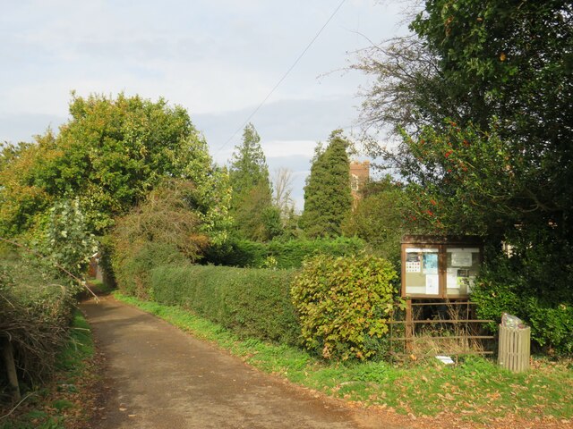
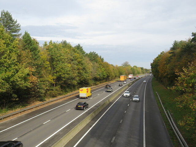
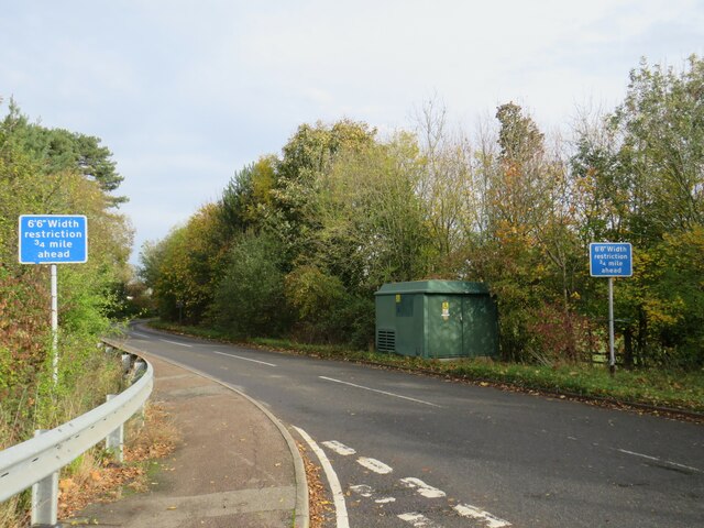
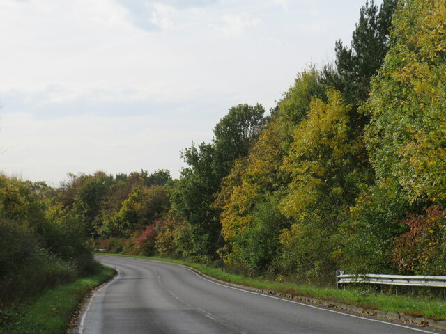
Stansted Mountfitchet Images
Images are sourced within 2km of 51.903586/0.193491 or Grid Reference TL5025. Thanks to Geograph Open Source API. All images are credited.
Stansted Mountfitchet is located at Grid Ref: TL5025 (Lat: 51.903586, Lng: 0.193491)
Administrative County: Essex
District: Uttlesford
Police Authority: Essex
What 3 Words
///random.terminal.deprives. Near Stansted Mountfitchet, Essex
Nearby Locations
Related Wikis

Stansted Mountfitchet Windmill
Stansted Mountfitchet Windmill is a grade II* listed Tower mill at Stansted Mountfitchet, Essex, England which is also a Scheduled Ancient Monument. It...

Stansted F.C.
Stansted Football Club is an English football club based in Stansted Mountfitchet, Essex. The club are currently members of the Spartan South Midlands...

Stansted Mountfitchet Castle
Stansted Mountfitchet Castle, also termed simply Mountfitchet Castle, is a Norman ringwork and bailey fortification in Stansted Mountfitchet, Essex, England...
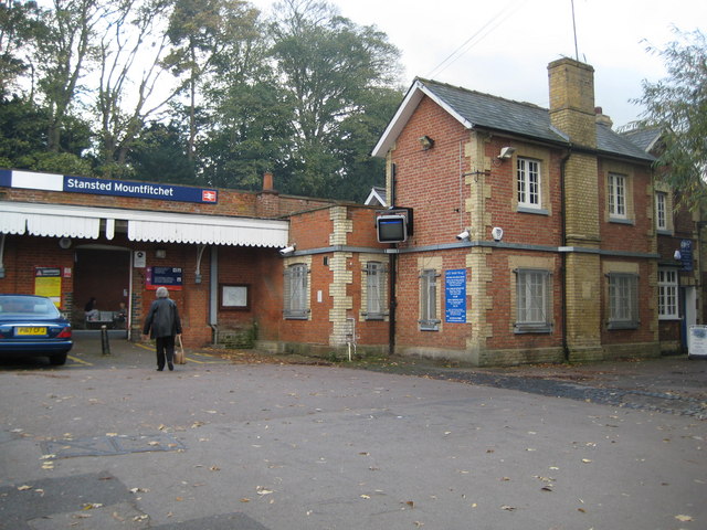
Stansted Mountfitchet railway station
Stansted Mountfitchet railway station is on the West Anglia Main Line serving the village of Stansted Mountfitchet in Essex, England. It is 33 miles 28...

Stansted Mountfitchet
Stansted Mountfitchet is an English village and civil parish in Uttlesford district, Essex, near the Hertfordshire border, 35 miles (56 km) north of London...
Forest Hall School
Forest Hall School is a coeducational secondary school located in Stansted Mountfitchet, Essex, England. In 2016 64% of students gained at least 5 GCSEs...
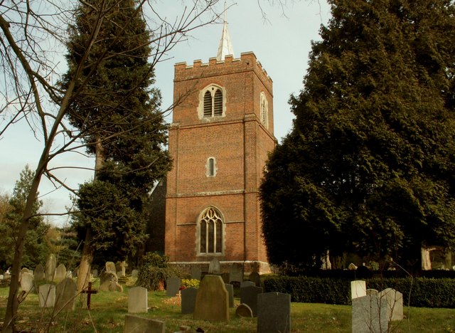
St Mary the Virgin's Church, Stansted Mountfitchet
St Mary the Virgin's Church is a redundant Anglican church near the village of Stansted Mountfitchet, Essex, England. It is recorded in the National Heritage...
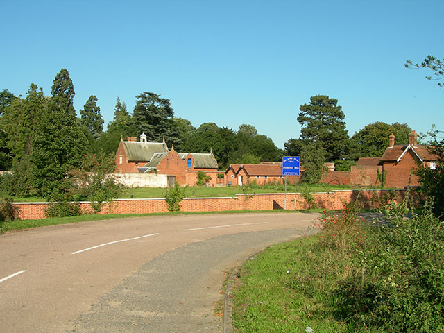
Stansted Hall
Stansted or Steanstead Hall is located in Stansted Mountfitchet, Essex, East of England, United Kingdom. It was the country seat of the Earls of Essex...
Nearby Amenities
Located within 500m of 51.903586,0.193491Have you been to Stansted Mountfitchet?
Leave your review of Stansted Mountfitchet below (or comments, questions and feedback).