Bentfield Green
Settlement in Essex Uttlesford
England
Bentfield Green
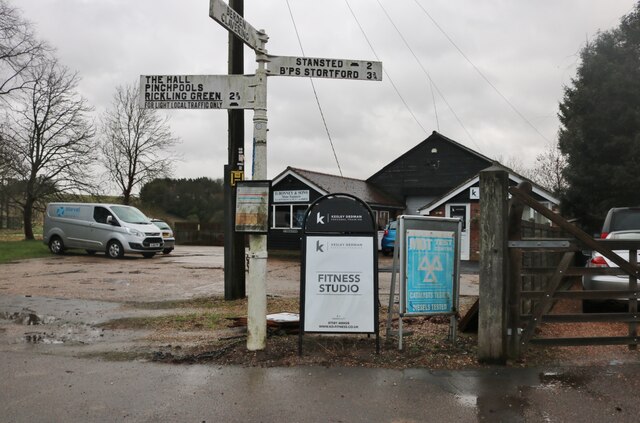
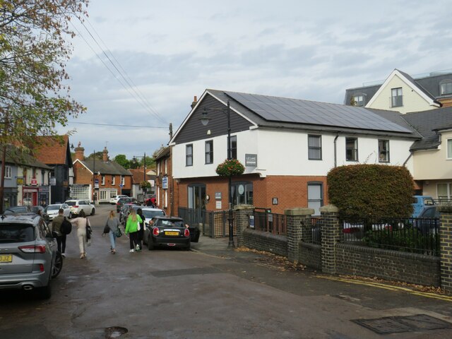
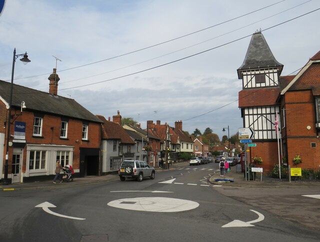
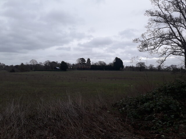
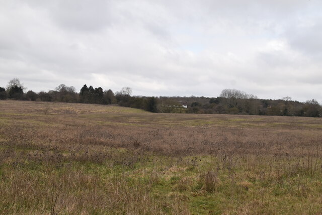
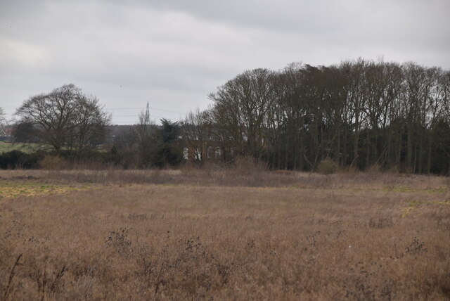
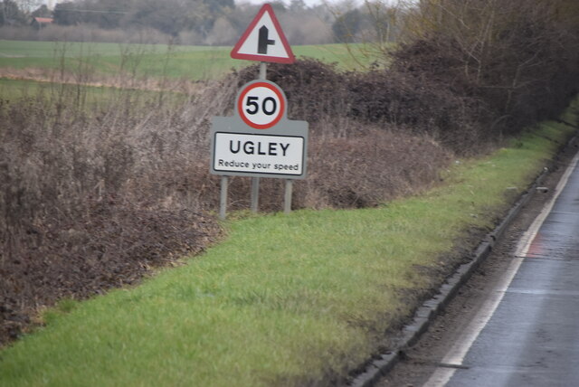
Bentfield Green is a charming village located in the county of Essex, England. Situated just outside the market town of Stansted Mountfitchet, it is surrounded by picturesque countryside and offers a peaceful and idyllic setting for its residents.
The village is known for its quaint and well-preserved character, with many historic buildings dating back to the 17th and 18th centuries. The architecture reflects the traditional English style, featuring timber-framed houses with thatched roofs, giving it a unique and timeless charm.
Bentfield Green is a close-knit community, with a small population that fosters a friendly and welcoming atmosphere. It has a strong sense of community spirit, with regular events and gatherings that bring residents together. The village also has a local pub, serving as a popular meeting place for both locals and visitors.
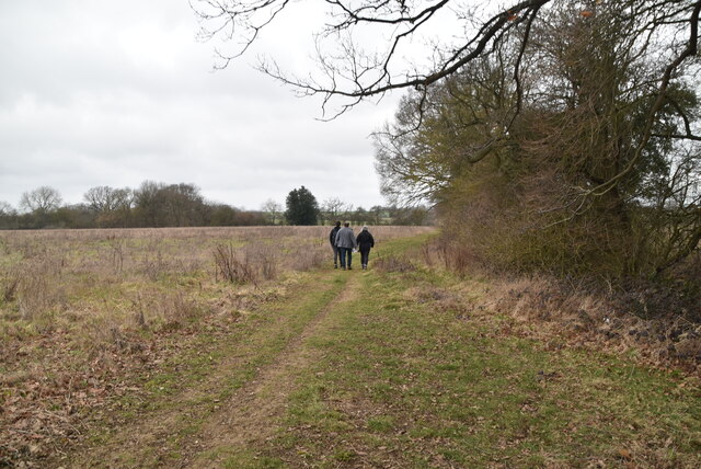
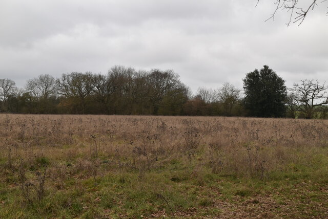
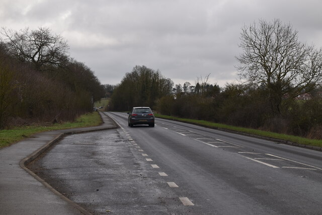
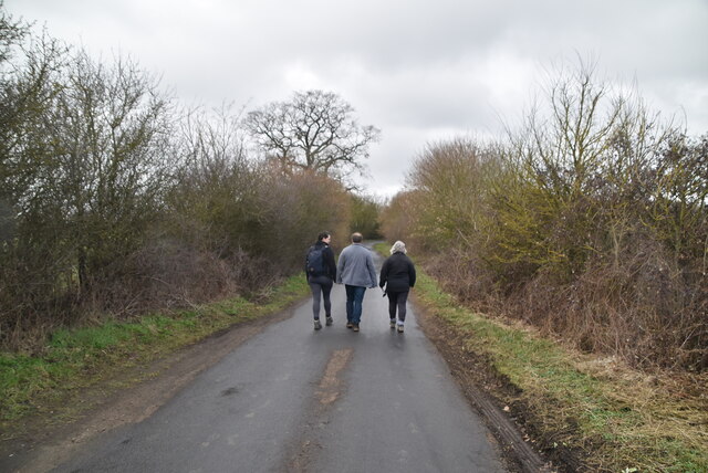
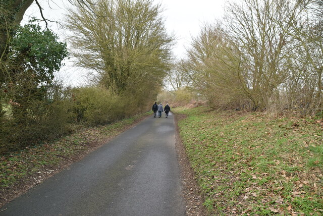
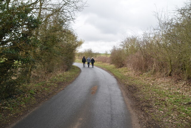
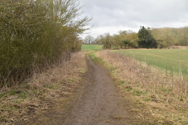
The surrounding countryside provides ample opportunities for outdoor activities, including walking and cycling, with several scenic trails and paths to explore. The village is also conveniently located near Stansted Mountfitchet, where residents have access to a range of amenities such as shops, schools, and recreational facilities.
Transport links are well-developed, with easy access to major roads and the nearby Stansted Airport, making Bentfield Green an attractive location for commuters and frequent travelers.
In summary, Bentfield Green offers a peaceful and picturesque village lifestyle, characterized by its historic architecture, strong community spirit, and proximity to amenities and transport links. It is a place where residents can enjoy the beauty of the English countryside while still having easy access to the conveniences of modern life.
If you have any feedback on the listing, please let us know in the comments section below.
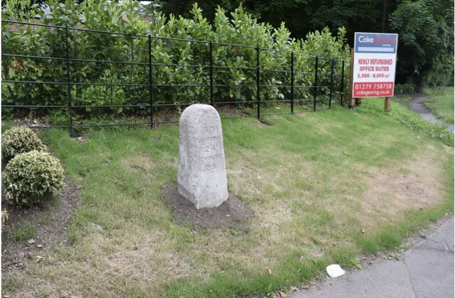
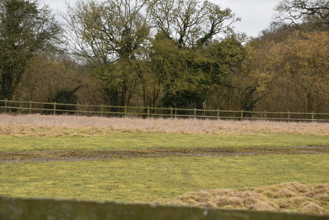
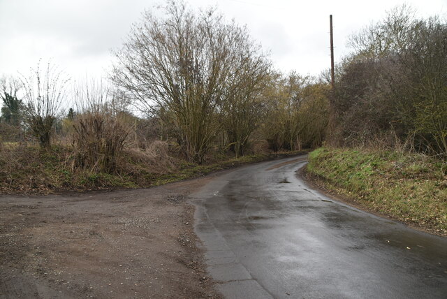
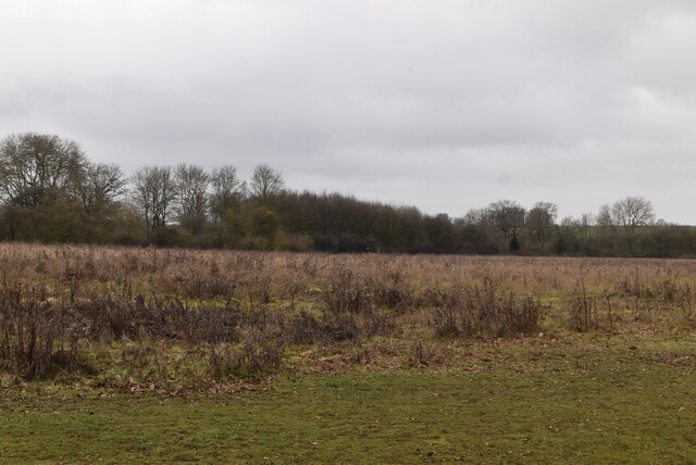
Bentfield Green Images
Images are sourced within 2km of 51.907678/0.185723 or Grid Reference TL5025. Thanks to Geograph Open Source API. All images are credited.
Bentfield Green is located at Grid Ref: TL5025 (Lat: 51.907678, Lng: 0.185723)
Administrative County: Essex
District: Uttlesford
Police Authority: Essex
What 3 Words
///mulled.intersect.gangs. Near Stansted Mountfitchet, Essex
Nearby Locations
Related Wikis

Stansted F.C.
Stansted Football Club is an English football club based in Stansted Mountfitchet, Essex. The club are currently members of the Spartan South Midlands...

Stansted Mountfitchet Windmill
Stansted Mountfitchet Windmill is a grade II* listed Tower mill at Stansted Mountfitchet, Essex, England which is also a Scheduled Ancient Monument. It...

Stansted Mountfitchet Castle
Stansted Mountfitchet Castle, also termed simply Mountfitchet Castle, is a Norman ringwork and bailey fortification in Stansted Mountfitchet, Essex, England...
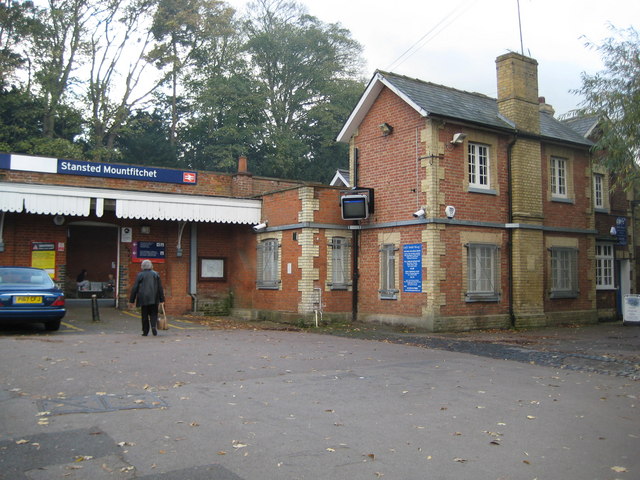
Stansted Mountfitchet railway station
Stansted Mountfitchet railway station is on the West Anglia Main Line serving the village of Stansted Mountfitchet in Essex, England. It is 33 miles 28...

Stansted Mountfitchet
Stansted Mountfitchet is an English village and civil parish in Uttlesford district, Essex, near the Hertfordshire border, 35 miles (56 km) north of London...
Bentfield Green
Bentfield Green is an area of common land and settlement in the village of Stansted Mountfitchet, in the civil parish of Stansted Mountfitchet, in the...

Manuden
Manuden is a village and civil parish in the Uttlesford district of Essex, England. It is located around 3+1⁄2 miles (6 km) north of Bishop's Stortford...

Aubrey Buxton Nature Reserve
Aubrey Buxton Nature Reserve is a 9.7-hectare (24-acre) nature reserve west of Elsenham in Essex. It was donated to the Essex Wildlife Trust by Aubrey...
Nearby Amenities
Located within 500m of 51.907678,0.185723Have you been to Bentfield Green?
Leave your review of Bentfield Green below (or comments, questions and feedback).