Bentgate
Settlement in Lancashire
England
Bentgate

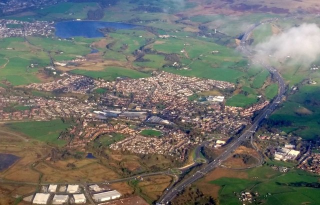
Bentgate is a small village located in the county of Lancashire, England. Situated in the borough of Rossendale, it is nestled within the scenic Pennine Hills, offering breathtaking views of the surrounding countryside. Bentgate is part of the larger town of Haslingden, which lies approximately two miles to the southwest.
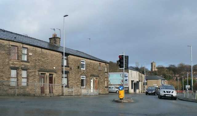
This tranquil village is known for its picturesque charm and peaceful atmosphere. It features a cluster of traditional stone-built cottages, many of which date back several centuries, giving the area a distinct historical character. The village is set against a backdrop of rolling green hills, providing ample opportunities for outdoor activities such as hiking, cycling, and nature walks.
Despite its small size, Bentgate boasts a strong sense of community. The village is home to a local primary school, serving the educational needs of the children in the area. It also has a community center, which acts as a hub for various social gatherings, events, and clubs, fostering a close-knit community spirit.
Although Bentgate itself does not have extensive amenities, residents can easily access a range of services in the nearby town of Haslingden. This larger town offers a variety of shops, supermarkets, restaurants, and recreational facilities, ensuring that residents have everything they need within a short distance.
In conclusion, Bentgate is a charming village in Lancashire, offering a peaceful countryside setting, a strong community spirit, and easy access to nearby amenities.
If you have any feedback on the listing, please let us know in the comments section below.
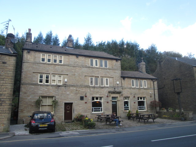
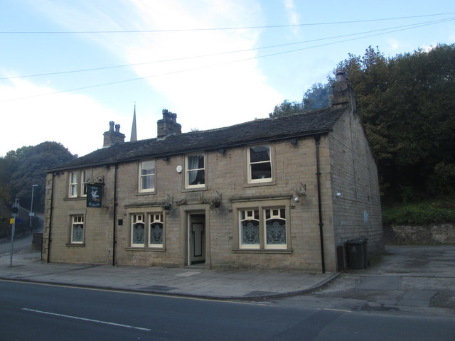
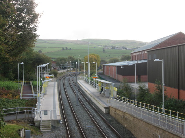
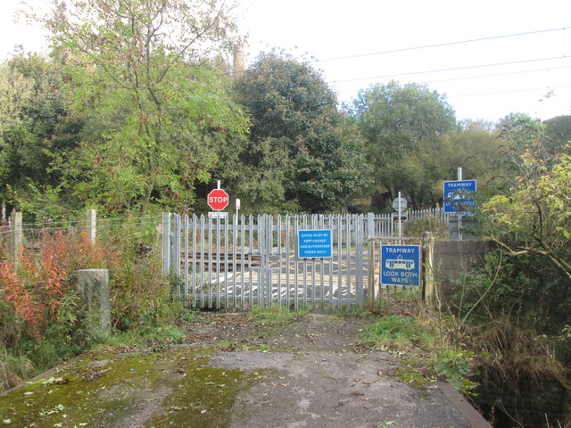
Bentgate Images
Images are sourced within 2km of 53.598257/-2.101101 or Grid Reference SD9311. Thanks to Geograph Open Source API. All images are credited.


Bentgate is located at Grid Ref: SD9311 (Lat: 53.598257, Lng: -2.101101)
Unitary Authority: Rochdale
Police Authority: Greater Manchester
What 3 Words
///drag.mutual.hush. Near Milnrow, Manchester
Nearby Locations
Related Wikis

Royton Urban District
Royton was a local government district from 1863 to 1974 in Lancashire, England, which covered the modern-day town of Royton, and its suburbs and districts...

Oldham East and Saddleworth (UK Parliament constituency)
Oldham East and Saddleworth is a constituency in outer Greater Manchester represented in the House of Commons of the UK Parliament since January 2011 by...

Oldham West and Royton (UK Parliament constituency)
Oldham West and Royton is a constituency represented in the House of Commons of the UK Parliament. It has been represented by Jim McMahon of the Labour...
Newhey
Newhey (archaically New Hey) is a village near the town of Milnrow in the Metropolitan Borough of Rochdale, in Greater Manchester, England. It lies at...

Piethorne Brook
Piethorne Brook is a watercourse in Greater Manchester. It is a tributary of the River Beal. == Sources == Piethorne Brook and its feeder streams originate...

Ellenroad Mill
Ellenroad Mill was a cotton spinning mill in Newhey, a village in the Milnrow area of Rochdale, England. It was built as a mule spinning mill in 1890 by...
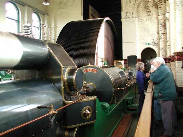
Ellenroad Ring Mill Engine
The Ellenroad Ring Mill Engine is a preserved stationary steam engine in Newhey, Greater Manchester, England. It powered the Ellenroad Ring Mill from 1917...

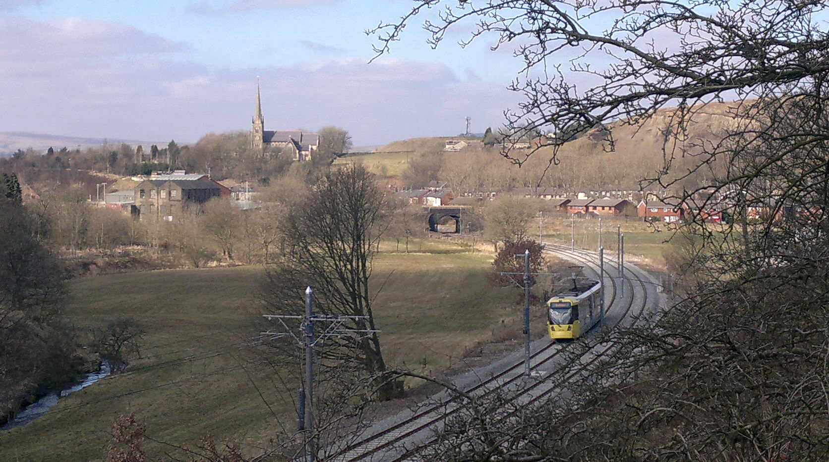
Newhey tram stop
Newhey is a tram stop on the Oldham and Rochdale Line (ORL) of Greater Manchester's light-rail Metrolink system. It opened to passengers on 28 February...
Related Videos

Driving Around Hollingworth Lake Country Park Smithy Bridge Littleborough Greater Manchester UK
Hollingworth Lake is a 130-acre (53 ha) reservoir at Smithy Bridge in Littleborough, Greater Manchester, England. It was originally ...
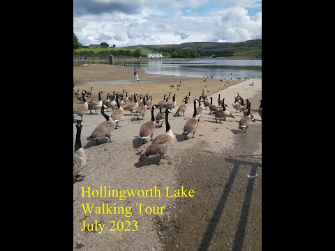
Hollingworth Lake Walking Tour
A walk around Hollingworth Lake, a 130-acre reservoir at Smithy Bridge in Littleborough, Greater Manchester, England. Video by ...

Hollingworth lake walking tour, Manchester street food
Hi all wellcome to my channel . Food is the reason you should travel, and on my channel you'll watch videos about delicious street ...

Hollingworth Lake | South Pennine Water Trail Walk 😀
In this video we go and explore Hollingworth Lake in Littleborough, just 25 minutes outside of Manchester City Center. Taking on ...
Nearby Amenities
Located within 500m of 53.598257,-2.101101Have you been to Bentgate?
Leave your review of Bentgate below (or comments, questions and feedback).