St Johns
Settlement in Kent
England
St Johns

St. Johns is a small village located in the county of Kent, in the southeastern part of England. It is situated on the outskirts of the town of Tunbridge Wells, approximately 30 miles southeast of London. St. Johns is a predominantly residential area with a population of around 4,000 people.
The village has a rich history, dating back to the medieval period when it was known as St. John the Baptist. It was initially an agricultural community, but with the arrival of the railway in the 19th century, St. Johns began to grow and develop. Today, it is a thriving village with a mix of old and new buildings.
One of the notable landmarks in St. Johns is the St. John the Baptist Church, which dates back to the 13th century and is known for its beautiful stained glass windows. The village also has a range of amenities, including a primary school, a few shops, pubs, and restaurants, providing residents with most of their daily needs.
St. Johns is surrounded by picturesque countryside, offering residents and visitors ample opportunities for outdoor activities such as walking and cycling. The village is also conveniently located near several nature reserves and parks, allowing for further exploration of the natural beauty of the area.
Overall, St. Johns is a charming village that offers a peaceful and idyllic setting for residents, while still being within easy reach of the amenities and transport links of Tunbridge Wells.
If you have any feedback on the listing, please let us know in the comments section below.
St Johns Images
Images are sourced within 2km of 51.471364/-0.02307 or Grid Reference TQ3776. Thanks to Geograph Open Source API. All images are credited.


St Johns is located at Grid Ref: TQ3776 (Lat: 51.471364, Lng: -0.02307)
Unitary Authority: Lewisham
Police Authority: Metropolitan
What 3 Words
///branch.visit.saves. Near Blackheath, London
Related Wikis
Brookmill Park
Brookmill Park, formerly known as Ravensbourne Park, is a small public park and nature reserve located in Deptford and is in the London Borough of Lewisham...

St Johns, London
St Johns is a district around the station of the same name in south-east London. It lies within the Borough of Lewisham and borders the Royal Borough of...

St Johns railway station
St Johns railway station is in the London Borough of Lewisham. It lies 5 miles 47 chains (9.0 km) down the South Eastern Main Line from London Charing...

1898 St Johns rail accident
The St Johns train crash happened at 9 am on 21 March 1898 when, in thick fog, a passenger train waiting to enter St Johns Station on the South Eastern...
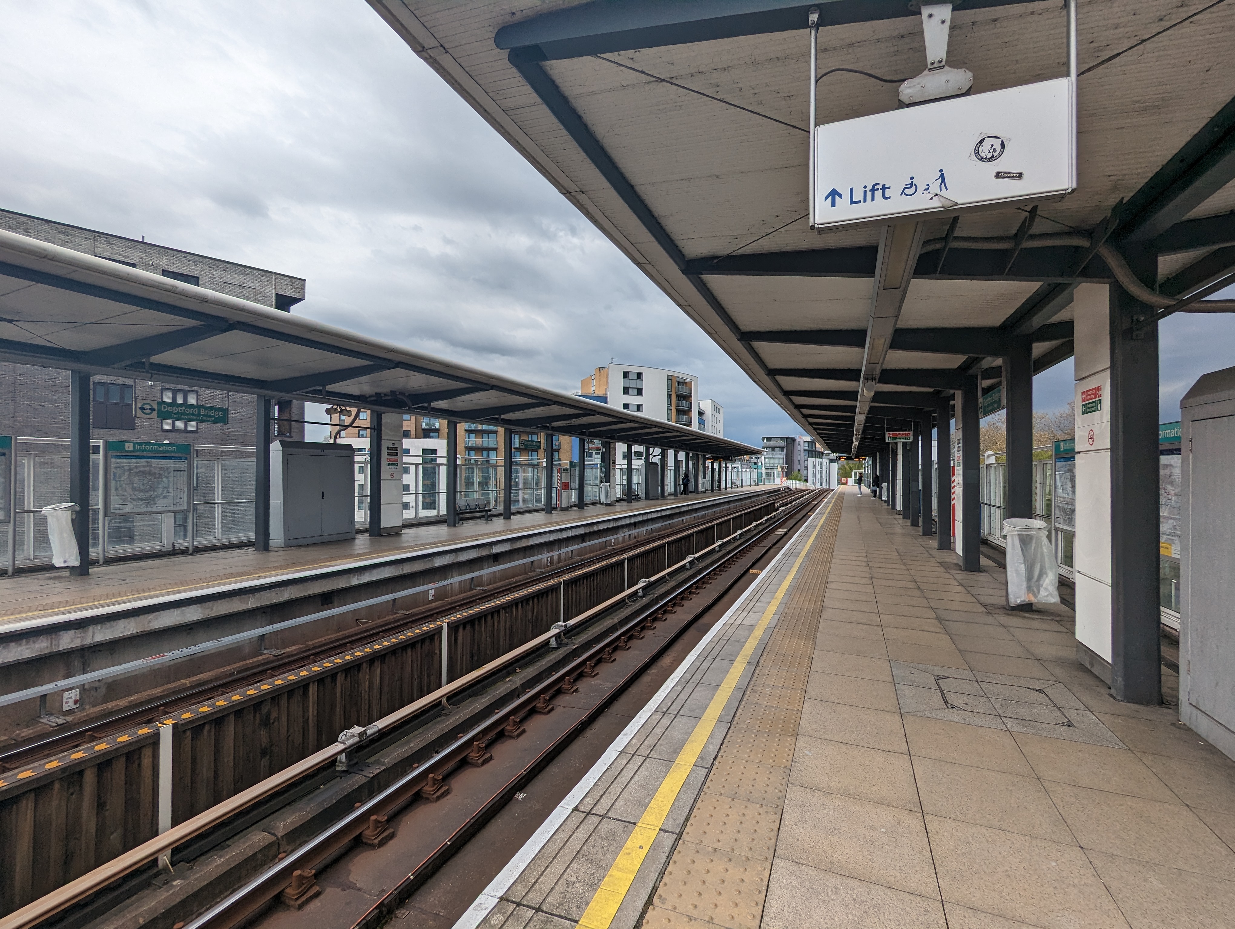
Deptford Bridge DLR station
Deptford Bridge is a Docklands Light Railway (DLR) station in Deptford, London in England. The station is elevated above both local roads and Deptford...

Stone House, Deptford
Stone House is one of the oldest and most distinctive buildings in the London Borough of Lewisham. It was built between 1771 and 1773 by George Gibson...
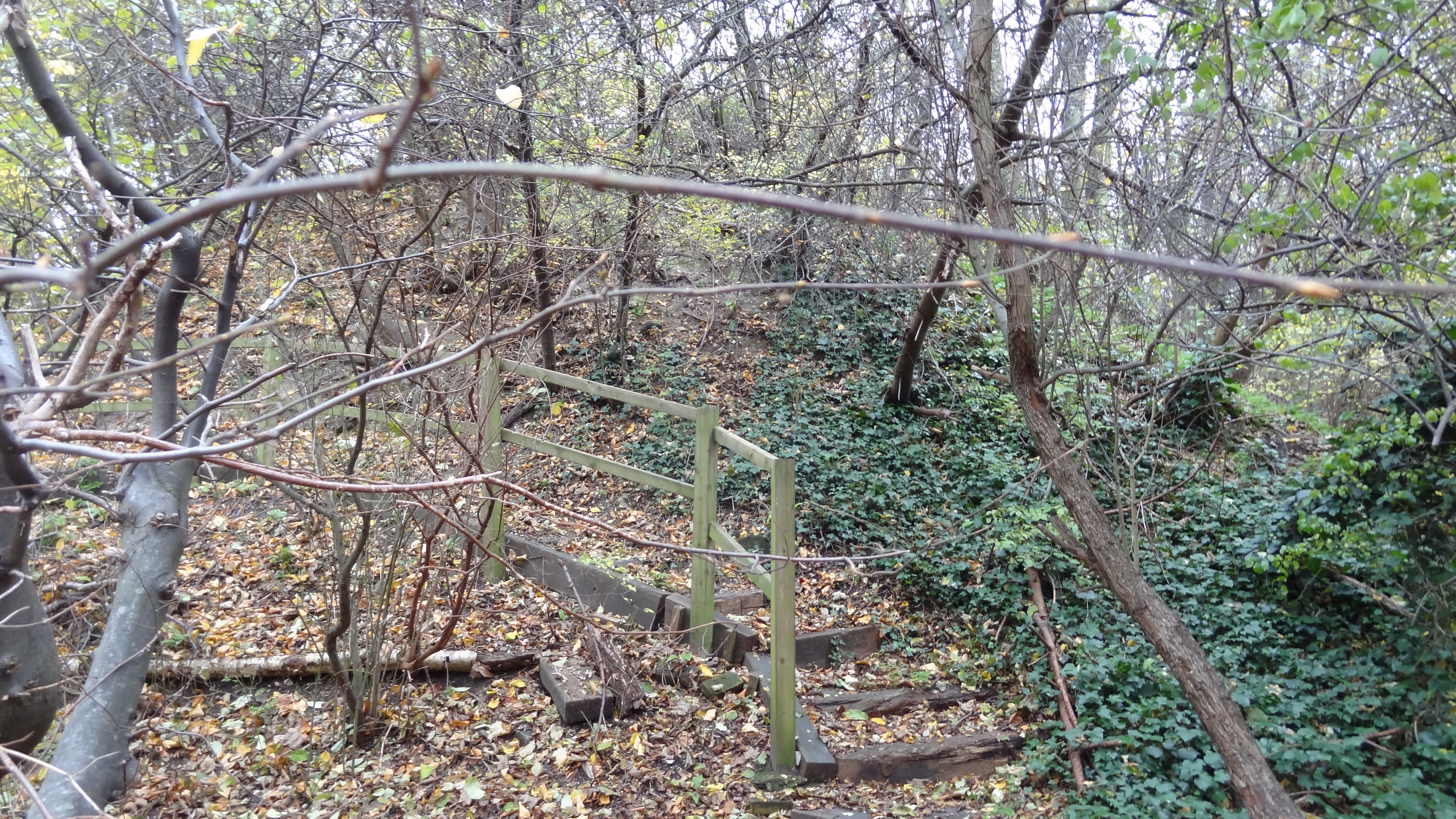
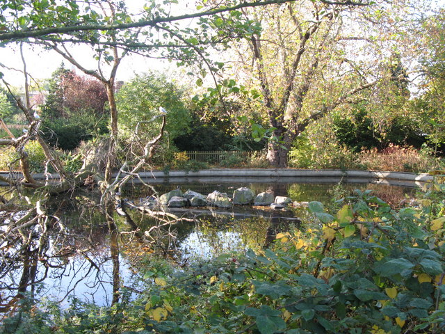
Brookmill Road Local Nature Reserve
Brookmill Road Local Nature Reserve is a small nature reserve in St Johns in the London Borough of Lewisham. It has been designated as a local nature reserve...
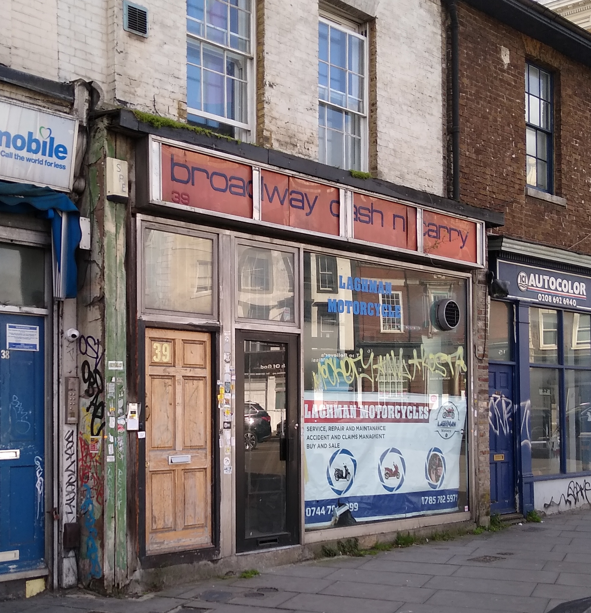
Deptford Cinema
Deptford Cinema is a volunteer run, not-for-profit, community cinema, art gallery, and occasional music venue, formerly located at 39 Deptford Broadway...
Related Videos

EARLY SPRING WALKING AROUND GREENWICH PARK LONDON
Hi peeps! We are officialy on the spring season now, lucky we've got a week full of sun in London, it was so lovely. People were ...

Nunhead, Honor Oak, and Peckham Rye | Easy Walk | Drone 4k View | 🇬🇧 Hiking in uk for beginners
Nunhead's Victorian Cemetery, assorted green spaces, One Tree Hill with its viewpoint, Peckham Rye Park and Common, and its ...
![Summer London Walk in Greenwich Park 🇬🇧 | Virtual Walking Tour [ 4K HD]](https://i.ytimg.com/vi/RPnL7SsSQjk/hqdefault.jpg)
Summer London Walk in Greenwich Park 🇬🇧 | Virtual Walking Tour [ 4K HD]
Welcome to Serene Strolls - Your Gateway to Peaceful Adventures! Serene Strolls takes you on a journey of tranquillity and ...
Nearby Amenities
Located within 500m of 51.471364,-0.02307Have you been to St Johns?
Leave your review of St Johns below (or comments, questions and feedback).