Bluntington

Settlement in Worcestershire Wyre Forest

England

Bluntington

Robin Hood, Drayton, Belbroughton Freehouse -log fires - good range of beers
Robin Hood, Drayton, Belbroughton Credit: al partington

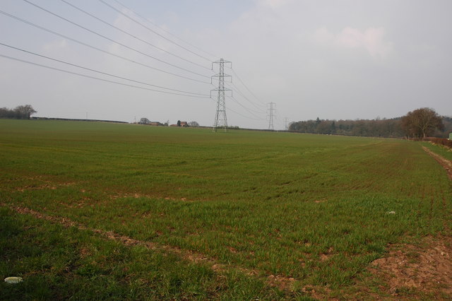
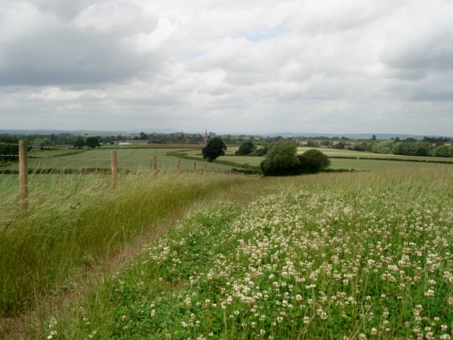
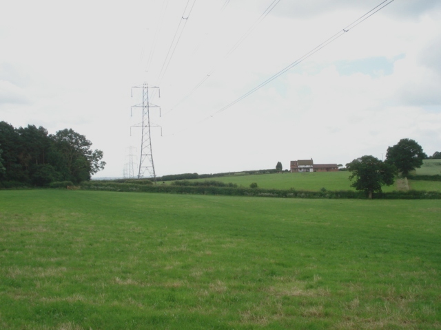
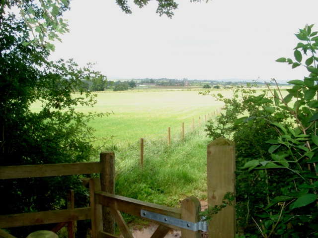
Bluntington is a charming village located in the county of Worcestershire, England. Situated just a few miles northwest of Kidderminster, this rural settlement offers a peaceful and idyllic retreat from the hustle and bustle of city life. Bluntington is nestled amidst picturesque countryside, characterized by rolling hills, lush green fields, and meandering streams.

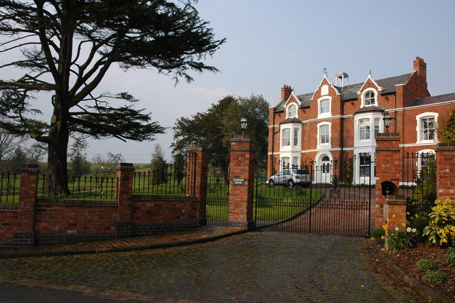
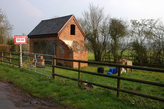
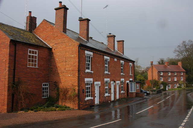
The village itself is small, with a population of approximately 300 residents. Its quaint and traditional architecture adds to the village's charm, with many buildings dating back to the 17th and 18th centuries. Bluntington is known for its well-preserved historic cottages, which provide a glimpse into the village's rich heritage.

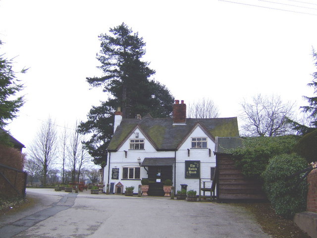
Despite its small size, Bluntington boasts a strong sense of community, with various community events and gatherings held throughout the year. The village pub, The Bluntington Arms, serves as a social hub where locals and visitors can enjoy a pint of locally brewed ale and engage in friendly conversation.

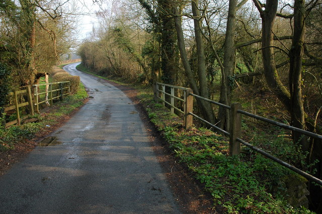
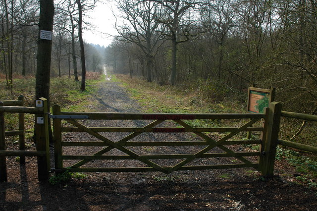
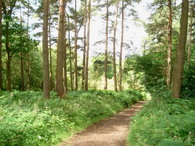
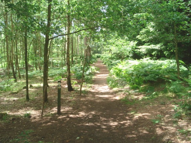
Nature enthusiasts will find plenty to explore in Bluntington and its surrounding areas. The village is surrounded by stunning countryside, perfect for leisurely walks and picnics. Additionally, the nearby Clent Hills offer breathtaking panoramic views and a variety of hiking trails.

Bluntington's proximity to larger towns and cities such as Kidderminster and Birmingham provides residents with easy access to a range of amenities and cultural attractions. The village's peaceful atmosphere and natural beauty make it an ideal place for those seeking a tranquil retreat while still remaining close to urban conveniences.

If you have any feedback on the listing, please let us know in the comments section below.
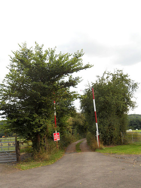
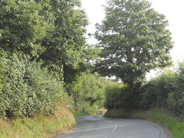
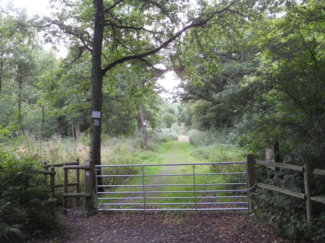
Bluntington Images

Images are sourced within 2km of 52.368961/-2.15022 or Grid Reference SO8974. Thanks to Geograph Open Source API. All images are credited.

Robin Hood, Drayton, Belbroughton Freehouse -log fires - good range of beers
Robin Hood, Drayton, Belbroughton
Freehouse -log fires - good range of beers
Entrance to Drayton House
Drayton Terrace, Drayton
Tanwood House near Chaddesley Corbett
Bridge over Hockley Brook
Chaddesley Wood Chaddesley Wood is a National Nature Reserve.
Chaddesley Wood
Chaddesley Wood is a National Nature Reserve.
Pylons and farmland near Woodcote Green
'Property with potential....' at Tanwood
Clover field near Chaddesley Wood The path from the wood leads to Chaddesley Corbett village in the distance. The church spire is just visible.
Clover field near Chaddesley Wood
The path from the wood leads to Chaddesley Corbett village in the distance. The church spire is just visible.
Chaddesley Wood Farm With Chaddesley Wood to the left.
Chaddesley Wood Farm
With Chaddesley Wood to the left.
View from the edge of Chaddesley Wood
Chaddesley Wood This wood is managed by Natural England (ex English Nature) and it is a designated National Nature Reserve. It was once part of the Royal Hunting Forest of Feckenham and there are many interesting walks.
<span class="nowrap"><a title="http://worcestershire.whub.org.uk/cms/environment-and-planning/countryside/waymarked-walks/off-site-circular-trails/royal-hunters-walks.aspx" rel="nofollow ugc noopener" href="http://worcestershire.whub.org.uk/cms/environment-and-planning/countryside/waymarked-walks/off-site-circular-trails/royal-hunters-walks.aspx">Link</a><img style="margin-left:2px;" alt="External link" title="External link - shift click to open in new window" src="https://s1.geograph.org.uk/img/external.png" width="10" height="10"/></span>
Chaddesley Wood
This wood is managed by Natural England (ex English Nature) and it is a designated National Nature Reserve. It was once part of the Royal Hunting Forest of Feckenham and there are many interesting walks. LinkExternal link
Path junction in Chaddesley Wood
The edge of Chaddesley Wood View to the south west across grassland.
The edge of Chaddesley Wood
View to the south west across grassland.
Access is limited
Access is limited
Down the hill to Drayton
Entering Drayton from the north
An entrance to Chaddesley Wood
Show me another place!

Bluntington is located at Grid Ref: SO8974 (Lat: 52.368961, Lng: -2.15022)

Administrative County: Worcestershire

District: Wyre Forest

Police Authority: West Mercia

What 3 Words

///throat.headless.saucepan. Near Belbroughton, Worcestershire

Related Wikis

Tanwood

Tanwood is a hamlet in the English county of Worcestershire. It lies about one mile northeast of the village of Chaddesley Corbett and forms part of the...

Chaddesley Corbett

Chaddesley Corbett is a village and civil parish in the Wyre Forest District of Worcestershire, England. The Anglican and secular versions of the parish...

Drayton, Worcestershire

Drayton is a hamlet in Worcestershire, England which remains part of the ecclesiastical parish of Chaddesley Corbett, which from its select vestry formed...

Chaddesley Woods National Nature Reserve

Chaddesley Woods National Nature Reserve is situated near the village of Chaddesley Corbett, in Worcestershire, England. It is a reserve of the Worcestershire...

Harvington Hall

Harvington Hall is a moated medieval and Elizabethan manor house in the hamlet of Harvington in the civil parish of Chaddesley Corbett, southeast of Kidderminster...

Belbroughton

Belbroughton ( bel-BRAW-tən) is a village and civil parish in the Bromsgrove District of Worcestershire, England. According to the 2021 census it had...

Hackmans Gate

Hackmans Gate is a hamlet in the parish of Broome, and the district of Wyre Forest District of Worcestershire, England.

Rosedene

Rosedene is a cottage built as part of the Great Dodford Chartist settlement. It is the best preserved example of a Chartist cottage built by the National...

Nearby Amenities

Located within 500m of 52.368961,-2.15022
Bus Stop
Woodrow Lane
Bus: yes
Naptan AtcoCode: 2000G018600
Naptan Bearing: NW
Naptan BusStopType: CUS
Naptan CommonName: Woodrow Lane
Naptan Crossing: Drayton Road
Naptan Indicator: Crossroads
Naptan Landmark: Bluntington Cottage
Naptan NaptanCode: wocdjmja
Naptan PlusbusZoneRef: KDRMNST
Naptan Street: Woodrow Lane
Naptan Verified: no
Public Transport: platform
Source: naptan_import
Lat/Long: 52.3682047/-2.1535853
Note: FIXME - power line continues; survey required
Power Historic: tower
Source: OS 1:25k
Lat/Long: 52.3699133/-2.1444964
Bluntington
Is In: Worcestershire, UK
Place: village
Lat/Long: 52.3681612/-2.1516802
Power: tower
Source: Bing
Lat/Long: 52.3721856/-2.1531401
Power: tower
Source: Bing
Lat/Long: 52.3705456/-2.1504419
Power: tower
Source: Bing
Lat/Long: 52.3688761/-2.147651
Post Box
Operator: Royal Mail
Operator Wikidata: Q638098
Post Box Type: wall
Ref: DY10 31
Royal Cypher: EIIR
Royal Cypher Wikidata: Q33102113
Lat/Long: 52.3677502/-2.1526498
The data included in this document is from www.openstreetmap.org. The data is made available under ODbL.

Have you been to Bluntington?

Leave your review of Bluntington below (or comments, questions and feedback).