Blunsdon St Andrew
Settlement in Wiltshire
England
Blunsdon St Andrew
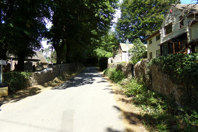
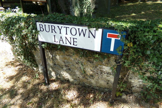
Blunsdon St Andrew is a small village located in the county of Wiltshire, England. Situated approximately 4 miles northeast of Swindon, it is nestled amidst the picturesque countryside and offers a tranquil environment for its residents. The village is part of the Borough of Swindon and falls within the South West region of England.
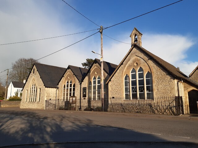
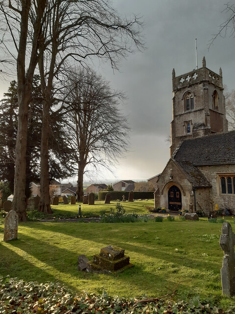
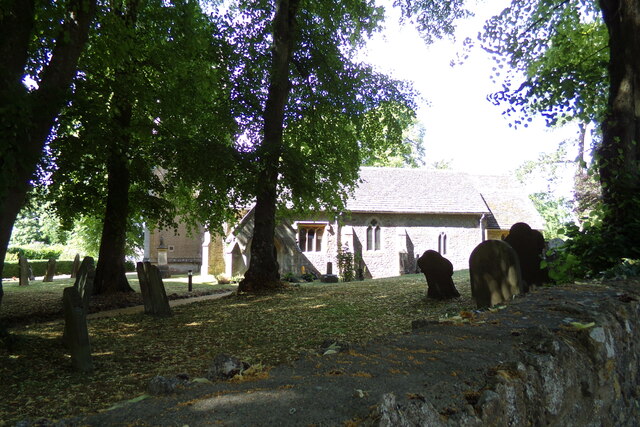
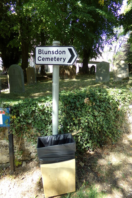
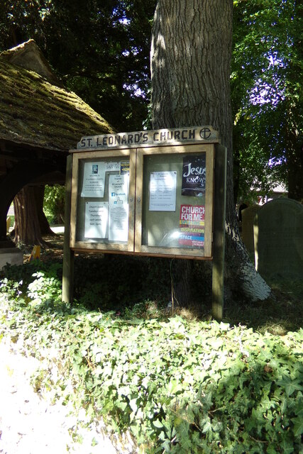
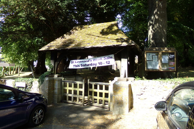
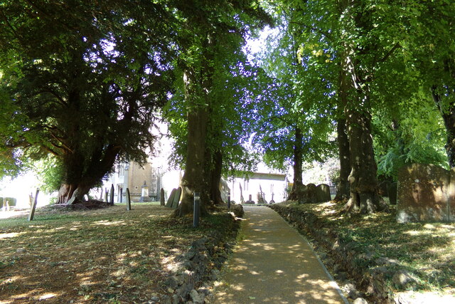
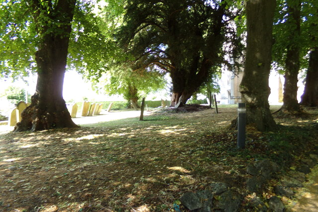
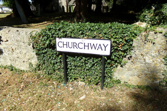
Blunsdon St Andrew is known for its rich history, dating back to medieval times. The village is home to St Andrew's Church, a beautiful Grade I listed building that stands as a testament to its historical significance. The church features stunning architecture and is a popular attraction for visitors.
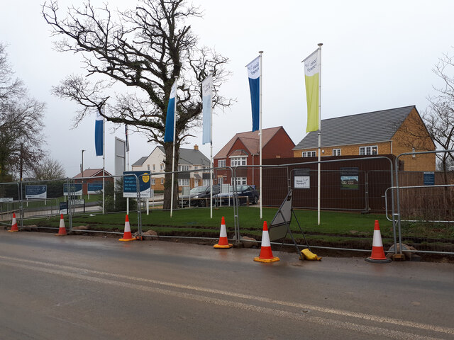
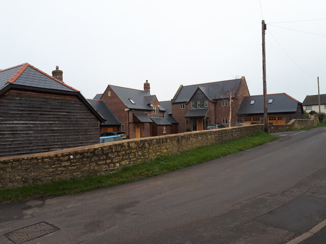
The village has a close-knit community and offers a range of amenities for its residents. It has a primary school, which provides education for local children, and a village hall that serves as a hub for community events and gatherings. Blunsdon St Andrew also has a few local shops and pubs, providing essential services and a place for residents to socialize.
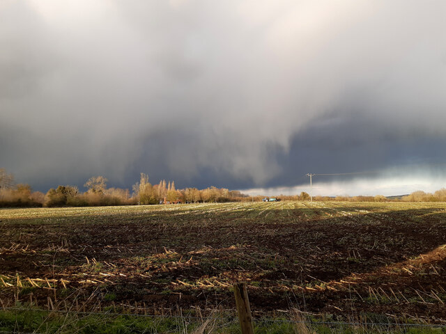
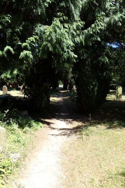
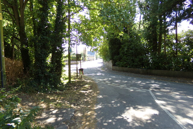
The surrounding countryside offers plenty of opportunities for outdoor activities and exploration. The village is surrounded by open fields, woodlands, and nature reserves, making it an ideal location for nature enthusiasts and walkers. Blunsdon St Andrew is also conveniently located near the Cotswolds, an Area of Outstanding Natural Beauty, which attracts tourists from far and wide.
Overall, Blunsdon St Andrew is a charming village with a rich history, a strong sense of community, and beautiful natural surroundings, making it an attractive place to live or visit in Wiltshire.
If you have any feedback on the listing, please let us know in the comments section below.
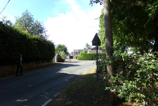
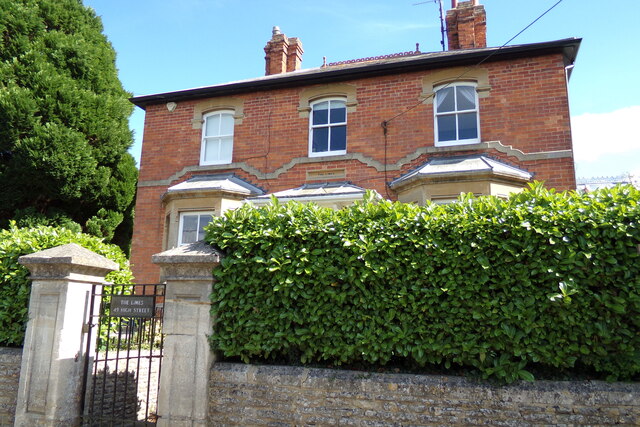
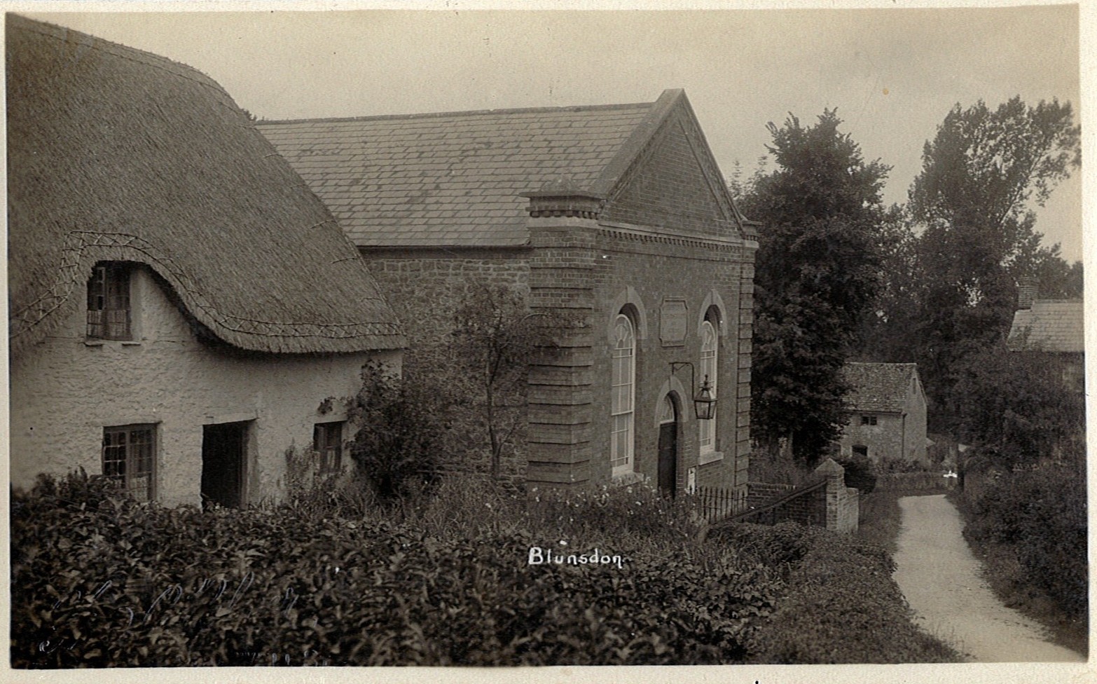
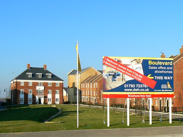
Blunsdon St Andrew Images
Images are sourced within 2km of 51.606639/-1.7989632 or Grid Reference SU1489. Thanks to Geograph Open Source API. All images are credited.
Blunsdon St Andrew is located at Grid Ref: SU1489 (Lat: 51.606639, Lng: -1.7989632)
Unitary Authority: Swindon
Police Authority: Wiltshire
What 3 Words
///competing.rigid.casually. Near Broad Blunsdon, Wiltshire
Nearby Locations
Related Wikis

Swindon Stadium
Swindon Stadium, also known as the Abbey Stadium, is a Greyhound Board of Great Britain regulated greyhound racing track and former speedway track in Blunsdon...
Blunsdon
Blunsdon is a civil parish in the Borough of Swindon, in Wiltshire, England, about 4 miles (6 km) north of the centre of Swindon, with the A419 forming...
Priory Vale
Priory Vale is a community in the north of the town of Swindon, Wiltshire, England, which comprises the urban villages of Redhouse, Oakhurst and Haydon...

Abbey Park School
Abbey Park School is a mixed secondary school in North Swindon, Wiltshire, England.The school was called Isambard School when it was established in 2007...

Haydon Wick
The civil parish of Haydon Wick is a northern suburb of the town of Swindon, Wiltshire, in England. It had a population of 25,036 at the 2021 census. The...
Nova Hreod Academy
Nova Hreod Academy (formerly Hreod Burna Senior High School, Hreod Parkway School and Nova Hreod College) is a mixed secondary school with academy status...
Haydon Meadow
Haydon Meadow (grid reference SU120890) known locally as Clifford Meadow is a 6.39 hectare biological Site of Special Scientific Interest in Wiltshire...
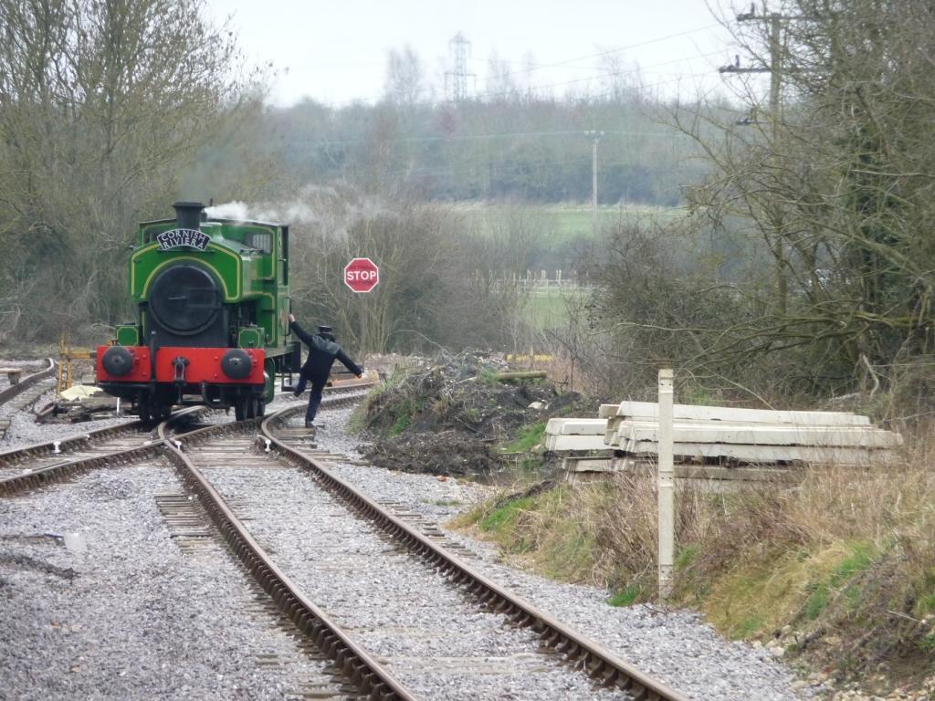
Taw Valley Halt railway station
Taw Valley Halt railway station is the current (and temporary) southern terminus of the Swindon and Cricklade Railway, a heritage railway line in Wiltshire...
Related Videos

ASDA - Walking In The legendary largest supermarket in Europe│ASMR│Ambient
This video show you Grocery store (supermarket) ambient noises in Asda Swindon Haydon Supercentre, such as sound of trolley ...

Riding the Swindon and Cricklade railway
Built, run and managed by volunteers, the Swindon and Cricklade railway is a reconstruction of a standard gauge railway, that ...

Swindon's Lost Locks
Swindon's Lost Locks | North Wilts Canal | Wilts and Berks A look at the Moredon and Mouldon Locks on the old North Wilts canal ...
Nearby Amenities
Located within 500m of 51.606639,-1.7989632Have you been to Blunsdon St Andrew?
Leave your review of Blunsdon St Andrew below (or comments, questions and feedback).