Abbey Meads

Settlement in Wiltshire

England

Abbey Meads

Hayfield Wood Hayfield Wood housing estate in the process of construction.
Hayfield Wood Credit: Vieve Forward

Abbey Meads is a suburban housing development located in the North Swindon area of Wiltshire, England. Situated approximately four miles north of Swindon town center, Abbey Meads has become a popular residential area known for its modern housing, amenities, and convenient location.

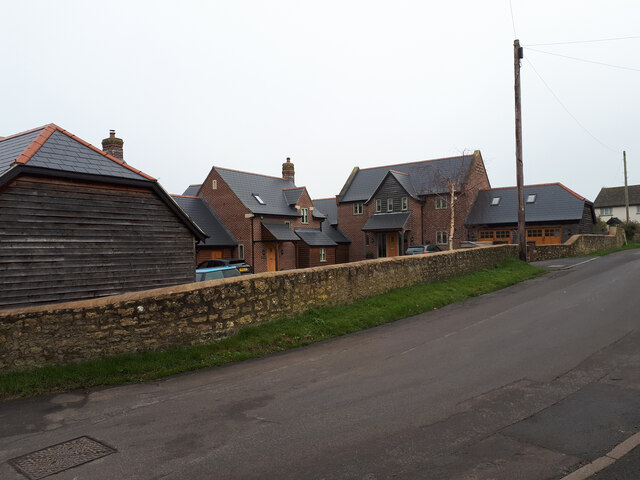
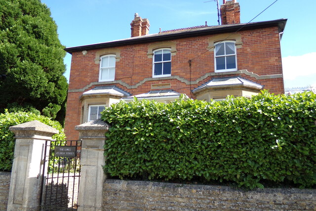
The development was established in the late 1990s and has since grown to become one of the largest housing estates in the Swindon area. It is predominantly made up of detached and semi-detached houses, offering a mix of styles and sizes to suit various needs and budgets. The properties are well-maintained, and many feature gardens and parking spaces.

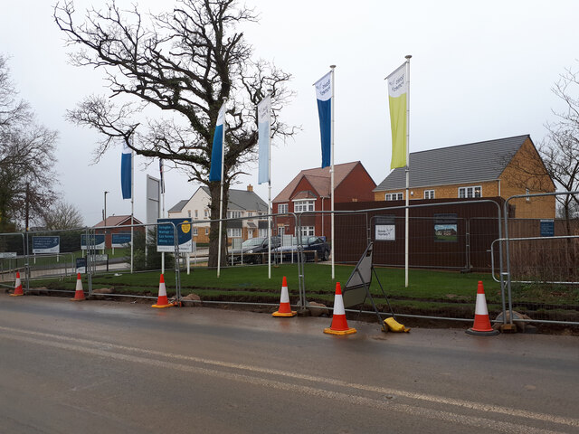
Abbey Meads benefits from its proximity to several amenities, including a local shopping center that provides residents with easy access to a supermarket, pharmacy, post office, and a range of other shops and services. Additionally, there are several schools located within the area, making it a popular choice for families.

For outdoor enthusiasts, Abbey Meads offers ample green spaces and recreational facilities, including parks, play areas, and sports fields. The area is well-connected with a network of footpaths and cycle routes, providing opportunities for active lifestyles.

Transport links in Abbey Meads are excellent, with regular bus services connecting the area to Swindon town center and surrounding areas. The A419 road is easily accessible, providing convenient access to the M4 motorway for those commuting further afield.

Overall, Abbey Meads is a thriving suburban community that offers a range of amenities, well-maintained housing, and excellent transport links, making it an attractive place to live in Wiltshire.

If you have any feedback on the listing, please let us know in the comments section below.
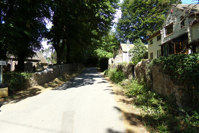
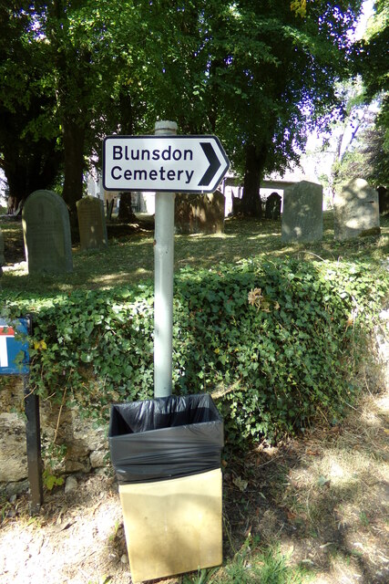
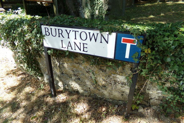
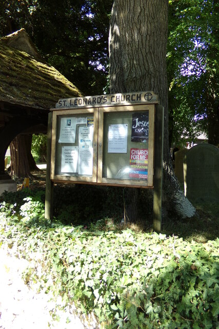
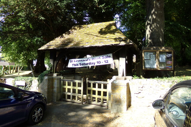
Abbey Meads Images

Images are sourced within 2km of 51.600844/-1.7964188 or Grid Reference SU1489. Thanks to Geograph Open Source API. All images are credited.

Hayfield Wood Hayfield Wood housing estate in the process of construction.
Hayfield Wood
Hayfield Wood housing estate in the process of construction.
King's Barn, Churchway
Blunsdon Village Hall Former school in the village.
Blunsdon Village Hall
Former school in the village.
Evening sun and rain clouds over St. Leonard's churchyard
St. Leonard's Church, Blunsdon Off Churchway at the junction with Burytown Lane
St. Leonard's Church, Blunsdon
Off Churchway at the junction with Burytown Lane
St. Leonard's Church Path Off Churchway at the junction with Burytown Lane
St. Leonard's Church Path
Off Churchway at the junction with Burytown Lane
High Street, Blunsdon At the junction with Churchway, Burytown Lane & Sams Lane near St. Leonard's Church
High Street, Blunsdon
At the junction with Churchway, Burytown Lane & Sams Lane near St. Leonard's Church
Burytown Lane, Blunsdon At the junction with Churchway & High Street near St. Leonard's Church & Church Cottage
Burytown Lane, Blunsdon
At the junction with Churchway & High Street near St. Leonard's Church & Church Cottage
Roadsign on Burygate Lane At the junction with Churchway near St. Leonard's Church & Church Cottage
Roadsign on Burygate Lane
At the junction with Churchway near St. Leonard's Church & Church Cottage
Burytown Lane sign On Burygate Lane at the junction with Churchway & High Street near St. Leonard's Church & Church Cottage
Burytown Lane sign
On Burygate Lane at the junction with Churchway & High Street near St. Leonard's Church & Church Cottage
St. Leonard's Church Notice Board On Burygate Lane at the junction with Churchway & High Street near St. Leonard's Church & Church Cottage
St. Leonard's Church Notice Board
On Burygate Lane at the junction with Churchway & High Street near St. Leonard's Church & Church Cottage
Lych Gate of St. Leonard's Church On Burygate Lane at the junction with Churchway & High Street near St. Leonard's Church & Church Cottage
Lych Gate of St. Leonard's Church
On Burygate Lane at the junction with Churchway & High Street near St. Leonard's Church & Church Cottage
St. Leonard's Church, Blunsdon Off Churchway at the junction with Burytown Lane
St. Leonard's Church, Blunsdon
Off Churchway at the junction with Burytown Lane
Churchyard at St. Leonard's Church Off Churchway at the junction with Burytown Lane
Churchyard at St. Leonard's Church
Off Churchway at the junction with Burytown Lane
Churchway sign On Churchway at the junction with Burytown Lane near St. Leonard' Church
Churchway sign
On Churchway at the junction with Burytown Lane near St. Leonard' Church
Churchway, Blunsdon Looking towards Manor Close at the junction with Burytown Lane near St. Leonard's Church.
Churchway, Blunsdon
Looking towards Manor Close at the junction with Burytown Lane near St. Leonard's Church.
The Limes, Blunsdon On High Street
The Limes, Blunsdon
On High Street
The Limes sign On High Street
The Limes sign
On High Street
Show me another place!

Abbey Meads is located at Grid Ref: SU1489 (Lat: 51.600844, Lng: -1.7964188)

Unitary Authority: Swindon

Police Authority: Wiltshire

What 3 Words

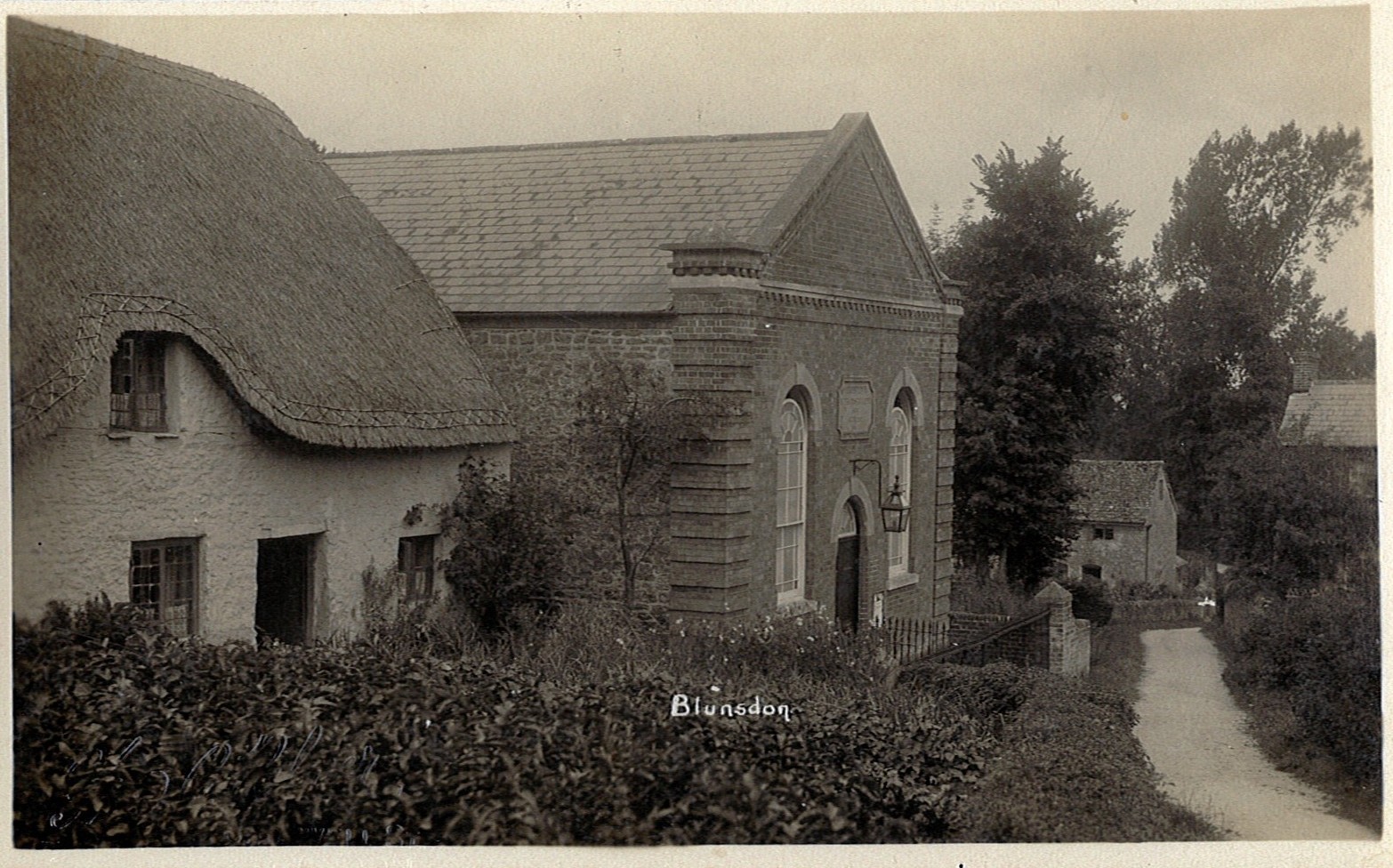
///chosen.cried.allowable. Near Broad Blunsdon, Wiltshire

Related Wikis

Nearby Amenities

Located within 500m of 51.600844,-1.7964188
Crossing
Crossing: traffic_signals
Lat/Long: 51.6007518/-1.7963491
Mini Roundabout
Direction: clockwise
Lat/Long: 51.5984164/-1.7968656
Mini Roundabout
Direction: clockwise
Lat/Long: 51.5974222/-1.7938131
Mini Roundabout
Direction: clockwise
Lat/Long: 51.5974983/-1.7927237
Traffic Signals
Lat/Long: 51.6013252/-1.7894964
Barrier: bollard
Bicycle: yes
Foot: yes
Lat/Long: 51.6033559/-1.8024292
Mini Roundabout
Direction: clockwise
Lat/Long: 51.6028465/-1.8006083
Traffic Calming: table
Lat/Long: 51.6023945/-1.8007188
Traffic Calming: table
Lat/Long: 51.6017341/-1.8005802
Mini Roundabout
Direction: clockwise
Lat/Long: 51.6011284/-1.8008639
Traffic Calming: choker
Lat/Long: 51.6025257/-1.7930036
Traffic Calming: hump
Lat/Long: 51.6021899/-1.7932407
Traffic Calming: table
Lat/Long: 51.604504/-1.7957022
Traffic Calming: choker
Lat/Long: 51.6044059/-1.7964125
Mini Roundabout
Direction: clockwise
Lat/Long: 51.6040508/-1.7944919
Direction: clockwise
Surface: sett
Traffic Calming: island
Lat/Long: 51.6033712/-1.7915506
Mini Roundabout
Direction: clockwise
Lat/Long: 51.6042444/-1.7927104
Traffic Calming: table
Lat/Long: 51.6046436/-1.7982716
Mini Roundabout
Direction: clockwise
Lat/Long: 51.6040845/-1.793521
Mini Roundabout
Direction: clockwise
Lat/Long: 51.5970839/-1.8000739
Mini Roundabout
Direction: clockwise
Lat/Long: 51.5995546/-1.793906
Pub
Blunsdon Arms
Addr Postcode: SN25 2NA
Addr Street: Lady Lane
Brand: Ember Inns
Brand Wikidata: Q116272278
Contact Website: https://www.emberinns.co.uk/nationalsearch/southwest/the-blunsdon-arms-swindon
Fhrs Id: 252750
Source Addr: FHRS Open Data
Lat/Long: 51.6001877/-1.8018092
Barrier: cycle_barrier
Lat/Long: 51.5969554/-1.7981356
Barrier: cycle_barrier
Lat/Long: 51.5997494/-1.7934699
Barrier: cycle_barrier
Lat/Long: 51.5980749/-1.7943633
Traffic Calming: table
Lat/Long: 51.5967346/-1.7942175
Mini Roundabout
Direction: clockwise
Lat/Long: 51.5981641/-1.7941065
Power: tower
Ref: MST10
Lat/Long: 51.5973798/-1.7929165
Barrier: cycle_barrier
Lat/Long: 51.5972421/-1.7940482
Power: tower
Ref: MST11
Lat/Long: 51.5970857/-1.7975289
Leisure: playground
Lat/Long: 51.5981933/-1.7946787
Barrier: bollard
Bicycle: yes
Foot: yes
Lat/Long: 51.5973524/-1.7951255
Barrier: cycle_barrier
Lat/Long: 51.5972275/-1.7938579
Bus Stop
Heaton Road
Bench: no
Bus: yes
Naptan AtcoCode: 4680SWA10566
Naptan Bearing: E
Naptan CommonName: Heaton Close
Naptan Indicator: E-bound
Naptan NaptanCode: swiatgj
Naptan PlusbusZoneRef: SDON
Naptan Street: Shepperton Way
Naptan Verified: no
Public Transport: platform
Shelter: no
Source: naptan;bing
Lat/Long: 51.5970238/-1.7985577
Mini Roundabout
Direction: clockwise
Lat/Long: 51.5970091/-1.7997763
Pharmacy
Lloyds Pharmacy
Brand: Lloyds Pharmacy
Brand Wikidata: Q6662870
Dispensing: yes
Healthcare: pharmacy
Lat/Long: 51.5979432/-1.7928792
Fast Food
Abbey Meads Rendezvous
Addr Postcode: SN25 4YX
Addr Street: Elstree Way
Cuisine: chinese
Fhrs Id: 253738
Source Addr: FHRS Open Data
Lat/Long: 51.5987214/-1.7936809
Post Box
Lat/Long: 51.5986028/-1.7932032
Tesco Express
Addr Housename: Abbeymeads Village Centre
Addr Postcode: SN25 4YX
Addr Street: Elstree Way
Addr Unit: Unit 4
Brand: Tesco Express
Brand Wikidata: Q98456772
Brand Wikipedia: en:Tesco
Contact Website: https://www.tesco.com/store-locator/swindon/4-abbey-meads-village-centre
Fhrs Id: 253077
Shop: convenience
Lat/Long: 51.5987615/-1.793406
Doctors
Abbey Meads Medical Practice
Lat/Long: 51.5979133/-1.7927048
Veterinary
Abbey Meads Veterinary Surgery
Lat/Long: 51.5986622/-1.7933436
Dentist
Abbey Meads Dental Practice
Lat/Long: 51.5977513/-1.7928128
Flaunt
Shop: hairdresser
Lat/Long: 51.5986935/-1.793582
Mini Roundabout
Direction: clockwise
Lat/Long: 51.5981779/-1.7915419
Barrier: bollard
Bicycle: yes
Foot: yes
Horse: yes
Lat/Long: 51.601425/-1.7914698
Barrier: bollard
Bicycle: yes
Foot: yes
Horse: yes
Lat/Long: 51.6010408/-1.7909969
Abbey Meads
Place: suburb
Lat/Long: 51.5977555/-1.7934694
Waste Basket
Waste: dog_excrement
Lat/Long: 51.60102/-1.789442
Traffic Calming: table
Lat/Long: 51.5996262/-1.7968938
Traffic Calming: hump
Lat/Long: 51.5991082/-1.7957907
Waste Basket
Waste: dog_excrement
Lat/Long: 51.599311/-1.7977008
Bus Stop
Heaton Road
Bench: yes
Bus: yes
Naptan AtcoCode: 4680SWA10565
Naptan Bearing: W
Naptan CommonName: Heaton Close
Naptan Indicator: W-bound
Naptan NaptanCode: swiatap
Naptan PlusbusZoneRef: SDON
Naptan Street: Shepperton Way
Naptan Verified: no
Public Transport: platform
Shelter: yes
Source: naptan;bing
Tactile Paving: no
Lat/Long: 51.5969563/-1.7995138
Traffic Calming: table
Lat/Long: 51.5982901/-1.7956689
Barrier: bollard
Bicycle: yes
Foot: yes
Lat/Long: 51.5974011/-1.7918263
Post Box
Collection Times: Mo-Fr 17:30; Sa 12:00
Post Box Type: pillar
Ref: SN25 57
Royal Cypher: EIIR
Lat/Long: 51.5971113/-1.7983308
Barrier: bollard
Bicycle: yes
Foot: yes
Lat/Long: 51.599208/-1.7973267
Leisure: playground
Lat/Long: 51.6006204/-1.7931125
Traffic Calming: table
Lat/Long: 51.5980274/-1.7998522
Barrier: bollard
Bicycle: yes
Foot: yes
Lat/Long: 51.5999956/-1.7974672
Leisure: playground
Lat/Long: 51.5996482/-1.7981768
Direction: both
Traffic Calming: choker
Lat/Long: 51.5975324/-1.7997885
Traffic Calming: table
Lat/Long: 51.5986224/-1.7983294
Barrier: bollard
Bicycle: yes
Foot: yes
Lat/Long: 51.5986156/-1.7948358
Direction: both
Surface: paving_stones
Traffic Calming: choker
Lat/Long: 51.5980294/-1.8011852
Barrier: cycle_barrier
Lat/Long: 51.5986839/-1.7983335
Crossing
Crossing: unmarked
Crossing Island: no
Crossing Markings: no
Tactile Paving: yes
Lat/Long: 51.5987798/-1.796291
Barrier: cycle_barrier
Lat/Long: 51.6009616/-1.7935639
Direction: both
Traffic Calming: choker
Lat/Long: 51.5975547/-1.8009519
Barrier: bollard
Bicycle: yes
Foot: yes
Lat/Long: 51.5996162/-1.7986289
Traffic Calming: table
Lat/Long: 51.5991412/-1.7963603
Traffic Calming: table
Lat/Long: 51.5987051/-1.7973968
Mini Roundabout
Direction: clockwise
Lat/Long: 51.5993543/-1.7937976
Barrier: cycle_barrier
Lat/Long: 51.5998587/-1.7994133
Barrier: cycle_barrier
Lat/Long: 51.5985644/-1.7983052
Mini Roundabout
Direction: clockwise
Lat/Long: 51.5986807/-1.795882
Traffic Calming: choker
Lat/Long: 51.5977551/-1.7987778
Waste Basket
Waste: dog_excrement
Lat/Long: 51.5997485/-1.7934365
Bus Stop
Village Centre
Bench: yes
Bus: yes
Naptan AtcoCode: 4680SWA10563
Naptan Bearing: NE
Naptan CommonName: Village Centre
Naptan Indicator: NE-bound
Naptan NaptanCode: swiatwt
Naptan PlusbusZoneRef: SDON
Naptan Street: Shepperton Way
Naptan Verified: no
Public Transport: platform
Shelter: yes
Source: naptan;bing
Tactile Paving: no
Lat/Long: 51.598903/-1.7953203
Mini Roundabout
Direction: clockwise
Lat/Long: 51.598645/-1.7962078
Traffic Calming: hump
Lat/Long: 51.5991058/-1.799012
Traffic Calming: table
Lat/Long: 51.5980365/-1.8007876
Mini Roundabout
Direction: clockwise
Lat/Long: 51.5971763/-1.7979518
Leisure: playground
Lat/Long: 51.5984696/-1.799699
Traffic Calming: table
Lat/Long: 51.5979046/-1.8017892
Groundwell Ridge Roman Site
Historic: archaeological_site
Lat/Long: 51.6041026/-1.800141
Waste Basket
Waste: dog_excrement
Lat/Long: 51.6001404/-1.8030101
Traffic Calming: table
Lat/Long: 51.6010109/-1.8031458
Barrier: bollard
Lat/Long: 51.6001034/-1.8028812
Traffic Signals
Traffic Signals: signal
Lat/Long: 51.5994152/-1.8020208
Barrier: bollard
Bicycle: yes
Foot: yes
Lat/Long: 51.6051387/-1.7983363
Ash Brake
Place: neighbourhood
Lat/Long: 51.6019856/-1.8001424
Barrier: cycle_barrier
Lat/Long: 51.5997656/-1.8016344
Kindergarten
Leapfrog Day Nursery
Lat/Long: 51.6043721/-1.7947605
Waste Basket
Waste: dog_excrement
Lat/Long: 51.6019574/-1.7904216
Mini Roundabout
Direction: clockwise
Lat/Long: 51.6018216/-1.7980436
Traffic Calming: table
Lat/Long: 51.6013868/-1.7983448
Barrier: cycle_barrier
Lat/Long: 51.6044498/-1.7953585
Bench
Lat/Long: 51.6038823/-1.7921936
Barrier: bollard
Bicycle: yes
Foot: yes
Lat/Long: 51.6008922/-1.8005672
Barrier: cycle_barrier
Lat/Long: 51.604726/-1.7957261
Bench
Lat/Long: 51.6016201/-1.7926019
Traffic Calming: table
Lat/Long: 51.6009539/-1.7995951
Traffic Signals
Traffic Signals Direction: forward
Lat/Long: 51.6008782/-1.79613
Barrier: cycle_barrier
Lat/Long: 51.6039165/-1.7943488
Traffic Signals
Traffic Signals: signal
Lat/Long: 51.599748/-1.8022333
Traffic Calming: table
Lat/Long: 51.6022753/-1.7984866
Man Made: tower
Tower Type: communication
Lat/Long: 51.5992611/-1.802725
Traffic Signals
Lat/Long: 51.5993539/-1.8024761
Barrier: bollard
Bicycle: yes
Foot: yes
Lat/Long: 51.6032005/-1.7953702
Barrier: cycle_barrier
Lat/Long: 51.6046881/-1.7955104
Barrier: bollard
Bicycle: yes
Foot: yes
Lat/Long: 51.6025577/-1.7904773
Traffic Calming: table
Lat/Long: 51.6029434/-1.8010539
Crossing
Crossing: traffic_signals
Lat/Long: 51.5994133/-1.8023109
Bench
Lat/Long: 51.6026292/-1.7957363
Bench
Lat/Long: 51.6013795/-1.7942613
Fast Food
Monica's Fish Bar
Addr Postcode: SN25 4FD
Addr Street: Highdown Way
Addr Substreet: Neighbourhood Centre
Addr Suburb: St Andrews Ridge
Addr Unit: Unit 2
Fhrs Id: 850624
Lat/Long: 51.6047664/-1.7946297
Bench
Lat/Long: 51.6038265/-1.7920452
Post Box
Collection Times: Mo-Fr 17:30; Sa 12:00
Ref: SN25 106
Lat/Long: 51.6010317/-1.8006452
Traffic Calming: table
Lat/Long: 51.6025898/-1.7903318
Crossing
Crossing: traffic_signals
Lat/Long: 51.5994154/-1.8022161
Traffic Calming: table
Lat/Long: 51.6022239/-1.791683
Barrier: bollard
Bicycle: yes
Foot: yes
Lat/Long: 51.6022417/-1.7996012
Gorgeous
Female: yes
Shop: hairdresser
Lat/Long: 51.6048307/-1.7945886
Barrier: bollard
Bicycle: yes
Foot: yes
Lat/Long: 51.6001446/-1.8001074
Bus Stop
Stenbury Close
Bench: no
Bus: yes
Naptan AtcoCode: 4680SWA01147
Naptan Bearing: NE
Naptan CommonName: Stenbury Close
Naptan Indicator: NE-bound
Naptan NaptanCode: swimgjt
Naptan PlusbusZoneRef: SDON
Naptan Street: Pennine Way
Naptan Verified: no
Public Transport: platform
Shelter: no
Source: naptan;bing
Tactile Paving: no
Lat/Long: 51.6015228/-1.7983436
Barrier: bollard
Bicycle: yes
Foot: yes
Lat/Long: 51.6025941/-1.7902455
Best Mind Therapy Hypnotherapy and Psychotherapy Swindon
Note: Best Mind Therapy is Swindon's Hypnotherapy and Psychotherapy Service based in St Andrews Ridge.
Lat/Long: 51.6025898/-1.7937633
Waste Basket
Lat/Long: 51.6038459/-1.7921194
Bus Stop
Stenbury Close
Bench: no
Bus: yes
Naptan AtcoCode: 4680SWA01146
Naptan Bearing: SW
Naptan CommonName: Stenbury Close
Naptan Indicator: SW-bound
Naptan NaptanCode: swimgjp
Naptan PlusbusZoneRef: SDON
Naptan Street: Pennine Way
Naptan Verified: no
Public Transport: platform
Shelter: no
Tactile Paving: no
Lat/Long: 51.6012687/-1.7983904
Waste Basket
Waste: dog_excrement
Lat/Long: 51.6015226/-1.7916779
Co-op Food
Addr Street: Highdown Way
Brand: Co-op Food
Brand Wikidata: Q3277439
Operator: The Co-operative Group
Operator Wikidata: Q117202
Shop: supermarket
Website: https://www.coop.co.uk/store-finder/SN25-4FD/highdown-way
Lat/Long: 51.6046511/-1.7947586
Fast Food
Abbey Meads Indian Restaurant
Cuisine: indian
Lat/Long: 51.6048865/-1.7945711
Barrier: bollard
Bicycle: yes
Foot: yes
Lat/Long: 51.6010223/-1.8006213
Traffic Signals
Traffic Signals: signal
Lat/Long: 51.5995087/-1.8020585
Bench
Lat/Long: 51.6018014/-1.7937021
Crossing
Crossing: traffic_signals
Lat/Long: 51.6007624/-1.7960717
Traffic Calming: table
Lat/Long: 51.6039027/-1.7944658
Traffic Calming: hump
Lat/Long: 51.6022952/-1.7924568
Barrier: cycle_barrier
Lat/Long: 51.6032565/-1.7926168
Barrier: bollard
Bicycle: yes
Foot: yes
Lat/Long: 51.6009614/-1.7976153
Traffic Calming: table
Lat/Long: 51.6010191/-1.7989938
Waste Basket
Waste: dog_excrement
Lat/Long: 51.6015855/-1.7917205
Traffic Signals
Traffic Signals Direction: forward
Lat/Long: 51.600953/-1.7966204
Waste Basket
Lat/Long: 51.6050356/-1.7942869
Bus Stop
Highdown Way
Bench: no
Bus: yes
Naptan AtcoCode: 4680SWA10558
Naptan Bearing: NW
Naptan CommonName: Highdown Way
Naptan Indicator: NW-bound
Naptan NaptanCode: swiawtj
Naptan PlusbusZoneRef: SDON
Naptan Street: Salzgitter Drive
Naptan Verified: no
Public Transport: platform
Shelter: no
Source: naptan;bing
Tactile Paving: no
Lat/Long: 51.6043876/-1.7923626
Bus Stop
Jovial Monk
Bench: no
Bus: yes
Naptan AtcoCode: 4680SWA10557
Naptan Bearing: NW
Naptan CommonName: Jovial Monk
Naptan Indicator: NW-bound
Naptan NaptanCode: swiawdg
Naptan PlusbusZoneRef: SDON
Naptan Street: Salzgitter Drive
Naptan Verified: no
Public Transport: platform
Shelter: no
Tactile Paving: no
Lat/Long: 51.6050613/-1.7943631
Barrier: cycle_barrier
Lat/Long: 51.6038997/-1.7945499
Barrier: bollard
Bicycle: yes
Foot: yes
Lat/Long: 51.600378/-1.8001993
Traffic Signals
Traffic Signals: signal
Lat/Long: 51.5996401/-1.8026258
Waste Basket
Waste: dog_excrement
Lat/Long: 51.6034464/-1.7994055
Traffic Calming: choker
Lat/Long: 51.6005433/-1.7999205
Waste Basket
Waste: dog_excrement
Lat/Long: 51.6038815/-1.794605
Waste Basket
Lat/Long: 51.6015184/-1.7916542
Waste Basket
Lat/Long: 51.6040658/-1.791542
Bus Stop
Elstree Way Top
Bench: no
Bus: yes
Naptan AtcoCode: 4680SWA01172
Naptan Bearing: N
Naptan CommonName: Elstree Way Top
Naptan Indicator: N-bound
Naptan NaptanCode: swimgwg
Naptan PlusbusZoneRef: SDON
Naptan Street: Elstree Way
Naptan Verified: no
Public Transport: platform
Shelter: no
Source: naptan;bing
Tactile Paving: no
Lat/Long: 51.6001421/-1.7961221
Bus Stop
Elstree Way Top
Bench: no
Bus: yes
Naptan AtcoCode: 4680SWA90855
Naptan Bearing: SE
Naptan CommonName: Elstree Way Top
Naptan Indicator: SE-bound
Naptan NaptanCode: swimjdm
Naptan PlusbusZoneRef: SDON
Naptan Street: Elstree Way
Naptan Verified: no
Public Transport: platform
Shelter: no
Source: naptan;bing
Tactile Paving: no
Lat/Long: 51.6002532/-1.7960064
Crossing
Crossing: unmarked
Crossing Island: no
Crossing Markings: no
Tactile Paving: yes
Lat/Long: 51.5996883/-1.7940324
Post Office
Abbey Meads Post Office
Addr Country: GB
Addr Postcode: SN25 4YX
Brand: Post Office
Brand Wikidata: Q1783168
Contact Website: https://www.postoffice.co.uk/branch-finder/2385481/abbey-meads
Ref Pol Id: 23706
Lat/Long: 51.5986794/-1.7932614
Bicycle Parking
Capacity: 10
Covered: no
Lat/Long: 51.6047655/-1.7944485
Crossing
Crossing: traffic_signals
Crossing Ref: toucan
Lat/Long: 51.5994843/-1.8024996
Crossing
Crossing: traffic_signals
Crossing Ref: toucan
Lat/Long: 51.5993894/-1.8020703
Crossing
Crossing: traffic_signals
Crossing Ref: toucan
Lat/Long: 51.6007995/-1.7965978
Traffic Signals
Bicycle: yes
Designation: Toucan
Traffic Signals: signal
Traffic Signals Direction: forward
Lat/Long: 51.6007141/-1.7963333
Generator Method: photovoltaic
Generator Output Electricity: yes
Generator Source: solar
Generator Type: solar_photovoltaic_panel
Location: roof
Power: generator
Lat/Long: 51.6032871/-1.8003899
Generator Method: photovoltaic
Generator Output Electricity: yes
Generator Source: solar
Generator Type: solar_photovoltaic_panel
Location: roof
Power: generator
Lat/Long: 51.5989222/-1.7999661
Generator Method: photovoltaic
Generator Output Electricity: yes
Generator Source: solar
Generator Type: solar_photovoltaic_panel
Location: roof
Power: generator
Lat/Long: 51.5972511/-1.7982656
Communication Mobile Phone: yes
Man Made: mast
Operator: Vodafone
Tower Type: communication
Lat/Long: 51.5991513/-1.8029112
Barrier: bollard
Lat/Long: 51.6015962/-1.8022297
Crossing
Crossing: traffic_signals
Lat/Long: 51.5993865/-1.8025323
Crossing
Crossing: traffic_signals
Crossing Ref: toucan
Lat/Long: 51.5996424/-1.802576
Crossing
Crossing: traffic_signals
Crossing Ref: toucan
Lat/Long: 51.5995613/-1.8025718
Lady Lane
Junction: yes
Lat/Long: 51.5995513/-1.8022774
Traffic Signals
Traffic Signals: signal
Lat/Long: 51.5995602/-1.8026245
Traffic Signals
Traffic Signals: signal
Lat/Long: 51.5995815/-1.8020623
Traffic Signals
Traffic Signals: signal
Lat/Long: 51.5993734/-1.8023103
Crossing
Crossing: unmarked
Crossing Island: no
Tactile Paving: yes
Lat/Long: 51.6000784/-1.8022265
Crossing
Crossing: unmarked
Tactile Paving: yes
Lat/Long: 51.5984487/-1.8025409
Crossing
Lat/Long: 51.5987219/-1.802083
Crossing
Lat/Long: 51.5987331/-1.8022295
Crossing
Lat/Long: 51.6009645/-1.802311
Crossing
Lat/Long: 51.6010288/-1.8023032
Crossing
Button Operated: yes
Crossing: traffic_signals
Crossing Island: no
Crossing Markings: dots
Tactile Paving: yes
Traffic Signals Sound: yes
Lat/Long: 51.6050421/-1.7941083
Crossing
Crossing: traffic_signals
Lat/Long: 51.6009617/-1.7965686
Mr Cut
Addr Street: Salzgitter Drive
Male: yes
Shop: hairdresser
Lat/Long: 51.6048071/-1.7945992
Traffic Signals
Traffic Signals Direction: forward
Lat/Long: 51.6010882/-1.7963214
Crossing
Crossing: traffic_signals
Lat/Long: 51.6007575/-1.796229
Elstree Way
Junction: yes
Lat/Long: 51.600924/-1.7962755
Crossing
Crossing: uncontrolled
Crossing Markings: yes
Lat/Long: 51.6011831/-1.8020122
Crossing
Crossing: uncontrolled
Crossing Markings: yes
Lat/Long: 51.6011845/-1.8018838
Barrier: yes
Lat/Long: 51.601151/-1.8020318
Barrier: yes
Lat/Long: 51.6011593/-1.8018694
Crossing
Lat/Long: 51.6051398/-1.7945817
Crossing
Crossing: unmarked
Crossing Markings: no
Lat/Long: 51.6048274/-1.7934072
Crossing
Crossing: unmarked
Crossing Markings: no
Lat/Long: 51.6048585/-1.7933616
Crossing
Crossing: uncontrolled
Lat/Long: 51.6047252/-1.7938253
Crossing
Crossing: unmarked
Crossing Markings: no
Lat/Long: 51.603483/-1.7909899
Crossing
Crossing: unmarked
Crossing Markings: no
Lat/Long: 51.6040773/-1.7914271
Traffic Calming: island
Lat/Long: 51.5970461/-1.7999235
Bus Stop
Village Centre
Bench: yes
Bus: yes
Naptan AtcoCode: 4680SWA10564
Naptan Bearing: SW
Naptan CommonName: Village Centre
Naptan Indicator: SW-bound
Naptan NaptanCode: swiatwd
Naptan PlusbusZoneRef: SDON
Naptan Street: Shepperton Way
Naptan Verified: no
Public Transport: platform
Shelter: yes
Source: naptan;bing
Tactile Paving: no
Lat/Long: 51.5987448/-1.7954833
Traffic Calming: island
Lat/Long: 51.5986629/-1.7960448
Crossing
Crossing: uncontrolled
Crossing Markings: yes
Tactile Paving: yes
Lat/Long: 51.5991754/-1.7945665
Crossing
Crossing: uncontrolled
Crossing Markings: yes
Tactile Paving: yes
Lat/Long: 51.5992281/-1.7950042
Crossing
Crossing: uncontrolled
Crossing Markings: yes
Tactile Paving: yes
Lat/Long: 51.5991839/-1.795095
Crossing
Crossing: unmarked
Crossing Markings: no
Tactile Paving: yes
Lat/Long: 51.5988324/-1.794718
Crossing
Crossing: unmarked
Crossing Markings: no
Tactile Paving: yes
Lat/Long: 51.5988405/-1.7946857
Crossing
Crossing: uncontrolled
Crossing Markings: yes
Tactile Paving: yes
Lat/Long: 51.59911/-1.7945316
Traffic Signals
Traffic Signals: signal
Traffic Signals Direction: forward
Lat/Long: 51.6008829/-1.7965866
Crossing
Crossing: traffic_signals
Lat/Long: 51.6008914/-1.7965387
Traffic Signals
Traffic Signals: signal
Traffic Signals Direction: forward
Lat/Long: 51.6009396/-1.7961447
Traffic Signals
Traffic Signals: signal
Traffic Signals Direction: forward
Lat/Long: 51.6007932/-1.7960448
Crossing
Crossing: unmarked
Crossing Island: no
Crossing Markings: no
Tactile Paving: yes
Lat/Long: 51.5987852/-1.7955674
Crossing
Crossing: unmarked
Crossing Island: no
Crossing Markings: no
Tactile Paving: yes
Lat/Long: 51.5985815/-1.7963906
Crossing
Crossing: unmarked
Crossing Island: no
Crossing Markings: no
Tactile Paving: yes
Lat/Long: 51.5985645/-1.7958186
Crossing
Crossing: unmarked
Crossing Island: no
Crossing Markings: no
Tactile Paving: yes
Lat/Long: 51.5988806/-1.7952778
Crossing
Crossing: unmarked
Crossing Island: no
Crossing Markings: no
Tactile Paving: yes
Lat/Long: 51.5992789/-1.7940177
Traffic Calming: island
Lat/Long: 51.5994464/-1.7938474
Crossing
Crossing: unmarked
Crossing Island: no
Crossing Markings: no
Tactile Paving: yes
Lat/Long: 51.5995939/-1.7934074
Crossing
Crossing: unmarked
Crossing Markings: no
Lat/Long: 51.5984941/-1.7945163
The data included in this document is from www.openstreetmap.org. The data is made available under ODbL.

Have you been to Abbey Meads?

Leave your review of Abbey Meads below (or comments, questions and feedback).