Southerness
Settlement in Kirkcudbrightshire
Scotland
Southerness
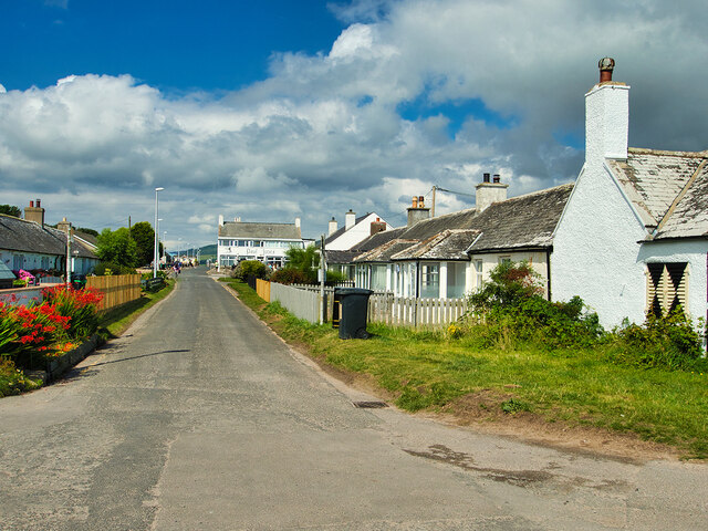
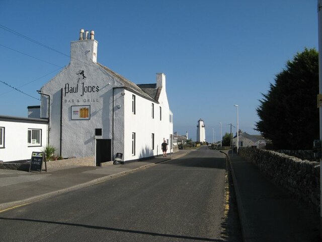
Southerness is a charming coastal village located on the southern coast of Scotland, in the historical county of Kirkcudbrightshire. Situated on the Solway Firth, it offers breathtaking views of the sea and the beautiful surrounding countryside. With a population of around 300 residents, Southerness maintains a peaceful and close-knit community.
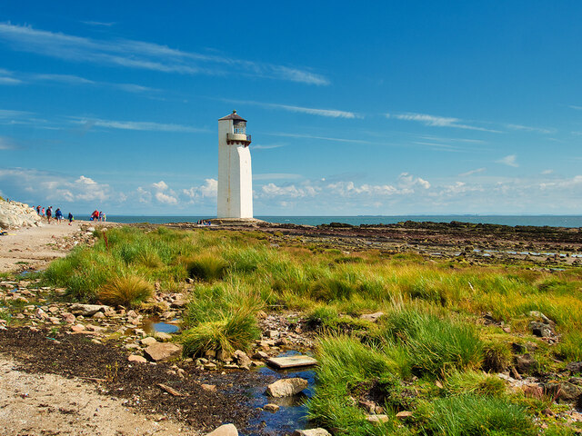
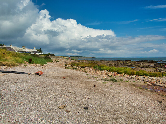
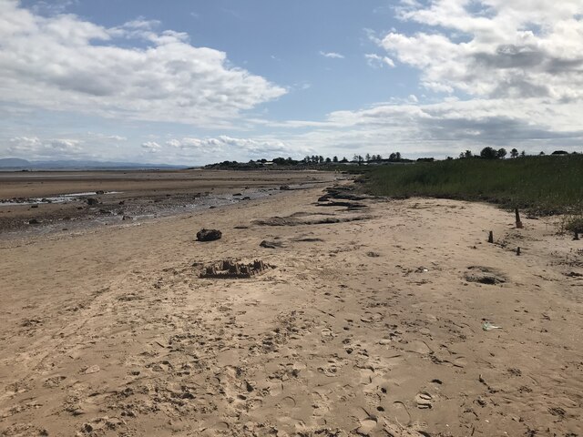
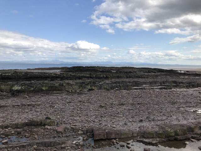
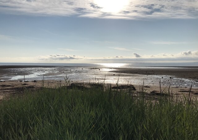
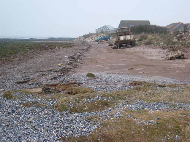
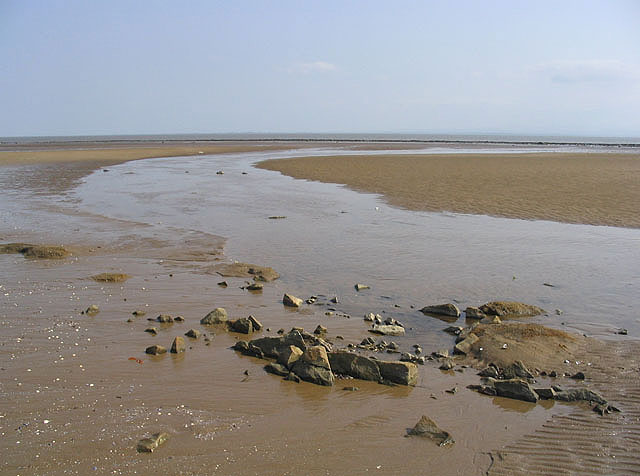
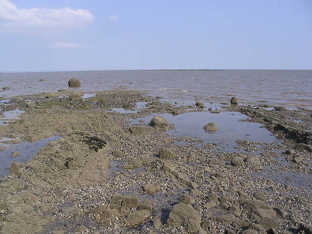
The village is renowned for its stunning beach, which stretches for several miles and boasts golden sands and clear waters. It is a popular destination for locals and tourists alike, offering a range of activities such as swimming, sunbathing, and beachcombing. The area is also known for its abundant wildlife, including various bird species and seals that can often be spotted on the shoreline.
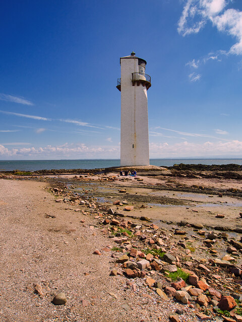
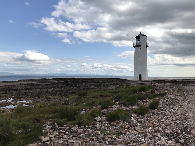
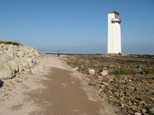
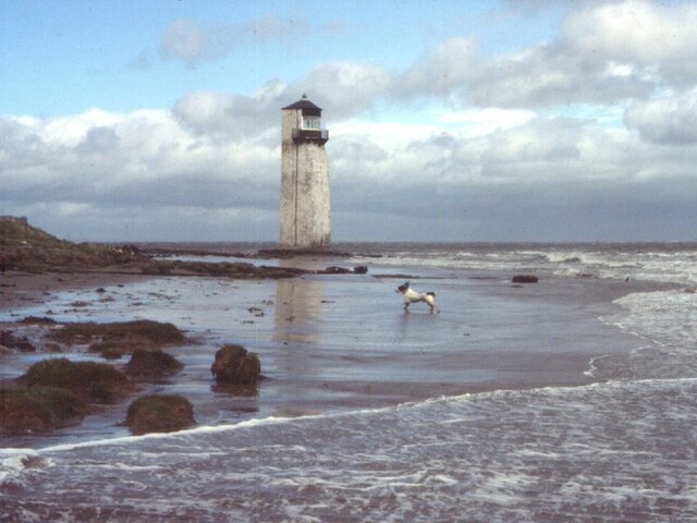
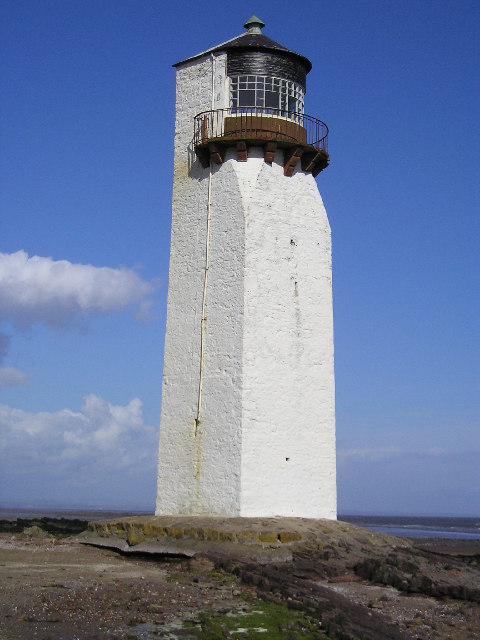
One of the key attractions in Southerness is the Southerness Lighthouse, a striking structure that dates back to 1749. It stands at 18 meters tall and has been guiding ships safely along the Solway Firth for centuries. Visitors can climb to the top of the lighthouse and enjoy panoramic views of the coastline.
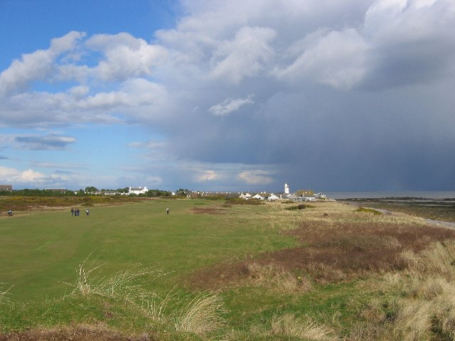
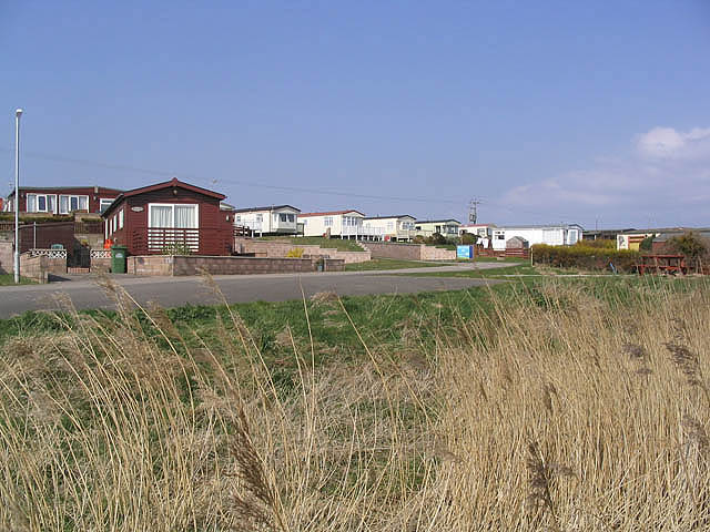
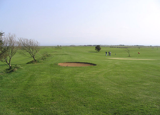
For those who enjoy outdoor pursuits, the nearby Southerness Golf Course offers a challenging 18-hole course with stunning sea views. The village also has a range of amenities, including a local shop, a pub, and a caravan park, making it a convenient base for exploring the wider Kirkcudbrightshire region.
Overall, Southerness is a hidden gem on the Scottish coast, offering a tranquil and picturesque setting that is perfect for nature lovers, history enthusiasts, and those seeking a peaceful getaway.
If you have any feedback on the listing, please let us know in the comments section below.
Southerness Images
Images are sourced within 2km of 54.874366/-3.5980558 or Grid Reference NX9754. Thanks to Geograph Open Source API. All images are credited.
Southerness is located at Grid Ref: NX9754 (Lat: 54.874366, Lng: -3.5980558)
Unitary Authority: Dumfries and Galloway
Police Authority: Dumfries and Galloway
What 3 Words
///wiping.loaning.driveways. Near Silloth, Cumbria
Nearby Locations
Related Wikis

Southerness
Southerness (/sʌðə'nɛs/; Scots: Satterness) is a small, compact coastal village in Dumfries and Galloway, Scotland. Southerness is located approximately...

Southerness Lighthouse
Southerness lighthouse is located at the village of Southerness in South West Scotland. It is at present the second oldest lighthouse in Scotland. The...
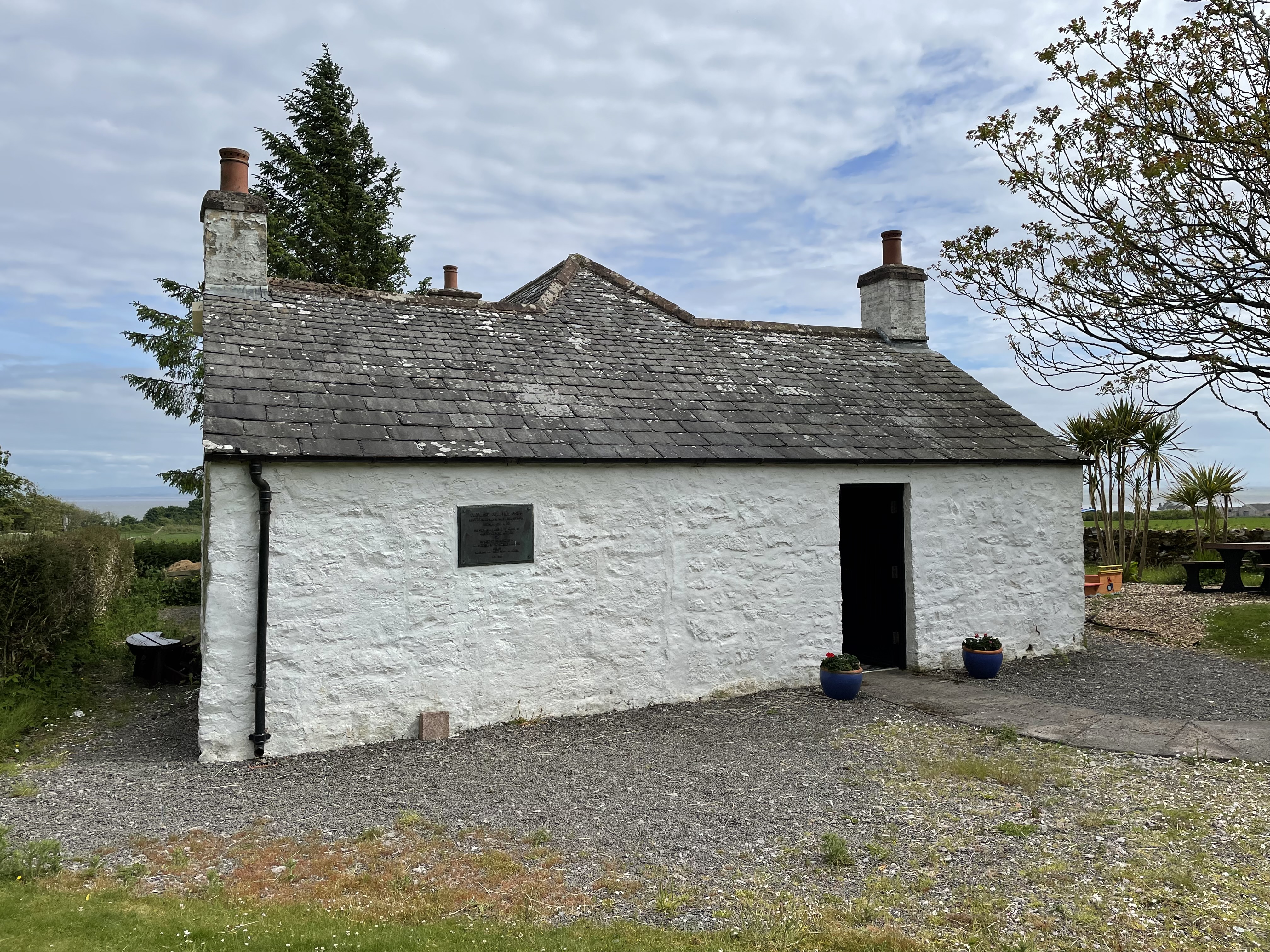
John Paul Jones Cottage Museum
The John Paul Jones Cottage Museum is located on the Arbigland Estate near Kirkbean in the historical county of Kirkcudbrightshire, Dumfries and Galloway...

Kirkbean
Kirkbean (Scottish Gaelic: Cille Bheathain) is a Scottish village and civil parish on the Solway Firth, in the historic county of Kirkcudbrightshire and...

Criffel
Criffel is a hill in the historical county of Kirkcudbrightshire, Dumfries and Galloway, south-west Scotland. It is 570 m (1,870 ft) high but appears higher...
Nearby Amenities
Located within 500m of 54.874366,-3.5980558Have you been to Southerness?
Leave your review of Southerness below (or comments, questions and feedback).