Southend

Settlement in Berkshire

England

Southend

The Garden House, Stanford Dingley, Berkshire Early C18. Red brick with moulded plat band. Moulded brick eaves cornice, old tile roof with end stacks and parapets, and 3 gabled dormers with casements. 2 storeys and attic; 3 bays, glazing bar sashes with exposed wooden boxes and gauged heads. Central glazed door with radial fanlight and doorcase with triangular pediment supported on plain brackets.

(Source:Historic England)
The Garden House, Stanford Dingley, Berkshire Credit: Oswald Bertram

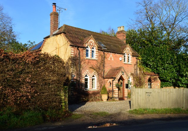
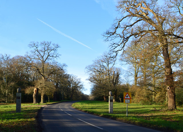
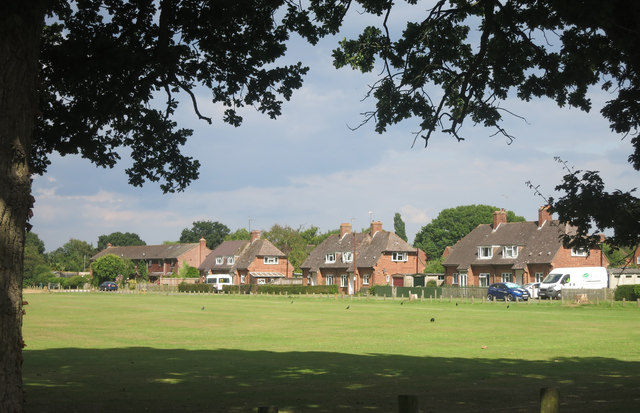
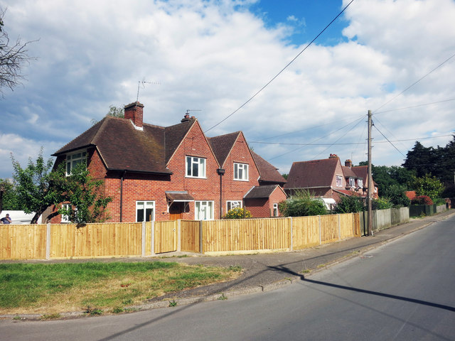
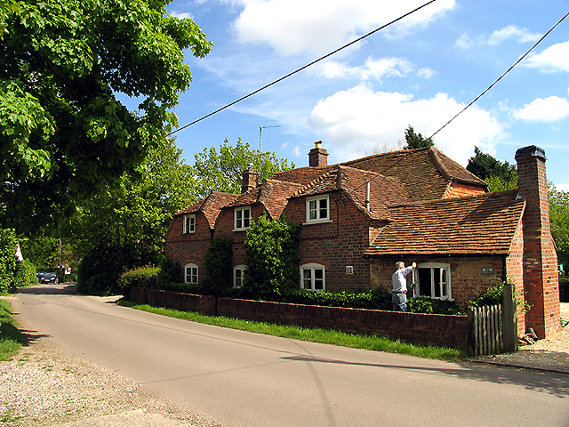
Southend is a small village located in the county of Berkshire, England. Situated approximately 42 miles west of London, it falls within the administrative district of West Berkshire. With a population of around 1,500 residents, Southend is known for its tranquil and picturesque setting.

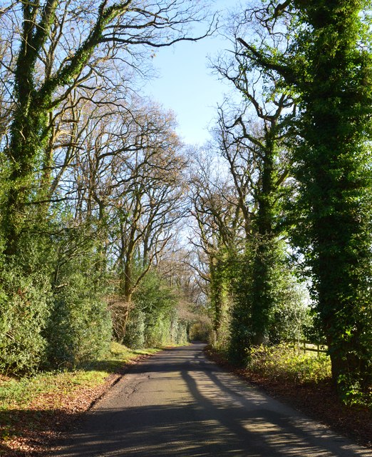
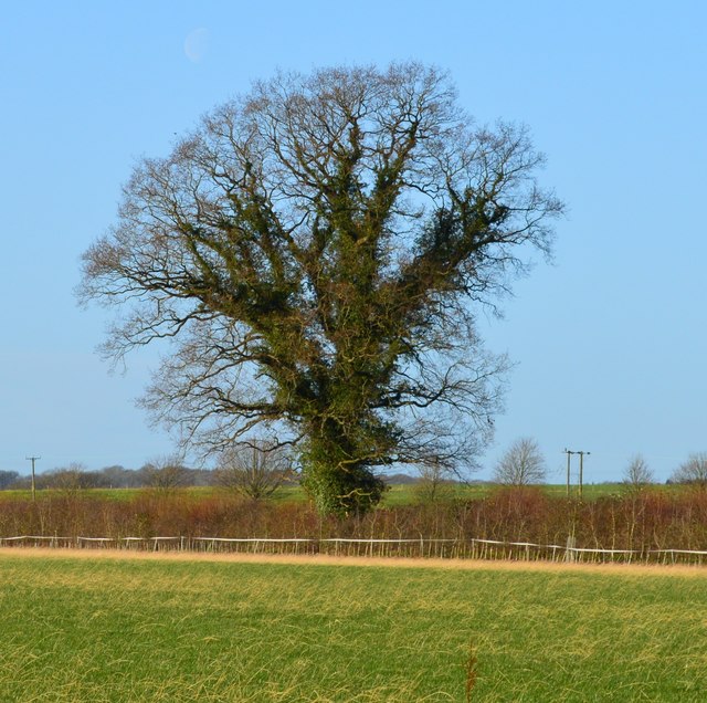
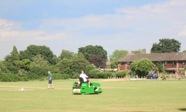
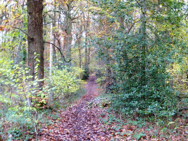
The village is surrounded by beautiful countryside and offers stunning views of the nearby hills and meadows. It is well-positioned for those who enjoy outdoor activities, with numerous walking and cycling routes available in the area. The nearby North Wessex Downs Area of Outstanding Natural Beauty is also easily accessible from Southend, providing further opportunities for exploring the great outdoors.

Despite its rural location, Southend benefits from good transport links. The village is located just off the A4 road, which connects it to nearby towns such as Newbury and Thatcham. The M4 motorway is also within easy reach, providing convenient access to larger cities such as Reading and London.

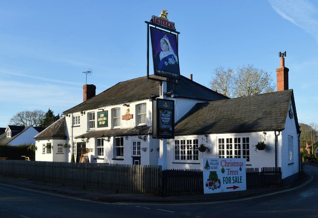
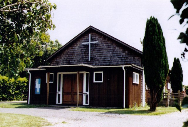
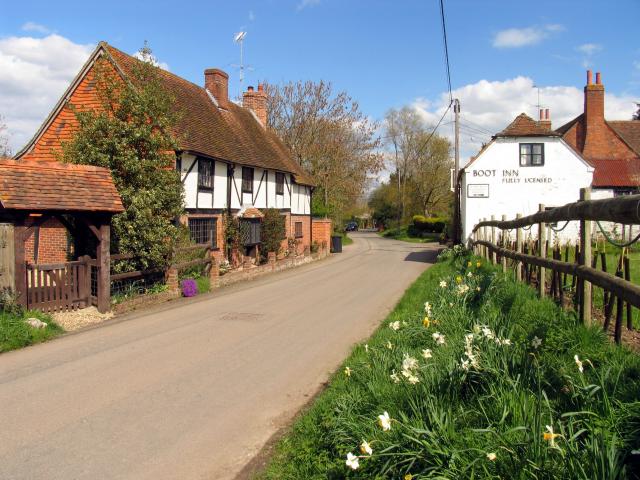
Southend itself has a limited range of amenities, including a local pub, a village hall, and a small convenience store. However, residents can access a wider range of services and facilities in the nearby towns and cities.

Overall, Southend offers a peaceful and idyllic place to live, surrounded by natural beauty and with good transport links to the wider region. It is a popular choice for those seeking a rural lifestyle while still being within commutable distance of larger urban centers.

If you have any feedback on the listing, please let us know in the comments section below.
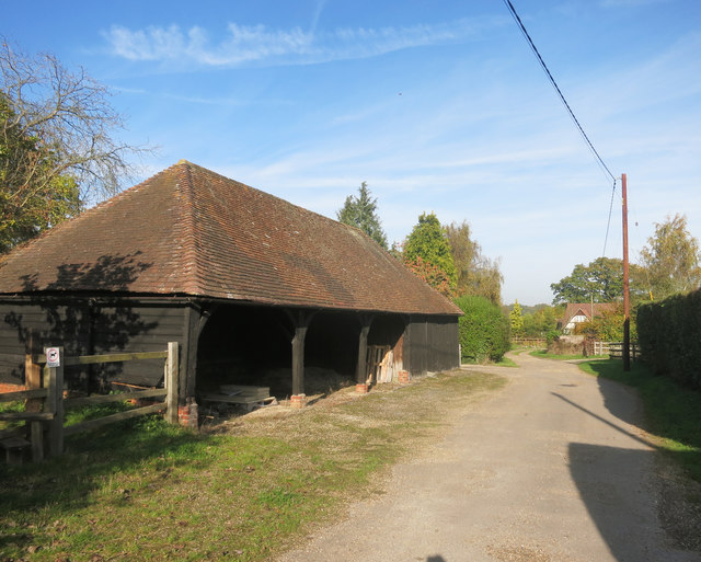
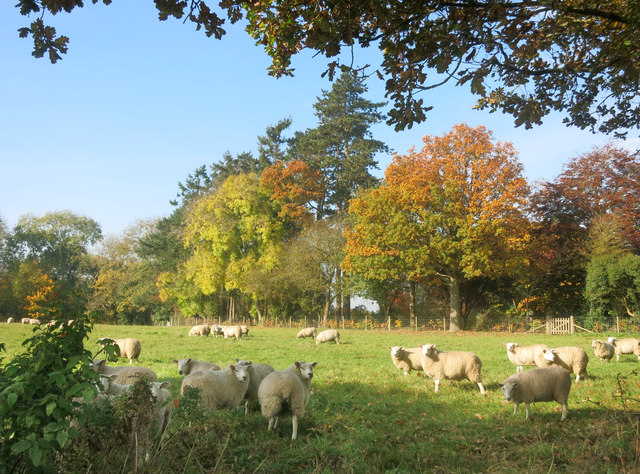
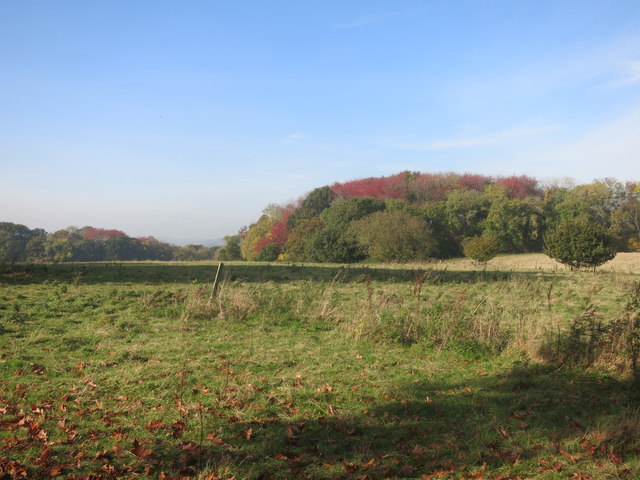
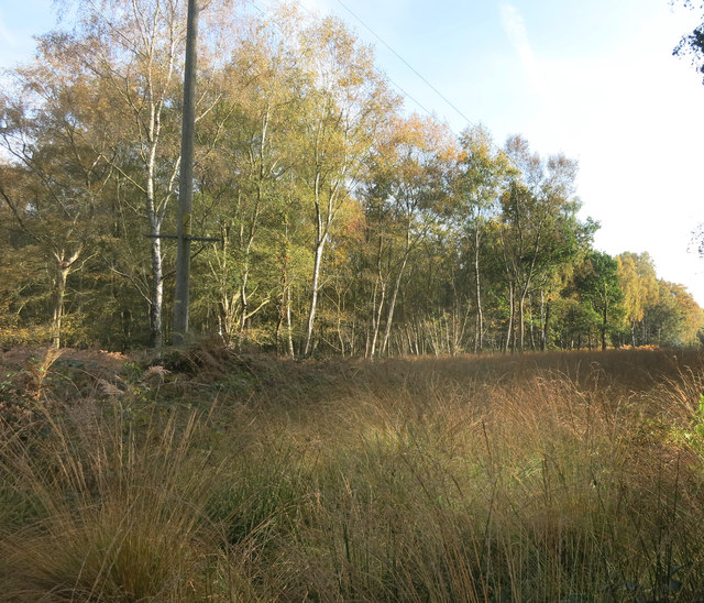
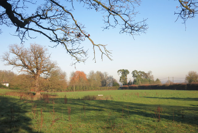
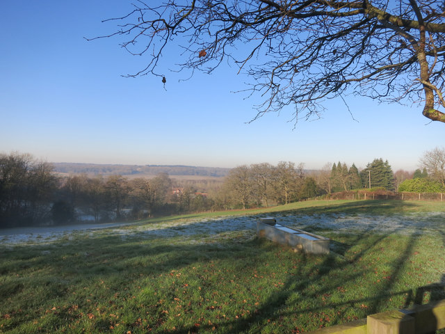
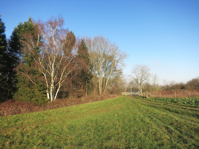
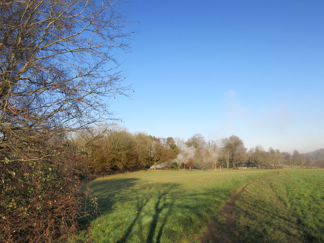
Southend Images

Images are sourced within 2km of 51.430587/-1.1456165 or Grid Reference SU5970. Thanks to Geograph Open Source API. All images are credited.

The Garden House, Stanford Dingley, Berkshire Early C18. Red brick with moulded plat band. Moulded brick eaves cornice, old tile roof with end stacks and parapets, and 3 gabled dormers with casements. 2 storeys and attic; 3 bays, glazing bar sashes with exposed wooden boxes and gauged heads. Central glazed door with radial fanlight and doorcase with triangular pediment supported on plain brackets.

(Source:Historic England)
The Garden House, Stanford Dingley, Berkshire
Early C18. Red brick with moulded plat band. Moulded brick eaves cornice, old tile roof with end stacks and parapets, and 3 gabled dormers with casements. 2 storeys and attic; 3 bays, glazing bar sashes with exposed wooden boxes and gauged heads. Central glazed door with radial fanlight and doorcase with triangular pediment supported on plain brackets. (Source:Historic England)
Village house, Bradfield Southend, Berkshire
The Queen's Head, Bradfield Southend, Berkshire
Country lane, Tutts Clump, Berkshire
Field boundary, Bradfield, Berkshire
Avenue of Oaks, Bucklebury, Berkshire The inner row of oaks was planted to celebrate a visit by Elizabeth I and the outer row to commemorate Wellington's victory at Waterloo in 1815. 

(Source:website of the Bucklebury Estate)

The gate posts were erected in 2015 to mark the marriage of Catherine Middleton, a resident of the village, to Prince William.
Avenue of Oaks, Bucklebury, Berkshire
The inner row of oaks was planted to celebrate a visit by Elizabeth I and the outer row to commemorate Wellington's victory at Waterloo in 1815. (Source:website of the Bucklebury Estate) The gate posts were erected in 2015 to mark the marriage of Catherine Middleton, a resident of the village, to Prince William.
New Way from the Cricket Ground New Way is one of the residential streets which surround the large cricket ground which occupies the prime spot in the centre of the village.
New Way from the Cricket Ground
New Way is one of the residential streets which surround the large cricket ground which occupies the prime spot in the centre of the village.
Houses in Heath Road
Rolling the Pitch Routine groundwork on the village cricket field.
Rolling the Pitch
Routine groundwork on the village cricket field.
Barn at Nine Elms Nine Elms Farm, or just Nine Elms depending which map you look at, is at the end of this drive. A short footpath through surrounding fields begins just beside the barn here.
Barn at Nine Elms
Nine Elms Farm, or just Nine Elms depending which map you look at, is at the end of this drive. A short footpath through surrounding fields begins just beside the barn here.
Sheep by the path Pasture near Clay Hill.
Sheep by the path
Pasture near Clay Hill.
Red Leaves in King's Copse A typical view for the area, mixed fields and woods.
Red Leaves in King's Copse
A typical view for the area, mixed fields and woods.
Cleared for Cables A view in the woods on Bucklebury Common where a power line cuts a swathe through the trees.
Cleared for Cables
A view in the woods on Bucklebury Common where a power line cuts a swathe through the trees.
Path between Paddocks A short public footpath cutting a corner between two lanes.
Path between Paddocks
A short public footpath cutting a corner between two lanes.
Field at Lambden's Farm Lambden's is certainly the name just here. This is Lambden's Farm along Lambden's Lane. The building just visible on the left is The Lambden's on the edge of Lambden's Wood.
Field at Lambden's Farm
Lambden's is certainly the name just here. This is Lambden's Farm along Lambden's Lane. The building just visible on the left is The Lambden's on the edge of Lambden's Wood.
The Pang Valley near Bradfield The River Pang is the only tributary catchment of any size to join the Thames between Abingdon and Reading.
The Pang Valley near Bradfield
The River Pang is the only tributary catchment of any size to join the Thames between Abingdon and Reading.
Paths meet at the gate A convergence of footpaths by Fisher's Copse.
Paths meet at the gate
A convergence of footpaths by Fisher's Copse.
Bonfire in the wood Something on fire near some stables.
Bonfire in the wood
Something on fire near some stables.
Show me another place!

Southend is located at Grid Ref: SU5970 (Lat: 51.430587, Lng: -1.1456165)

Unitary Authority: West Berkshire

Police Authority: Thames Valley

What 3 Words

///cowboys.ballooned.storm. Near Bradfield, Berkshire

Related Wikis

Southend, Berkshire

Southend or Bradfield Southend is a small rural village in the west of the civil parish of Bradfield in the English county of Berkshire. Until the 1965...

Tutts Clump

Tutts Clump is a small hamlet in the civil parish of Bradfield in the English county of Berkshire. It is 8 mi (13 km) from the centre of Reading. It lies...

Beenham

Beenham is a village and civil parish centred 6 miles (9.7 km) east of Newbury in the West Berkshire district of Berkshire, England. == Geography == Beenham...

King's Copse

King's Copse is a 13.7-hectare (34-acre) biological Site of Special Scientific Interest between Chapel Row and Clay Hill in Berkshire. It is in the North...

Stanford Dingley

Stanford Dingley is a small village and civil parish in West Berkshire, England, between Newbury and Theale. == Geography == Stanford Dingley fills part...

Old Copse, Beenham

Old Copse, Beenham is an 8-hectare (20-acre) biological Site of Special Scientific Interest south of Beenham in Berkshire. The site is private land with...

Bradfield Rural District

Bradfield was a rural district in Berkshire, England, from 1894 to 1974.It was created under the Local Government Act 1894 from the Bradfield rural sanitary...

Bradfield, Berkshire

Bradfield is a village and civil parish in Berkshire, England. Aside from farms and a smaller amount of woodland its main settlements are Bradfield Southend...

Nearby Amenities

Located within 500m of 51.430587,-1.1456165
Bradfield Southend
Place: village
Wikidata: Q7569509
Wikipedia: en:Southend, Berkshire
Lat/Long: 51.4326411/-1.1453738
Post Box
Lat/Long: 51.4287621/-1.1515231
Bus Stop
Bench: no
Bin: no
Naptan AtcoCode: 030055340001
Naptan NaptanCode: brkdgag
Shelter: no
Tactile Paving: no
Lat/Long: 51.4287799/-1.1514647
Bus Stop
Bench: no
Bin: no
Shelter: no
Tactile Paving: no
Lat/Long: 51.4285298/-1.1518898
Traffic Calming: hump
Lat/Long: 51.4315109/-1.1462397
Bus Stop
Naptan AtcoCode: 030053020001
Naptan NaptanCode: brkgtmp
Lat/Long: 51.4304249/-1.1458868
Traffic Calming: hump
Lat/Long: 51.4318247/-1.1457236
Bus Stop
Lat/Long: 51.4304313/-1.146048
Post Box
Collection Times: Mo-Fr 17:00; Sa 09:15
Operator: Royal Mail
Lat/Long: 51.4321965/-1.1432335
Defibrillator
Emergency: defibrillator
Indoor: no
Opening Hours: 24/7
Lat/Long: 51.4323674/-1.1432242
Bench
Lat/Long: 51.4314742/-1.1466187
The data included in this document is from www.openstreetmap.org. The data is made available under ODbL.

Have you been to Southend?

Leave your review of Southend below (or comments, questions and feedback).