Holly Copse

Wood, Forest in Berkshire

England

Holly Copse

Village house, Bradfield Southend, Berkshire
Village house, Bradfield Southend, Berkshire Credit: Oswald Bertram

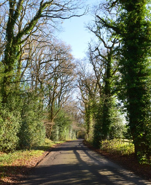
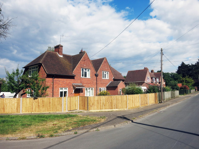
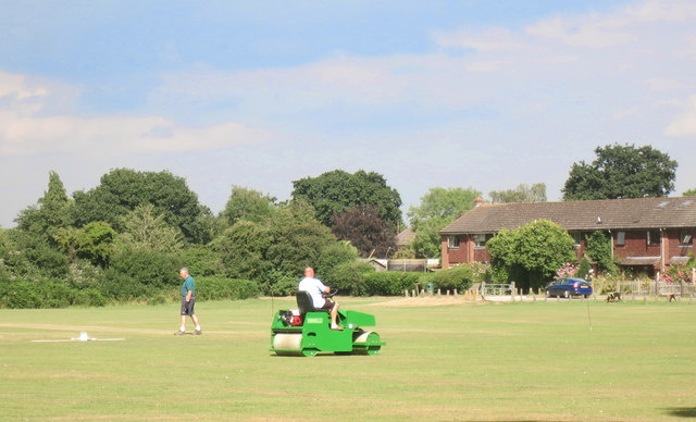
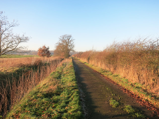
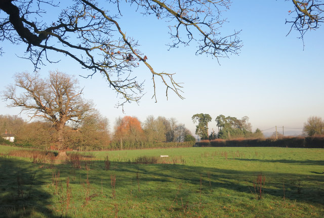
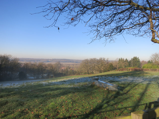
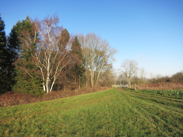
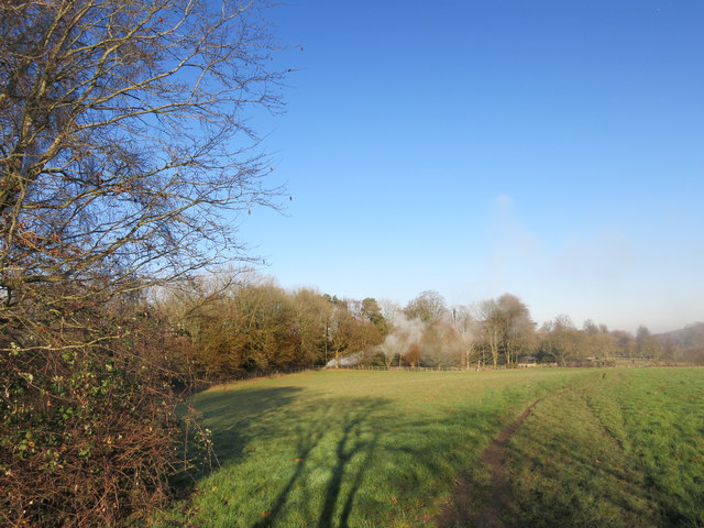
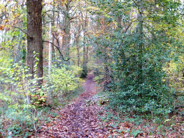
Holly Copse, located in Berkshire, England, is a picturesque wood or forest spanning approximately 20 acres. It is nestled within a rural landscape, offering visitors a tranquil and serene environment to explore and enjoy nature. The copse is easily accessible, with several footpaths and trails meandering through the area, allowing visitors to fully immerse themselves in the beauty of the woodland.

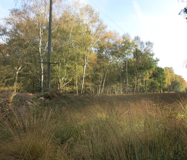
The dominant species found in Holly Copse is the holly tree, hence its name. These evergreen trees provide a stunning backdrop throughout the year, with their glossy dark green leaves and vibrant red berries during the winter months. The copse also boasts a diverse range of flora and fauna, with various other tree species such as oak, beech, and birch, as well as an array of wildflowers and woodland plants.

Wildlife enthusiasts will be delighted to discover an abundance of animal species residing within Holly Copse. Squirrels can be spotted darting through the branches, while birdsong fills the air, with species such as robins, blackbirds, and woodpeckers being commonly sighted. The copse is also home to small mammals such as foxes, badgers, and rabbits, further adding to its rich biodiversity.

Holly Copse offers a peaceful retreat for those seeking respite from the hustle and bustle of everyday life. Whether it's a leisurely walk, a picnic amidst nature, or simply enjoying the sights and sounds of the wood, this idyllic location is sure to provide a memorable experience for visitors of all ages.

If you have any feedback on the listing, please let us know in the comments section below.
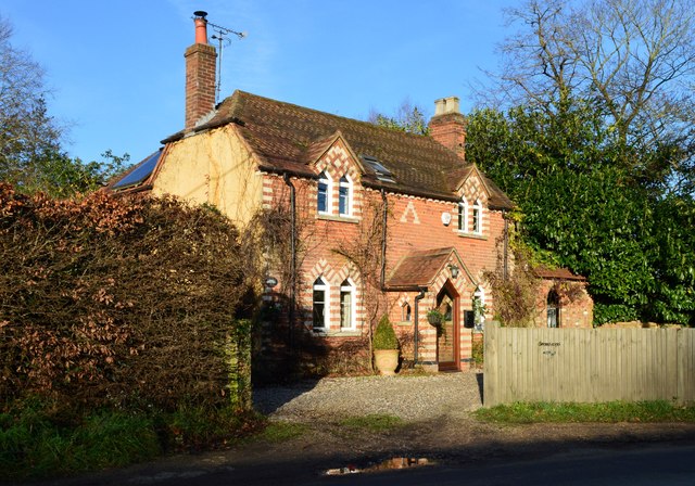
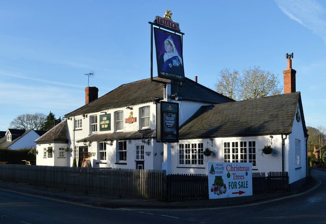
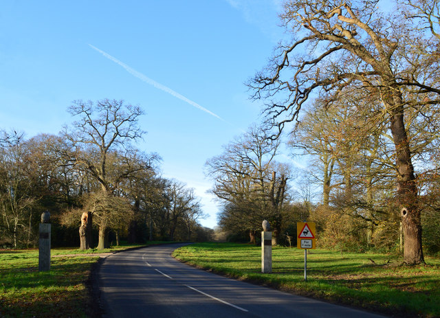
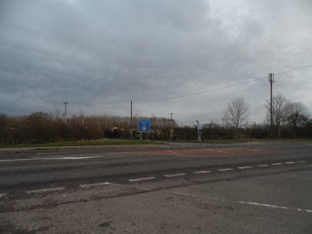
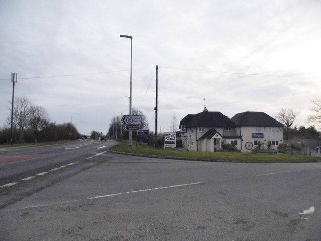
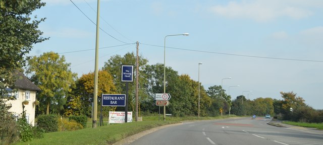
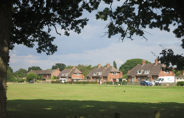
Holly Copse Images

Images are sourced within 2km of 51.427833/-1.140389 or Grid Reference SU5970. Thanks to Geograph Open Source API. All images are credited.

Village house, Bradfield Southend, Berkshire
The Queen's Head, Bradfield Southend, Berkshire
Country lane, Tutts Clump, Berkshire
Avenue of Oaks, Bucklebury, Berkshire The inner row of oaks was planted to celebrate a visit by Elizabeth I and the outer row to commemorate Wellington's victory at Waterloo in 1815. 

(Source:website of the Bucklebury Estate)

The gate posts were erected in 2015 to mark the marriage of Catherine Middleton, a resident of the village, to Prince William.
Avenue of Oaks, Bucklebury, Berkshire
The inner row of oaks was planted to celebrate a visit by Elizabeth I and the outer row to commemorate Wellington's victory at Waterloo in 1815. (Source:website of the Bucklebury Estate) The gate posts were erected in 2015 to mark the marriage of Catherine Middleton, a resident of the village, to Prince William.
Crossroads on the A4, Lower Padworth
Lambdens Hill at the junction of the A4
The A4 The A4 (Great Western Road) runs 127 miles from London (Holborn Circus) to Avonmouth. It heads west out of London through Slough, Reading, Newbury, Marlborough, Bath and Bristol. Today it is paralleled by the M4.
Wikipedia: <span class="nowrap"><a title="http://en.wikipedia.org/wiki/A4_road_(England)" rel="nofollow ugc noopener" href="http://en.wikipedia.org/wiki/A4_road_(England)">Link</a><img style="margin-left:2px;" alt="External link" title="External link - shift click to open in new window" src="https://s1.geograph.org.uk/img/external.png" width="10" height="10"/></span>
The A4
The A4 (Great Western Road) runs 127 miles from London (Holborn Circus) to Avonmouth. It heads west out of London through Slough, Reading, Newbury, Marlborough, Bath and Bristol. Today it is paralleled by the M4. Wikipedia: LinkExternal link
New Way from the Cricket Ground New Way is one of the residential streets which surround the large cricket ground which occupies the prime spot in the centre of the village.
New Way from the Cricket Ground
New Way is one of the residential streets which surround the large cricket ground which occupies the prime spot in the centre of the village.
Houses in Heath Road
Rolling the Pitch Routine groundwork on the village cricket field.
Rolling the Pitch
Routine groundwork on the village cricket field.
Cleared for Cables A view in the woods on Bucklebury Common where a power line cuts a swathe through the trees.
Cleared for Cables
A view in the woods on Bucklebury Common where a power line cuts a swathe through the trees.
Path between Paddocks A short public footpath cutting a corner between two lanes.
Path between Paddocks
A short public footpath cutting a corner between two lanes.
Flat Landscape A sizeable chunk of SU6169 is in this shot, and the rest is pretty similar.
Flat Landscape
A sizeable chunk of SU6169 is in this shot, and the rest is pretty similar.
Private Road at Victoria Lodge A gated road leading to The Lambdens, presumably a place of enough importance to have a Drive and a Lodge, although this no longer looks to be the main way in..
Private Road at Victoria Lodge
A gated road leading to The Lambdens, presumably a place of enough importance to have a Drive and a Lodge, although this no longer looks to be the main way in..
Field at Lambden's Farm Lambden's is certainly the name just here. This is Lambden's Farm along Lambden's Lane. The building just visible on the left is The Lambden's on the edge of Lambden's Wood.
Field at Lambden's Farm
Lambden's is certainly the name just here. This is Lambden's Farm along Lambden's Lane. The building just visible on the left is The Lambden's on the edge of Lambden's Wood.
The Pang Valley near Bradfield The River Pang is the only tributary catchment of any size to join the Thames between Abingdon and Reading.
The Pang Valley near Bradfield
The River Pang is the only tributary catchment of any size to join the Thames between Abingdon and Reading.
Paths meet at the gate A convergence of footpaths by Fisher's Copse.
Paths meet at the gate
A convergence of footpaths by Fisher's Copse.
Bonfire in the wood Something on fire near some stables.
Bonfire in the wood
Something on fire near some stables.
Show me another place!

Holly Copse is located at Grid Ref: SU5970 (Lat: 51.427833, Lng: -1.140389)

Unitary Authority: West Berkshire

Police Authority: Thames Valley

What 3 Words

///silks.cafe.overture. Near Bradfield, Berkshire

Related Wikis

Southend, Berkshire

Southend or Bradfield Southend is a small rural village in the west of the civil parish of Bradfield in the English county of Berkshire. Until the 1965...

Beenham

Beenham is a village and civil parish centred 6 miles (9.7 km) east of Newbury in the West Berkshire district of Berkshire, England. == Geography == Beenham...

Tutts Clump

Tutts Clump is a small hamlet in the civil parish of Bradfield in the English county of Berkshire. It is 8 mi (13 km) from the centre of Reading. It lies...

Old Copse, Beenham

Old Copse, Beenham is an 8-hectare (20-acre) biological Site of Special Scientific Interest south of Beenham in Berkshire. The site is private land with...

Ufton Nervet rail crash

The Ufton Nervet rail crash occurred on 6 November 2004 when a passenger train collided with a stationary car on a level crossing on the Reading–Taunton...

King's Copse

King's Copse is a 13.7-hectare (34-acre) biological Site of Special Scientific Interest between Chapel Row and Clay Hill in Berkshire. It is in the North...

Bradfield, Berkshire

Bradfield is a village and civil parish in Berkshire, England. Aside from farms and a smaller amount of woodland its main settlements are Bradfield Southend...

Bradfield College

Bradfield College, formally St Andrew's College, Bradfield, is a public school (English fee-charging boarding and day school) for pupils aged 13–18, located...

Nearby Amenities

Located within 500m of 51.427833,-1.140389
Bus Stop
Naptan AtcoCode: 030053020001
Naptan NaptanCode: brkgtmp
Lat/Long: 51.4304249/-1.1458868
Bus Stop
Lat/Long: 51.4304313/-1.146048
The data included in this document is from www.openstreetmap.org. The data is made available under ODbL.

Have you been to Holly Copse?

Leave your review of Holly Copse below (or comments, questions and feedback).