Admoor Copse

Wood, Forest in Berkshire

England

Admoor Copse

Village house, Bradfield Southend, Berkshire
Village house, Bradfield Southend, Berkshire Credit: Oswald Bertram

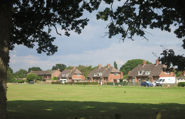
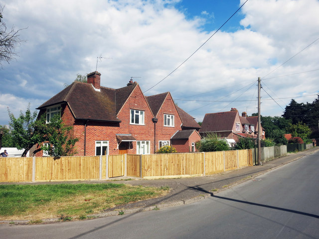
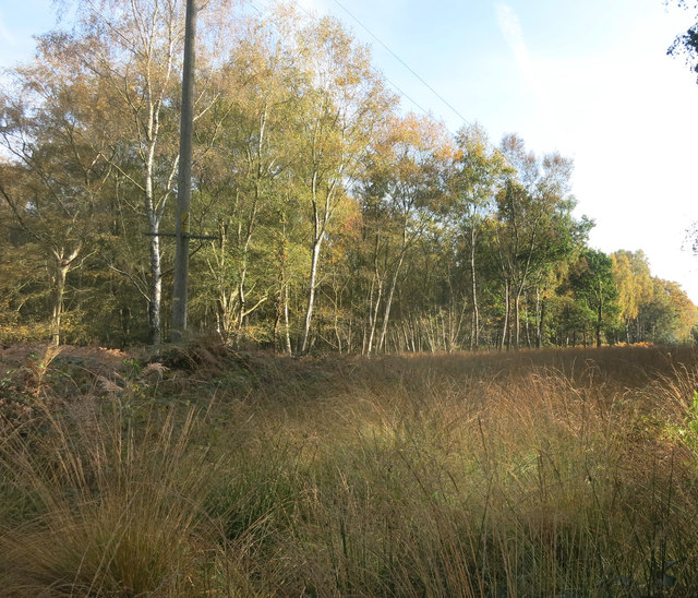
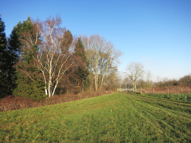
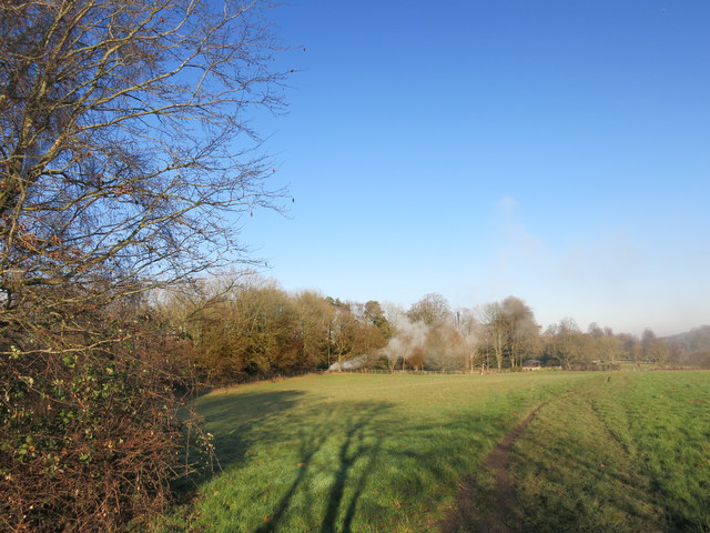
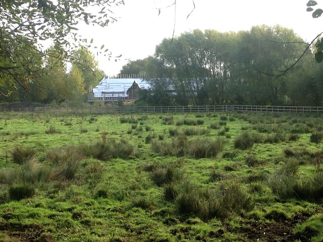
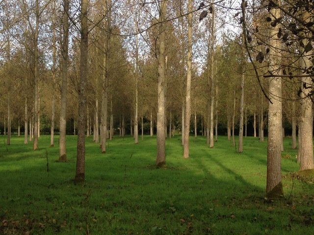
Admoor Copse is a charming woodland located in the county of Berkshire, England. Situated near the village of Admoor, this copse covers an area of approximately 10 acres and is a popular destination for nature enthusiasts and hikers alike.

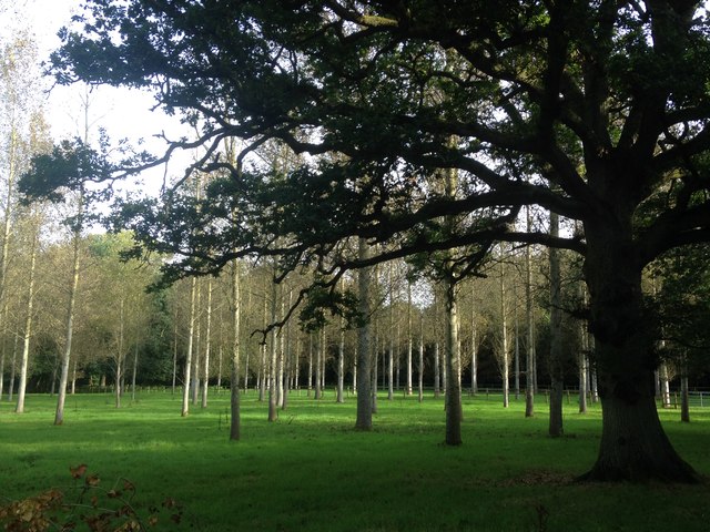
The copse is predominantly composed of native broadleaf trees, such as oak, beech, and birch, creating a diverse and vibrant ecosystem. The thick foliage provides a sheltered habitat for a variety of wildlife, including deer, foxes, and a wide range of bird species. Birdwatchers often visit Admoor Copse to catch a glimpse of rare and migratory birds that inhabit the area.

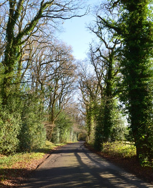
Visitors to the copse can enjoy a network of well-maintained footpaths that wind through the woodland, allowing them to explore the serene surroundings and appreciate the natural beauty. The tall, ancient trees provide shade during the summer months, creating a cool and tranquil atmosphere, while the changing colors of the leaves in autumn offer a picturesque spectacle.

Admoor Copse is also of historical significance, with evidence of human habitation dating back centuries. The remains of an ancient settlement and burial mounds have been discovered within the copse, adding an extra layer of intrigue to the area.

Whether one seeks a peaceful walk in nature, a chance to observe wildlife, or an opportunity to delve into the region's history, Admoor Copse offers a delightful experience for all who visit.

If you have any feedback on the listing, please let us know in the comments section below.
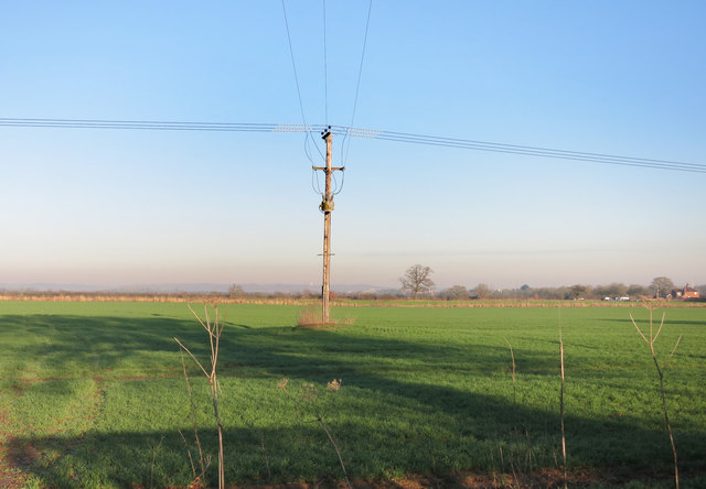
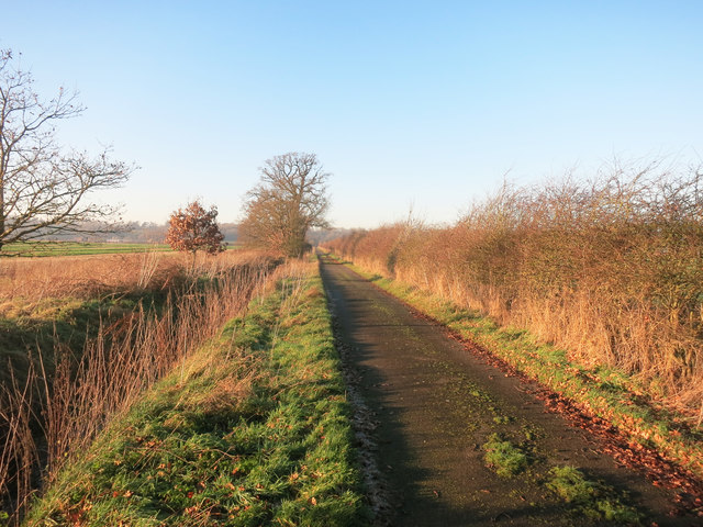
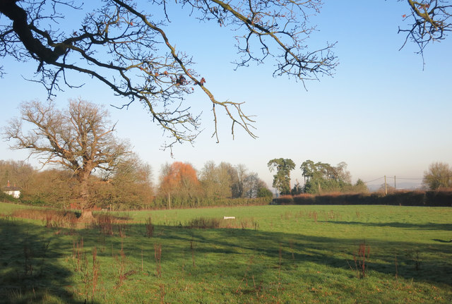
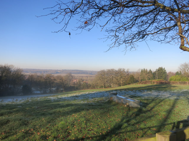
Admoor Copse Images

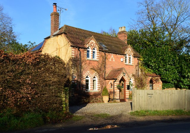
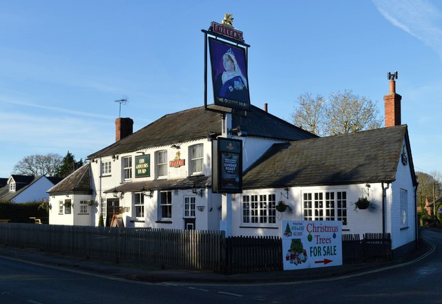
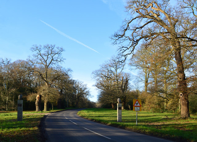
Images are sourced within 2km of 51.429784/-1.1390866 or Grid Reference SU5970. Thanks to Geograph Open Source API. All images are credited.

Village house, Bradfield Southend, Berkshire
The Queen's Head, Bradfield Southend, Berkshire
Country lane, Tutts Clump, Berkshire
Avenue of Oaks, Bucklebury, Berkshire The inner row of oaks was planted to celebrate a visit by Elizabeth I and the outer row to commemorate Wellington's victory at Waterloo in 1815. 

(Source:website of the Bucklebury Estate)

The gate posts were erected in 2015 to mark the marriage of Catherine Middleton, a resident of the village, to Prince William.
Avenue of Oaks, Bucklebury, Berkshire
The inner row of oaks was planted to celebrate a visit by Elizabeth I and the outer row to commemorate Wellington's victory at Waterloo in 1815. (Source:website of the Bucklebury Estate) The gate posts were erected in 2015 to mark the marriage of Catherine Middleton, a resident of the village, to Prince William.
New Way from the Cricket Ground New Way is one of the residential streets which surround the large cricket ground which occupies the prime spot in the centre of the village.
New Way from the Cricket Ground
New Way is one of the residential streets which surround the large cricket ground which occupies the prime spot in the centre of the village.
Houses in Heath Road
Rolling the Pitch Routine groundwork on the village cricket field.
Rolling the Pitch
Routine groundwork on the village cricket field.
Cleared for Cables A view in the woods on Bucklebury Common where a power line cuts a swathe through the trees.
Cleared for Cables
A view in the woods on Bucklebury Common where a power line cuts a swathe through the trees.
Path between Paddocks A short public footpath cutting a corner between two lanes.
Path between Paddocks
A short public footpath cutting a corner between two lanes.
Flat Landscape A sizeable chunk of SU6169 is in this shot, and the rest is pretty similar.
Flat Landscape
A sizeable chunk of SU6169 is in this shot, and the rest is pretty similar.
Private Road at Victoria Lodge A gated road leading to The Lambdens, presumably a place of enough importance to have a Drive and a Lodge, although this no longer looks to be the main way in..
Private Road at Victoria Lodge
A gated road leading to The Lambdens, presumably a place of enough importance to have a Drive and a Lodge, although this no longer looks to be the main way in..
Field at Lambden's Farm Lambden's is certainly the name just here. This is Lambden's Farm along Lambden's Lane. The building just visible on the left is The Lambden's on the edge of Lambden's Wood.
Field at Lambden's Farm
Lambden's is certainly the name just here. This is Lambden's Farm along Lambden's Lane. The building just visible on the left is The Lambden's on the edge of Lambden's Wood.
The Pang Valley near Bradfield The River Pang is the only tributary catchment of any size to join the Thames between Abingdon and Reading.
The Pang Valley near Bradfield
The River Pang is the only tributary catchment of any size to join the Thames between Abingdon and Reading.
Paths meet at the gate A convergence of footpaths by Fisher's Copse.
Paths meet at the gate
A convergence of footpaths by Fisher's Copse.
Bonfire in the wood Something on fire near some stables.
Bonfire in the wood
Something on fire near some stables.
Barn conversion, Kimberhead Farm Looking east from the footpath across rush pasture in the Pang valley.
Barn conversion, Kimberhead Farm
Looking east from the footpath across rush pasture in the Pang valley.
Poplar plantation near Folly Bridge A few standard oak trees are surrounded by the planted poplars.
Poplar plantation near Folly Bridge
A few standard oak trees are surrounded by the planted poplars.
Poplar plantation near Folly Bridge Looking north-west towards Frogmoor Farm.
Poplar plantation near Folly Bridge
Looking north-west towards Frogmoor Farm.
Show me another place!

Admoor Copse is located at Grid Ref: SU5970 (Lat: 51.429784, Lng: -1.1390866)

Unitary Authority: West Berkshire

Police Authority: Thames Valley

What 3 Words

///jump.cook.quoted. Near Bradfield, Berkshire

Related Wikis

Southend, Berkshire

Southend or Bradfield Southend is a small rural village in the west of the civil parish of Bradfield in the English county of Berkshire. Until the 1965...

Tutts Clump

Tutts Clump is a small hamlet in the civil parish of Bradfield in the English county of Berkshire. It is 8 mi (13 km) from the centre of Reading. It lies...

Beenham

Beenham is a village and civil parish centred 6 miles (9.7 km) east of Newbury in the West Berkshire district of Berkshire, England. == Geography == Beenham...

Bradfield, Berkshire

Bradfield is a village and civil parish in Berkshire, England. Aside from farms and a smaller amount of woodland its main settlements are Bradfield Southend...

Nearby Amenities

Located within 500m of 51.429784,-1.1390866
Bus Stop
Naptan AtcoCode: 030053020001
Naptan NaptanCode: brkgtmp
Lat/Long: 51.4304249/-1.1458868
Bus Stop
Lat/Long: 51.4304313/-1.146048
Post Box
Collection Times: Mo-Fr 17:00; Sa 09:15
Operator: Royal Mail
Lat/Long: 51.4321965/-1.1432335
Defibrillator
Emergency: defibrillator
Indoor: no
Opening Hours: 24/7
Lat/Long: 51.4323674/-1.1432242
The data included in this document is from www.openstreetmap.org. The data is made available under ODbL.

Have you been to Admoor Copse?

Leave your review of Admoor Copse below (or comments, questions and feedback).