Blount's Green

Settlement in Staffordshire East Staffordshire

England

Blount's Green

Uttoxeter Here at the junction of High Street and Market Place is a decorative 19C shop and office building and an old timber-framed building.
Uttoxeter Credit: Humphrey Bolton

Blount's Green is a small village located in the county of Staffordshire, England. Situated in the West Midlands region, it is part of the district of Lichfield and lies approximately 12 miles north of the city of Birmingham. Blount's Green is surrounded by picturesque countryside and offers a peaceful and idyllic setting for its residents.

The village is known for its charming rural character, characterized by traditional stone houses and well-manicured gardens. It has a close-knit community, with a population of around 500 people. Blount's Green has a strong sense of community spirit, with local events and activities organized throughout the year, including summer fairs and sports tournaments.

Despite its small size, the village boasts a range of amenities to cater to its residents' needs. This includes a village hall, a pub, and a primary school, providing essential services and a sense of community hub. Additionally, Blount's Green benefits from excellent transport links, with easy access to major roads such as the A38 and the M6 motorway, making it a convenient location for commuters.

The surrounding area offers plenty of opportunities for outdoor activities, with several nature reserves and parks nearby. The nearby Cannock Chase, an Area of Outstanding Natural Beauty, is particularly popular among residents and visitors alike, offering extensive woodland and heathland for walking, cycling, and wildlife spotting.

In conclusion, Blount's Green is a charming village in Staffordshire that offers its residents a peaceful and close-knit community, surrounded by beautiful countryside and with excellent transport links to nearby towns and cities.

If you have any feedback on the listing, please let us know in the comments section below.

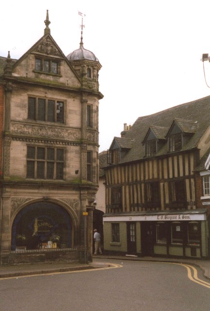
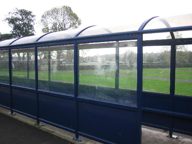
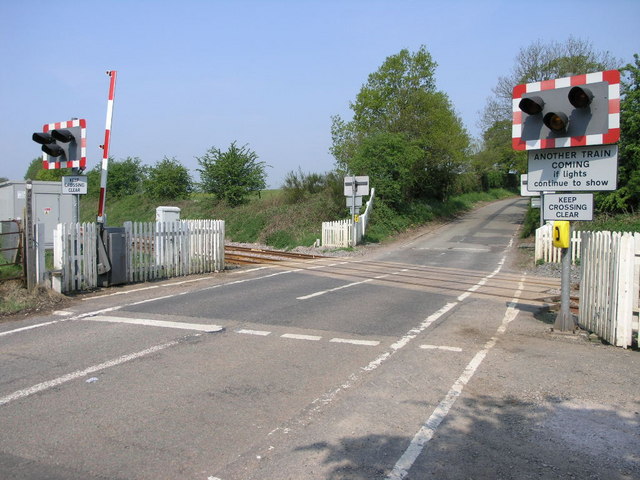
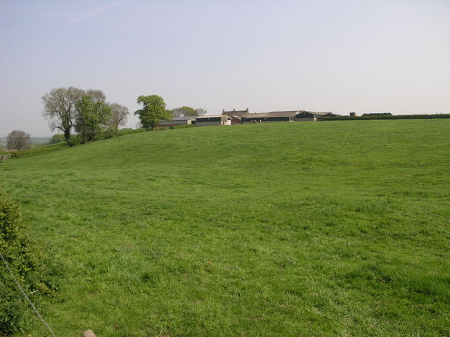
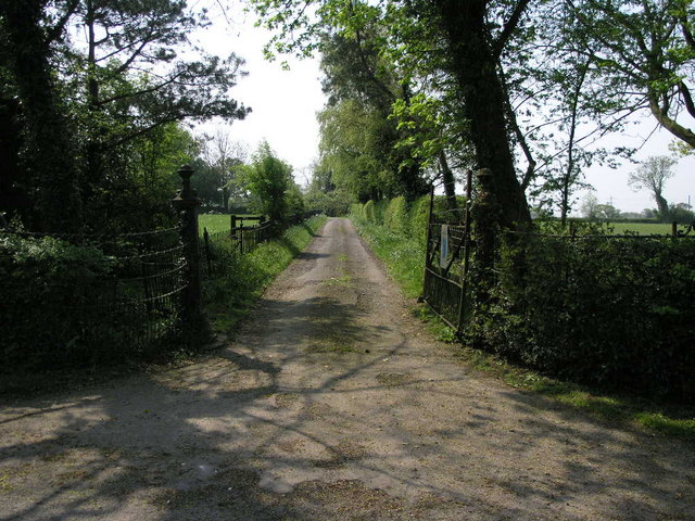
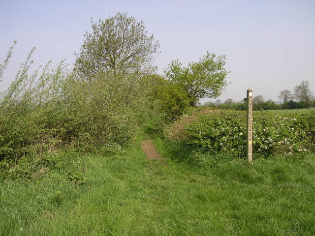
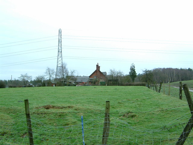
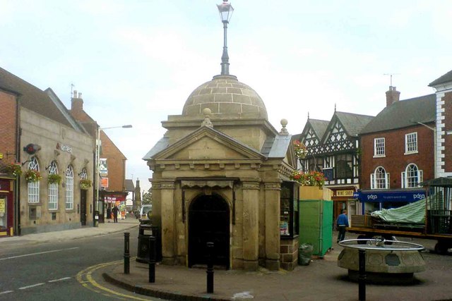
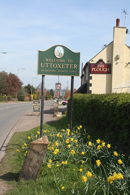
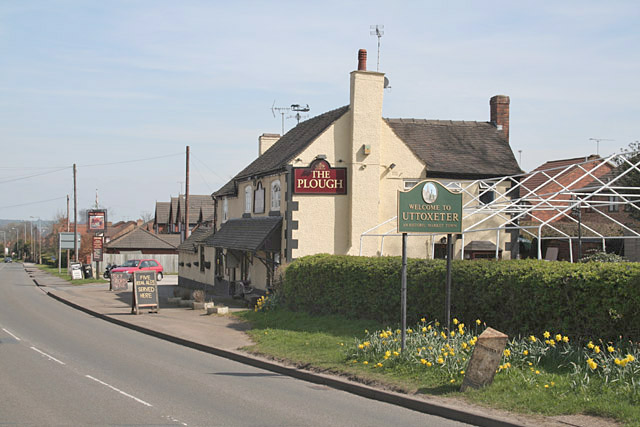
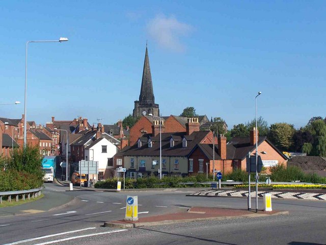
Blount's Green Images

Images are sourced within 2km of 52.890144/-1.88255 or Grid Reference SK0832. Thanks to Geograph Open Source API. All images are credited.

Uttoxeter Here at the junction of High Street and Market Place is a decorative 19C shop and office building and an old timber-framed building.
Uttoxeter
Here at the junction of High Street and Market Place is a decorative 19C shop and office building and an old timber-framed building.
Uttoxeter railway station The race course at Uttoxeter can be seen through this shelter on the railway platform.
Uttoxeter railway station
The race course at Uttoxeter can be seen through this shelter on the railway platform.
Fox's biscuit factory, Uttoxeter, Staffs. Second largest factory in the town after the JCB parts centre. But this ones smells sweeter (shortbread on the day I took the photo)
Fox's biscuit factory, Uttoxeter, Staffs.
Second largest factory in the town after the JCB parts centre. But this ones smells sweeter (shortbread on the day I took the photo)
Welcome to Uttoxeter Next to the entrance to Park Fields this sign welcomes visitors to Uttoxeter approaching on the B5027 from Bramshall to An Historic Market Town.
Welcome to Uttoxeter
Next to the entrance to Park Fields this sign welcomes visitors to Uttoxeter approaching on the B5027 from Bramshall to An Historic Market Town.
Level on a Hill Just west of this level crossing, on the Uttoxeter to Stoke line, there was once a junction to the nearby munitions dump.  A series of buildings which were built a good distance apart from each other housed the explosives.
Level on a Hill
Just west of this level crossing, on the Uttoxeter to Stoke line, there was once a junction to the nearby munitions dump. A series of buildings which were built a good distance apart from each other housed the explosives.
Farm on a Hill Loxley Bank farm sits on top of this green hill.
Farm on a Hill
Loxley Bank farm sits on top of this green hill.
Grand Farm Entrance This iron fence and gate are found at the end of a track to what appears to be a farm.
Grand Farm Entrance
This iron fence and gate are found at the end of a track to what appears to be a farm.
Staffordshire Way This long distance footpath is, at this point, just short of Uttoxeter.
Staffordshire Way
This long distance footpath is, at this point, just short of Uttoxeter.
Field Head farm Uttoxeter The Staffordshire Way walk runs right through the yard of a friendly farmer.
Field Head farm Uttoxeter
The Staffordshire Way walk runs right through the yard of a friendly farmer.
Uttoxeter Uttoxeter market place
Uttoxeter
Uttoxeter market place
Three Tuns Ashbourne Road, Uttoxeter
Three Tuns
Ashbourne Road, Uttoxeter
Excavators on Parade JCB excavators await buyers in a yard in Uttoxeter.
Excavators on Parade
JCB excavators await buyers in a yard in Uttoxeter.
Dairy Farming near Willslock, Uttoxeter
Lower Leasow near Blount's Green, Uttoxeter
Blount's Green, Uttoxeter These pillars look as if they once formed an animal pound, and form a less than inviting surround to the seat for anyone wishing to brave the traffic at this junction!
Blount's Green, Uttoxeter
These pillars look as if they once formed an animal pound, and form a less than inviting surround to the seat for anyone wishing to brave the traffic at this junction!
Welcome to Uttoxeter The Plough at Blounts Green, with town sign, daffodils and a rather neglected cast iron milestone.
Welcome to Uttoxeter
The Plough at Blounts Green, with town sign, daffodils and a rather neglected cast iron milestone.
Welcome to Uttoxeter The Plough at Blounts Green, with town sign, daffodils and a rather neglected cast iron milestone.
Welcome to Uttoxeter
The Plough at Blounts Green, with town sign, daffodils and a rather neglected cast iron milestone.
Road Into Uttoxeter Bridge Street is the road leading to the church.
Road Into Uttoxeter
Bridge Street is the road leading to the church.
Show me another place!

Blount's Green is located at Grid Ref: SK0832 (Lat: 52.890144, Lng: -1.88255)

Administrative County: Staffordshire

District: East Staffordshire

Police Authority: Staffordshire

What 3 Words

///bunkers.overheat.paddle. Near Uttoxeter, Staffordshire

Related Wikis

Uttoxeter Town F.C.

Uttoxeter Town F.C. is an English football club based in Uttoxeter, Staffordshire. They currently play in the North West Counties League Division One...

Oldfields Ground

Oldfields Ground is a cricket ground in Uttoxeter, Staffordshire. The first recorded match on the ground was in 1905, when Staffordshire played Bedfordshire...

St Mary's Catholic Church, Uttoxeter

St Mary's Catholic Church is a Roman Catholic church in Uttoxeter, Staffordshire, United Kingdom. It opened in 1839; to avoid confusion with the other...
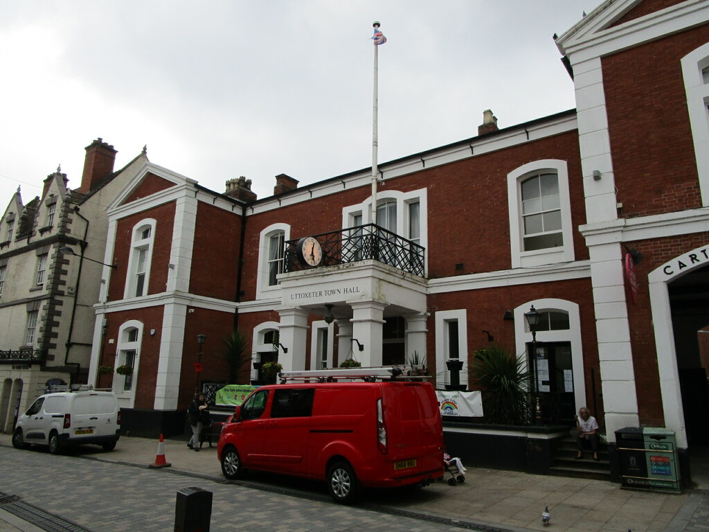
Uttoxeter Town Hall

Uttoxeter Town Hall is a municipal building in the High Street, Uttoxeter, Staffordshire, England. The structure, which serves as the meeting place of...

Nearby Amenities

Located within 500m of 52.890144,-1.88255
Pub
The Plough Inn
Addr City: Uttoxeter
Addr Postcode: ST14 8DW
Addr Street: Stafford Road
Fhrs Id: 1247977
Lat/Long: 52.890742/-1.8810466
Blount's Green
Is In: Uttoxeter
Place: hamlet
Lat/Long: 52.8903222/-1.8801592
Addr Country: GB
Addr Housename: The Dearndales
Source: survey (sign at end of driveway);Bing
Lat/Long: 52.8901957/-1.8880301
Bus Stop
Stafford Road
Bus: yes
Naptan AtcoCode: 3800C311101
Naptan NaptanCode: stadatdp
Public Transport: platform
Lat/Long: 52.8914964/-1.8761663
Bus Stop
Stafford Road
Bus: yes
Naptan AtcoCode: 3800C311100
Naptan NaptanCode: stadatdm
Public Transport: platform
Lat/Long: 52.8916979/-1.8765982
Bus Stop
The Plough Inn PH
Public Transport: platform
Lat/Long: 52.8908232/-1.8813765
Bus Stop
The Plough Inn PH
Naptan AtcoCode: 3800C336102
Public Transport: platform
Lat/Long: 52.8907626/-1.8813349
Power: transformer
Lat/Long: 52.8915737/-1.8765979
Public Bookcase
Micro Library
Booth: K6
Colour: red
Disused Amenity: telephone
Man Made: telephone_box
Public Bookcase Type: phone_box
Lat/Long: 52.8916064/-1.8765295
Post Box
Post Box Type: lamp
Royal Cypher: EIIR
Royal Cypher Wikidata: Q33102113
Lat/Long: 52.8915992/-1.8764893
The data included in this document is from www.openstreetmap.org. The data is made available under ODbL.

Have you been to Blount's Green?

Leave your review of Blount's Green below (or comments, questions and feedback).