Blowers Green

Settlement in Staffordshire

England

Blowers Green

Ashenhurst Road The view down Ashenhurst Road on the Russell's Hall Estate in Dudley.
Ashenhurst Road Credit: Gordon Griffiths

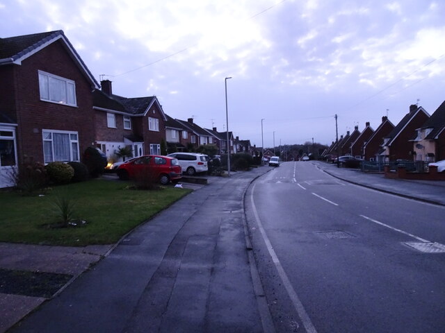
Blowers Green is a small village located in the county of Staffordshire, England. Situated in the West Midlands region, it is part of the district of Cannock Chase. The village is nestled amidst picturesque landscapes and is surrounded by lush green fields and woodlands.

Blowers Green has a population of around 500 residents, making it a close-knit community where neighbors often know each other. The village primarily consists of residential properties, with a few local businesses and amenities available for the convenience of its residents.

The village is known for its tranquil and peaceful atmosphere, making it an ideal place for those seeking a calm and laid-back lifestyle. The surrounding natural beauty provides ample opportunities for outdoor activities such as hiking, cycling, and fishing. The nearby Cannock Chase Forest is a popular attraction for both locals and tourists, offering scenic walking trails and wildlife spotting.

Blowers Green benefits from its proximity to larger towns such as Cannock and Stafford. This allows residents to access a wider range of amenities, including shopping centers, restaurants, and entertainment facilities. The village also has good transportation links, with regular bus services connecting it to nearby towns and cities.

Overall, Blowers Green offers a charming rural setting with a strong sense of community. Its idyllic location and access to nearby amenities make it an attractive place to reside for those seeking a peaceful countryside lifestyle.

If you have any feedback on the listing, please let us know in the comments section below.

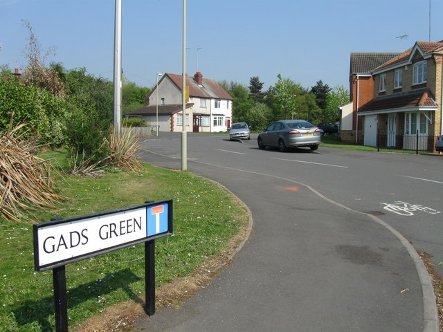
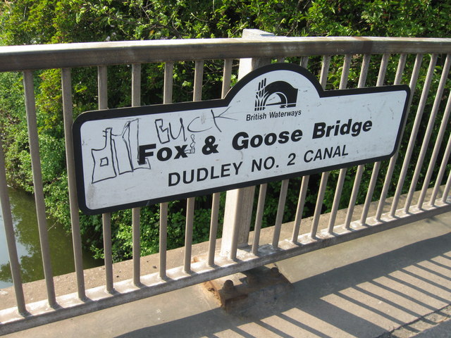
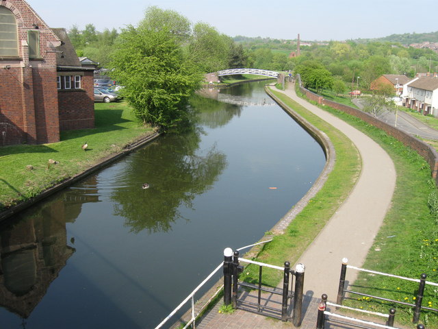
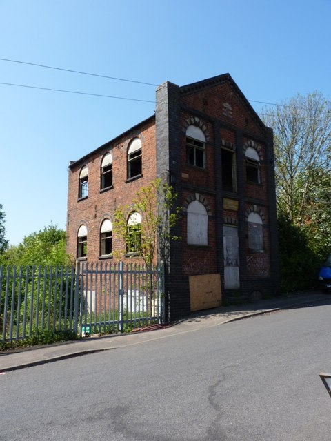
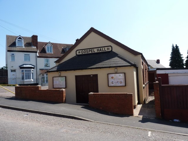
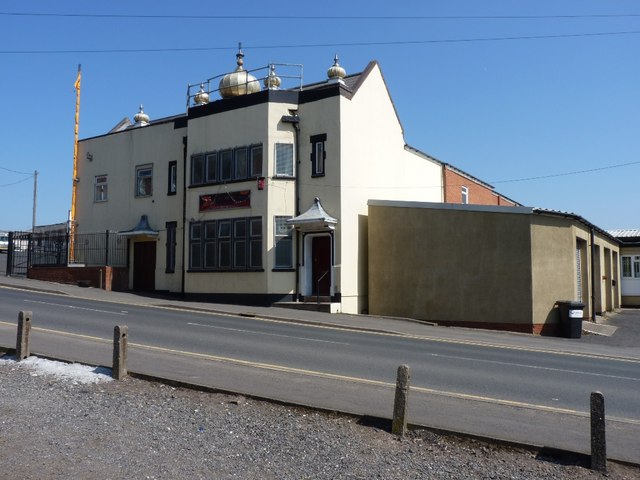
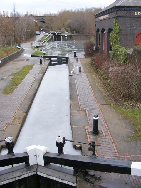
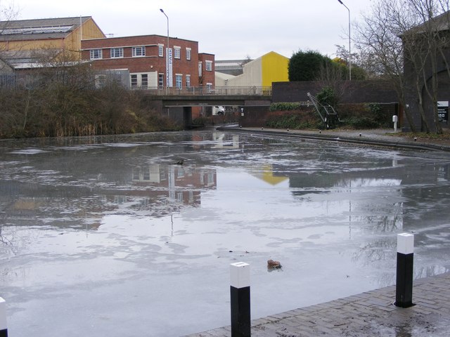
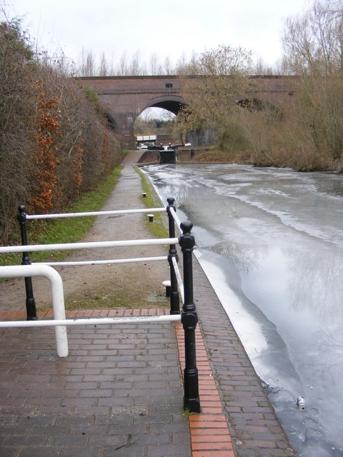
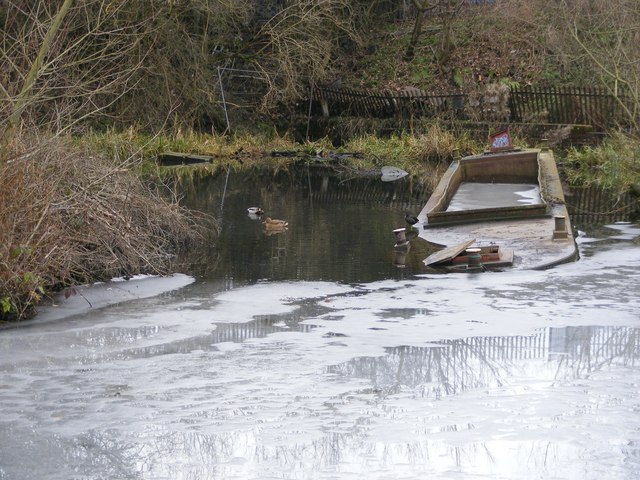
Blowers Green Images

Images are sourced within 2km of 52.503335/-2.091307 or Grid Reference SO9389. Thanks to Geograph Open Source API. All images are credited.

Ashenhurst Road The view down Ashenhurst Road on the Russell's Hall Estate in Dudley.
Ashenhurst Road
The view down Ashenhurst Road on the Russell's Hall Estate in Dudley.
Ashenhurst Road View The view up Ashenhurst Road on the Russell's Hall Estate in Dudley.
Ashenhurst Road View
The view up Ashenhurst Road on the Russell's Hall Estate in Dudley.
Cobb's Engine House A view of the scheduled ancient monument, one of the earliest pumps. Due to a fault (geological) the mine here produced vast quantities of water. This engine pumped it into the canal. The overgrown spoil heap is to the right. 
The mine produced coal and fireclay (seat earth).
Cobb's Engine House
A view of the scheduled ancient monument, one of the earliest pumps. Due to a fault (geological) the mine here produced vast quantities of water. This engine pumped it into the canal. The overgrown spoil heap is to the right. The mine produced coal and fireclay (seat earth).
Cobb's Engine House A view of the schedules ancient monument, one of the earliest pumps. Due to a fault (geological) the mine here produced vast quantities of water. This engine pumped it into the canal. The overgrown spoil heap is to the right.
The mine produced coal and fireclay (seat earth).
<a href="https://www.geograph.org.uk/photo/2324610">SO9588 : Cobb's Engine House</a>
Cobb's Engine House
A view of the schedules ancient monument, one of the earliest pumps. Due to a fault (geological) the mine here produced vast quantities of water. This engine pumped it into the canal. The overgrown spoil heap is to the right. The mine produced coal and fireclay (seat earth). SO9588 : Cobb's Engine House
Netherton Canal Tunnel The last tunnel built at a cost of over £300,000 it opened on the 20th of August 1858. It was built with two tow paths and wide enough for two boats. Thus it eased congestion in the narrow Dudley tunnel that had to be legged through. It's over 2.5km long, straight and now unlit. Take a torch!

<a href="https://www.geograph.org.uk/photo/2324578">SO9690 : Netherton Tunnel</a> <a href="https://www.geograph.org.uk/photo/2324567">SO9690 : Netherton Tunnel</a> <a href="https://www.geograph.org.uk/photo/2324592">SO9689 : Netherton Tunnel</a> <a href="https://www.geograph.org.uk/photo/2324587">SO9689 : Netherton Tunnel</a> <a href="https://www.geograph.org.uk/photo/2324559">SO9690 : Netherton Tunnel</a>
Netherton Canal Tunnel
The last tunnel built at a cost of over £300,000 it opened on the 20th of August 1858. It was built with two tow paths and wide enough for two boats. Thus it eased congestion in the narrow Dudley tunnel that had to be legged through. It's over 2.5km long, straight and now unlit. Take a torch! SO9690 : Netherton Tunnel SO9690 : Netherton Tunnel SO9689 : Netherton Tunnel SO9689 : Netherton Tunnel SO9690 : Netherton Tunnel
Gads Green, Sandwell
Fox & Goose bridge, Dudley No 2 Canal
Dudley No 2 Canal
Dudley No 2 Canal
W Devenport & Sons, Clothing Manufacturers The former premises of the business of that name, built in 1866, but clearly no longer in use, and looking ripe for demolition or redevelopment. This is on Churchfield Street, opposite Brooke Street.
W Devenport & Sons, Clothing Manufacturers
The former premises of the business of that name, built in 1866, but clearly no longer in use, and looking ripe for demolition or redevelopment. This is on Churchfield Street, opposite Brooke Street.
Dudley Gospel Hall, Hellier Street Located at the junction of Birmingham Street with Castle Hill
Dudley Gospel Hall, Hellier Street
Located at the junction of Birmingham Street with Castle Hill
The Dudley Gurdwara  - Guru Teg Bahadur Sahib The Sikh temple on the corner of Vicar Street and Church Street, Dudley.
The Dudley Gurdwara - Guru Teg Bahadur Sahib
The Sikh temple on the corner of Vicar Street and Church Street, Dudley.
Frozen Locks The view of the Park Head Junction from Peartree Lane, Dudley.
Frozen Locks
The view of the Park Head Junction from Peartree Lane, Dudley.
Frozen Canal The view of the basin at Park Head Junction off Peartree Lane, Dudley.
Frozen Canal
The view of the basin at Park Head Junction off Peartree Lane, Dudley.
Frozen Canal View The view of the canal at Park Head Junction off Peartree Lane, Dudley.
Frozen Canal View
The view of the canal at Park Head Junction off Peartree Lane, Dudley.
Frozen Barge The view of the canal at Park Head Junction off Peartree Lane, Dudley.
Frozen Barge
The view of the canal at Park Head Junction off Peartree Lane, Dudley.
Viaduct Lock The view of the locks at Park Head Viaduct at the junction of Dudley No 1 and No 2 canal off Peartree Lane.
Viaduct Lock
The view of the locks at Park Head Viaduct at the junction of Dudley No 1 and No 2 canal off Peartree Lane.
Lock View The view of Park Head Lock on the Dudley No1 Canal.
Lock View
The view of Park Head Lock on the Dudley No1 Canal.
Dudley Heron The view at Park Head Lock of Dudley No 1 Canal.
Dudley Heron
The view at Park Head Lock of Dudley No 1 Canal.
Show me another place!

Blowers Green is located at Grid Ref: SO9389 (Lat: 52.503335, Lng: -2.091307)

Unitary Authority: Dudley

Police Authority: West Midlands

What 3 Words

///repair.nest.duck. Near Dudley, West Midlands

Related Wikis

Netherton railway station (Dudley)

Netherton railway station served the town of Netherton, Dudley, England, from 1852 to 1878 on the Oxford, Worcester and Wolverhampton Railway. == History... ==

Blowers Green railway station

Blowers Green railway station was a station on the Oxford-Worcester-Wolverhampton Line in Dudley, West Midlands, England. == History == It was opened in...

Dudley

Dudley ( DUD-lee, locally [ˈdʊdləi̯]) is a market town in the West Midlands, England, 6 miles (9.7 km) southeast of Wolverhampton and 8 miles (13 km) northwest...

Church of St Thomas, Dudley

The Church of Saint Thomas is a Grade II* listed Church of England Anglican parish church in Dudley in the West Midlands County of England. Known locally...

County Borough of Dudley

The County Borough of Dudley was a local government district in the English Midlands from 1865 to 1974. Originally a municipal borough, it became a county...

Archdeacon of Worcester

The Archdeacon of Worcester is a senior clergy position in the Diocese of Worcester in the Church of England. Among the archdeacon's responsibilities is...
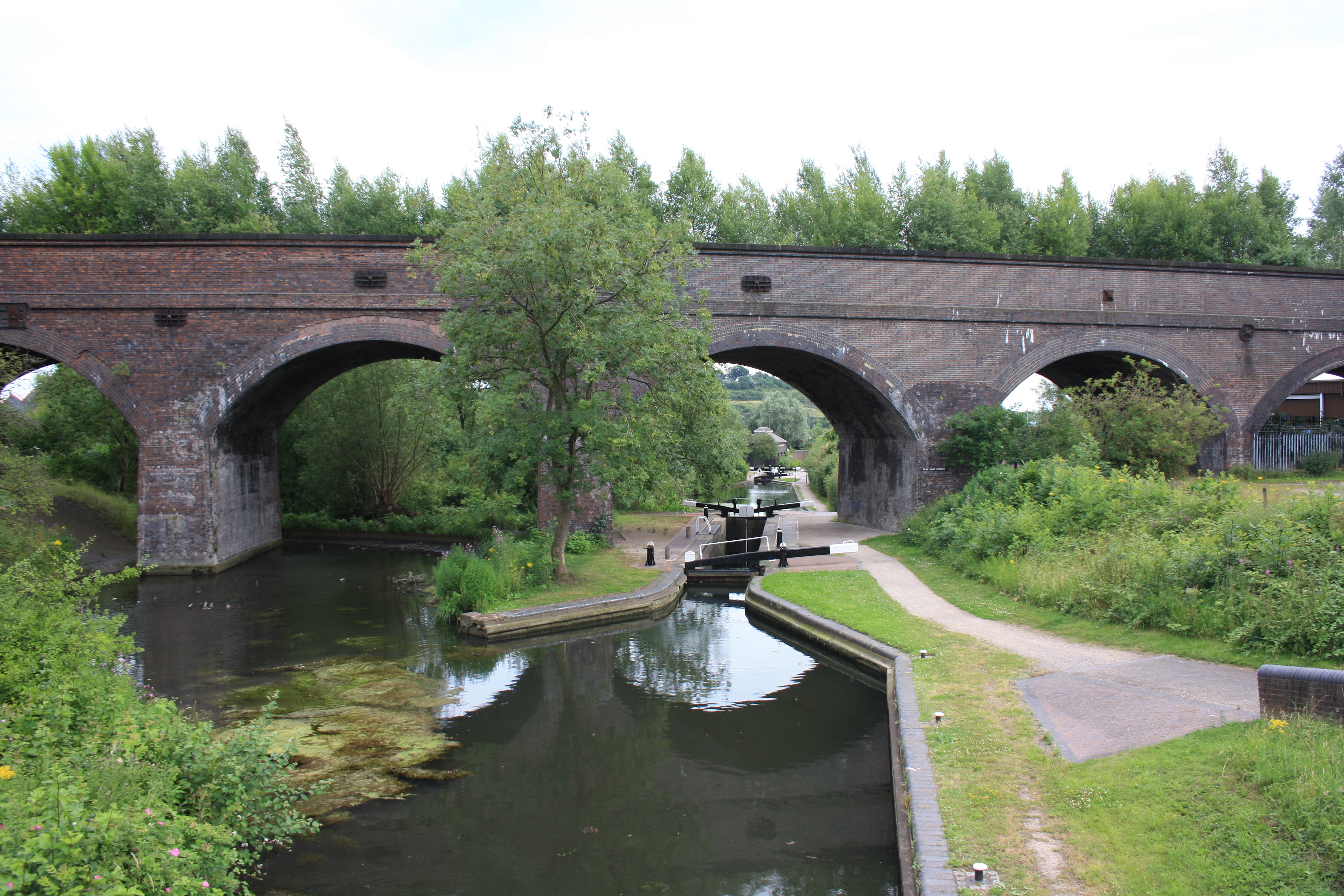
Parkhead Viaduct

Parkhead Viaduct is a railway viaduct in Dudley, West Midlands, England. The original viaduct was a wooden structure erected in 1850 to carry the Oxford...

Buffery Park

Buffery Park is a park of the Metropolitan Borough of Dudley, in the Paradise area of Dudley, West Midlands, England. It has a range of leisure facilities...

Nearby Amenities

Located within 500m of 52.503335,-2.091307
Crossing
Button Operated: yes
Crossing: traffic_signals
Crossing Island: no
Crossing Markings: dots
Crossing Signals: yes
Source: bing
Tactile Paving: yes
Lat/Long: 52.5004333/-2.0919704
Bus Stop
Blowers Green Rd / Claughton Centre
Bus: yes
Naptan AtcoCode: 43008708001
Naptan Bearing: SW
Naptan BusStopType: MKD
Naptan CommonName: Claughton Centre
Naptan Indicator: opp
Naptan NaptanCode: nwmtjtwm
Naptan PlusbusZoneRef: BHAMNWS
Naptan Status: ACT
Naptan StopType: BCT
Naptan Street: BLOWERS GREEN RD
Naptan Towards: Netherton, Merry Hill
Naptan Verified: no
Public Transport: platform
Route Ref: 243;X96
Source: WMCA
Lat/Long: 52.5059196/-2.0910363
Bus Stop
Blowers Green Rd / Claughton Centre
Bus: yes
Naptan AtcoCode: 43008708002
Naptan Bearing: N
Naptan BusStopType: MKD
Naptan CommonName: Claughton Centre
Naptan Indicator: adj
Naptan NaptanCode: nwmtjtwp
Naptan PlusbusZoneRef: BHAMNWS
Naptan Status: ACT
Naptan StopType: BCT
Naptan Street: BLOWERS GREEN RD
Naptan Towards: Dudley
Naptan Verified: no
Public Transport: platform
Route Ref: 243
Source: WMCA
Lat/Long: 52.5062162/-2.09114
Bus Stop
Queens Cross / Scotts Green Cemetery
NaPTANAreaCode: 43008718002
Bus: yes
Naptan AtcoCode: 43008718002
Naptan Bearing: NE
Naptan BusStopType: MKD
Naptan CommonName: Scotts Green Cemetery
Naptan Indicator: opp
Naptan NaptanCode: nwmpmptd
Naptan PlusbusZoneRef: BHAMNWS
Naptan Status: ACT
Naptan StopType: BCT
Naptan Street: QUEENS CROSS
Naptan Towards: Dudley
Public Transport: platform
Route Ref: 226;246;X96
Shelter: yes
Shelter Ref: 405440
Source: WMCA
Lat/Long: 52.5059971/-2.093644
Bus Stop
Stourbridge Rd / Wellington Rd
NaPTANAreaCode: 43000870401
Bus: yes
Naptan AtcoCode: 43000870401
Naptan Bearing: SW
Naptan BusStopType: MKD
Naptan CommonName: Wellington Rd
Naptan Indicator: opp
Naptan Landmark: Scott`s Green Cemetary
Naptan NaptanCode: nwmpadwg
Naptan PlusbusZoneRef: BHAMNWS
Naptan Status: ACT
Naptan StopType: BCT
Naptan Street: STOURBRIDGE RD
Naptan Towards: Russells Hall Hospital
Naptan Verified: no
Public Transport: platform
Route Ref: 226;246
Shelter: yes
Shelter Ref: 405439
Source: WMCA
Lat/Long: 52.5052892/-2.096584
Bus Stop
Blowers Green Rd / Gammage St
NaPTANAreaCode: 43000870701
Bus: yes
Naptan AtcoCode: 43000870701
Naptan Bearing: S
Naptan BusStopType: MKD
Naptan CommonName: Gammage St
Naptan Indicator: opp
Naptan NaptanCode: nwmpagad
Naptan PlusbusZoneRef: BHAMNWS
Naptan Status: ACT
Naptan StopType: BCT
Naptan Street: BLOWERS GREEN RD
Naptan Towards: Netherton, Merry Hill
Naptan Verified: no
Public Transport: platform
Route Ref: 243;X96
Shelter: yes
Shelter Ref: 405441
Source: WMCA
Lat/Long: 52.5027906/-2.0916044
Bus Stop
Blowers Green Rd / Gammage St
NaPTANAreaCode: 43000870702
Bus: yes
Naptan AtcoCode: 43000870702
Naptan Bearing: N
Naptan BusStopType: MKD
Naptan CommonName: Gammage St
Naptan Indicator: adj
Naptan NaptanCode: nwmpagag
Naptan PlusbusZoneRef: BHAMNWS
Naptan Status: ACT
Naptan StopType: BCT
Naptan Street: BLOWERS GREEN RD
Naptan Towards: Dudley
Naptan Verified: no
Public Transport: platform
Route Ref: 243
Shelter: yes
Shelter Ref: 405442
Source: WMCA
Lat/Long: 52.5029904/-2.0918479
Bus Stop
King St / Lamp Tavern
NaPTANAreaCode: 43000870801
Bus: yes
Naptan AtcoCode: 43000870801
Naptan Bearing: SW
Naptan BusStopType: MKD
Naptan CommonName: Lamp Tavern
Naptan Indicator: opp
Naptan NaptanCode: nwmpagaj
Naptan PlusbusZoneRef: BHAMNWS
Naptan Status: ACT
Naptan StopType: BCT
Naptan Street: KING ST
Naptan Towards: Netherton, Merry Hill
Naptan Verified: no
Public Transport: platform
Route Ref: 243;X96
Shelter: yes
Shelter Ref: 405445
Source: WMCA
Lat/Long: 52.5072789/-2.0896117
Bus Stop
Blowers Green Rd / Duncan Edwards Way
Bus: yes
Naptan AtcoCode: 43000883101
Naptan Bearing: S
Naptan BusStopType: MKD
Naptan CommonName: Duncan Edwards Way
Naptan Indicator: before
Naptan NaptanCode: nwmpampd
Naptan PlusbusZoneRef: BHAMNWS
Naptan Status: ACT
Naptan StopType: BCT
Naptan Street: BLOWERS GREEN RD
Naptan Towards: Netherton, Merry Hill
Naptan Verified: no
Public Transport: platform
Route Ref: 18, 8
Source: WMCA
Lat/Long: 52.5016581/-2.0912043
Bus Stop
Cinder Bank / Duncan Edwards Way
Bus: yes
Naptan AtcoCode: 43000883102
Naptan Bearing: N
Naptan BusStopType: MKD
Naptan CommonName: Duncan Edwards Way
Naptan Indicator: after
Naptan NaptanCode: nwmpampg
Naptan PlusbusZoneRef: BHAMNWS
Naptan Status: ACT
Naptan StopType: BCT
Naptan Street: CINDER BANK
Naptan Towards: Dudley
Naptan Verified: no
Public Transport: platform
Source: WMCA
Lat/Long: 52.5011152/-2.0913745
Post Box
Ref: DY2 127
Source: GPS Survey
Lat/Long: 52.5012968/-2.0848358
Traffic Signals
Source: bing
Traffic Signals Direction: forward
Lat/Long: 52.5074998/-2.0894159
Traffic Signals
Traffic Signals: signal
Traffic Signals Direction: forward
Lat/Long: 52.5018112/-2.0915287
Traffic Signals
Source: bing
Traffic Signals Direction: forward
Lat/Long: 52.5068531/-2.0910885
Old Dock
Place: locality
Lat/Long: 52.5075386/-2.0909254
Crossing
Button Operated: yes
Crossing: traffic_signals
Crossing Island: yes
Tactile Paving: yes
Lat/Long: 52.5075272/-2.0889982
Blowers Green
Place: locality
Source: OS_OpenData_StreetView
Lat/Long: 52.5043061/-2.0904714
Crossing
Button Operated: yes
Crossing: traffic_signals
Crossing Island: yes
Tactile Paving: yes
Lat/Long: 52.5075787/-2.0892169
Traffic Signals
Source: bing
Traffic Signals Direction: forward
Lat/Long: 52.5076108/-2.0892223
Traffic Signals
Traffic Signals: signal
Traffic Signals Direction: forward
Lat/Long: 52.5041504/-2.0918038
Traffic Signals
Traffic Signals: signal
Traffic Signals Direction: forward
Lat/Long: 52.5018459/-2.0913669
Crossing
Button Operated: yes
Crossing: traffic_signals
Crossing Island: no
Crossing Markings: dots
Crossing Signals: yes
Source: bing
Tactile Paving: yes
Lat/Long: 52.5003117/-2.0919349
Crossing
Button Operated: no
Crossing: traffic_signals
Crossing Island: no
Tactile Paving: yes
Lat/Long: 52.5069792/-2.0910171
Source: bing
Lat/Long: 52.5033012/-2.0917865
Traffic Signals
Lat/Long: 52.5054624/-2.0950929
Bronze Heroic Worker
Artist Name: Phillip Bews;Diane Gorvin
Artwork Type: statue
Image: http://www.bewsgorvin.co.uk/sculpture-slideshow/slides/founding2.jpg
Material: bronze
Note: Part of Dudley Millennium Sculpture Trail|
Source: http://www.bbc.co.uk/blackcountry/culture/2003/02/sculpture_tour/cinder_bank_island.shtml;http://www.bewsgorvin.co.uk/sculpture-founding.html
Start Date: circa 2000
Tourism: artwork
Type: statue
Lat/Long: 52.500445/-2.0909588
Fire Tower
Artist Name: Philip Bews;Diane Gorvin
Artwork Type: installation
Height: 6m
Material: steel
Note: Part of Dudley Millennium Sculpture Trail
Operator: Dudley Metropolitan Borough Council
Source: http://www.bbc.co.uk/blackcountry/culture/2003/02/sculpture_tour/cinder_bank_island.shtml;http://www.bewsgorvin.co.uk/sculpture-founding.html
Start Date: circa 2000
Tourism: artwork
Lat/Long: 52.5000181/-2.0906906
Traffic Signals
Source: bing
Traffic Signals Direction: forward
Lat/Long: 52.5067717/-2.0907928
Traffic Signals
Source: bing
Traffic Signals Direction: forward
Lat/Long: 52.5069947/-2.0906189
Traffic Signals
Source: bing
Traffic Signals Direction: forward
Lat/Long: 52.5070086/-2.091095
Traffic Signals
Source: bing
Traffic Signals Direction: forward
Lat/Long: 52.5074506/-2.0889487
Direction: forward
Railway: derail
Lat/Long: 52.5015194/-2.0889261
Crossing
Crossing: traffic_signals
Crossing Signals: yes
Source: bing
Lat/Long: 52.5017952/-2.0913505
Crossing
Crossing: traffic_signals
Crossing Signals: yes
Source: bing
Lat/Long: 52.5018587/-2.0915291
Traffic Signals
Lat/Long: 52.5055569/-2.0955612
Traffic Signals
Lat/Long: 52.5056777/-2.0949496
Traffic Signals
Lat/Long: 52.5057691/-2.0953198
Bus Stop
Peartree Lane / Blackbrook Iron Work
Bus: yes
Naptan AtcoCode: 43000883302
Naptan Bearing: NE
Naptan BusStopType: MKD
Naptan CommonName: Blackbrook Iron Work
Naptan Indicator: before
Naptan NaptanCode: nwmtdmaj
Naptan Status: ACT
Naptan StopType: BCT
Naptan Street: PEARTREE LANE
Public Transport: platform
Source: WMCA
Lat/Long: 52.4996415/-2.0937464
Bus Stop
Peartree Lane / Blackbrook Iron Work
Bus: yes
Naptan AtcoCode: 43000883301
Naptan Bearing: SW
Naptan BusStopType: MKD
Naptan CommonName: Blackbrook Iron Work
Naptan Indicator: after
Naptan NaptanCode: nwmtdmag
Naptan Status: ACT
Naptan StopType: BCT
Naptan Street: PEARTREE LANE
Public Transport: platform
Source: WMCA
Lat/Long: 52.4993534/-2.094335
Pub
Britannia Inn
Addr Housenumber: 18
Addr Postcode: DY1 1QU
Addr Street: Queen's Cross
Fhrs Id: 1052313
Source Addr: FHRS Open Data
Lat/Long: 52.5058307/-2.0936463
Crossing
Crossing: unmarked
Crossing Island: yes
Crossing Markings: no
Tactile Paving: yes
Lat/Long: 52.5075862/-2.0895834
Traffic Signals
Traffic Signals: crossing
Traffic Signals Direction: forward
Lat/Long: 52.5002943/-2.0918761
Traffic Signals
Traffic Signals: crossing
Traffic Signals Direction: forward
Lat/Long: 52.5004478/-2.0920393
Leisure: outdoor_seating
Lat/Long: 52.5013947/-2.0919037
Crossing
Crossing: zebra
Crossing Markings: yes
Lat/Long: 52.5011779/-2.0921203
Crossing
Tactile Paving: yes
Lat/Long: 52.501269/-2.0918564
Leisure: fitness_station
Sport: fitness
Lat/Long: 52.5015858/-2.0918062
Grit Bin
Lat/Long: 52.5025999/-2.0932631
Crossing
Lat/Long: 52.5014969/-2.0917284
Cinder Bank
Check Date: 2024-02-21
Construction: yes
Network: Midland Metro
Operator: TfWM
Phase: 2a
Public Transport: stop_position
Railway: tram_stop
Shelter: yes
Source: https://www.arcgis.com/apps/webappviewer/index.html?id=a9b68dab5c93475ea522c0aa3c5c5531&extent=-253220.6063%2C6878697.4661%2C-195128.4648%2C6913590.9695%2C102100
Tram: yes
Website: https://www.westmidlandsmetro.com
Lat/Long: 52.5009651/-2.0904677
Traffic Signals
Traffic Signals: signal
Traffic Signals Direction: forward
Lat/Long: 52.5040615/-2.0920295
Traffic Signals
Traffic Signals: signal
Traffic Signals Direction: backward
Lat/Long: 52.503934/-2.0918419
Crossing
Crossing: traffic_signals
Crossing Island: no
Tactile Paving: yes
Lat/Long: 52.5041104/-2.0918112
Crossing
Crossing: traffic_signals
Crossing Island: yes
Tactile Paving: yes
Lat/Long: 52.5039491/-2.091989
Crossing
Crossing: traffic_signals
Crossing Island: yes
Tactile Paving: yes
Lat/Long: 52.504049/-2.0919609
Entrance: main
Lat/Long: 52.5049229/-2.0912204
Entrance: main
Lat/Long: 52.5047731/-2.0910897
Man Made: chimney
Lat/Long: 52.5017639/-2.0889117
Man Made: chimney
Lat/Long: 52.5018523/-2.088695
Traffic Signals
Traffic Signals: signal
Traffic Signals Direction: forward
Lat/Long: 52.5038522/-2.0850566
Traffic Signals
Traffic Signals: signal
Traffic Signals Direction: backward
Lat/Long: 52.5032146/-2.0848415
Entrance: main
Lat/Long: 52.5023895/-2.0873028
Car Wash
Mr Shine Hand Car Wash
Lat/Long: 52.5017425/-2.0894379
Man Made: silo
Lat/Long: 52.5048456/-2.0882341
Man Made: silo
Lat/Long: 52.5042782/-2.0877713
Man Made: crane
Lat/Long: 52.5042859/-2.0879509
Man Made: chimney
Lat/Long: 52.5049179/-2.0870103
Man Made: chimney
Lat/Long: 52.5050951/-2.0872117
Man Made: chimney
Lat/Long: 52.5050109/-2.0872724
Man Made: chimney
Lat/Long: 52.50505/-2.0876654
Grit Bin
Lat/Long: 52.5054215/-2.0871917
Barrier: bollard
Lat/Long: 52.5043891/-2.0873382
Barrier: bollard
Lat/Long: 52.5043661/-2.0873423
Barrier: bollard
Lat/Long: 52.5043443/-2.087373
Barrier: bollard
Lat/Long: 52.5042456/-2.0875543
Barrier: bollard
Lat/Long: 52.5042634/-2.0875221
Barrier: bollard
Lat/Long: 52.50428/-2.087492
Barrier: bollard
Lat/Long: 52.5042953/-2.0874642
Barrier: bollard
Lat/Long: 52.5043098/-2.0874379
Barrier: bollard
Lat/Long: 52.504328/-2.0874049
Barrier: bollard
Lat/Long: 52.5044087/-2.0873495
Man Made: silo
Lat/Long: 52.505741/-2.0881234
Man Made: chimney
Lat/Long: 52.5057443/-2.0882227
Waste Basket
Lat/Long: 52.5065713/-2.0881748
Leisure: outdoor_seating
Lat/Long: 52.5065904/-2.0903407
Leisure: outdoor_seating
Lat/Long: 52.506746/-2.0905854
Entrance: main
Lat/Long: 52.5071232/-2.0899739
Powell Electrical
Shop: electrical
Lat/Long: 52.5072427/-2.0890173
Crossing
Button Operated: yes
Crossing: traffic_signals
Crossing Island: yes
Tactile Paving: yes
Lat/Long: 52.5074481/-2.08898
Crossing
Crossing Island: yes
Tactile Paving: yes
Lat/Long: 52.5068999/-2.0905902
Crossing
Button Operated: no
Crossing: traffic_signals
Crossing Island: yes
Tactile Paving: yes
Lat/Long: 52.5068144/-2.0908078
Crossing
Button Operated: no
Crossing: traffic_signals
Crossing Island: yes
Tactile Paving: yes
Lat/Long: 52.5068249/-2.090977
Crossing
Button Operated: no
Crossing: traffic_signals
Crossing Island: yes
Tactile Paving: yes
Lat/Long: 52.5068733/-2.0910447
Bench
Lat/Long: 52.5049177/-2.0844349
The data included in this document is from www.openstreetmap.org. The data is made available under ODbL.

Have you been to Blowers Green?

Leave your review of Blowers Green below (or comments, questions and feedback).