Balance Hill
Settlement in Staffordshire East Staffordshire
England
Balance Hill
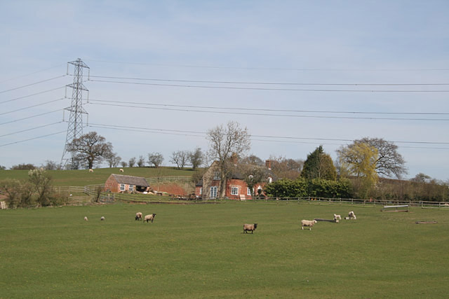
Balance Hill is a small residential area located in Staffordshire, England. Situated on the outskirts of the market town of Leek, Balance Hill offers a peaceful and picturesque setting amidst the rolling hills and lush green landscapes of the Staffordshire Moorlands.
The area is primarily characterized by its traditional stone-built houses and cottages, which add to the charm and character of the place. Many of these properties date back several centuries, showcasing the rich history of the region. The streets are lined with well-maintained gardens, and the overall atmosphere is one of tranquility.
Balance Hill is surrounded by stunning natural beauty, making it an ideal location for nature enthusiasts and outdoor lovers. The nearby Peak District National Park offers a myriad of hiking trails, cycling routes, and opportunities for exploring the great outdoors. Moreover, the area is home to several picturesque villages, such as Cheddleton and Rudyard, where visitors can discover quaint pubs, local shops, and historic landmarks.
Residents of Balance Hill enjoy a close-knit community atmosphere, with various social events organized throughout the year. There are also amenities nearby, including schools, shops, and recreational facilities, ensuring that residents have easy access to everyday necessities.
In summary, Balance Hill offers a blend of history, natural beauty, and community spirit. Whether it's exploring the stunning countryside or immersing oneself in the local culture, this Staffordshire gem has something to offer for everyone.
If you have any feedback on the listing, please let us know in the comments section below.
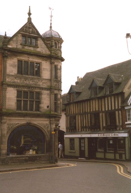
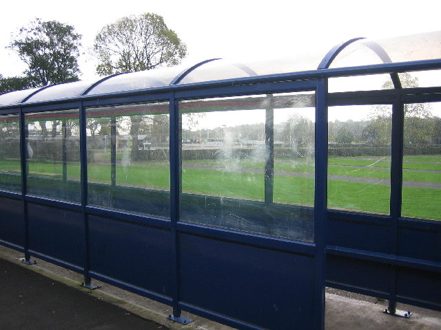
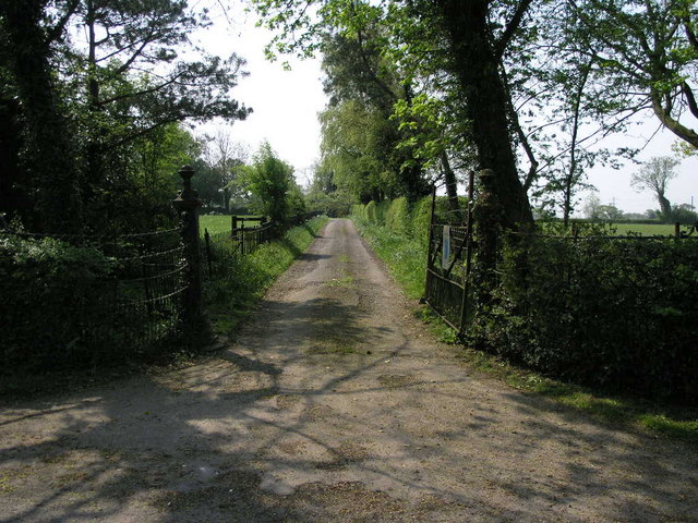
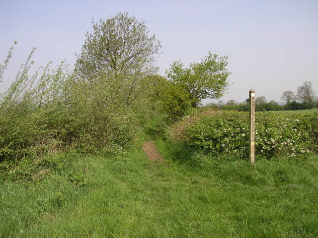
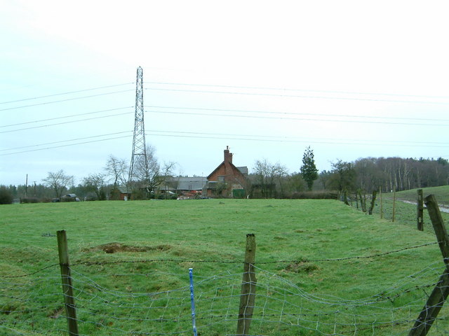
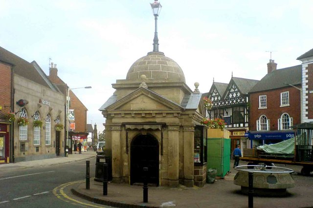
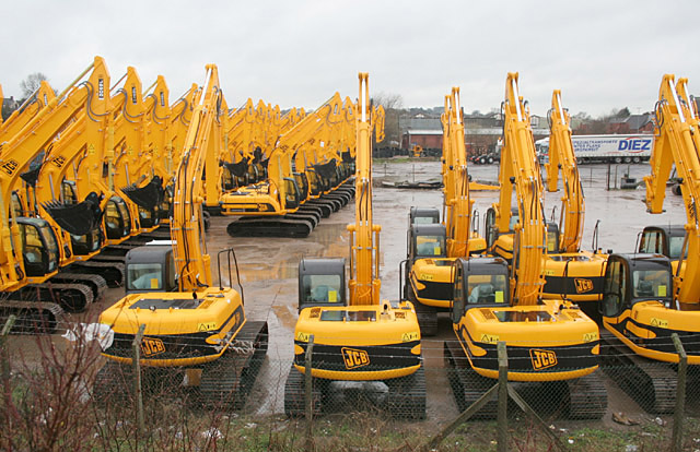
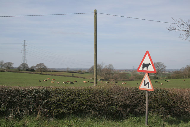
Balance Hill Images
Images are sourced within 2km of 52.894088/-1.871539 or Grid Reference SK0832. Thanks to Geograph Open Source API. All images are credited.


Balance Hill is located at Grid Ref: SK0832 (Lat: 52.894088, Lng: -1.871539)
Administrative County: Staffordshire
District: East Staffordshire
Police Authority: Staffordshire
What 3 Words
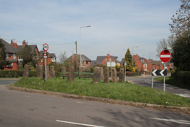
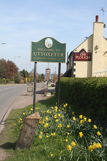
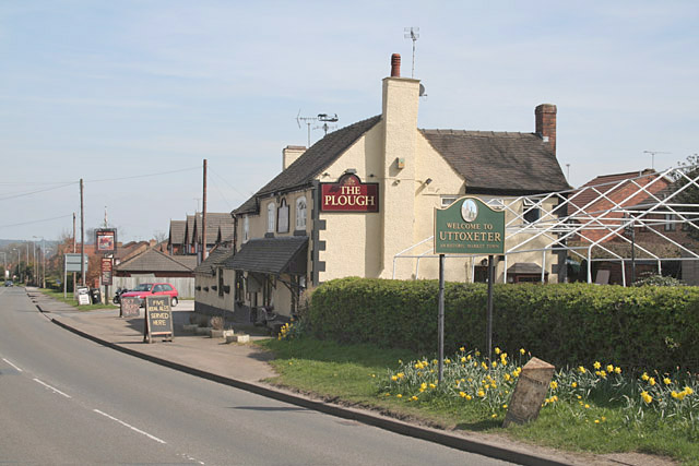
///ants.clinking.bother. Near Uttoxeter, Staffordshire
Nearby Locations
Related Wikis

St Mary's Catholic Church, Uttoxeter
St Mary's Catholic Church is a Roman Catholic church in Uttoxeter, Staffordshire, United Kingdom. It opened in 1839; to avoid confusion with the other...

Oldfields Ground
Oldfields Ground is a cricket ground in Uttoxeter, Staffordshire. The first recorded match on the ground was in 1905, when Staffordshire played Bedfordshire...
Uttoxeter Town F.C.
Uttoxeter Town F.C. is an English football club based in Uttoxeter, Staffordshire. They currently play in the North West Counties League Division One...
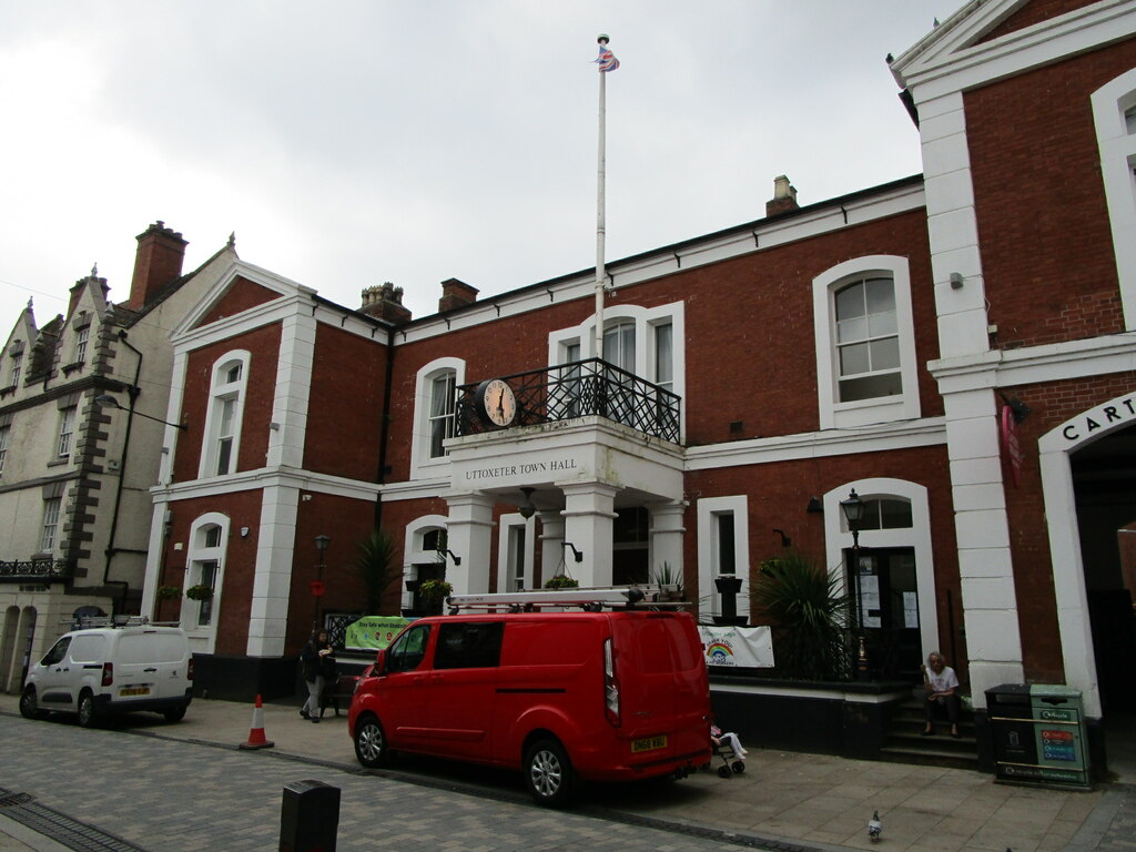
Uttoxeter Town Hall
Uttoxeter Town Hall is a municipal building in the High Street, Uttoxeter, Staffordshire, England. The structure, which serves as the meeting place of...
St Mary the Virgin Church, Uttoxeter
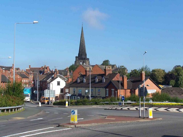
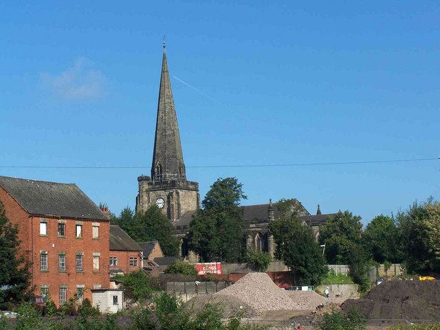
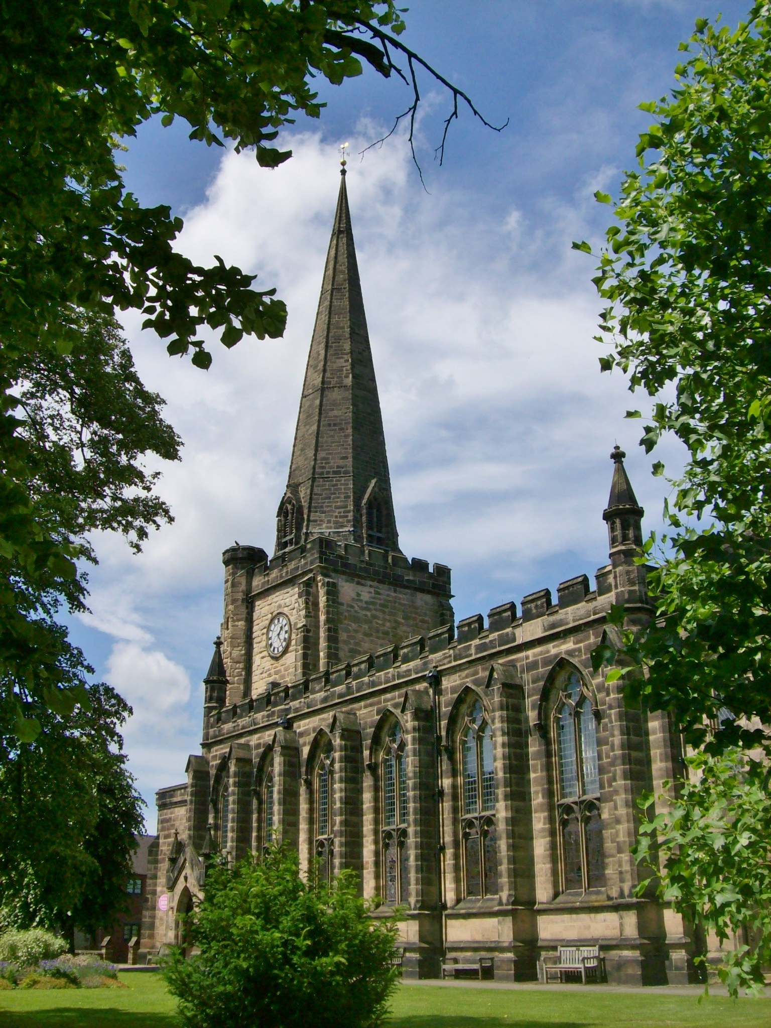
St Mary the Virgin's Church, Uttoxeter, commonly called simply St Mary's, is the parish church of the town of Uttoxeter, Staffordshire, England. Its tower...

Uttoxeter
Uttoxeter ( yoo-TOK-sit-ər, locally also UUTCH-it-ər) is a market town and civil parish in East Staffordshire, England, near to the Derbyshire county...
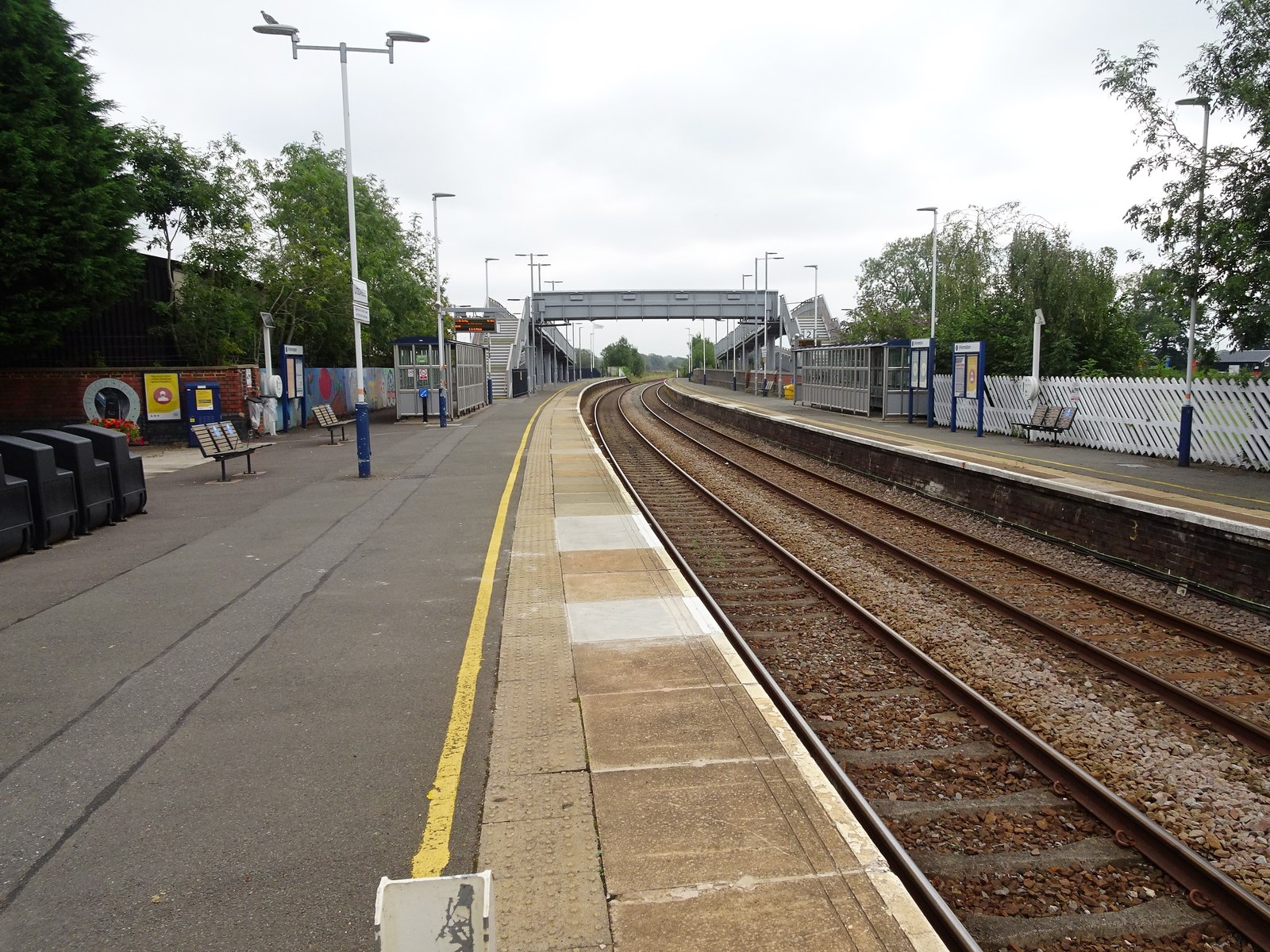
Uttoxeter railway station
Uttoxeter railway station () serves the town of Uttoxeter, Staffordshire, England. It is on the Crewe–Derby line, which is also a Community rail line known...
Thomas Alleyne's High School
Thomas Alleyne's High School (TAHS) is a coeducational upper school and sixth form located in Uttoxeter, Staffordshire, England. It is one of three schools...
Nearby Amenities
Located within 500m of 52.894088,-1.871539Have you been to Balance Hill?
Leave your review of Balance Hill below (or comments, questions and feedback).