Balaclava

Settlement in Glamorgan
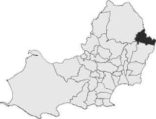
Wales

Balaclava

Church and Refinery at Clydach The chimney stack of the nickel refinery dominates the town of Clydach near Swansea. Here it can be seen to the south of a church in the middle of town.
Church and Refinery at Clydach Credit: Nigel Davies

Balaclava is a small village located in the county of Glamorgan, Wales. It is situated in the southern part of the country, near the coast of the Bristol Channel. The village is part of the larger community of Penarth, which is known for its scenic beauty and rich history.

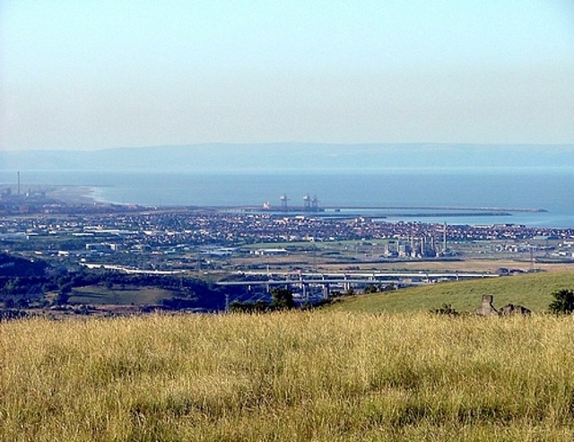
Balaclava, with its picturesque setting, offers stunning views of the surrounding countryside and the nearby sea. The village is characterized by its quaint charm and peaceful atmosphere, making it an ideal place for those seeking a tranquil retreat. The area is dotted with beautiful traditional cottages and well-maintained gardens, adding to its overall appeal.

Despite its small size, Balaclava boasts a close-knit community that takes great pride in preserving the village's heritage. The residents actively participate in local events and initiatives, fostering a strong sense of belonging and community spirit. The village also has a few amenities, including a local pub and a small convenience store, catering to the daily needs of its inhabitants.

One of the highlights of Balaclava is its proximity to various natural attractions. The stunning coastline offers opportunities for scenic walks and beachcombing, while the nearby countryside is perfect for hiking and exploring. Additionally, the village is within easy reach of popular tourist destinations such as Cardiff, where visitors can explore historical sites, cultural landmarks, and vibrant nightlife.

In conclusion, Balaclava is a charming village in Glamorgan, Wales, known for its idyllic setting, close-knit community, and access to natural beauty. It is a place where residents and visitors can enjoy a peaceful and relaxing lifestyle, while still having easy access to larger urban centers and tourist attractions.

If you have any feedback on the listing, please let us know in the comments section below.
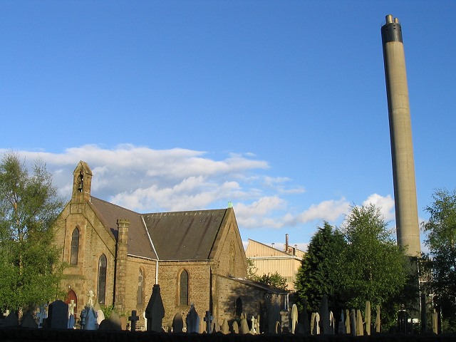
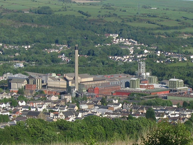
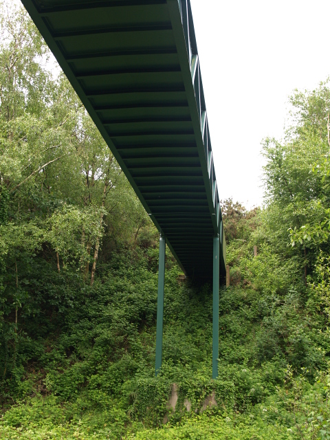
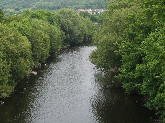
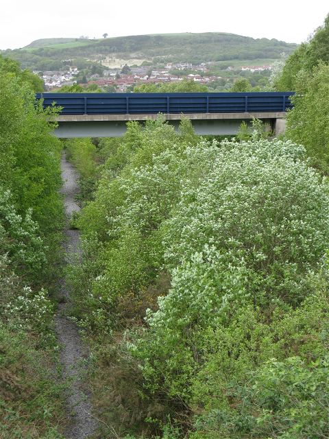
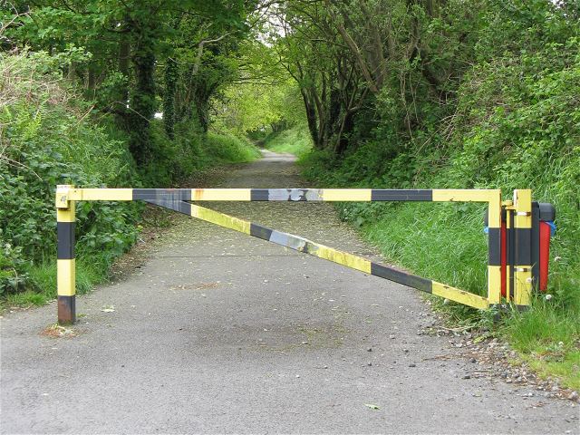
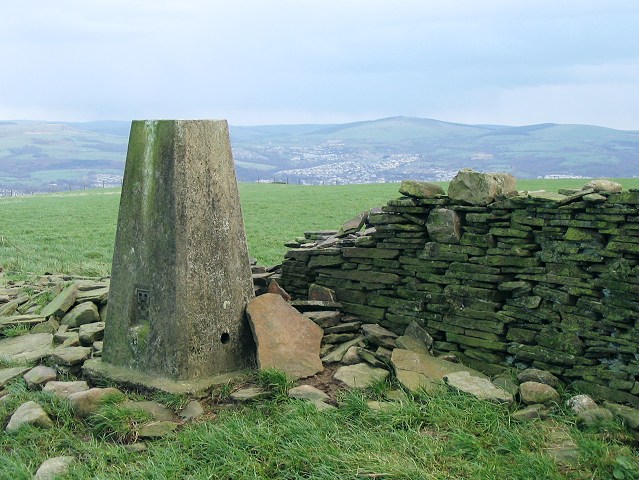
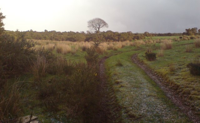
Balaclava Images

Images are sourced within 2km of 51.687267/-3.873513 or Grid Reference SN7000. Thanks to Geograph Open Source API. All images are credited.

Church and Refinery at Clydach The chimney stack of the nickel refinery dominates the town of Clydach near Swansea. Here it can be seen to the south of a church in the middle of town.
Church and Refinery at Clydach
The chimney stack of the nickel refinery dominates the town of Clydach near Swansea. Here it can be seen to the south of a church in the middle of town.
Clydach Refinery seen from above Here is a view of the Inco nickel refinery as seen from the trail up Mynydd Gelliwastad.
Clydach Refinery seen from above
Here is a view of the Inco nickel refinery as seen from the trail up Mynydd Gelliwastad.
Footbridge, Glais The footpath crosses the line of an old railway below.
Footbridge, Glais
The footpath crosses the line of an old railway below.
River Tawe, near Glais Looking upstream, taken from the A4067 bridge.
River Tawe, near Glais
Looking upstream, taken from the A4067 bridge.
Dismantled railway to Clydach tinplate works As seen from <a href="https://www.geograph.org.uk/photo/831194">SN6900 : Footbridge, Glais</a>
The OS have recently updated their maps to remove the rails from this line but the tree growth suggests they have been gone for much longer. The cutting is wide enough for two tracks and there are now two worn paths side by side along the course.
The visible bridge is part of the more recently built A4067.
Dismantled railway to Clydach tinplate works
As seen from SN6900 : Footbridge, Glais The OS have recently updated their maps to remove the rails from this line but the tree growth suggests they have been gone for much longer. The cutting is wide enough for two tracks and there are now two worn paths side by side along the course. The visible bridge is part of the more recently built A4067.
North end of closed Garth Road Garth road has taken a beating from redevelopments. The new A4067 (bridge pictured in <a href="https://www.geograph.org.uk/photo/1332663">SN6900 : Dismantled railway to Clydach tinplate works</a>) isolated the north end of this road so it has been blocked off. It seems to be used mainly by dog walkers - hence the red bin - and presumably the farmer can still open the gate for access to fields.
North end of closed Garth Road
Garth road has taken a beating from redevelopments. The new A4067 (bridge pictured in SN6900 : Dismantled railway to Clydach tinplate works) isolated the north end of this road so it has been blocked off. It seems to be used mainly by dog walkers - hence the red bin - and presumably the farmer can still open the gate for access to fields.
End of the road The decent tarmac of Garth Road ends here and a narrow footpath descends to a new footbridge allowing circuitous access to Clydach.
End of the road
The decent tarmac of Garth Road ends here and a narrow footpath descends to a new footbridge allowing circuitous access to Clydach.
Viewing stand - or bus stop shelter? From a distance, it seems that some new viewing shelters have been built on each side of the rugby pitch here.

Closer inspection indeed revealed that these stands *were* re-purposed bus stop shelters complete with their now non-functioning matrix display boards (inside) and a current timetable stating that the bus stop gave times from Swansea Railway Station.

One suspects that you'd be waiting a long time here if you wanted to catch the 17 the Gowerton or the 24 to Moriston Hospital...
Viewing stand - or bus stop shelter?
From a distance, it seems that some new viewing shelters have been built on each side of the rugby pitch here. Closer inspection indeed revealed that these stands *were* re-purposed bus stop shelters complete with their now non-functioning matrix display boards (inside) and a current timetable stating that the bus stop gave times from Swansea Railway Station. One suspects that you'd be waiting a long time here if you wanted to catch the 17 the Gowerton or the 24 to Moriston Hospital...
Swansea Canal overflows into Lower Clydach River Just don't ask what the water level is. 
The aqueduct here is also a handy overflow maintaining the level in the canal. The excess falls down into the Lower Clydach River just before it joins the Tawe.
Swansea Canal overflows into Lower Clydach River
Just don't ask what the water level is. The aqueduct here is also a handy overflow maintaining the level in the canal. The excess falls down into the Lower Clydach River just before it joins the Tawe.
Footbridge over River Tawe at Clydach This bridge allows access to the playing fields <a href="https://www.geograph.org.uk/photo/1445541">SN6900 : Viewing stand - or bus stop shelter?</a> on the other side of the river.
Footbridge over River Tawe at Clydach
This bridge allows access to the playing fields SN6900 : Viewing stand - or bus stop shelter? on the other side of the river.
Mineral line bridge over Tawe The dismantled mineral line that used to run into the Mond refinery (now the Inco works <a href="https://www.geograph.org.uk/photo/177129">SN6901 : Clydach Refinery seen from above</a>) is now blocked off at the works fence. You can still get on to the bridge to look at the river though.
Mineral line bridge over Tawe
The dismantled mineral line that used to run into the Mond refinery (now the Inco works SN6901 : Clydach Refinery seen from above) is now blocked off at the works fence. You can still get on to the bridge to look at the river though.
Dismantled mineral line crosses the dismantled Swansea Vale line The dismantled mineral line to the Mond refinery used to cross over the branch of the railway that ran up the west side of the Vale of Swansea where it crossed to join the east side branch at Glais.
Dismantled mineral line crosses the dismantled Swansea Vale line
The dismantled mineral line to the Mond refinery used to cross over the branch of the railway that ran up the west side of the Vale of Swansea where it crossed to join the east side branch at Glais.
Dismantled Swansea Vale railway heading east towards Glais This is the view looking east from on top of the bridge here <a href="https://www.geograph.org.uk/photo/1455056">SN6900 : Dismantled mineral line crosses the dismantled Swansea Vale line</a>
To the west this portion of the line disappears. It looks like the raised embankment forms a convenient stand to watch the games at the playing fields <a href="https://www.geograph.org.uk/photo/1445541">SN6900 : Viewing stand - or bus stop shelter?</a>
Dismantled Swansea Vale railway heading east towards Glais
This is the view looking east from on top of the bridge here SN6900 : Dismantled mineral line crosses the dismantled Swansea Vale line To the west this portion of the line disappears. It looks like the raised embankment forms a convenient stand to watch the games at the playing fields SN6900 : Viewing stand - or bus stop shelter?
St Mary's Church, Clydach
Trig pillar on Mynydd Drumau The top of this mountain is flat, wide farmland and this trig point is in the middle of it. It's no good for surveying the Swansea and Neath valleys directly either side of it, but you get a good view of the neighbouring hills.
Trig pillar on Mynydd Drumau
The top of this mountain is flat, wide farmland and this trig point is in the middle of it. It's no good for surveying the Swansea and Neath valleys directly either side of it, but you get a good view of the neighbouring hills.
Pylons at north end of Mynydd Drumau A straight line of pylons runs southwest from the north tip of Mynydd Drumau towards the Swansea Valley.
This photo was taken from just below the pylon (not pictured) where the lines turn east into the Neath valley.
Pylons at north end of Mynydd Drumau
A straight line of pylons runs southwest from the north tip of Mynydd Drumau towards the Swansea Valley. This photo was taken from just below the pylon (not pictured) where the lines turn east into the Neath valley.
Fields above Glais A large open field above the village of Glais. Cwm-cyrnach-uchaf farm can be seen to the left of the picture.  The square block on the horizon is the DVLA building.
Fields above Glais
A large open field above the village of Glais. Cwm-cyrnach-uchaf farm can be seen to the left of the picture. The square block on the horizon is the DVLA building.
Farm track near the top of Mynydd Drumau A farm track towards the top of Mynydd Drumau. There are several interesting ancient and not so ancient features nearby.
Farm track near the top of Mynydd Drumau
A farm track towards the top of Mynydd Drumau. There are several interesting ancient and not so ancient features nearby.
Show me another place!

Balaclava is located at Grid Ref: SN7000 (Lat: 51.687267, Lng: -3.873513)

Unitary Authority: Swansea

Police Authority: South Wales

What 3 Words

///news.dozens.overgrown. Near Clydach, Swansea

Related Wikis

Glais

Glais is a semi-rural village in Swansea, South Wales. Nant-y-Pal is a stream running through the middle of Glais. It divides the village into two electoral...

Glais (2nd) railway station

Glais railway station served the community of Glais in Swansea, Wales from 1885 to 1965 on the Swansea Vale Railway. == History == The station was opened...

Clydach (electoral ward)

Clydach is the name of an electoral ward (and a town) in the City and County of Swansea, Wales, UK. The electoral ward of Clydach consists of some or all...

Calfaria Chapel, Penygroes

Calfaria is a Baptist chapel in the village of Penygroes in the community of Llandybie, near Ammanford, Carmarthenshire. Services at Calfaria were conducted...

Clydach-on-Tawe railway station

Clydach-on-Tawe railway station served the community of Clydach and Ynystawe in Swansea, Wales from 1885 to 1965 on the Swansea Vale Railway. == History... ==

Mynydd Drumau

Mynydd Drumau (meaning "Mountain of the Ridges" in English) is a hill in south Wales lying on the border between Swansea and the county of Neath Port Talbot...

Birchgrove, Swansea

Birchgrove (Welsh: Y Gellifedw) is a suburb and community in Swansea, Wales, United Kingdom. It is situated about 4.5 miles (7 km) north-east of Swansea...

Lower Clydach River

The Lower Clydach River is a river in South Wales which rises on the slopes of Mynydd y Betws west of Cwmgors and flows for around 10 km through Cwm Clydach...

Nearby Amenities

Located within 500m of 51.687267,-3.873513
Bus Stop
Glais PO (SE)
Bus: yes
Naptan AtcoCode: 5810AWC52393
Naptan Bearing: SE
Naptan CommonName: Glais PO (SE)
Naptan Crossing: School Road
Naptan Landmark: Glais Post Office
Naptan NaptanCode: swagatp
Naptan ShortCommonName: Globe Inn
Naptan Street: Birchgrove Road
Naptan Verified: no
Public Transport: platform
Source: naptan_import
Lat/Long: 51.6887253/-3.8772068
Bus Stop
Glais PO (NW)
Bus: yes
Naptan AtcoCode: 5810AWC52394
Naptan Bearing: NW
Naptan CommonName: Glais PO (NW)
Naptan Crossing: School Road
Naptan Landmark: Glais Post Office
Naptan NaptanCode: swagatw
Naptan ShortCommonName: Globe Inn
Naptan Street: Birchgrove Road
Naptan Verified: no
Public Transport: platform
Source: naptan_import
Lat/Long: 51.6887055/-3.8773218
Glais Junction
Railway: junction
Lat/Long: 51.6911533/-3.8763154
Glais
Place: village
Wikidata: Q5566489
Lat/Long: 51.6893764/-3.8773802
Turning Circle
Lat/Long: 51.6893965/-3.8759545
Post Office
Source: OS OpenData StreetView
Lat/Long: 51.6882961/-3.8767444
Power: tower
Lat/Long: 51.6830048/-3.8743095
Power: tower
Lat/Long: 51.6840525/-3.87038
Craig y Pal-Glais
Natural: peak
Sport: climbing
Lat/Long: 51.68884/-3.87197
Post Box
Collection Times: Mo-Fr 17:15; Sa 11:45
Post Box Type: wall
Ref: SA7 396
Royal Cypher: GR
Royal Cypher Wikidata: Q33102273
Lat/Long: 51.6883314/-3.8768344
Clwb Rygbi Glais
Addr City: Glais
Addr Housenumber: 609
Addr Postcode: SA7 9EN
Addr Street: Birchgrove Road
Club: sport
Fhrs Id: 862256
Name Cy: Clwb Rygbi Glais
Name En: Glais RFC
Phone: +44 1792 842 392
Rugby: union
Sport: rugby
Website: https://glais.rfc.wales/
Lat/Long: 51.6889325/-3.8780124
Direction: 195
Generator Method: photovoltaic
Generator Output Electricity: yes
Generator Solar Modules: 14
Generator Source: solar
Generator Type: solar_photovoltaic_panel
Location: roof
Power: generator
Lat/Long: 51.6898114/-3.8743316
Direction: 280
Generator Method: photovoltaic
Generator Output Electricity: yes
Generator Solar Modules: 6
Generator Source: solar
Generator Type: solar_photovoltaic_panel
Location: roof
Power: generator
Lat/Long: 51.6914801/-3.8742431
Direction: 170
Generator Method: photovoltaic
Generator Output Electricity: yes
Generator Solar Modules: 16
Generator Source: solar
Generator Type: solar_photovoltaic_panel
Location: roof
Power: generator
Lat/Long: 51.687408/-3.8761038
Direction: 190
Generator Method: photovoltaic
Generator Output Electricity: yes
Generator Solar Modules: 16
Generator Source: solar
Generator Type: solar_photovoltaic_panel
Location: roof
Power: generator
Lat/Long: 51.6896382/-3.876704
Direction: 190
Generator Method: photovoltaic
Generator Output Electricity: yes
Generator Solar Modules: 6
Generator Source: solar
Generator Type: solar_photovoltaic_panel
Location: roof
Power: generator
Lat/Long: 51.691552/-3.8743061
Direction: 195
Generator Method: photovoltaic
Generator Output Electricity: yes
Generator Solar Modules: 16
Generator Source: solar
Generator Type: solar_photovoltaic_panel
Location: roof
Power: generator
Lat/Long: 51.6865209/-3.8794774
The data included in this document is from www.openstreetmap.org. The data is made available under ODbL.

Have you been to Balaclava?

Leave your review of Balaclava below (or comments, questions and feedback).