Field, South

Settlement in Buckinghamshire

England

Field, South

Passageway under the railway in Goswell Road
Passageway under the railway in Goswell Road Credit: Rod Allday

Field, South, Buckinghamshire is a small village located in the South Bucks district of Buckinghamshire, England. Situated approximately 20 miles west of London, the village is known for its picturesque countryside and peaceful atmosphere.

The village is surrounded by rolling hills and lush green fields, providing residents and visitors with beautiful views and ample opportunities for outdoor activities such as hiking, cycling, and horseback riding. The area is also home to several nature reserves and parks, offering a chance to explore the local wildlife and flora.

Despite its rural setting, Field, South is just a short distance away from larger towns and cities. The nearby towns of Beaconsfield and Gerrards Cross offer a range of amenities including shops, restaurants, and schools. The village itself has a close-knit community feel, with a local pub, a village hall, and a church serving as focal points for social gatherings and events.

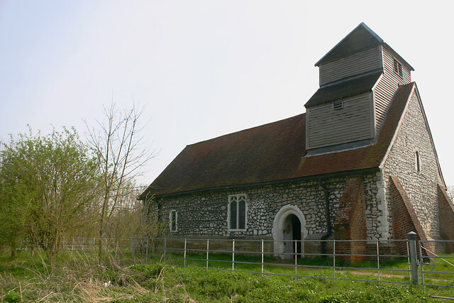
Historically, Field, South has been associated with agriculture, and remnants of its farming past can still be seen today. Some of the older buildings in the village date back to the 17th and 18th centuries, adding to the charm and character of the area.

Overall, Field, South, Buckinghamshire offers a tranquil and idyllic setting for those seeking a peaceful countryside lifestyle, while still being within easy reach of larger towns and cities.

If you have any feedback on the listing, please let us know in the comments section below.
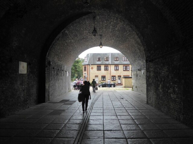
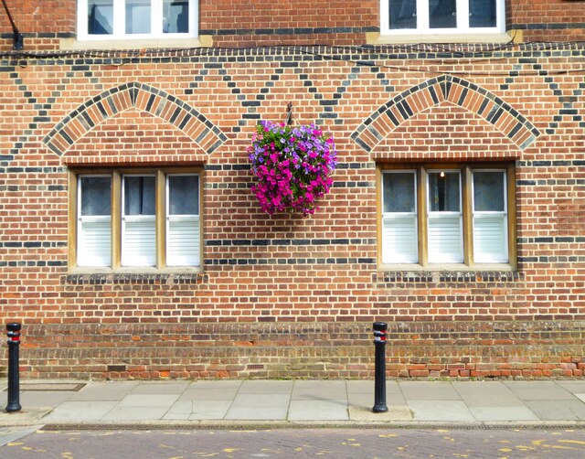
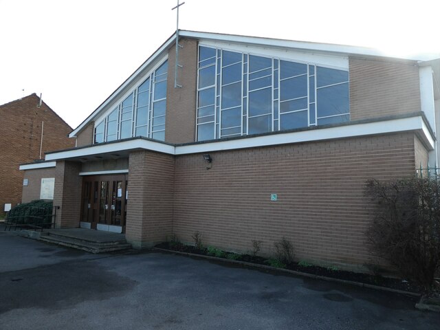
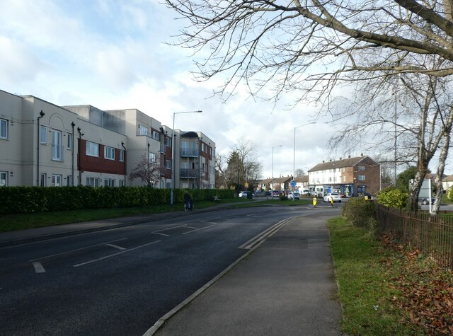
Field, South Images

Images are sourced within 2km of 51.492974/-0.6329885 or Grid Reference SU9578. Thanks to Geograph Open Source API. All images are credited.

Passageway under the railway in Goswell Road
Decorative brickwork in Eton High Street
Windsor & Eton Central station
The Thames from Windsor Bridge
Windsor Bridge view towards the town
Mid section of Dedworth Road
St Edward & St Mark RC Church: early February 2022
All Saints, Dedworth: early February 2022
Looking from Clewer Hill Road towards Dedworth Road
St. John's Drive, Windsor St. John's Drive is a residential cul-de-sac in Windsor.

This image was taken in the late afternoon on a bright and sunny February day.  The sun was low in the sky, casting long shadows.
St. John's Drive, Windsor
St. John's Drive is a residential cul-de-sac in Windsor. This image was taken in the late afternoon on a bright and sunny February day. The sun was low in the sky, casting long shadows.
St Mary Magdalene, Boveney - north-west elevation
St Mary Magdalene, Boveney - west end Some of the timbers seen here date from the late C15-early C16.
St Mary Magdalene, Boveney - west end
Some of the timbers seen here date from the late C15-early C16.
St Mary Magdalene, Boveney - east end Services are now held here only occasionally, hence the absence of an altar cross.
St Mary Magdalene, Boveney - east end
Services are now held here only occasionally, hence the absence of an altar cross.
Bridge across Cress Brook The bridge connects South Field with Dorney Common. Cress Brook flows into Boveney Ditch a short distance downstream.
Bridge across Cress Brook
The bridge connects South Field with Dorney Common. Cress Brook flows into Boveney Ditch a short distance downstream.
Confluence of streams, Eton Wick This is the point at which Roundmoor Ditch (left) and Cress Brook (right) coverge to form Boveney Ditch (centre) before the latter flows into the Thames.
Confluence of streams, Eton Wick
This is the point at which Roundmoor Ditch (left) and Cress Brook (right) coverge to form Boveney Ditch (centre) before the latter flows into the Thames.
Roundmoor Ditch, Eton Wick Taken upstream of its confluence with Cress Brook and Boveney Ditch. The houses are in Tilstone Close.
Roundmoor Ditch, Eton Wick
Taken upstream of its confluence with Cress Brook and Boveney Ditch. The houses are in Tilstone Close.
Tilson Bridge, Eton Wick The bridge carries the B3026 across Roundmoor Ditch whose course can be seen beyond it.
Tilson Bridge, Eton Wick
The bridge carries the B3026 across Roundmoor Ditch whose course can be seen beyond it.
Lock Path, Boveney Lock Path runs through the hamlet of Boveney (most of which can be seen here) and links it with the B3026.
Lock Path, Boveney
Lock Path runs through the hamlet of Boveney (most of which can be seen here) and links it with the B3026.
Show me another place!

Field, South is located at Grid Ref: SU9578 (Lat: 51.492974, Lng: -0.6329885)

Unitary Authority: Windsor and Maidenhead

Police Authority: Thames Valley

What 3 Words

///tall.talent.mess. Near Eton Wick, Berkshire

Related Wikis

Windsor Racecourse

Windsor Racecourse, also known as Royal Windsor Racecourse, is a thoroughbred horse racing venue located in Windsor, Berkshire, England. It is one of...

Eton Wick F.C.

Eton Wick is a football club based in Eton Wick, England. They currently play in the East Berkshire League Division One. == History == The club was formed...

Eton Wick

Eton Wick is a village and former civil parish, now in the parish of Eton, in the Windsor and Maidenhead district, in Berkshire, England (historically...
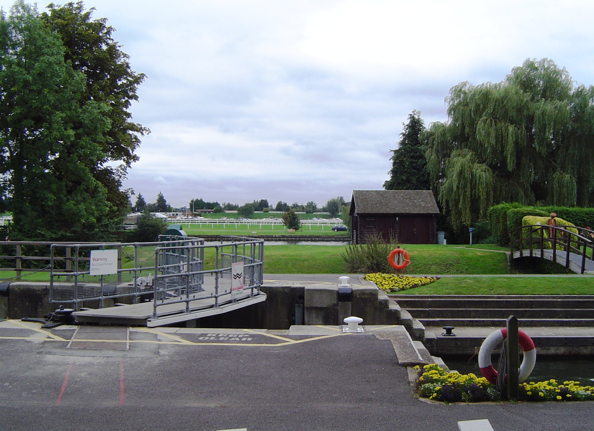
Boveney Lock

Boveney Lock is a lock on the River Thames situated on the Buckinghamshire bank opposite the Windsor Racecourse and close to Eton Wick. Boveney is a village...

Nearby Amenities

Located within 500m of 51.492974,-0.6329885
Millennium Milepost Eton Wick
Check Date: 2023-06-23
Description: 1) Maidenhead 6 2) Eton and Windsor 1.5 3) Thames path to Eton
Image: https://www.cyclestreets.net/location/195481/cyclestreets195481-size640.jpg
Information: guidepost
Ncn Milepost: rowe
Source: survey
Sustrans Ref: MP 170
Tourism: information
Lat/Long: 51.4930873/-0.6338794
Bus Stop
The Walk
Alt Name: Pickwick PH
Bus: yes
Naptan AltCommonName: Pickwick PH
Naptan AltStreet: Not Specified
Naptan AtcoCode: 036006493493
Naptan Bearing: SE
Naptan CommonName: Greyhound PH
Naptan Indicator: o/s
Naptan Landmark: The Walk
Naptan NaptanCode: windpwp
Naptan PlusbusZoneRef: SLOUGH;WINDSEC
Naptan Street: Eton Wick Road
Naptan Verified: no
Public Transport: platform
Shelter: yes
Source: naptan_import
Lat/Long: 51.4963139/-0.6319912
Bus Stop
The Walk
Alt Name: Pickwick PH
Bus: yes
Naptan AltCommonName: Pickwick PH
Naptan AltStreet: Not Specified
Naptan AtcoCode: 036006493494
Naptan Bearing: NW
Naptan CommonName: Greyhound PH
Naptan Indicator: opp
Naptan Landmark: The Walk
Naptan NaptanCode: windpwt
Naptan PlusbusZoneRef: SLOUGH;WINDSEC
Naptan Street: Eton Wick Road
Naptan Verified: no
Public Transport: platform
Shelter: no
Source: naptan_import
Lat/Long: 51.4961822/-0.6320042
Traffic Calming: cushion
Lat/Long: 51.4960383/-0.6314289
Traffic Calming: cushion
Lat/Long: 51.4963473/-0.6322679
Traffic Calming: cushion
Lat/Long: 51.4965937/-0.6328803
Boveney Bridge
Place: locality
Lat/Long: 51.4927398/-0.633887
South Field
Place: locality
Lat/Long: 51.4935857/-0.6277163
Bar
Eton Wick Football Club
Brewery: various
Outdoor Seating: yes
Smoking: outside
Lat/Long: 51.4966117/-0.6357881
Bench
Backrest: yes
Lat/Long: 51.4921916/-0.629324
Bench
Backrest: yes
Lat/Long: 51.491714/-0.6279615
Traffic Calming: cushion
Lat/Long: 51.4969123/-0.6340585
Traffic Calming: cushion
Lat/Long: 51.4958677/-0.630682
Waste Basket
Waste: dog_excrement
Lat/Long: 51.4930702/-0.6338672
Bench
Backrest: yes
Lat/Long: 51.4926755/-0.6333752
Bench
Backrest: yes
Lat/Long: 51.4924118/-0.6314603
The data included in this document is from www.openstreetmap.org. The data is made available under ODbL.

Have you been to Field, South?

Leave your review of Field, South below (or comments, questions and feedback).