North Field
Downs, Moorland in Buckinghamshire
England
North Field
North Field is a picturesque area located in the county of Buckinghamshire, England. Situated amidst the stunning countryside, it is renowned for its sprawling downs and moorland that offer a captivating landscape to visitors and locals alike.
The downs of North Field are characterized by their gently rolling hills, covered in lush green grasses and dotted with vibrant wildflowers during the warmer months. These hills provide a perfect setting for leisurely walks, picnics, and breathtaking views of the surrounding countryside. The area is also home to a variety of wildlife, including rabbits, hares, and a diverse range of bird species.
Adjacent to the downs lies the enchanting moorland of North Field, with its wide expanse of heather, gorse, and bracken. This unique habitat supports a multitude of plant and animal species, including the rare silver-studded blue butterfly and the Dartford warbler. Moorland walks offer visitors the chance to immerse themselves in the tranquility of nature while exploring the winding paths that weave through this captivating landscape.
North Field is a haven for outdoor enthusiasts, offering opportunities for hiking, cycling, and horse riding. The area boasts a network of well-maintained trails that cater to all levels of fitness and experience. Additionally, the nearby village provides convenient facilities such as parking, refreshments, and visitor information.
Overall, North Field in Buckinghamshire is a treasure trove of natural beauty, showcasing the unique downs and moorland that make this area a haven for wildlife and a paradise for outdoor enthusiasts.
If you have any feedback on the listing, please let us know in the comments section below.
North Field Images
Images are sourced within 2km of 51.499514/-0.61867411 or Grid Reference SU9578. Thanks to Geograph Open Source API. All images are credited.


North Field is located at Grid Ref: SU9578 (Lat: 51.499514, Lng: -0.61867411)
Unitary Authority: Windsor and Maidenhead
Police Authority: Thames Valley
What 3 Words
///fancy.rival.spike. Near Eton Wick, Berkshire
Nearby Locations
Related Wikis
Chalvey
Chalvey () is a former village, which is now a suburb of Slough, in the unitary authority of Slough in Berkshire, England. It was transferred to Berkshire...
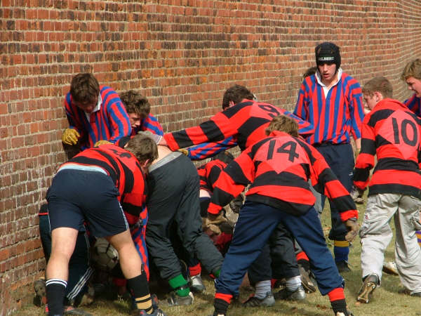
Eton wall game
The Eton wall game is a game that originated at and is still played at Eton College. It is played on a strip of ground 5 metres wide and 110 metres long...

Eton College
Eton College () is a public school (fee-charging and boarding for secondary school age boys) in Eton, Berkshire, England. It was founded in 1440 by Henry...

Eton College Chapel
Eton College Chapel is the main chapel of Eton College, a public school in England. The chapel was planned to be a little over double its actual length...

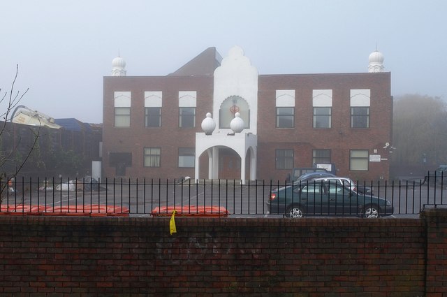
Slough and Eton Church of England Business and Enterprise College
Slough and Eton Church of England Business and Enterprise College is a co-educational secondary academy in Chalvey, Slough, Berkshire for students aged...
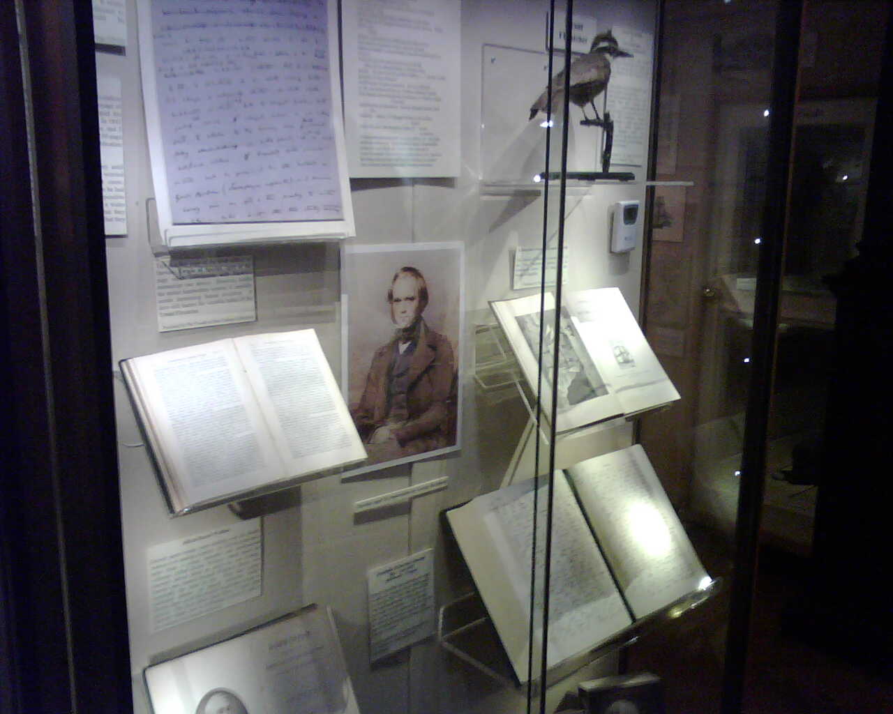
Eton College Collections
The Eton College Collections are a collection of items of significant cultural or scientific value kept by Eton College in England. They include College...

Eton College Natural History Museum
The Eton College Natural History Museum is a museum of natural history that is part of Eton College, a public school at Eton, Berkshire near Windsor in...
Eton Wick F.C.
Eton Wick is a football club based in Eton Wick, England. They currently play in the East Berkshire League Division One. == History == The club was formed...
Nearby Amenities
Located within 500m of 51.499514,-0.61867411Have you been to North Field?
Leave your review of North Field below (or comments, questions and feedback).