Blindley Heath
Settlement in Surrey Tandridge
England
Blindley Heath
Blindley Heath is a small village located in the county of Surrey, England. Situated about 20 miles south of London, it falls within the administrative district of Tandridge. The village is surrounded by the scenic countryside of the North Downs, offering its residents a tranquil and picturesque setting.
The history of Blindley Heath can be traced back to the medieval period when it was primarily an agricultural community. Today, it retains its rural charm, with a mix of traditional cottages, farmhouses, and more modern housing developments. The village has a close-knit community feel and a population of around 1,000 people.
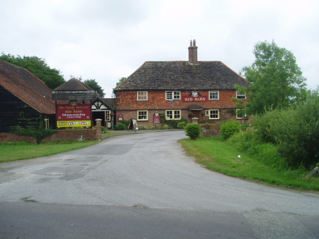
Although small in size, Blindley Heath offers a range of amenities for its residents. The village has a primary school, a local pub, and a village hall that hosts various community events. Additionally, there are several equestrian centers in the area, highlighting the village's connection to horse riding and the outdoor lifestyle.
The picturesque countryside surrounding Blindley Heath provides ample opportunities for outdoor activities such as walking, cycling, and horse riding. The village is well-connected to neighboring towns and cities, with access to major road networks like the A22 and M23, making it convenient for commuting and accessing amenities further afield.
In summary, Blindley Heath is a charming village in Surrey, known for its rural beauty, strong community spirit, and access to the stunning countryside of the North Downs. It offers a peaceful and idyllic lifestyle for its residents, while still providing easy access to nearby urban areas.
If you have any feedback on the listing, please let us know in the comments section below.
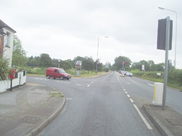
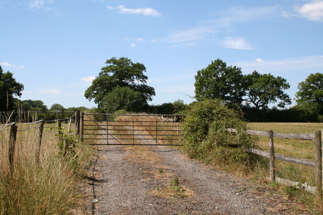
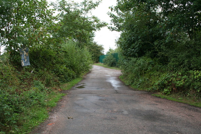
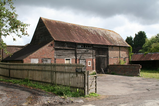
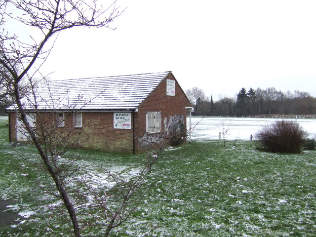
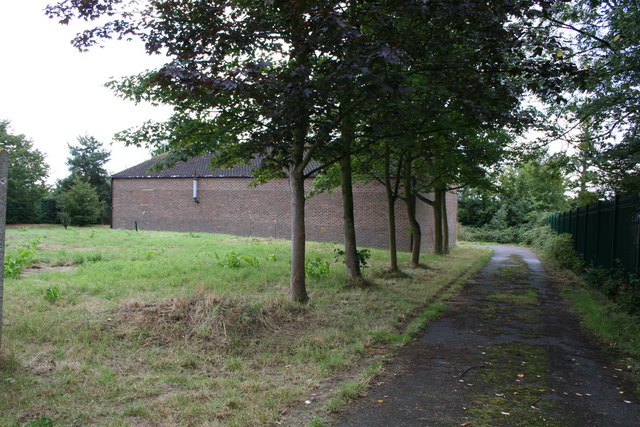
Blindley Heath Images
Images are sourced within 2km of 51.196741/-0.062232 or Grid Reference TQ3545. Thanks to Geograph Open Source API. All images are credited.


Blindley Heath is located at Grid Ref: TQ3545 (Lat: 51.196741, Lng: -0.062232)
Administrative County: Surrey
District: Tandridge
Police Authority: Surrey
What 3 Words
///title.ballots.rods. Near Blindley Heath, Surrey
Nearby Locations
Related Wikis
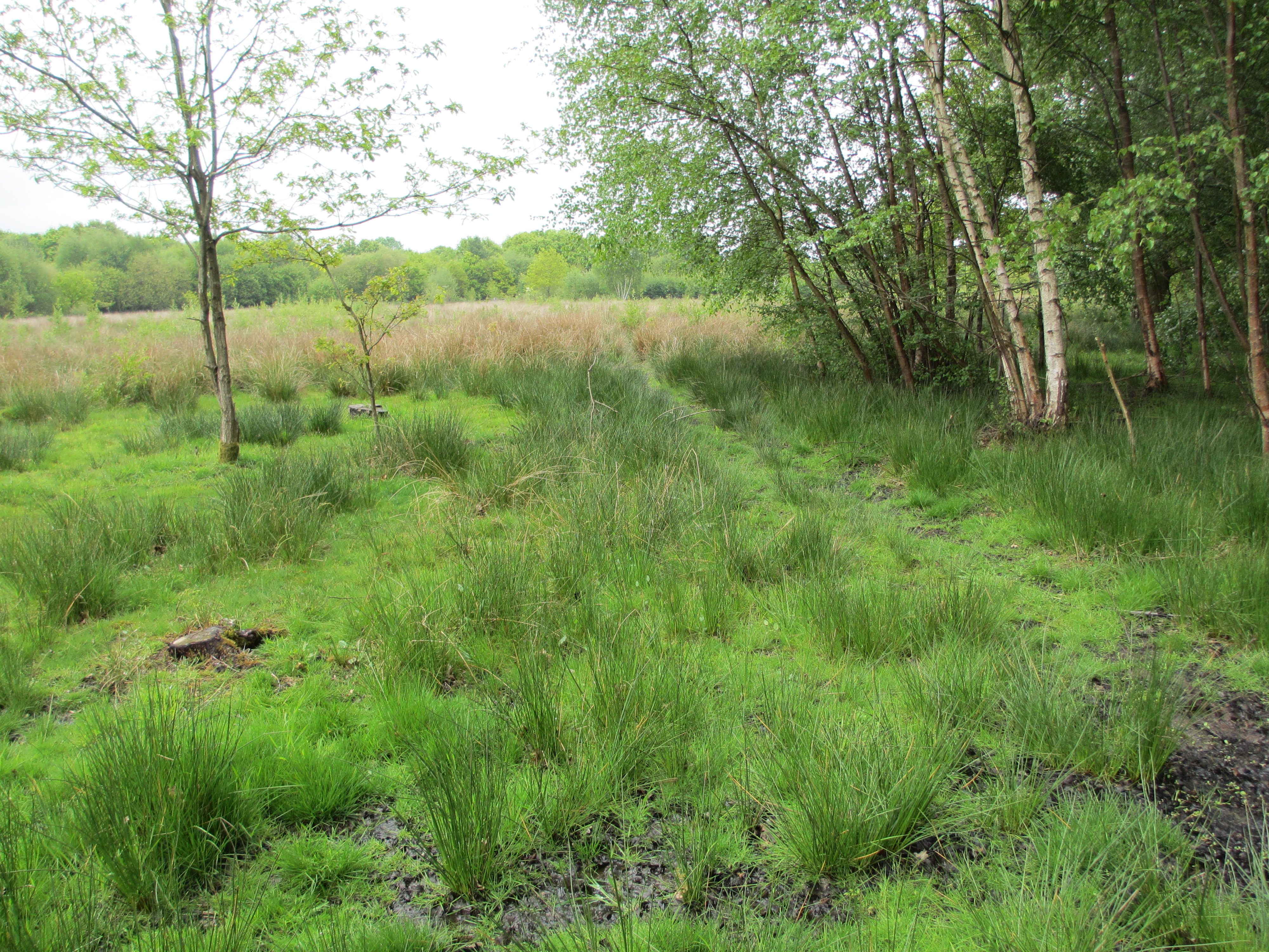
Blindley Heath SSSI
Blindley Heath SSSI is a 26.3-hectare (65-acre) biological Site of Special Scientific Interest in the hamlet Blindley Heath, on the southern outskirts...

Horne, Surrey
Horne is a rural village and civil parish in the District of Tandridge in Surrey, England. The parish includes the hamlet of Newchapel, where the British...

Godstone railway station
Godstone railway station is on the Redhill to Tonbridge Line and serves Godstone in Surrey, England. It is 28 miles 13 chains (28.16 miles, 45.32 km) measured...

Outwood Windmill
Outwood Windmill is a Grade I listed post mill in Outwood, Surrey. Built in 1665 by Thomas Budgen, a miller from Nutfield in Surrey, it is Britain's oldest...
Nearby Amenities
Located within 500m of 51.196741,-0.062232Have you been to Blindley Heath?
Leave your review of Blindley Heath below (or comments, questions and feedback).