Brachmont, South
Settlement in Kincardineshire
Scotland
Brachmont, South
Brachmont is a small village located in the southern region of Kincardineshire, Scotland. Situated amidst picturesque rolling hills and lush green landscapes, this rural settlement offers a tranquil setting for its residents. Brachmont is nestled about 15 miles south of the larger town of Stonehaven, making it an ideal location for those seeking a peaceful countryside lifestyle while still having access to urban amenities.
The village is home to a close-knit community, with a population of approximately 500 residents. Brachmont boasts a rich history that dates back several centuries, evident in the charming architecture of its traditional stone houses and buildings. The village is proud of its heritage and has preserved many of its historical landmarks, such as the ancient St. Mary's Church, which serves as a reminder of the area's cultural significance.
Although Brachmont is primarily an agricultural community, it has seen some diversification in recent years. A few small businesses have sprung up, catering to the needs of the local population. However, most residents commute to nearby towns for employment opportunities. The village also benefits from its proximity to the stunning coastline, attracting tourists who come to enjoy the sandy beaches and breathtaking cliffs.
Community spirit is strong in Brachmont, with various social events and activities organized throughout the year. The village hosts an annual summer fair, where locals and visitors come together to celebrate with music, games, and local produce. The surrounding countryside offers ample opportunities for outdoor enthusiasts, with hiking and cycling trails that showcase the area's natural beauty.
In conclusion, Brachmont in South Kincardineshire is a charming village that offers a peaceful and close-knit community in a picturesque rural setting. With its rich history, natural beauty, and strong community spirit, it is an idyllic place to call home.
If you have any feedback on the listing, please let us know in the comments section below.
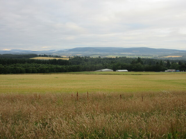
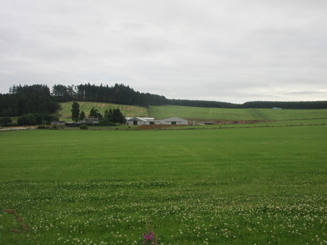
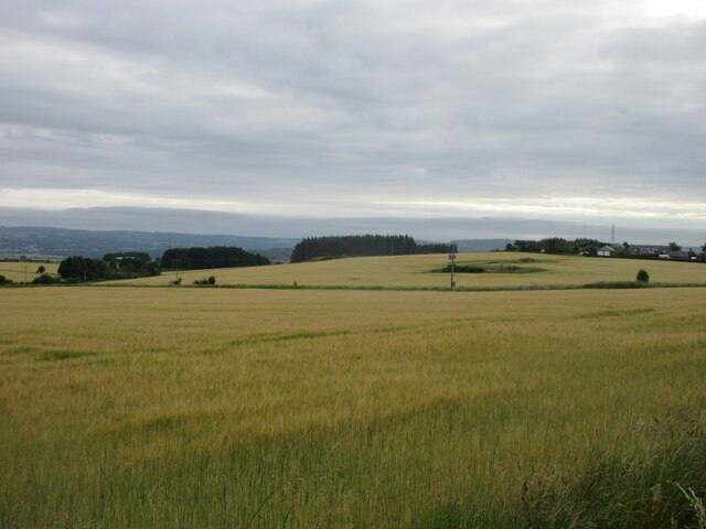
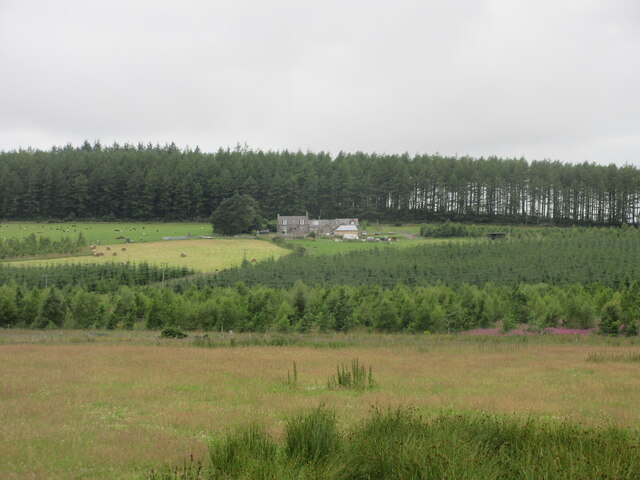
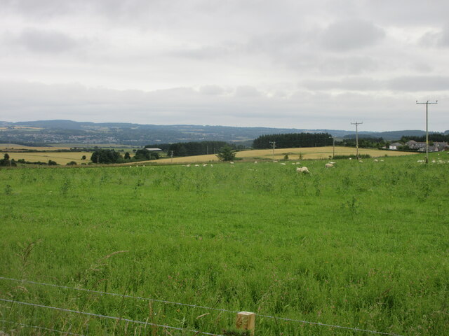
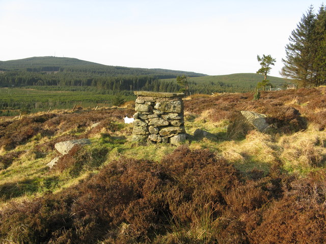
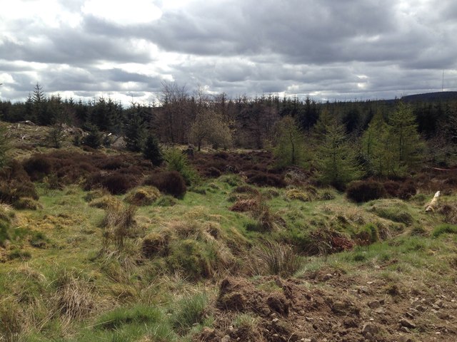
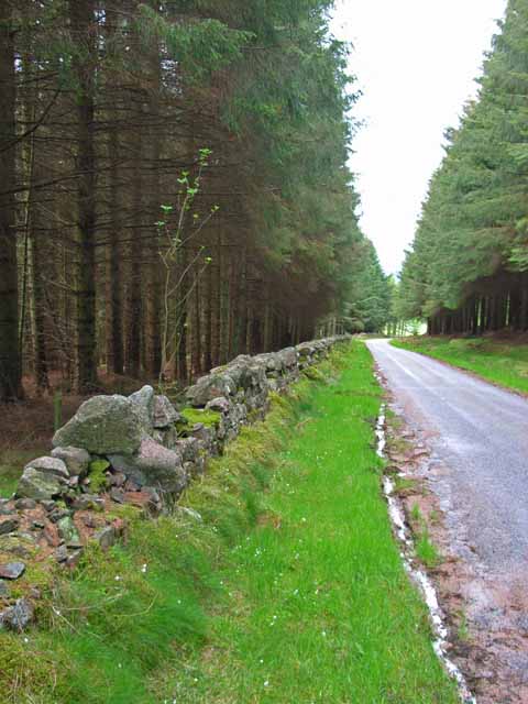
Brachmont, South Images
Images are sourced within 2km of 57.036698/-2.3146976 or Grid Reference NO8194. Thanks to Geograph Open Source API. All images are credited.


Brachmont, South is located at Grid Ref: NO8194 (Lat: 57.036698, Lng: -2.3146976)
Unitary Authority: Aberdeenshire
Police Authority: North East
What 3 Words
///operated.storeroom.adjusting. Near Peterculter, Aberdeen
Nearby Locations
Related Wikis

Kincardine and Mearns
Kincardine and Mearns is one of six area committees of the Aberdeenshire council area in Scotland. It has a population of 38,506 (2001 Census). There...

Borrowfield
Borrowfield is a settlement in Aberdeenshire, Scotland in proximity to Netherley. == History == Roman legions marched from Raedykes to Normandykes Roman...
Durris Forest
Durris Forest is a chiefly coniferous forest south of the River Dee approximately three kilometres west of Netherley in Aberdeenshire, Scotland. The A957...

Meikle Carewe Hill
Meikle Carewe Hill is a landform in Aberdeenshire, Scotland within the Mounth Range of the Grampian Mountains. (Grid Reference NO 921 828) The peak elevation...
Nearby Amenities
Located within 500m of 57.036698,-2.3146976Have you been to Brachmont, South?
Leave your review of Brachmont, South below (or comments, questions and feedback).