South Brachmont

Settlement in Kincardineshire

Scotland

South Brachmont

Field near Nibbetstane Looking north-west, downhill over a field near Nibbetstane, Durris.
Field near Nibbetstane Credit: Scott Cormie

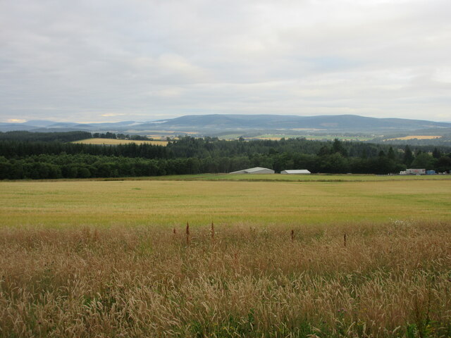
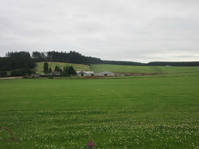
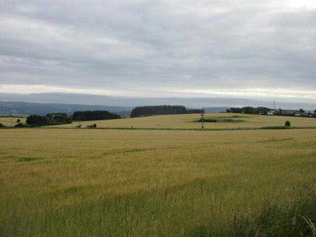
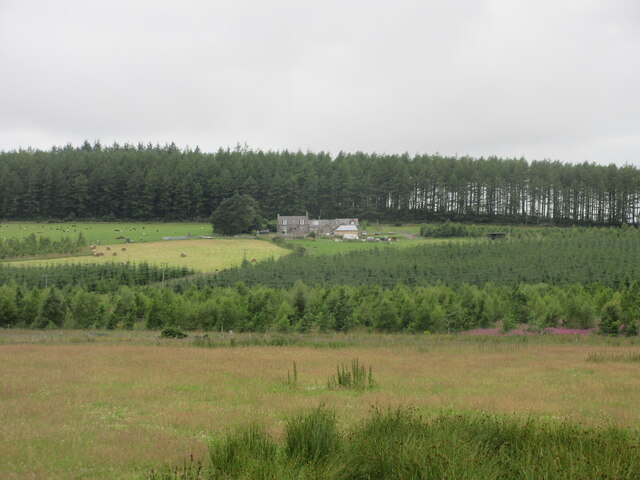
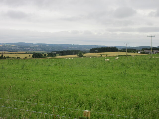
South Brachmont is a picturesque village located in the scenic region of Kincardineshire, Scotland. Situated on the east coast of the country, it is nestled between the North Sea and the rolling hills of the Grampian Mountains. This charming village is known for its breathtaking natural beauty and rich historical heritage.

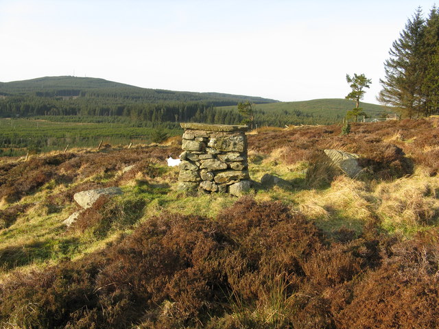
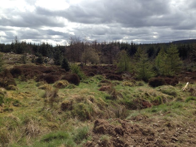
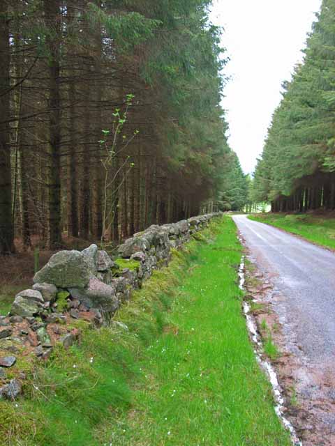
The village is characterized by its quaint stone cottages and narrow winding streets, which exude an old-world charm. The surrounding countryside offers stunning views of lush green fields, rugged cliffs, and the sparkling waters of the North Sea. Nature enthusiasts will find plenty of opportunities for outdoor activities such as hiking, cycling, and birdwatching in the nearby Cairngorms National Park.

South Brachmont is also steeped in history, with several notable landmarks and historical sites. The ruins of Brachmont Castle, a 13th-century fortress, stand as a reminder of the village's medieval past. The village church, with its striking architecture and stained glass windows, is another prominent landmark.

Residents of South Brachmont enjoy a peaceful and close-knit community atmosphere. The village is home to a number of local amenities, including a primary school, a post office, and a few small shops and cafes. For more extensive shopping and entertainment options, the nearby town of Stonehaven is easily accessible.

Overall, South Brachmont offers a tranquil and idyllic setting, making it an ideal destination for those seeking a peaceful retreat or a place to explore Scotland's natural beauty and historic charm.

If you have any feedback on the listing, please let us know in the comments section below.

South Brachmont Images

Images are sourced within 2km of 57.036698/-2.3146976 or Grid Reference NO8194. Thanks to Geograph Open Source API. All images are credited.

Field near Nibbetstane Looking north-west, downhill over a field near Nibbetstane, Durris.
Field near Nibbetstane
Looking north-west, downhill over a field near Nibbetstane, Durris.
Bogenraith Farm Looking east to farm sheds at Bogenraith.
Bogenraith Farm
Looking east to farm sheds at Bogenraith.
Barley field near Corsehill Fields of barley north of the C5K road near Corsehill.
Barley field near Corsehill
Fields of barley north of the C5K road near Corsehill.
Sheep near Newlands Sheep dotted around pastureland between Newlands and Trees.
Sheep near Newlands
Sheep dotted around pastureland between Newlands and Trees.
West Brachmont West Brachmont viewed from the road to the south-east across a young plantation.
West Brachmont
West Brachmont viewed from the road to the south-east across a young plantation.
Pastureland near East Brachmont Pastureland occupied by sheep, near East Brachmont.
Pastureland near East Brachmont
Pastureland occupied by sheep, near East Brachmont.
Elsick Mounth Track The Elsick Mounth Trail heading south towards Bruntyairds Wood.
Elsick Mounth Track
The Elsick Mounth Trail heading south towards Bruntyairds Wood.
Cairn at the edge of Strathgyle Wood
Muddy entrance to expansive chequered fields. Photographer is standing quite close to the metal field gate entrance.
Muddy entrance to expansive chequered fields.
Photographer is standing quite close to the metal field gate entrance.
Sheep staring at photographer These sheep were as interested in the photographic process as the photographer was in them.
Sheep staring at photographer
These sheep were as interested in the photographic process as the photographer was in them.
Endless grassy field beyond a foreground fringe of gorse
Entering Denside Travelling west on a minor road to Woodlands of Durris.
Entering Denside
Travelling west on a minor road to Woodlands of Durris.
A new barn By Corsehill Farm.
A new barn
By Corsehill Farm.
Strathgyle Wood
Strathgyle Wood
Denside Denside is a hamlet which has grown up along the road next to the farm of the same name. The fuel pumps belong to the smiddy which is still owned by the last smith Jim Raitt. The pumps are no longer in use but at one time they were used for retailing fuel (information kindly supplied by Jim Williamson).
Denside
Denside is a hamlet which has grown up along the road next to the farm of the same name. The fuel pumps belong to the smiddy which is still owned by the last smith Jim Raitt. The pumps are no longer in use but at one time they were used for retailing fuel (information kindly supplied by Jim Williamson).
Cairn Cottage The impressive aerial in the garden belongs to the owner who is a radio ham.
Cairn Cottage
The impressive aerial in the garden belongs to the owner who is a radio ham.
View over Bogenraith from Denside Towards the valley of the River Dee filling with mist.
View over Bogenraith from Denside
Towards the valley of the River Dee filling with mist.
Fuel pumps at Denside
Show me another place!

South Brachmont is located at Grid Ref: NO8194 (Lat: 57.036698, Lng: -2.3146976)

Unitary Authority: Aberdeenshire

Police Authority: North East

What 3 Words

///operated.storeroom.adjusting. Near Peterculter, Aberdeen

Related Wikis

Kincardine and Mearns

Kincardine and Mearns is one of six area committees of the Aberdeenshire council area in Scotland. It has a population of 38,506 (2001 Census). There...

Borrowfield

Borrowfield is a settlement in Aberdeenshire, Scotland in proximity to Netherley. == History == Roman legions marched from Raedykes to Normandykes Roman...

Durris Forest

Durris Forest is a chiefly coniferous forest south of the River Dee approximately three kilometres west of Netherley in Aberdeenshire, Scotland. The A957...

Meikle Carewe Hill

Meikle Carewe Hill is a landform in Aberdeenshire, Scotland within the Mounth Range of the Grampian Mountains. (Grid Reference NO 921 828) The peak elevation...

Nearby Amenities

Located within 500m of 57.036698,-2.3146976
Ele: 264
Natural: peak
Lat/Long: 57.0327437/-2.3155658
The data included in this document is from www.openstreetmap.org. The data is made available under ODbL.

Have you been to South Brachmont?

Leave your review of South Brachmont below (or comments, questions and feedback).