South Bowood

Settlement in Dorset

England

South Bowood

Buck's Head Looking east, along a shallow valley, from the B3162 at Buck's Head.  Look carefully and you will see 3 deer in the grass just above the fence to the right of the photo.
Buck's Head Credit: Les Mildon

South Bowood is a charming village located in the county of Dorset, England. Situated approximately 3 miles southwest of the town of Dorchester, South Bowood boasts a picturesque countryside setting with stunning views of the surrounding rolling hills and meadows.

The village itself is small, with a population of around 200 residents. It is characterized by its quaint and traditional cottages, many of which date back several centuries. The architecture reflects the area's rich history and provides a glimpse into Dorset's rural past.

South Bowood offers a peaceful and tranquil atmosphere, making it an ideal destination for those seeking a break from the hustle and bustle of city life. The village is surrounded by lush green fields and provides ample opportunities for walking, hiking, and exploring the beautiful Dorset countryside.

Despite its small size, South Bowood has a strong sense of community. The village has a local pub, The Bowood Arms, which serves as a hub for socializing and bringing residents together.

For those interested in history and culture, South Bowood is conveniently located near several attractions. The nearby town of Dorchester offers a range of amenities, including shops, cafes, and museums. Additionally, the famous Cerne Abbas Giant, an ancient chalk figure carved into a hillside, is just a short drive away.

In conclusion, South Bowood is a charming and idyllic village nestled in the heart of Dorset. With its stunning natural surroundings and rich history, it offers a peaceful retreat for both residents and visitors alike.

If you have any feedback on the listing, please let us know in the comments section below.
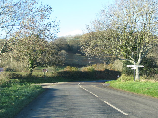
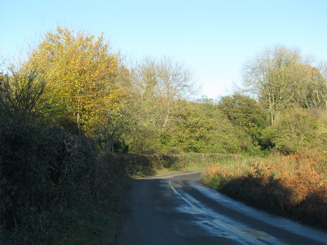
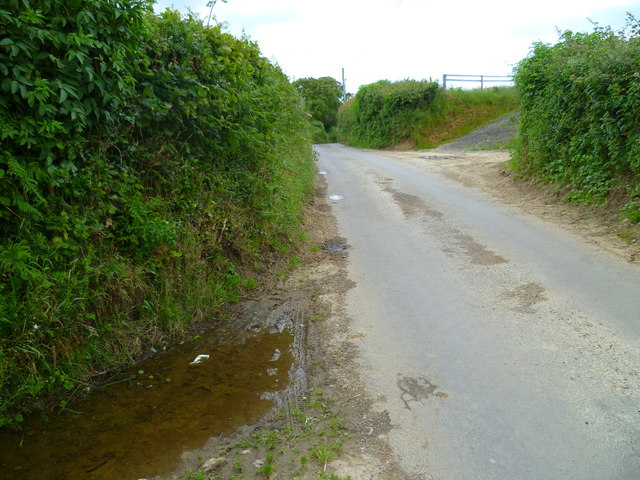
South Bowood Images

Images are sourced within 2km of 50.784756/-2.7868508 or Grid Reference SY4498. Thanks to Geograph Open Source API. All images are credited.

Buck's Head Looking east, along a shallow valley, from the B3162 at Buck's Head.  Look carefully and you will see 3 deer in the grass just above the fence to the right of the photo.
Buck's Head
Looking east, along a shallow valley, from the B3162 at Buck's Head. Look carefully and you will see 3 deer in the grass just above the fence to the right of the photo.
Ploughing Brimley Farm
Countryside to the east of Brimley Farm A bridge carrying the Jubilee Trail over a woodland stream can be seen in the bottom left corner.
Countryside to the east of Brimley Farm
A bridge carrying the Jubilee Trail over a woodland stream can be seen in the bottom left corner.
Stoke Abbott: Post Office Cottage A thatched cottage whose name makes obvious a previous function.
Stoke Abbott: Post Office Cottage
A thatched cottage whose name makes obvious a previous function.
Stoke Abbott: postbox № DT6 56 This little postbox serves the southern half of the village and is only a short distance from <a href="https://www.geograph.org.uk/photo/1784539">ST4500 : Stoke Abbott: Post Office Cottage</a>. It is emptied finally at 4pm on weekdays and at 10am on Saturdays.

The box has a DT6 number (Bridport) rather than DT8 (Beaminster), despite being closer to the latter town and comfortably within the DT8 postcode area.

In the background, we see re-thatching is underway at Post Office Cottage.
Stoke Abbott: postbox № DT6 56
This little postbox serves the southern half of the village and is only a short distance from ST4500 : Stoke Abbott: Post Office Cottage. It is emptied finally at 4pm on weekdays and at 10am on Saturdays. The box has a DT6 number (Bridport) rather than DT8 (Beaminster), despite being closer to the latter town and comfortably within the DT8 postcode area. In the background, we see re-thatching is underway at Post Office Cottage.
Stoke Abbott: a yellow welcome from the west Daffodils alongside the lane leading into the village.
Stoke Abbott: a yellow welcome from the west
Daffodils alongside the lane leading into the village.
Stoke Abbott: Four Ashes crossroads This traditional Dorset signpost retains its original finial, giving location and grid reference details. The Whitchurch referred to is Whitchurch Canonicorum.

For a close-up of the finial, see <a href="https://www.geograph.org.uk/photo/1784564">ST4400 : Stoke Abbott: Four Ashes finger-post detail</a>.
Stoke Abbott: Four Ashes crossroads
This traditional Dorset signpost retains its original finial, giving location and grid reference details. The Whitchurch referred to is Whitchurch Canonicorum. For a close-up of the finial, see ST4400 : Stoke Abbott: Four Ashes finger-post detail.
Stoke Abbott: Four Ashes finger-post detail A close-up of the finial of the finger-post (see <a href="https://www.geograph.org.uk/photo/1784560">ST4400 : Stoke Abbott: Four Ashes crossroads</a>), giving location and grid reference details.
Stoke Abbott: Four Ashes finger-post detail
A close-up of the finial of the finger-post (see ST4400 : Stoke Abbott: Four Ashes crossroads), giving location and grid reference details.
Road junction at Four Ashes
Bend in the road under Crabb's Hill
The Orange Way in Dorset and Somerset (42) A minor road is reached.
The Orange Way in Dorset and Somerset (42)
A minor road is reached.
The Orange Way in Dorset and Somerset (43) Having reached Brimley Farm the walk turns right, then left, onto a footpath.
The Orange Way in Dorset and Somerset (43)
Having reached Brimley Farm the walk turns right, then left, onto a footpath.
The Orange Way in Dorset and Somerset (44) The route continues to follow the Jubilee Trail (Dorset).
The Orange Way in Dorset and Somerset (44)
The route continues to follow the Jubilee Trail (Dorset).
The Orange Way in Dorset and Somerset (45) Strictly speaking I have come the wrong way and this picture is of the mill south west of Stoke Abbott.  The Orange Way takes a more northerly route.  I pressed on anyway.
The Orange Way in Dorset and Somerset (45)
Strictly speaking I have come the wrong way and this picture is of the mill south west of Stoke Abbott. The Orange Way takes a more northerly route. I pressed on anyway.
The Orange Way in Dorset and Somerset (46) Here I am slightly off course but am given permission to use the private drive at the mill to get to Stoke Abbott.
The Orange Way in Dorset and Somerset (46)
Here I am slightly off course but am given permission to use the private drive at the mill to get to Stoke Abbott.
The Orange Way in Dorset and Somerset (47) Here I am back on course.  The route is about to join the road through Stoke Abbott.
The Orange Way in Dorset and Somerset (47)
Here I am back on course. The route is about to join the road through Stoke Abbott.
The Orange Way in Dorset and Somerset (48) This is the attractive road through Stoke Abbott from the south.
The Orange Way in Dorset and Somerset (48)
This is the attractive road through Stoke Abbott from the south.
The Orange Way in Dorset and Somerset (49) The old chapel is to be let in Stoke Abbott.
The Orange Way in Dorset and Somerset (49)
The old chapel is to be let in Stoke Abbott.
Show me another place!

South Bowood is located at Grid Ref: SY4498 (Lat: 50.784756, Lng: -2.7868508)

Unitary Authority: Dorset

Police Authority: Dorset

What 3 Words

///shun.nurse.hopeless. Near Beaminster, Dorset

Related Wikis

Holy Trinity Church, Salway Ash

Holy Trinity Church is a Church of England church in Salway Ash, Dorset, England. The church was designed by George Crickmay and built in 1887–89. It now...

Stoke Abbott

Stoke Abbott is a village and civil parish in west Dorset, England, 2 miles (3.2 km) west of Beaminster. In 2013 the estimated population of the parish...

Salway Ash

Salway Ash (also spelt Salwayash) is a village in Dorset, England. Holy Trinity Church was built there in 1887–89. == References ==

Netherbury

Netherbury is a village and civil parish in the English county of Dorset. It lies within the Dorset Council administrative area, by the small River Brit...

Nearby Amenities

Located within 500m of 50.784756,-2.7868508
South Bowood
Is In: Dorset, England, UK
Place: hamlet
Lat/Long: 50.7837744/-2.7877125
Post Box
Description: In wall opposite turning to Stoke Abbott. Victorian.
Post Box Type: wall
Ref: DT6 29
Ref GB Uprn: 10015367706
Royal Cypher: VR
Royal Cypher Wikidata: Q33102356
Lat/Long: 50.7846286/-2.7864342
Telephone
Booth: K6
Covered: booth
Lat/Long: 50.7846953/-2.7861122
The data included in this document is from www.openstreetmap.org. The data is made available under ODbL.

Have you been to South Bowood?

Leave your review of South Bowood below (or comments, questions and feedback).