South Baddesley

Settlement in Hampshire New Forest

England

South Baddesley

Pylewell, farm buildings At Pylewell Home Farm.
Pylewell, farm buildings Credit: Mike Faherty

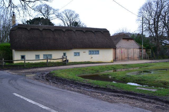
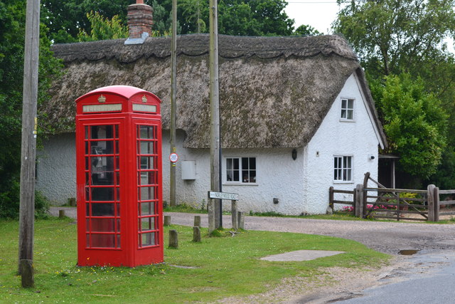
South Baddesley is a charming village located in the county of Hampshire, England. Nestled in the picturesque New Forest National Park, it offers a peaceful and idyllic setting for residents and visitors alike.

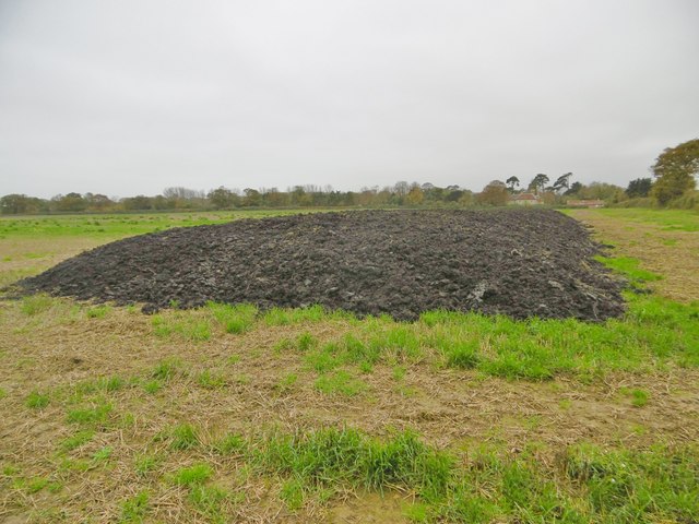
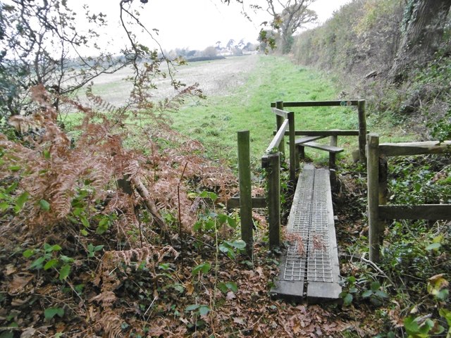
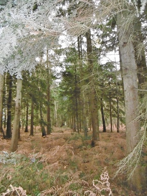
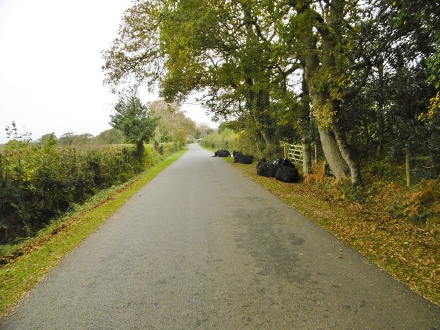
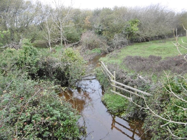
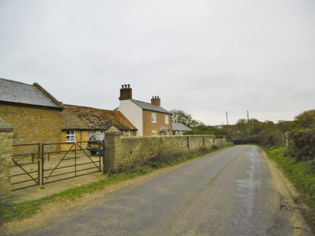
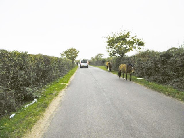
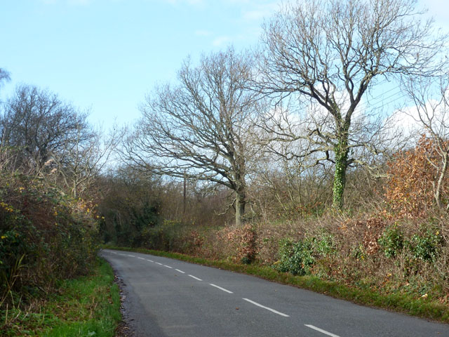
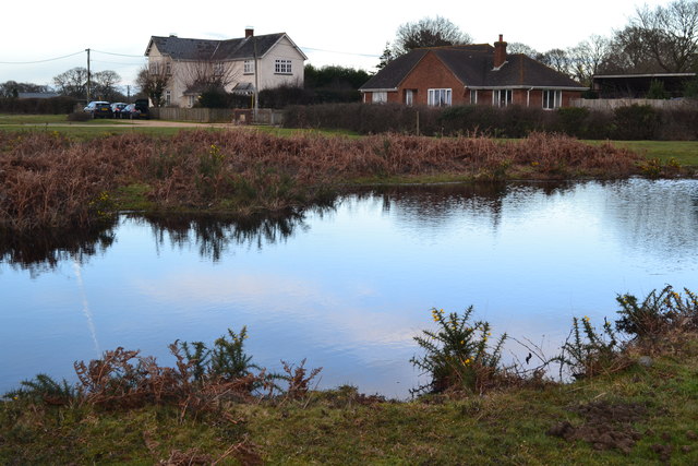
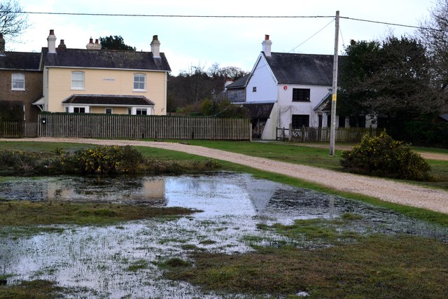
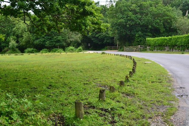
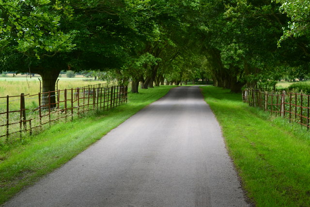
The village is known for its stunning natural beauty, with an abundance of lush greenery, open fields, and enchanting woodland areas. This makes it a popular destination for outdoor enthusiasts, who can enjoy activities such as hiking, cycling, and horse riding in the surrounding countryside.

South Baddesley is also home to a close-knit community, with a population of around 500 residents. The village maintains a strong sense of community spirit, with regular events and gatherings that bring locals together. The village hall serves as a hub for various social and recreational activities, providing a space for meetings, clubs, and events.

Historically, South Baddesley has deep roots, dating back to the medieval period. It is home to a number of notable buildings, including the All Saints Church, which dates back to the 12th century. This magnificent church boasts intricate architectural details and is a testament to the village's rich history.

In terms of amenities, South Baddesley offers a range of facilities to cater to the needs of its residents. These include a village shop, a primary school, and a pub, which serves as a popular meeting place for locals and visitors.

Overall, South Baddesley is a charming and picturesque village that offers a peaceful and welcoming environment for residents and visitors. With its natural beauty, strong community spirit, and rich history, it truly is a hidden gem within the Hampshire countryside.

If you have any feedback on the listing, please let us know in the comments section below.

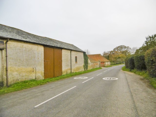
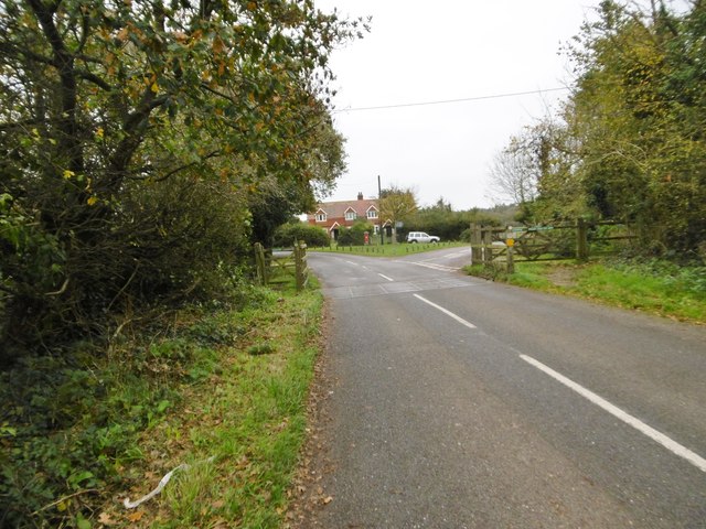
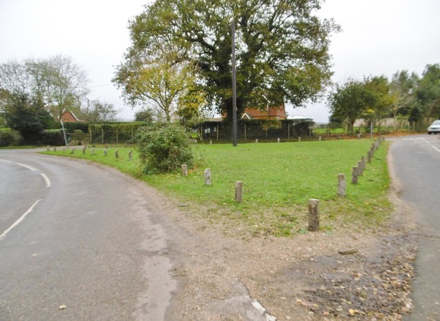
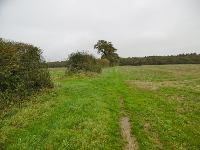
South Baddesley Images

Images are sourced within 2km of 50.779363/-1.500553 or Grid Reference SZ3597. Thanks to Geograph Open Source API. All images are credited.

Pylewell, farm buildings At Pylewell Home Farm.
Pylewell, farm buildings
At Pylewell Home Farm.
Pylewell, cattle grid At the settlement's entrance. East of here, New Forest Commoners' livestock are allowed to graze.
Pylewell, cattle grid
At the settlement's entrance. East of here, New Forest Commoners' livestock are allowed to graze.
Pylewell, green At the junction of roads to Sowley, East End and Walhampton. This forms part of the Solent Way. <span class="nowrap"><a title="http://www3.hants.gov.uk/longdistance/walking-solentway.htm" rel="nofollow ugc noopener" href="http://www3.hants.gov.uk/longdistance/walking-solentway.htm">Link</a><img style="margin-left:2px;" alt="External link" title="External link - shift click to open in new window" src="https://s1.geograph.org.uk/img/external.png" width="10" height="10"/></span>
Pylewell, green
At the junction of roads to Sowley, East End and Walhampton. This forms part of the Solent Way. LinkExternal link
Pylewell, footpath Along a field margin, from Pylewell to Sowley Lane, via Sowley Brooms. This path forms part of the Solent Way: <span class="nowrap"><a title="http://www3.hants.gov.uk/longdistance/walking-solentway.htm" rel="nofollow ugc noopener" href="http://www3.hants.gov.uk/longdistance/walking-solentway.htm">Link</a><img style="margin-left:2px;" alt="External link" title="External link - shift click to open in new window" src="https://s1.geograph.org.uk/img/external.png" width="10" height="10"/></span>
Pylewell, footpath
Along a field margin, from Pylewell to Sowley Lane, via Sowley Brooms. This path forms part of the Solent Way: LinkExternal link
Sowley, clamp In a field next to Sowley Brooms.
Sowley, clamp
In a field next to Sowley Brooms.
Sowley, footbridge & stile Leaving Sowley Brooms to cross farmland to Pylewell, on the Solent Way: <span class="nowrap"><a title="http://www3.hants.gov.uk/longdistance/walking-solentway.htm" rel="nofollow ugc noopener" href="http://www3.hants.gov.uk/longdistance/walking-solentway.htm">Link</a><img style="margin-left:2px;" alt="External link" title="External link - shift click to open in new window" src="https://s1.geograph.org.uk/img/external.png" width="10" height="10"/></span>
Sowley, footbridge & stile
Leaving Sowley Brooms to cross farmland to Pylewell, on the Solent Way: LinkExternal link
Sowley Brooms A mixed woodland plantation; in this section, conifers.
Sowley Brooms
A mixed woodland plantation; in this section, conifers.
East End, cattle On St Leonards Road; perhaps, not so much jay-walking as jay-resting. Whatever, exercising their owner's Common of Pasture. <span class="nowrap"><a title="http://www.newforest.hampshire.org.uk/today1.html" rel="nofollow ugc noopener" href="http://www.newforest.hampshire.org.uk/today1.html">Link</a><img style="margin-left:2px;" alt="External link" title="External link - shift click to open in new window" src="https://s1.geograph.org.uk/img/external.png" width="10" height="10"/></span>
East End, cattle
On St Leonards Road; perhaps, not so much jay-walking as jay-resting. Whatever, exercising their owner's Common of Pasture. LinkExternal link
East End, Crockford Stream Looking upstream from East End Bridge.
East End, Crockford Stream
Looking upstream from East End Bridge.
East End, Bridge Farmhouse
East End, jaywalking ponies Exercising their owners' rights to Common of Pasture. <span class="nowrap"><a title="http://www.newforest.hampshire.org.uk/today1.html" rel="nofollow ugc noopener" href="http://www.newforest.hampshire.org.uk/today1.html">Link</a><img style="margin-left:2px;" alt="External link" title="External link - shift click to open in new window" src="https://s1.geograph.org.uk/img/external.png" width="10" height="10"/></span>
East End, jaywalking ponies
Exercising their owners' rights to Common of Pasture. LinkExternal link
Road towards South Baddesley This may be called South Baddesley Road here, it certainly is further along.
Road towards South Baddesley
This may be called South Baddesley Road here, it certainly is further along.
Thatched cottage between East Boldre and East End
Pond and houses
Pond and houses
Houses on the edge of the heath
Telephone box and thatched cottage at Norleywood
Grassed area beside Norleywood Road
Tree-lined avenue at Pylewell Park
Show me another place!

South Baddesley is located at Grid Ref: SZ3597 (Lat: 50.779363, Lng: -1.500553)

Administrative County: Hampshire

District: New Forest

Police Authority: Hampshire

What 3 Words

///packet.roosts.organist. Near Lymington, Hampshire

Related Wikis

Norley Wood

Norley Wood (or Norleywood) is a hamlet in the New Forest National Park of Hampshire, England. It is in the civil parish of Boldre. Its nearest town...

Norley Copse and Meadow

Norley Copse and Meadow is a 7.5-hectare (19-acre) biological Site of Special Scientific Interest east of Lymington in Hampshire. It is part of New Forest...

South Baddesley

South Baddesley is a small village in the civil parish of Boldre in the New Forest National Park of Hampshire, England. It lies 2.3 miles (3.7 km) north...

East End, Hampshire

East End is a hamlet in the civil parish of East Boldre in the New Forest National Park of Hampshire, England. Its nearest town is Lymington, which lies...

Portmore, Hampshire

Portmore is a hamlet in the New Forest National Park of Hampshire, England. It is in the civil parish of Boldre. Its nearest town is Lymington, which...
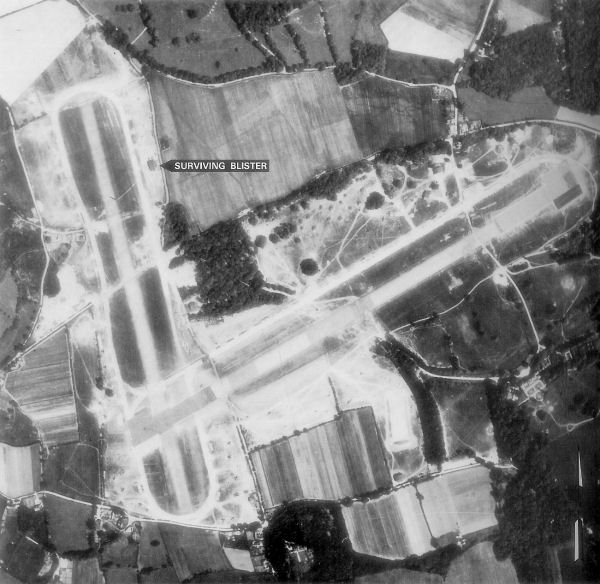
RAF Lymington

Royal Air Force Lymington or more simply RAF Lymington is a former Royal Air Force Advanced Landing Ground in Hampshire, England. The airfield is located...

Pylewell Park

Pylewell Park is a country house and park near Lymington in Hampshire. It is listed as grade II*. == History == A settlement on the site of Baddesley Manor...

Pilley, Hampshire

Pilley is a small village in the civil parish of Boldre, in the New Forest national park in Hampshire, England. Pilley is located 2 miles north of the...

Nearby Amenities

Located within 500m of 50.779363,-1.500553
Bus Stop
Frogmore Cottages
Bus: yes
Naptan AtcoCode: 1900HA080598
Naptan Bearing: W
Naptan CommonName: Frogmore Cottages
Naptan NaptanCode: hamamtwg
Naptan Street: Norleywood Road
Naptan Verified: no
Public Transport: platform
Source: naptan_import
Lat/Long: 50.7794405/-1.5018983
Bus Stop
Frogmore Cottages
Bus: yes
Naptan AtcoCode: 1900HA080599
Naptan Bearing: E
Naptan CommonName: Frogmore Cottages
Naptan NaptanCode: hamamtwm
Naptan Street: Norleywood Road
Naptan Verified: no
Public Transport: platform
Source: naptan_import
Lat/Long: 50.7794854/-1.5018836
Bus Stop
Norleywood
Bus: yes
Naptan AtcoCode: 1900HA080600
Naptan Bearing: NW
Naptan CommonName: Norleywood
Naptan Crossing: Joys Lane
Naptan NaptanCode: hamapadg
Naptan Street: Norleywood Road
Naptan Verified: no
Public Transport: platform
Source: naptan_import
Lat/Long: 50.7779714/-1.4969354
Bus Stop
Norleywood
Bus: yes
Naptan AtcoCode: 1900HA080601
Naptan Bearing: SE
Naptan CommonName: Norleywood
Naptan Crossing: Thatchers lane
Naptan NaptanCode: hamapadm
Naptan Street: Norleywood Road
Naptan Verified: no
Public Transport: platform
Source: naptan_import
Lat/Long: 50.7780071/-1.4968783
Telephone
Booth: K6
Covered: booth
Man Made: telephone_box
Tourism: information
Lat/Long: 50.7778447/-1.496603
The data included in this document is from www.openstreetmap.org. The data is made available under ODbL.

Have you been to South Baddesley?

Leave your review of South Baddesley below (or comments, questions and feedback).