Baddesley, South
Settlement in Hampshire New Forest
England
Baddesley, South
Baddesley, South, Hampshire is a small village located in the county of Hampshire, in southern England. It is situated approximately 10 miles southeast of the city of Winchester and 5 miles north of the town of Fareham. Baddesley is part of the Winchester district and falls within the South Downs National Park.
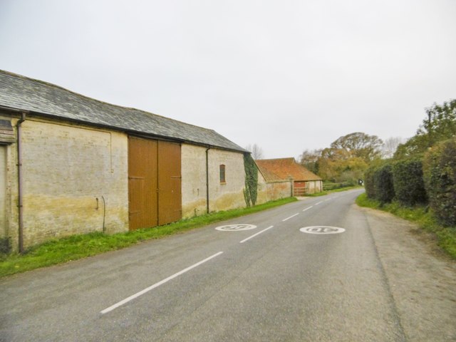
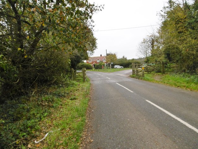
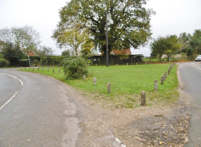
The village is known for its picturesque rural setting, surrounded by rolling hills and woodland areas. It is primarily a residential area, with a population of around 500 residents. The village features a mix of architectural styles, including traditional thatched cottages and more modern houses.
One of the notable landmarks in Baddesley is the Grade II listed All Saints Church, which dates back to the 12th century. The church is renowned for its beautiful stained glass windows and intricate stone carvings. The village also has a village hall, a primary school, and a local pub.
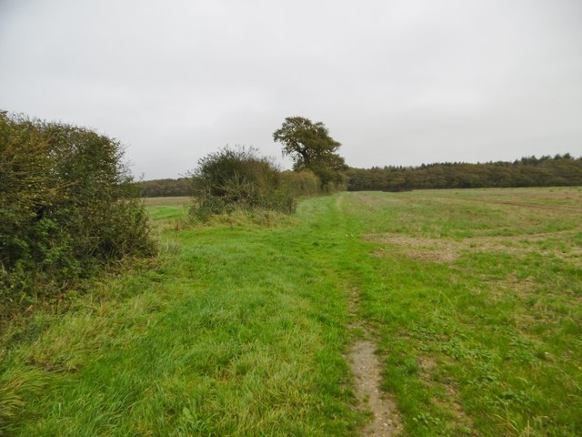
Baddesley benefits from its proximity to the South Downs National Park, offering residents and visitors the opportunity to explore the stunning natural surroundings. The village is well-connected by road, with the A32 passing nearby, providing easy access to other towns and cities in the region.
Overall, Baddesley, South, Hampshire is a charming village with a rich history and a peaceful countryside atmosphere, making it an ideal place for those seeking a rural retreat.
If you have any feedback on the listing, please let us know in the comments section below.
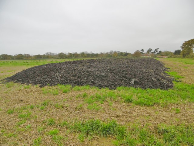
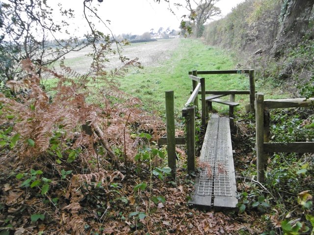
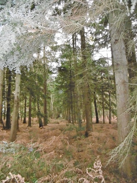
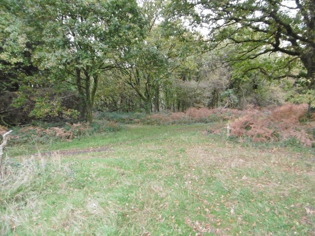
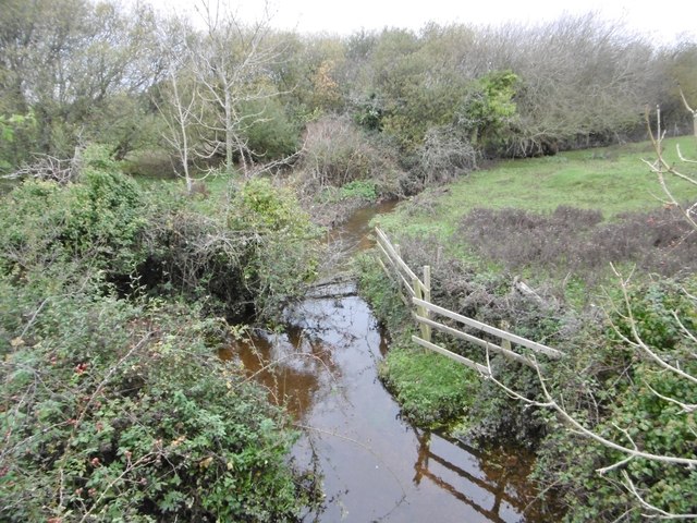
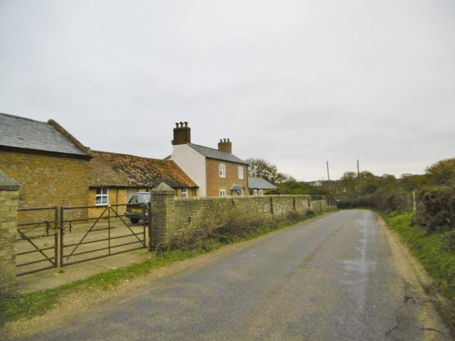
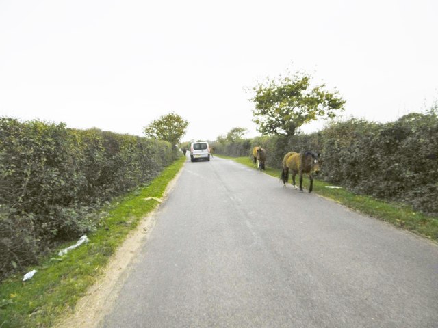
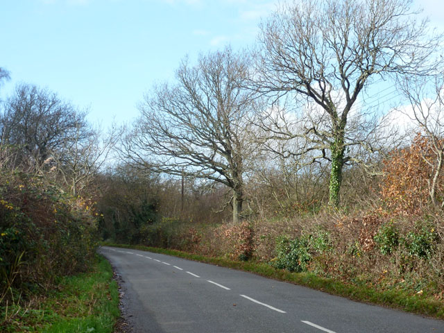
Baddesley, South Images
Images are sourced within 2km of 50.770283/-1.501216 or Grid Reference SZ3596. Thanks to Geograph Open Source API. All images are credited.


Baddesley, South is located at Grid Ref: SZ3596 (Lat: 50.770283, Lng: -1.501216)
Administrative County: Hampshire
District: New Forest
Police Authority: Hampshire
What 3 Words
///factored.confining.barefoot. Near Lymington, Hampshire
Nearby Locations
Related Wikis

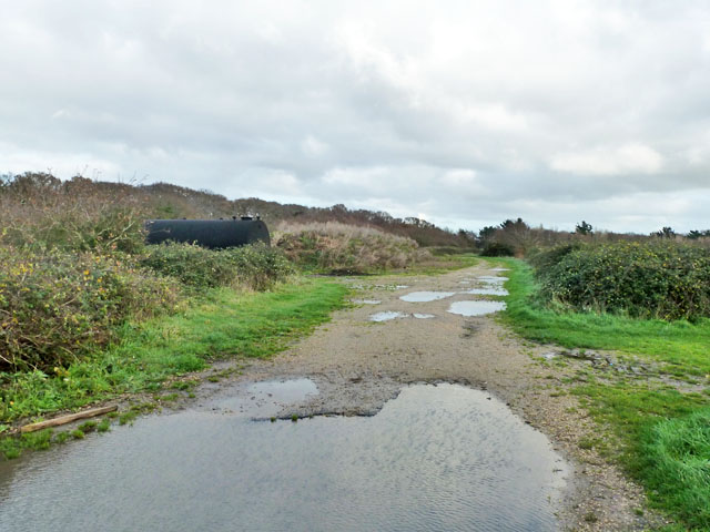
South Baddesley
South Baddesley is a small village in the civil parish of Boldre in the New Forest National Park of Hampshire, England. It lies 2.3 miles (3.7 km) north...

Norley Wood
Norley Wood (or Norleywood) is a hamlet in the New Forest National Park of Hampshire, England. It is in the civil parish of Boldre. Its nearest town...
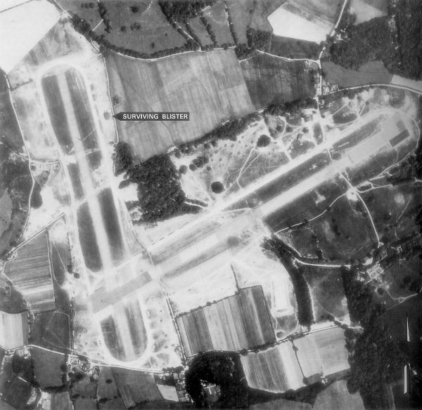
RAF Lymington
Royal Air Force Lymington or more simply RAF Lymington is a former Royal Air Force Advanced Landing Ground in Hampshire, England. The airfield is located...

Pylewell Park
Pylewell Park is a country house and park near Lymington in Hampshire. It is listed as grade II*. == History == A settlement on the site of Baddesley Manor...

Norley Copse and Meadow
Norley Copse and Meadow is a 7.5-hectare (19-acre) biological Site of Special Scientific Interest east of Lymington in Hampshire. It is part of New Forest...

East End, Hampshire
East End is a hamlet in the civil parish of East Boldre in the New Forest National Park of Hampshire, England. Its nearest town is Lymington, which lies...

Portmore, Hampshire
Portmore is a hamlet in the New Forest National Park of Hampshire, England. It is in the civil parish of Boldre. Its nearest town is Lymington, which...
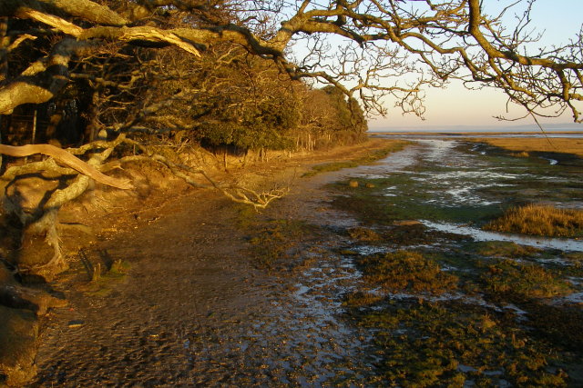
Boldre Foreshore
Boldre Foreshore is a 193.3-hectare (478-acre) Local Nature Reserve east of Lymington in Hampshire. It is owned by New Forest District Council and managed...
Nearby Amenities
Located within 500m of 50.770283,-1.501216Have you been to Baddesley, South?
Leave your review of Baddesley, South below (or comments, questions and feedback).