Alkham, South
Settlement in Kent Dover
England
Alkham, South
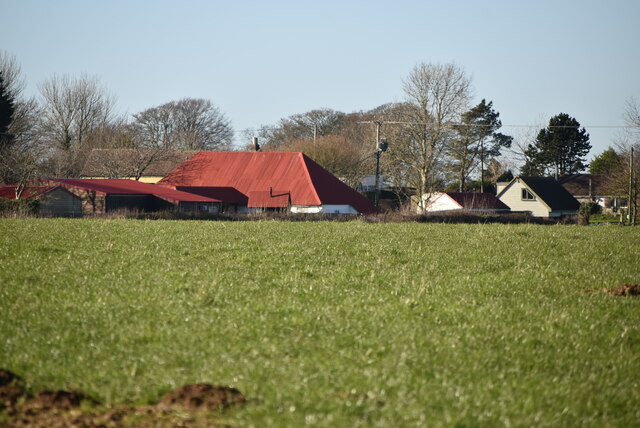
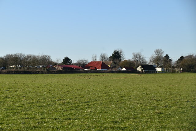
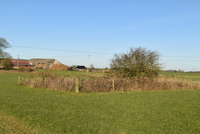
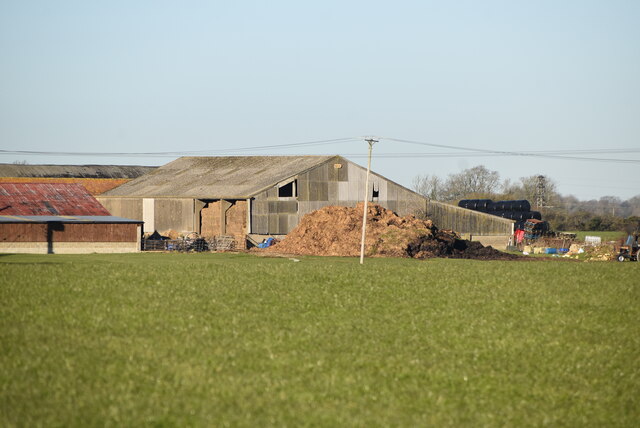
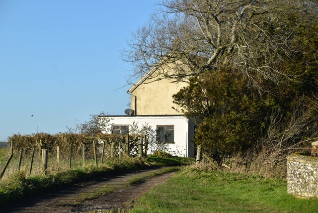
Alkham is a small village located in the county of Kent, in the southeastern part of England. Situated south of Dover, it falls within the Dover district. The village is set in a picturesque rural landscape, surrounded by rolling hills and lush green fields.
Alkham is known for its tranquil and peaceful atmosphere, making it a popular destination for those seeking a quiet retreat. The village is home to a close-knit community of residents who take pride in preserving the charm and character of their surroundings.
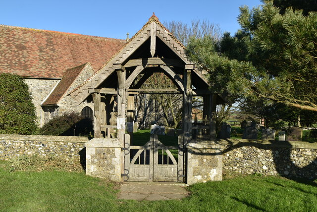
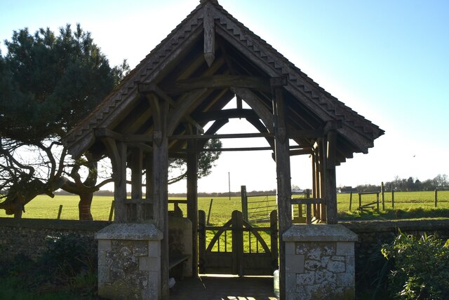
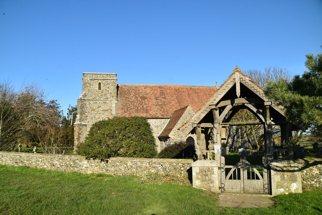
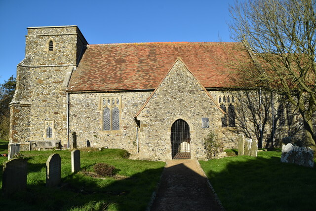
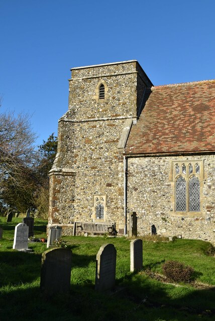
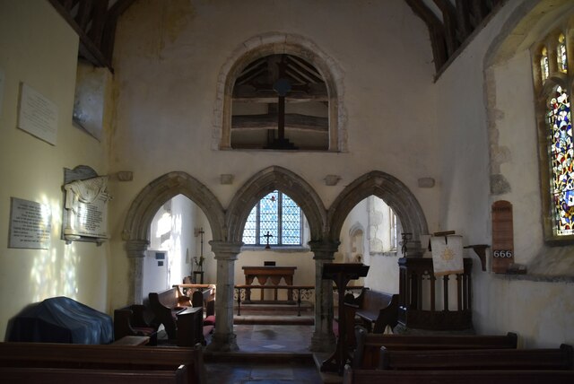
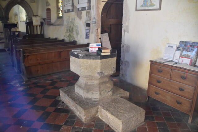
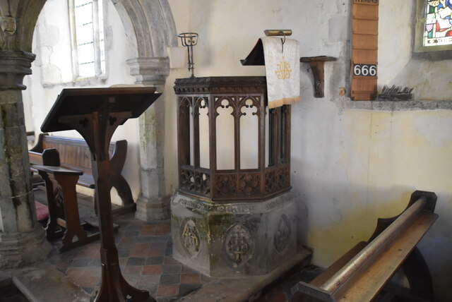
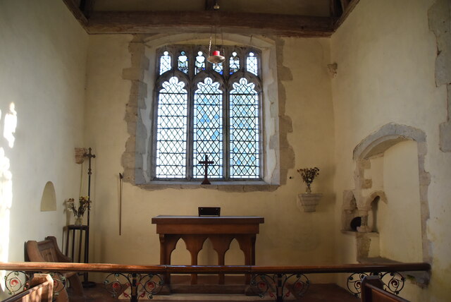
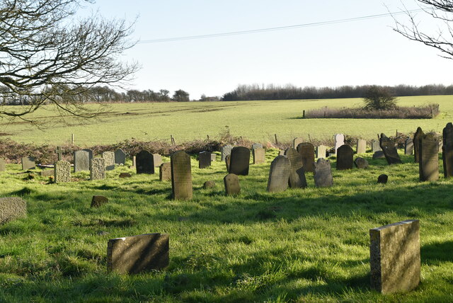
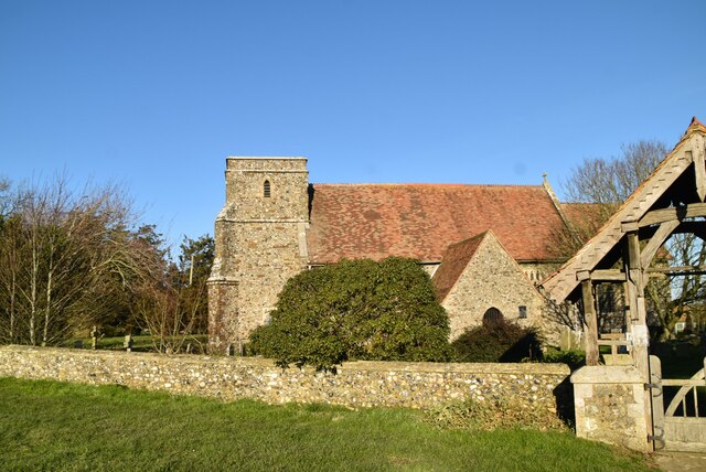
The village itself is small, with a population of around 500 people. It features a mix of historic and modern buildings, showcasing the area's rich architectural history. One notable landmark is the Church of St. Anthony, a 12th-century church known for its striking Norman architecture.
Nature enthusiasts will find plenty to explore in Alkham, as the village is surrounded by beautiful countryside. The nearby Alkham Valley offers scenic walking trails and stunning views of the surrounding area. Additionally, the village is just a short drive away from the iconic White Cliffs of Dover, a famous natural landmark that attracts visitors from around the world.
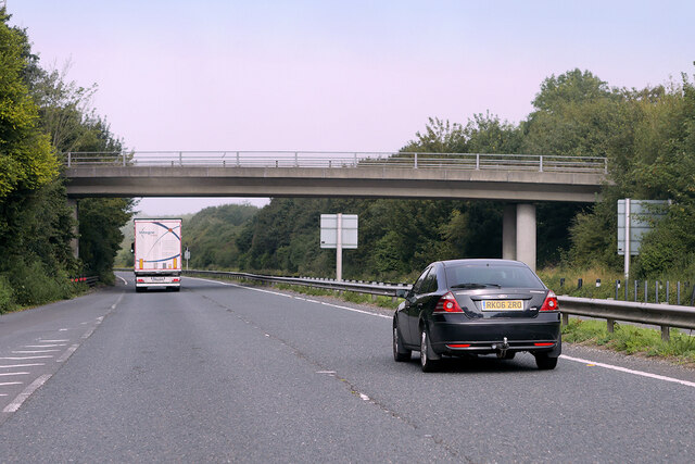
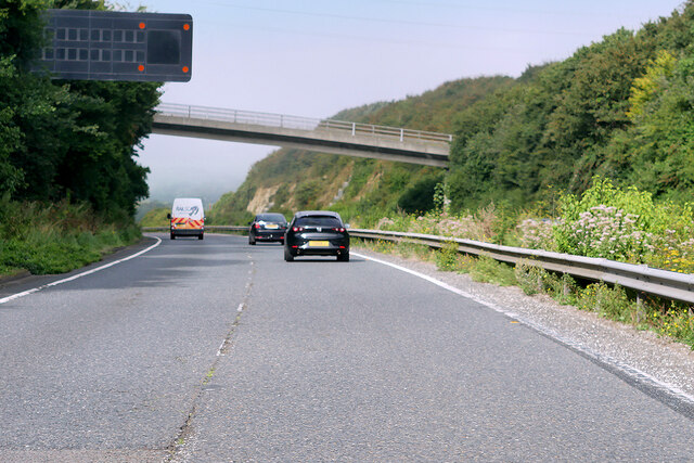
Despite its rural setting, Alkham is conveniently located close to major transportation routes. The M20 motorway can be easily accessed from the village, providing convenient links to London and other parts of the country.
In summary, Alkham is a charming and idyllic village in the heart of the Kent countryside. With its beautiful scenery, rich history, and friendly community, it offers a peaceful and welcoming place to reside or visit.
If you have any feedback on the listing, please let us know in the comments section below.
Alkham, South Images
Images are sourced within 2km of 51.129094/1.212235 or Grid Reference TR2441. Thanks to Geograph Open Source API. All images are credited.
Alkham, South is located at Grid Ref: TR2441 (Lat: 51.129094, Lng: 1.212235)
Administrative County: Kent
District: Dover
Police Authority: Kent
What 3 Words
///crowns.snippet.absorbing. Near Capel le Ferne, Kent
Nearby Locations
Related Wikis
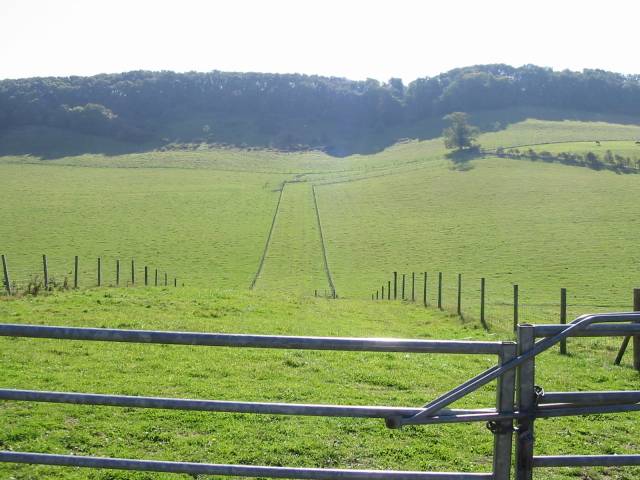
Alkham Valley
The Alkham Valley is in the Kent Downs (the eastern part of the North Downs), an Area of Outstanding Natural Beauty, in South East Kent, England. The valley...

Alkham
Alkham is a village and civil parish in the Dover district of Kent, England, about five miles west of Dover. Within the parish are the settlements of Chalksole...

Drellingore
Drellingore is a village in South East Kent, England. It lies in the Alkham Valley, an area of outstanding natural beauty between Folkestone and Dover...

Hougham Without
Hougham Without is a civil parish between Dover and Folkestone in southeast England. The main settlements are the villages of Church Hougham and West Hougham...
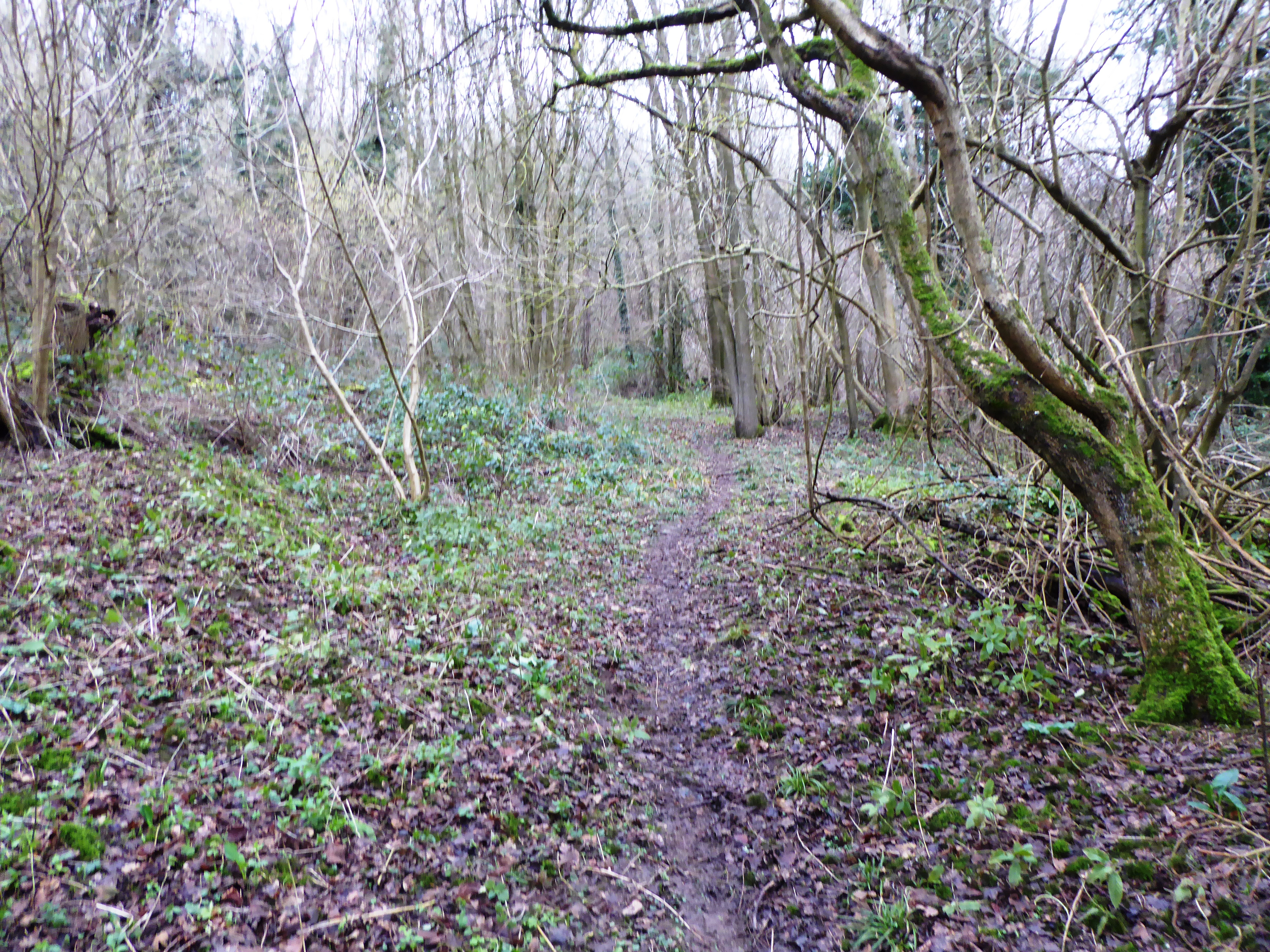
Sladden Wood
Sladden Wood is a 7-hectare (17-acre) nature reserve north of Alkham in Kent. It is managed by the Kent Wildlife Trust.The main trees in this wood are...

St Mary's Church, Capel-le-Ferne
St Mary's Church is a redundant Anglican church to the northeast of the village of Capel-le-Ferne, Kent, England. It is recorded in the National Heritage...

Ewell Minnis
Ewell Minnis is a village near Dover in Kent, England. The population is included in the civil parish of Alkham. See Stelling Minnis for information on...

St Peter's Church, Swingfield
St Peter's Church is a redundant Anglican church in the village of Swingfield, some 3 miles (5 km) northeast of Hawkinge, Kent, England. It is recorded...
Nearby Amenities
Located within 500m of 51.129094,1.212235Have you been to Alkham, South?
Leave your review of Alkham, South below (or comments, questions and feedback).