Acre, South
Settlement in Norfolk King's Lynn and West Norfolk
England
Acre, South
Acre, South is a small village located in the county of Norfolk, England. Situated approximately 10 miles south of the city of Norwich, this rural settlement is nestled amidst picturesque countryside, offering a tranquil and idyllic atmosphere.
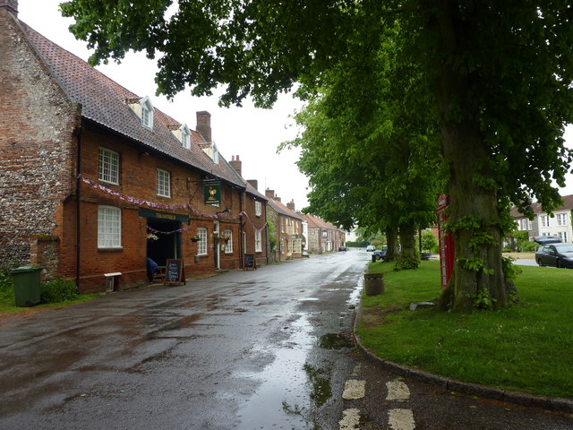
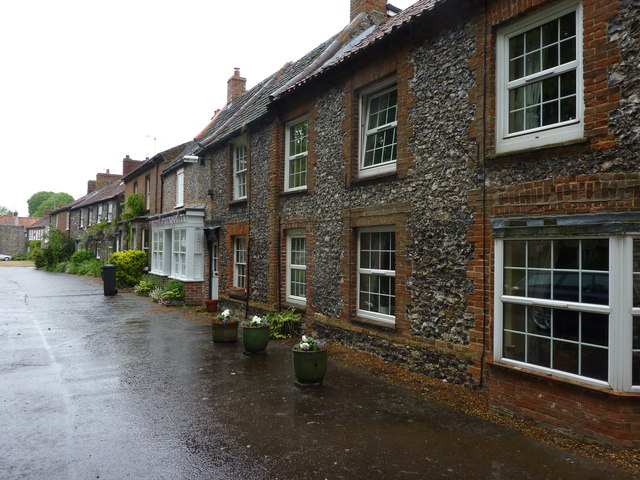
With a population of around 500 residents, Acre, South is a close-knit community where neighbors often know each other by name. The village is characterized by its charming and traditional architecture, with many well-preserved historic buildings dating back several centuries. The surrounding landscape is dominated by lush green fields, rolling hills, and meandering streams, creating a stunning backdrop for outdoor activities and leisurely walks.
Although primarily an agricultural area, Acre, South benefits from its close proximity to larger towns and cities, providing residents with access to a range of amenities and services. The village itself boasts a few local shops, a post office, and a cozy village pub that serves as a popular gathering spot for locals and visitors alike.
Nature enthusiasts will find plenty to explore in the vicinity of Acre, South. The area is home to several nature reserves, offering opportunities for birdwatching, hiking, and enjoying the region's rich biodiversity. The nearby Norfolk Broads, a network of navigable rivers and lakes, provide additional recreational options such as boating and fishing.
Overall, Acre, South offers a charming countryside retreat, where residents can enjoy a peaceful and picturesque lifestyle while still benefiting from the convenience of nearby urban centers.
If you have any feedback on the listing, please let us know in the comments section below.
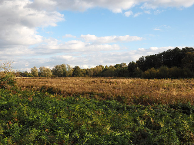
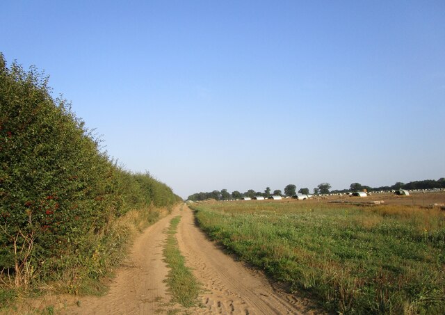
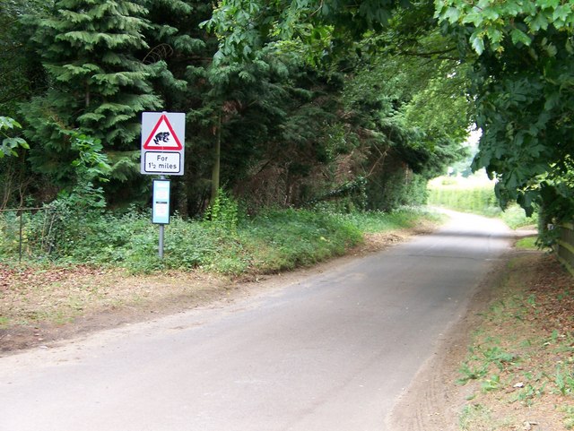
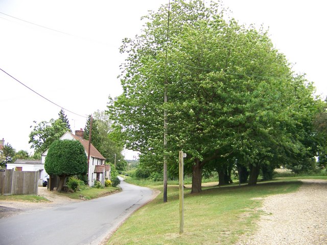
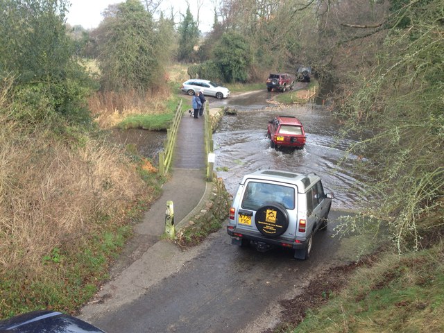
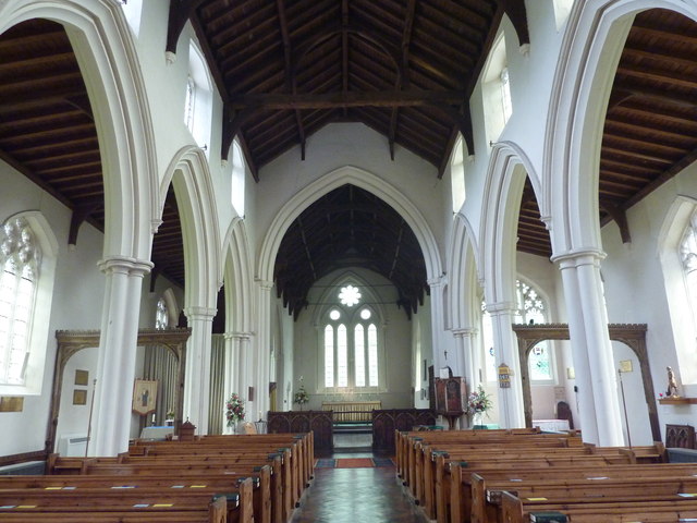
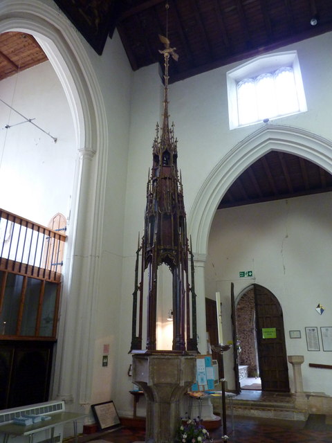
Acre, South Images
Images are sourced within 2km of 52.695955/0.67922022 or Grid Reference TF8114. Thanks to Geograph Open Source API. All images are credited.

Acre, South is located at Grid Ref: TF8114 (Lat: 52.695955, Lng: 0.67922022)
Administrative County: Norfolk
District: King's Lynn and West Norfolk
Police Authority: Norfolk
What 3 Words
///according.newsstand.animates. Near Swaffham, Norfolk
Nearby Locations
Related Wikis

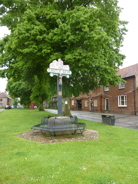
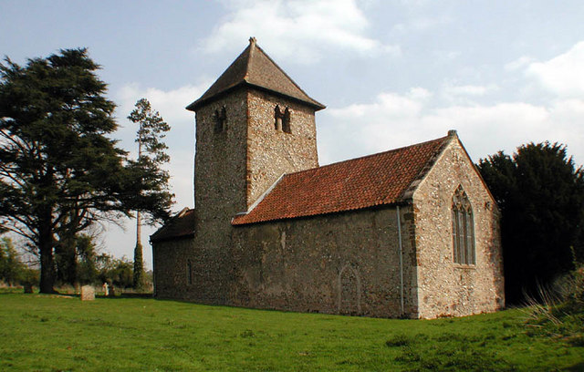
South Acre
South Acre is a village and civil parish in the English county of Norfolk. The village has almost disappeared, but the remnants are located about 1 km...

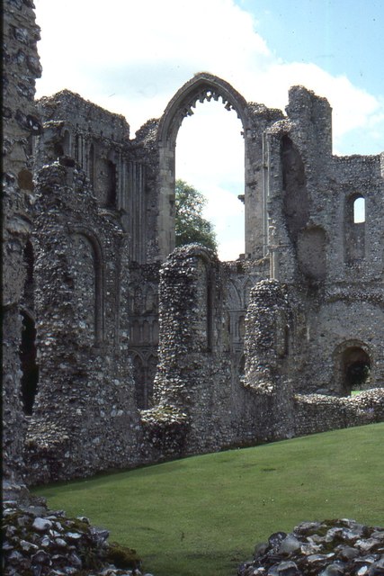
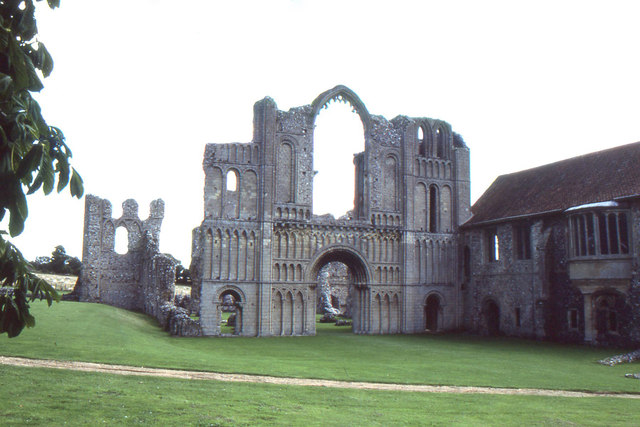
Castle Acre Priory
Castle Acre Priory was a Cluniac priory in the village of Castle Acre, Norfolk, England, dedicated to St Mary, St Peter, and St Paul. It is thought to...

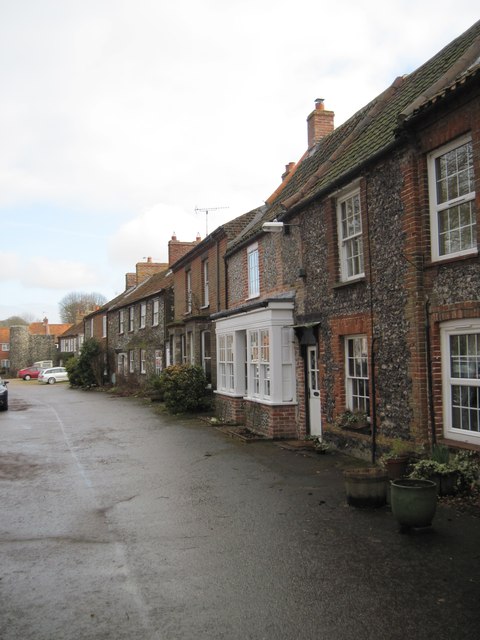
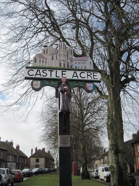
Castle Acre
Castle Acre is a village and civil parish in the English county of Norfolk. The village is situated on the River Nar some 4 miles (6.4 km) north of the...

Castle Acre Common
Castle Acre Common is a 17.8-hectare (44-acre) biological Site of Special Scientific Interest east of King's Lynn in Norfolk.This unimproved grazing marsh...
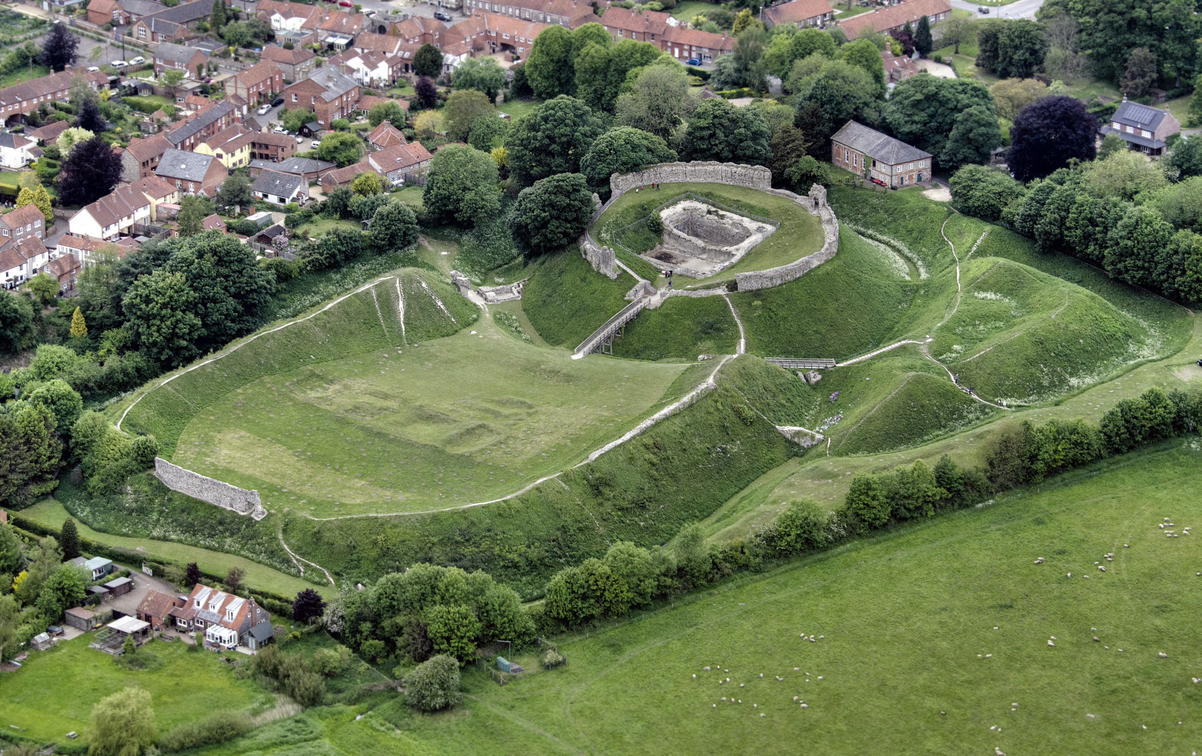
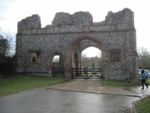
Castle Acre Castle and town walls
Castle Acre Castle and town walls are a set of ruined medieval defences built in the village of Castle Acre, Norfolk. The castle was built soon after the...
Newton by Castle Acre
Newton by Castle Acre is a village, Anglican parish and civil parish in the Breckland district of the English county of Norfolk. It is situated on the...

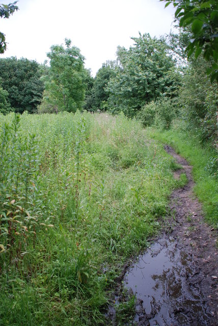
Peddars Way
The Peddars Way is a long distance footpath that passes through Suffolk and Norfolk, England. == Route == The Peddars Way is 46 miles (74 km) long and...

West Acre Priory
West Acre Priory of St. Mary and All Saints was a medieval monastic house at West Acre in the King's Lynn and West Norfolk district of Norfolk, England...
Nearby Amenities
Located within 500m of 52.695955,0.67922022Have you been to Acre, South?
Leave your review of Acre, South below (or comments, questions and feedback).