Decoy Plantation
Wood, Forest in Norfolk Breckland
England
Decoy Plantation
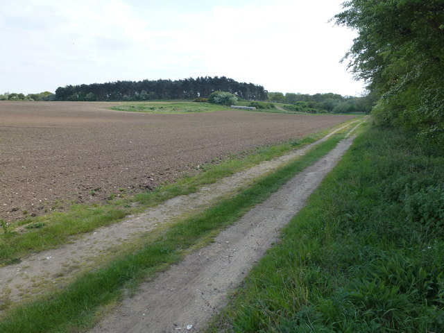
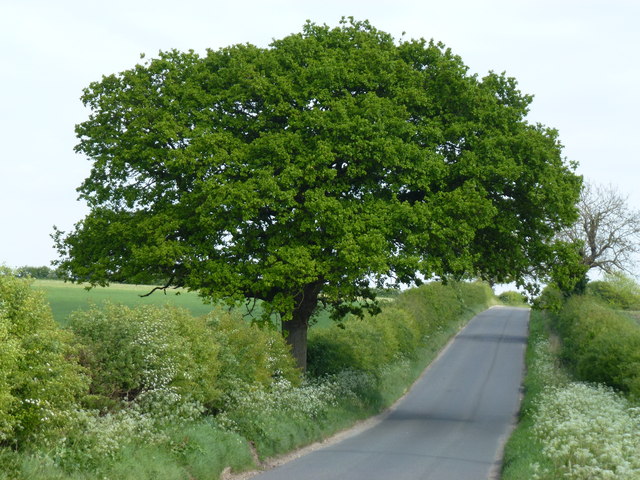
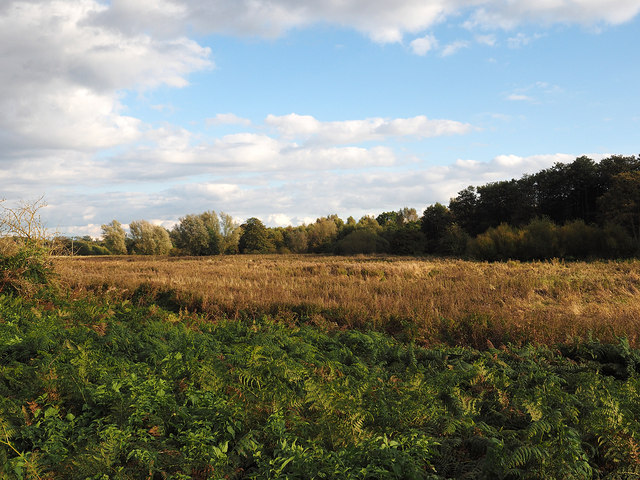
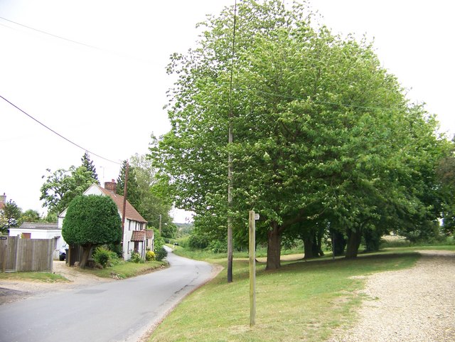
Decoy Plantation is a sprawling woodland located in Norfolk, England. Covering an expansive area, the plantation is known for its picturesque landscapes and diverse ecosystem. The plantation is situated in close proximity to the village of Woodton, making it easily accessible for both locals and tourists alike.
The woodland is primarily composed of native tree species, including oak, beech, and birch, which contribute to the vibrant and lush atmosphere. These trees provide a home to a variety of wildlife, such as deer, squirrels, and a wide array of bird species. Nature enthusiasts will find themselves captivated by the plantation's rich biodiversity.
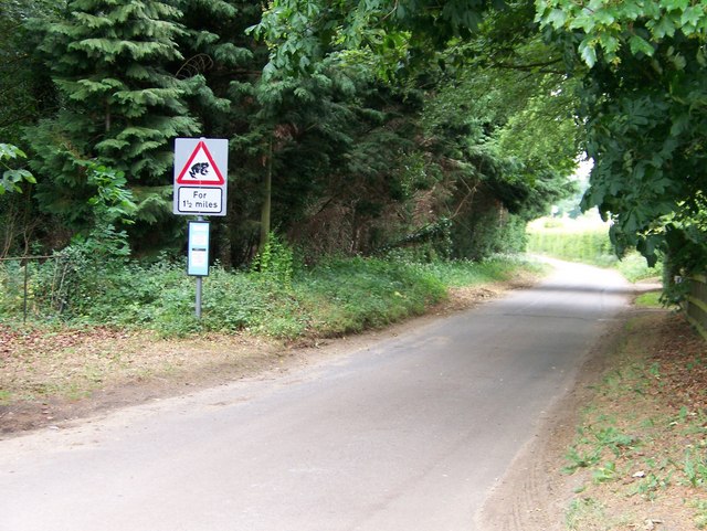
Decoy Plantation offers a range of recreational activities for visitors to enjoy. There are numerous walking trails that wind through the woodland, allowing visitors to explore its beauty at their own pace. These trails are well-maintained and offer stunning views of the surrounding countryside. The plantation also features designated picnic areas, providing a perfect spot for visitors to relax and immerse themselves in the tranquil environment.
The plantation holds historical significance as well. It was originally established as a decoy for wildfowl in the 18th century, hence its name. Decoys were used to attract and capture birds for food or sport, but today the plantation is strictly a nature reserve and recreational area.
Overall, Decoy Plantation in Norfolk is a must-visit destination for those seeking solace in nature. Its enchanting woodlands, diverse wildlife, and recreational activities make it a perfect retreat for individuals and families alike.
If you have any feedback on the listing, please let us know in the comments section below.
Decoy Plantation Images
Images are sourced within 2km of 52.698699/0.67918107 or Grid Reference TF8114. Thanks to Geograph Open Source API. All images are credited.

Decoy Plantation is located at Grid Ref: TF8114 (Lat: 52.698699, Lng: 0.67918107)
Administrative County: Norfolk
District: Breckland
Police Authority: Norfolk
What 3 Words
///placed.drizzly.finally. Near Swaffham, Norfolk
Nearby Locations
Related Wikis

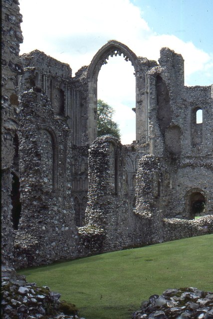
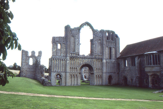
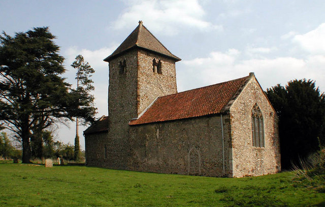
Castle Acre Priory
Castle Acre Priory was a Cluniac priory in the village of Castle Acre, Norfolk, England, dedicated to St Mary, St Peter, and St Paul. It is thought to...

South Acre
South Acre is a village and civil parish in the English county of Norfolk. The village has almost disappeared, but the remnants are located about 1 km...

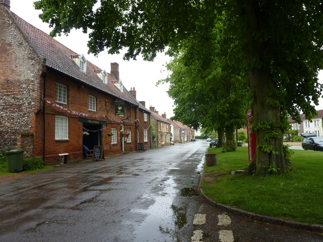
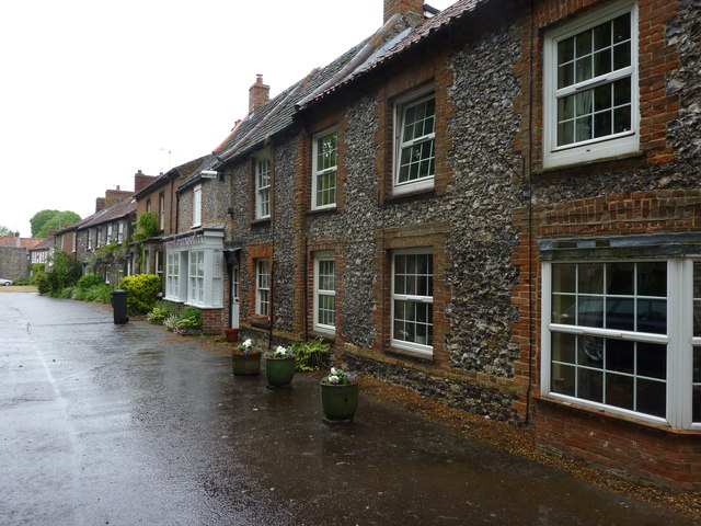
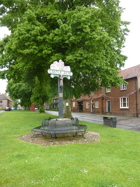
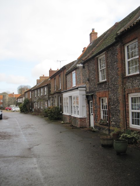
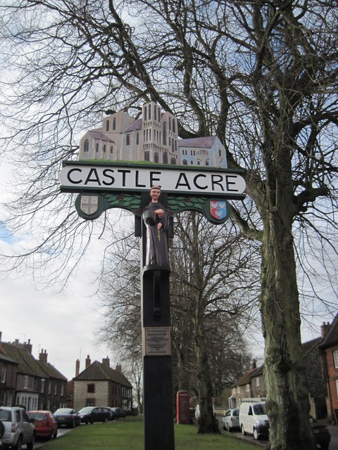
Castle Acre
Castle Acre is a village and civil parish in the English county of Norfolk. The village is situated on the River Nar some 4 miles (6.4 km) north of the...

Castle Acre Common
Castle Acre Common is a 17.8-hectare (44-acre) biological Site of Special Scientific Interest east of King's Lynn in Norfolk.This unimproved grazing marsh...
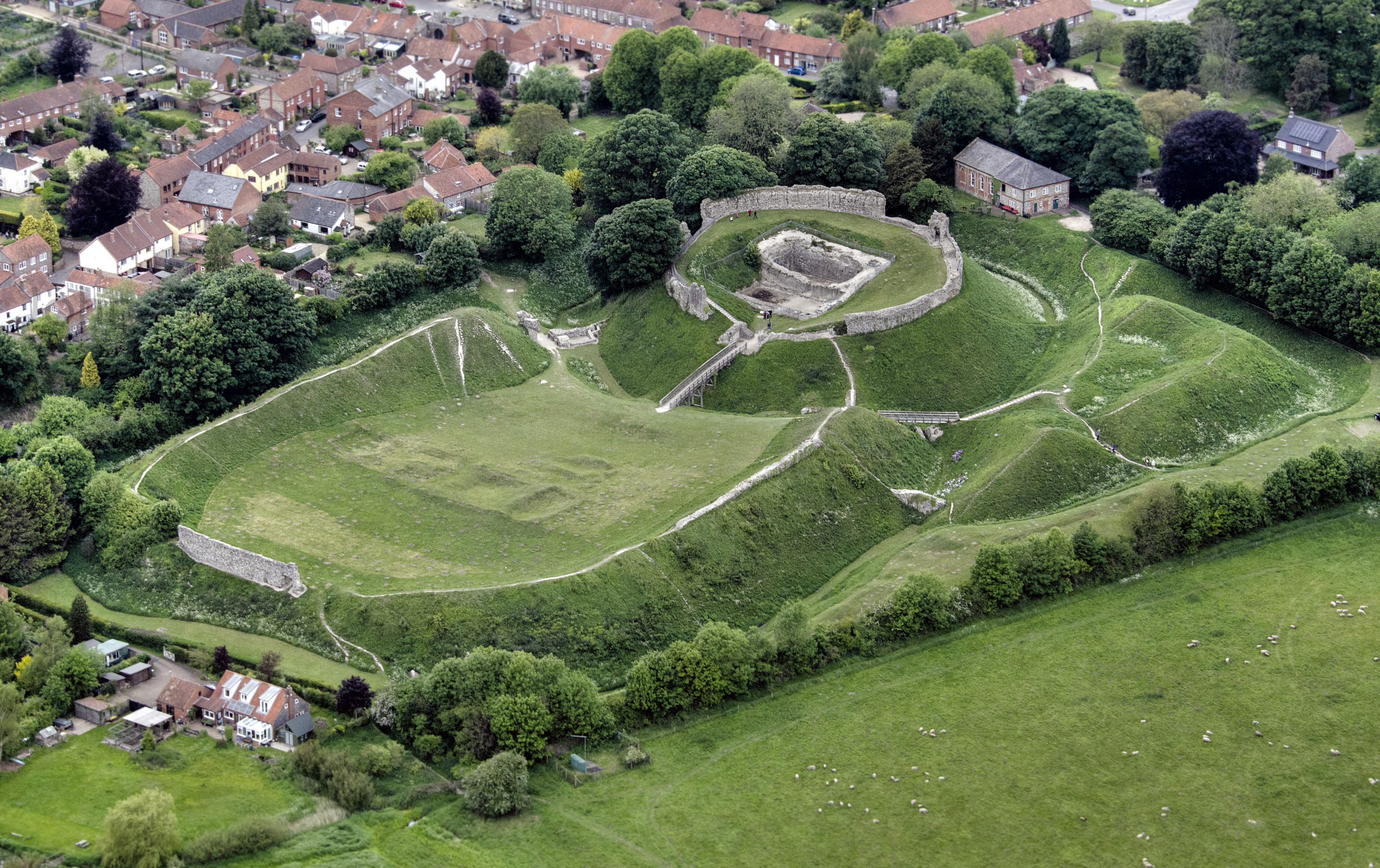
Castle Acre Castle and town walls
Castle Acre Castle and town walls are a set of ruined medieval defences built in the village of Castle Acre, Norfolk. The castle was built soon after the...
Newton by Castle Acre
Newton by Castle Acre is a village, Anglican parish and civil parish in the Breckland district of the English county of Norfolk. It is situated on the...

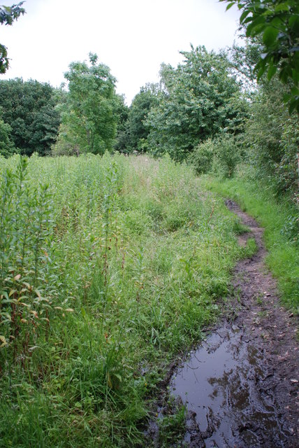
Peddars Way
The Peddars Way is a long distance footpath that passes through Suffolk and Norfolk, England. == Route == The Peddars Way is 46 miles (74 km) long and...

West Acre Priory
West Acre Priory of St. Mary and All Saints was a medieval monastic house at West Acre in the King's Lynn and West Norfolk district of Norfolk, England...
Nearby Amenities
Located within 500m of 52.698699,0.67918107Have you been to Decoy Plantation?
Leave your review of Decoy Plantation below (or comments, questions and feedback).