Somersham

Settlement in Huntingdonshire Huntingdonshire

England

Somersham

St John the Baptist, Somersham: late September 2021
St John the Baptist, Somersham: late September 2021 Credit: Basher Eyre

The requested URL returned error: 429 Too Many Requests

If you have any feedback on the listing, please let us know in the comments section below.
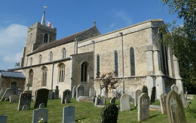
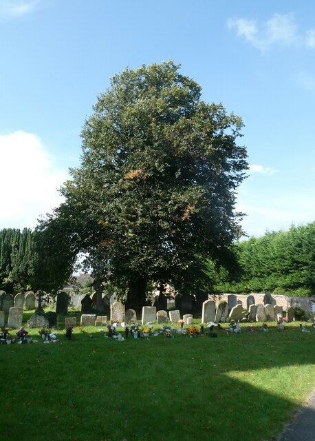
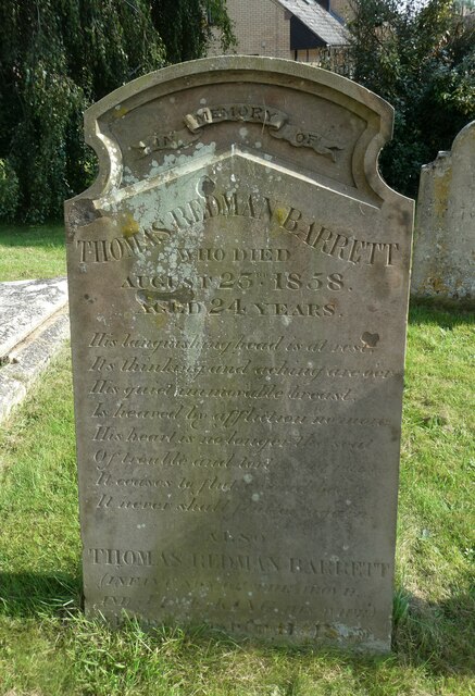
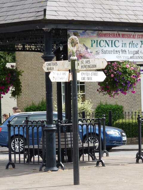
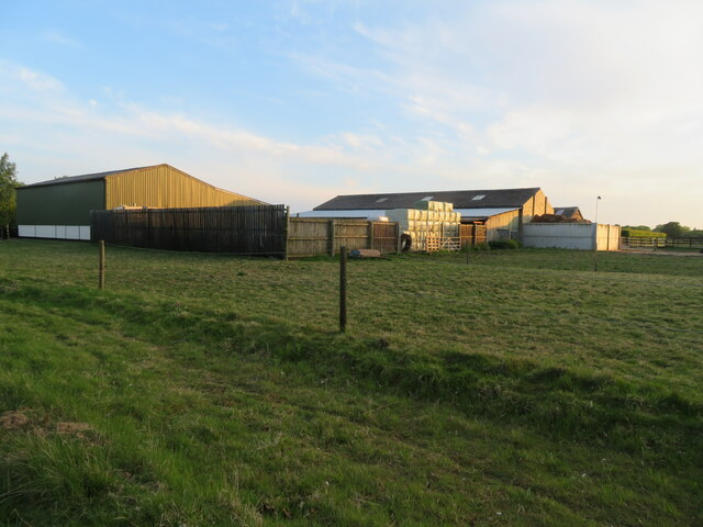
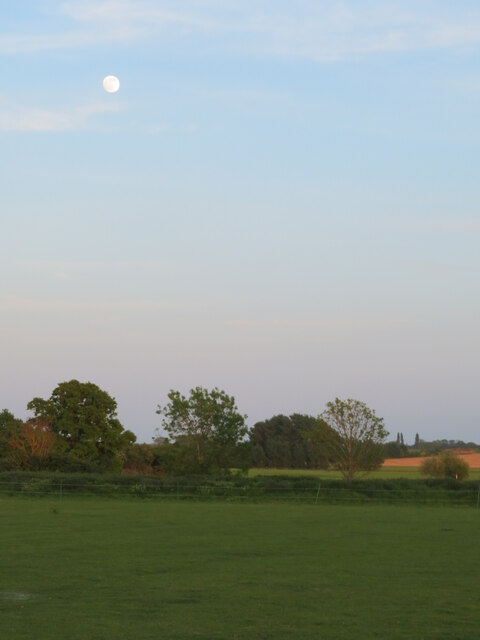
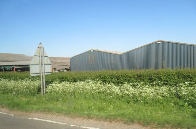
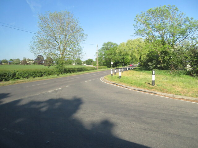
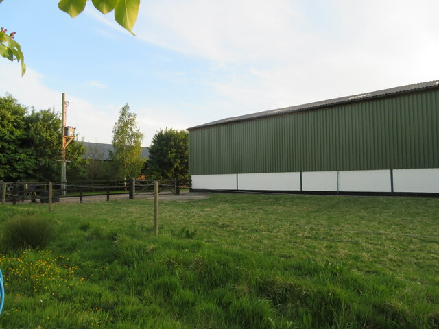
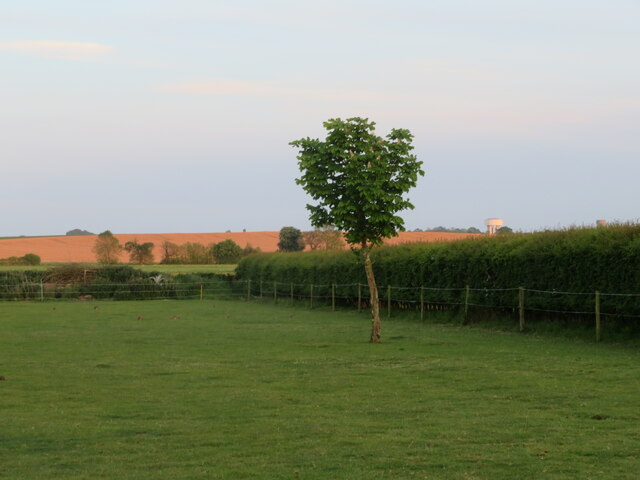
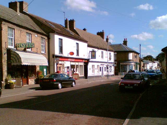
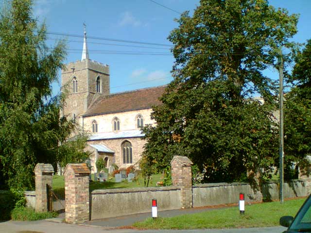
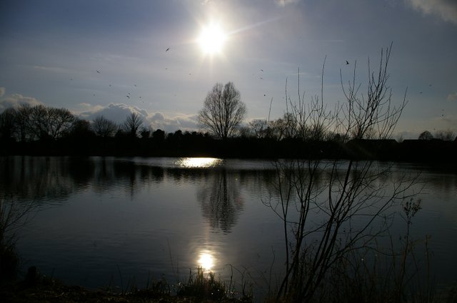
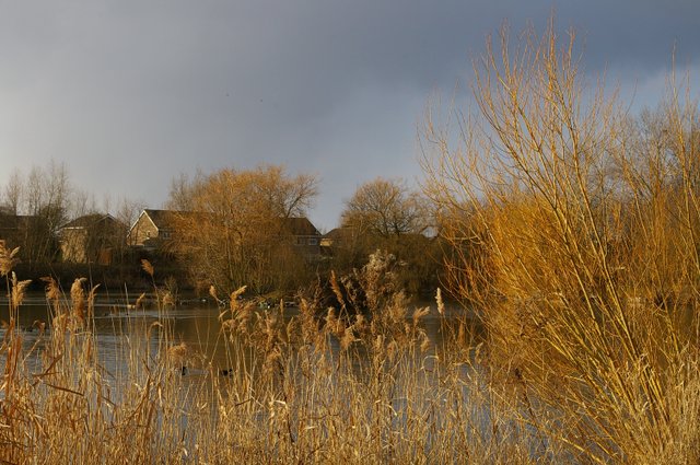
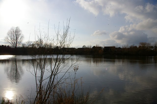
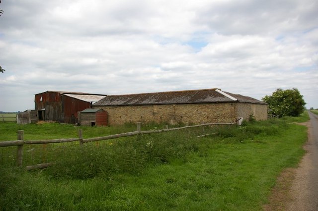
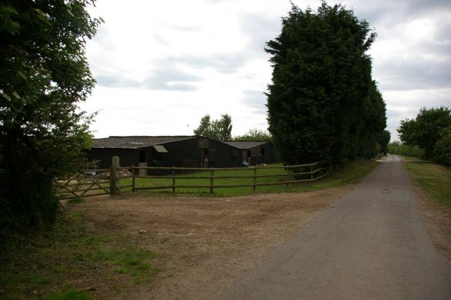
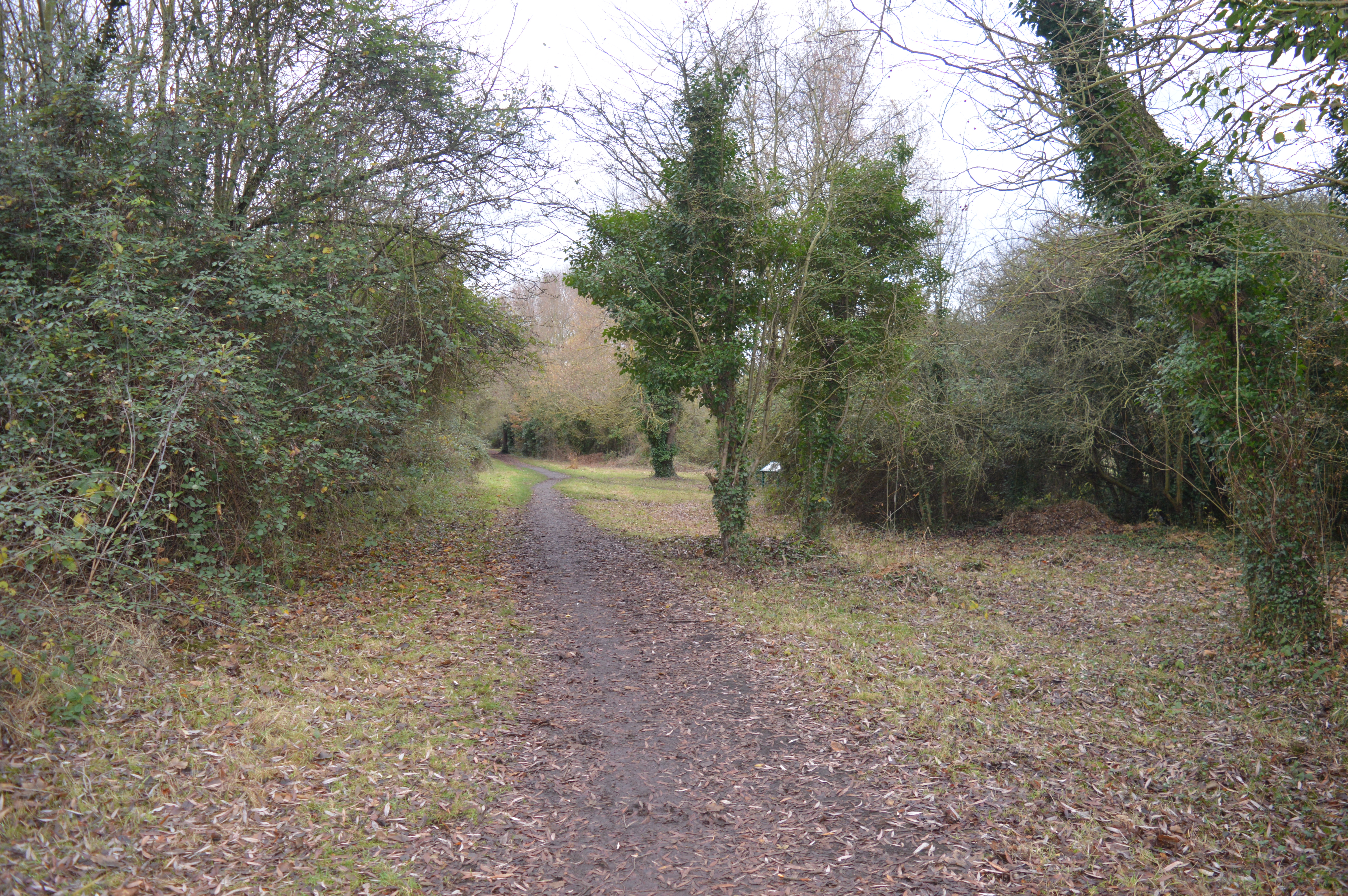
Somersham Images

Images are sourced within 2km of 52.38255/-0.002154 or Grid Reference TL3677. Thanks to Geograph Open Source API. All images are credited.

St John the Baptist, Somersham: late September 2021
St John the Baptist, Somersham: churchyard
St John the Baptist, Somersham: gravestone
Direction Sign – Signpost on the B1086 High Street in Somersham Located on an island on the southeast side of the crossroads of the B1086 High Street, Church Street and Parkhall Road in Somersham parish. 4 arms and annulus finial. 

Milestone Society National ID: HU_TL3677
Direction Sign – Signpost on the B1086 High Street in Somersham
Located on an island on the southeast side of the crossroads of the B1086 High Street, Church Street and Parkhall Road in Somersham parish. 4 arms and annulus finial. Milestone Society National ID: HU_TL3677
Somersham, West End Farm buildings and pasture.
Somersham, West End
Farm buildings and pasture.
Full moon at Somersham Looking south from Heath View Close.
Full moon at Somersham
Looking south from Heath View Close.
Buildings at Park Farm On the B1086 south of Somersham.
Buildings at Park Farm
On the B1086 south of Somersham.
Course of old railway Looking NW along the old Great Eastern Railway, Somersham to Warboys and Ramsey.
The line opened in 1848. Now a golf course but this section is used as the Rothschild Way and Pathfinder Way long distance paths.
See also <a href="https://www.geograph.org.uk/photo/4703849">TL3678 : Flooded former railway cutting in Somersham, Cambridgeshire</a> <a href="https://www.geograph.org.uk/photo/4187981">TL3678 : Course of former railway, Somersham, Hunts</a>
Course of old railway
Looking NW along the old Great Eastern Railway, Somersham to Warboys and Ramsey. The line opened in 1848. Now a golf course but this section is used as the Rothschild Way and Pathfinder Way long distance paths. See also TL3678 : Flooded former railway cutting in Somersham, Cambridgeshire TL3678 : Course of former railway, Somersham, Hunts
The B1089 meets the B1086 west of Somersham Rural road junction.
The B1089 meets the B1086 west of Somersham
Rural road junction.
Farm barn, near Somersham Off Heath View Close.
Farm barn, near Somersham
Off Heath View Close.
Farmland at Somersham Looking south from Heath View Close. Note two water towers on the right in the distance at Bluntisham in <a href="https://www.geograph.org.uk/gridref/TL3675">TL3675</a>.
Farmland at Somersham
Looking south from Heath View Close. Note two water towers on the right in the distance at Bluntisham in TL3675.
High Street, Somersham View looking east along Somersham High Street towards the junction with Church Street.
High Street, Somersham
View looking east along Somersham High Street towards the junction with Church Street.
St John The Baptist Church, Somersham View of the church from Church Street.
St John The Baptist Church, Somersham
View of the church from Church Street.
Somersham Lakes
Somersham Lakes
Somersham Lakes with housing estate in background Despite the apparent autumnal nature of this picture, it was actually taken in spring.  Evidence of the seasons becoming disturbed, perhaps?
Somersham Lakes with housing estate in background
Despite the apparent autumnal nature of this picture, it was actually taken in spring. Evidence of the seasons becoming disturbed, perhaps?
Somersham Lakes
Somersham Lakes
Farm buildings
Farm buildings
Show me another place!

Somersham is located at Grid Ref: TL3677 (Lat: 52.38255, Lng: -0.002154)

Administrative County: Cambridgeshire

District: Huntingdonshire

Police Authority: Cambridgeshire

What 3 Words

///narrate.bells.inflamed. Near Somersham, Cambridgeshire

Nearby Locations

Somersham Park Fields

Related Wikis

Somersham

Somersham is a village and civil parish in Cambridgeshire, England. Somersham lies approximately 9 miles (14 km) east of Huntingdon and 4 miles (6 km)...

Somersham Town F.C.

Somersham Town Football Club is a football club based in Somersham, near St Ives in Cambridgeshire, England. They club are members of the Cambridgeshire...

Somersham Local Nature Reserve

Somersham Local Nature Reserve is an 8.9 hectare Local Nature Reserve in Somersham in Cambridgeshire. It is owned and managed by Cambridgeshire County...

Somersham railway station

Somersham railway station was a station in Somersham, Cambridgeshire on the Great Eastern Railway between March and St Ives. There was also a branch line...

Nearby Amenities

Located within 500m of 52.38255,-0.002154
Crossing
Crossing: uncontrolled
Crossing Ref: zebra
Lat/Long: 52.3826561/-0.0023831
Somersham
Is In: UK,England,Huntingdonshire
Is In Country: UK
Is In County: Cambridgeshire
Is In Historic County: Huntingdonshire
Place: village
Wikidata: Q970106
Wikipedia: en:Somersham
Lat/Long: 52.3831577/-0.0007129
News & Food
Shop: convenience
Source: survey
Lat/Long: 52.3856281/0.0031821
Fuel
Somersham Fast Fit - Cole & Day
Note: More a general purpose garage + shop than just a petrol station.
Lat/Long: 52.3808542/0.0044047
Bus Stop
Bus: yes
Operator: Go Whippet
Public Transport: platform
Source: survey
Lat/Long: 52.3807197/0.0036862
Note: Full extent not surveyed.
Lat/Long: 52.3816813/0.0047379
Parking
Access: private
Note: Parking bays for adjacent houses.
Source: survey
Lat/Long: 52.3806608/0.0023653
Note: Some kind of Transco substation; maybe gas.
Lat/Long: 52.3799105/-0.0031106
Note: What looks like a street sign for "Brookers Place" here but doesn't seem to refer to the road it's on... Weird.
Lat/Long: 52.3813975/0.0017893
Post Box
Postal Code: PE28
Ref: PE28 284
Source: survey
Lat/Long: 52.3842678/0.0036775
Parking
Access: private
Note: Residents' parking.
Lat/Long: 52.3820829/0.00061
Second World War Memorial
Historic: memorial
Source: survey
Lat/Long: 52.3824853/-0.0016528
Somersham Millennium Stone
Historic: memorial
Source: survey
Lat/Long: 52.381679/-0.0025484
Parking
Source: survey
Lat/Long: 52.3814583/-0.0019147
Post Box
Note: I don't know if this is "active" or decommisioned. Probably the latter...
Source: survey
Lat/Long: 52.3815171/-0.0033011
Noexit: yes
Lat/Long: 52.3815949/-0.0036179
Disused Amenity: watering_place
Note: A water source - didn't seem to work when I was there.
Lat/Long: 52.3815791/-0.0036199
Note: A tap, don't know if it works.
Water Source: tap
Lat/Long: 52.3823265/-0.0038582
Library
Community Information Centre
Note: I *think* this is a small library.
Lat/Long: 52.3815652/-0.0023949
Booth: K6
Colour: red
Covered: booth
Description: Red phone box with telephone removed
Disused Amenity: telephone
Listed Status: Grade II
Man Made: telephone_box
Source: survey
Wikidata: Q26423416
Lat/Long: 52.382446/-0.0020704
Pub
Rose & Crown
Source: survey
Wikidata: Q26604262
Lat/Long: 52.382742/-0.0022312
Doctors
Church Street Health Centre
Healthcare: doctor
Source: survey
Lat/Long: 52.3818549/-0.0022465
Milestone
Note: Looks like an old historic milestone.
Lat/Long: 52.3817618/-0.0087582
Childcare
Parkhall Playgroup
Lat/Long: 52.3860162/-0.0019395
Post Box
Postal Code: PE28
Ref: PE28 231
Lat/Long: 52.3864112/0.0001396
Bus Stop
Coronation Avenue
Bus: yes
Naptan AtcoCode: 0500HSOME011
Naptan Bearing: N
Naptan CommonName: Coronation Avenue
Naptan Indicator: opp
Naptan Landmark: Coronation Avenue
Naptan NaptanCode: cmbdpwaj
Naptan ShortCommonName: Coronation Avenue
Naptan Street: Parkhall Road
Naptan Verified: no
Note: Shares pole with Stagecoach sign.;15 stops here.
Operator: Stagecoach;Go Whippet;whippet
Public Transport: platform
Source: survey;naptan_import
Lat/Long: 52.3865061/0.0001672
Shepperds Terrace
Fixme: Not sure what street this is officially on, I think it might be a named building that's possibly logically on the high street.
Landuse: residential
Source: survey
Lat/Long: 52.3828952/-0.0059317
Bus Stop
Bus: yes
Note: Shares pole with Stagecoach sign.
Operator: Go Whippet
Public Transport: platform
Source: survey
Lat/Long: 52.3828473/-0.0030139
Bus Stop
Bus: yes
Note: 15 stops here.
Operator: Stagecoach
Public Transport: platform
Lat/Long: 52.3828333/-0.0030112
Bus Stop
Bus: yes
Note: 15 stops here.
Operator: Stagecoach
Public Transport: platform
Source: survey
Lat/Long: 52.3827365/-0.0030507
Post Box
Note: Annoyingly the post office had covered up the ref number with a sticker. Grrr.
Post Box Design: type_k
Post Box Type: pillar
Royal Cypher: EIIR
Royal Cypher Wikidata: Q33102113
Source: survey
Lat/Long: 52.3827535/-0.0025002
Post Office
Somersham Post Office
Brand: Post Office
Brand Wikidata: Q1783168
Check Date: 2023-09-27
Operator: One Stop
Ref Pol Id: 12036
Source: survey
Website: https://www.postoffice.co.uk/branch-finder/3002306/somersham
Lat/Long: 52.3827654/-0.0024452
One Stop
Brand: One Stop
Brand Wikidata: Q65954217
Check Date: 2011-01-29
Shop: convenience
Source: survey
Lat/Long: 52.3827781/-0.0024111
Bus Stop
Springfield
Bus: yes
Naptan AtcoCode: 0500HSOME002
Naptan Bearing: NW
Naptan BusStopType: CUS
Naptan CommonName: Springfield
Naptan Indicator: opp
Naptan Landmark: Springfield
Naptan NaptanCode: cmbdptwa
Naptan ShortCommonName: Springfield
Naptan Street: Feoffees Road
Naptan Verified: no
Public Transport: platform
Source: naptan_import
Lat/Long: 52.3841787/0.0037945
Bus Stop
Springfield
Bus: yes
Naptan AtcoCode: 0500HSOME003
Naptan Bearing: SE
Naptan CommonName: Springfield
Naptan Indicator: near
Naptan Landmark: Springfield
Naptan NaptanCode: cmbdptwd
Naptan ShortCommonName: Springfield
Naptan Street: Feoffees Road
Naptan Verified: no
Public Transport: platform
Source: naptan_import
Lat/Long: 52.3842406/0.0038561
Bus Stop
Feoffees Road
Bus: yes
Naptan AtcoCode: 0500HSOME006
Naptan Bearing: SE
Naptan BusStopType: CUS
Naptan CommonName: Feoffees Road
Naptan Indicator: near
Naptan Landmark: Feoffees Road
Naptan NaptanCode: cmbdptwm
Naptan ShortCommonName: Feoffees Road
Naptan Street: High Street
Naptan Verified: no
Public Transport: platform
Source: naptan_import
Lat/Long: 52.3814499/0.0008644
Bus Stop
Colne Road
Bus: yes
Naptan AtcoCode: 0500HSOME008
Naptan Bearing: E
Naptan CommonName: Colne Road
Naptan Indicator: opp
Naptan Landmark: Colne Road
Naptan NaptanCode: cmbdptwt
Naptan ShortCommonName: Colne Road
Naptan Street: High Street
Naptan Verified: no
Note: The 15 stops here. Shares a pole with a Go Whippet stop.
Operator: Stagecoach
Public Transport: platform
Source: naptan_import;survey
Lat/Long: 52.3807188/0.0036819
Bus Stop
Colne Road
Bus: yes
Naptan AtcoCode: 0500HSOME009
Naptan Bearing: W
Naptan CommonName: Colne Road
Naptan Indicator: near
Naptan Landmark: Colne Road
Naptan NaptanCode: cmbdpwad
Naptan ShortCommonName: Colne Road
Naptan Street: High Street
Naptan Verified: no
Note: 15 stops here.
Operator: Stagecoach
Public Transport: platform
Source: naptan_import;survey
Lat/Long: 52.3806182/0.0037802
Bus Stop
Windsor Gardens
Bus: yes
Naptan AtcoCode: 0500HSOME010
Naptan Bearing: SW
Naptan CommonName: Windsor Gardens
Naptan Indicator: near
Naptan Landmark: Windsor Gardens
Naptan NaptanCode: cmbdpwag
Naptan ShortCommonName: Windsor Gardens
Naptan Street: Feoffees Road
Naptan Verified: no
Public Transport: platform
Source: naptan_import
Lat/Long: 52.3832006/0.0036768
Bus Stop
Coronation Avenue
Bus: yes
Naptan AtcoCode: 0500HSOME012
Naptan Bearing: S
Naptan BusStopType: CUS
Naptan CommonName: Coronation Avenue
Naptan Indicator: near
Naptan Landmark: Coronation Avenue
Naptan NaptanCode: cmbdpwam
Naptan ShortCommonName: Coronation Avenue
Naptan Street: Parkhall Road
Naptan Verified: no
Operator: whippet;stagecoach;Go Whippet
Public Transport: platform
Source: naptan_import
Lat/Long: 52.3864956/0.0002549
Bus Stop
Parkhall Road
Bus: yes
Naptan AtcoCode: 0500HSOME013
Naptan Bearing: W
Naptan CommonName: Parkhall Road
Naptan Indicator: opp
Naptan Landmark: Parkhall Road
Naptan NaptanCode: cmbdpwap
Naptan ShortCommonName: Parkhall Road
Naptan Street: High Street
Naptan Verified: no
Public Transport: platform
Source: naptan_import
Lat/Long: 52.3825416/-0.0020104
Bus Stop
Parkhall Road
Bus: yes
Naptan AtcoCode: 0500HSOME014
Naptan Bearing: E
Naptan BusStopType: CUS
Naptan CommonName: Parkhall Road
Naptan Indicator: near
Naptan Landmark: Parkhall Road
Naptan NaptanCode: cmbdpwat
Naptan ShortCommonName: Parkhall Road
Naptan Street: High Street
Naptan Verified: no
Public Transport: platform
Source: naptan_import
Lat/Long: 52.3826672/-0.0022012
Bus Stop
King Street
Bus: yes
Naptan AtcoCode: 0500HSOME015
Naptan Bearing: E
Naptan CommonName: King Street
Naptan Indicator: near
Naptan Landmark: King Street
Naptan NaptanCode: cmbdpwaw
Naptan ShortCommonName: King Street
Naptan Street: High Street
Naptan Verified: no
Public Transport: platform
Source: naptan_import
Lat/Long: 52.3828468/-0.0030399
Bus Stop
Feoffees Road
Bus: yes
Naptan AtcoCode: 0500HSOME016
Naptan Bearing: NW
Naptan CommonName: Feoffees Road
Naptan Indicator: opp
Naptan Landmark: Feoffees Road
Naptan NaptanCode: cmbdpwda
Naptan ShortCommonName: Feoffees Road
Naptan Street: High Street
Naptan Verified: no
Public Transport: platform
Source: naptan_import
Lat/Long: 52.3814242/0.0007898
Bus Stop
Windsor Gardens
Bus: yes
Naptan AtcoCode: 0500HSOME017
Naptan Bearing: NE
Naptan BusStopType: CUS
Naptan CommonName: Windsor Gardens
Naptan Indicator: opp
Naptan Landmark: Windsor Gardens
Naptan NaptanCode: cmbdpwdg
Naptan ShortCommonName: Windsor Gardens
Naptan Street: Feoffees Road
Naptan Verified: no
Public Transport: platform
Source: naptan_import
Lat/Long: 52.3832293/0.0035752
Tesco Express
Addr Street: High Street
Brand: Tesco Express
Brand Wikidata: Q98456772
Brand Wikipedia: en:Tesco
Contact Website: https://www.tesco.com/store-locator/somersham/89-high-st
Operator: Tesco Stores Ltd
Shop: convenience
Lat/Long: 52.3825763/-0.0012456
Power: pole
Lat/Long: 52.3802346/-0.0058098
Power: pole
Lat/Long: 52.3804328/-0.0067352
Power: pole
Lat/Long: 52.3798704/-0.0027985
Power: pole
Lat/Long: 52.3798867/-0.0031686
Power: pole
Lat/Long: 52.3799514/-0.0044338
Power: pole
Lat/Long: 52.3806227/-0.0076605
Power: pole
Lat/Long: 52.3790688/0.0010513
Power: pole
Lat/Long: 52.3794447/0.0001721
Power: pole
Lat/Long: 52.3794403/-0.0052035
Restaurant
China Garden
Lat/Long: 52.3824377/-0.0014609
Pharmacy
J W Anderson's Chemist
Dispensing: yes
Drive Through: no
Healthcare: pharmacy
Operator: Key Pharmaceuticals Ltd
Lat/Long: 52.3824742/-0.0007994
Fast Food
Somersham Curry & Kebab House
Lat/Long: 52.3815913/0.0003637
Atm
Lat/Long: 52.3825472/-0.0011216
Power: pole
Lat/Long: 52.3836381/-0.0076729
Power: pole
Lat/Long: 52.3836678/-0.0088808
Power: pole
Lat/Long: 52.3837666/-0.006714
Atm
Operator: Link
Lat/Long: 52.3827571/-0.0023919
Doctors
Parkhall Surgery
Addr Housenumber: 2c
Addr Postcode: PE28 3EU
Addr Street: Parkhall Road
Email: riverport.medicalpractice@nhs.net
Healthcare: doctor
Phone: +44 1487 740888
Website: https://www.riverportmedicalpractice.co.uk/
Lat/Long: 52.3831126/-0.0021375
Turning Circle
Lat/Long: 52.3833303/0.0047779
Hattie's Map of Somersham
Historic: monument
Lat/Long: 52.3817659/-0.0025093
Waste Basket
Lat/Long: 52.3824848/-0.0018879
Strands
Shop: hairdresser
Lat/Long: 52.3824431/-0.0022675
The Village Pet Shop
Addr City: Somersham
Addr Housenumber: 97d
Addr Postcode: PE28 3EE
Addr Street: High Street
Shop: pet
Lat/Long: 52.3826314/-0.0018933
Fast Food
Medway Fisheries
Cuisine: fish_and_chips
Lat/Long: 52.3829547/-0.0018142
Pub
Centurion Club
Lat/Long: 52.3813911/0.0002256
Barrier: kissing_gate
Lat/Long: 52.3794146/-0.0013658
Water: monitoring anglia
Lat/Long: 52.3795957/-0.0015031
Information: board
Tourism: information
Lat/Long: 52.3824742/-0.0019373
Information: guidepost
Tourism: information
Lat/Long: 52.3825086/-0.0020406
Clock
Display: analog
Faces: 4
Support: roof
Lat/Long: 52.3824804/-0.0019842
Dentist
Somersham Dental
Healthcare: dentist
Lat/Long: 52.3818034/-0.0021461
Impressions Creative Solutions
Addr Housenumber: 93
Addr Postcode: PE28 3EE
Addr Street: High Street
Shop: copyshop
Website: https://impressionscs.co.uk
Lat/Long: 52.3825883/-0.0014696
Cafe
Olive's
Addr City: Somersham
Addr Housenumber: 97
Addr Postcode: PE28 3EE
Addr Street: High Street
Email: Olivescoffeeshop@gmail.com
Outdoor Seating: no
Phone: +44 1487 842000
Website: https://www.olivescoffeeshop.com
Lat/Long: 52.3826632/-0.0020213
The data included in this document is from www.openstreetmap.org. The data is made available under ODbL.

Have you been to Somersham?

Leave your review of Somersham below (or comments, questions and feedback).