Somersby
Settlement in Lincolnshire East Lindsey
England
Somersby
The requested URL returned error: 429 Too Many Requests
If you have any feedback on the listing, please let us know in the comments section below.
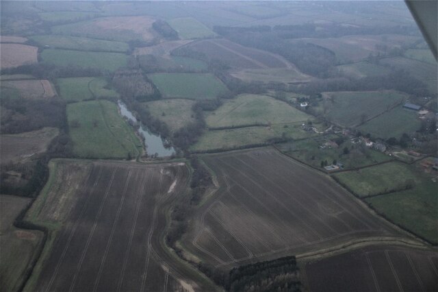
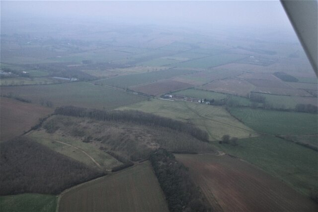
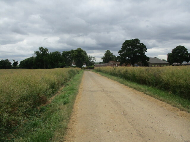
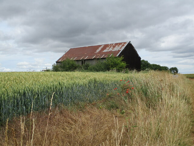
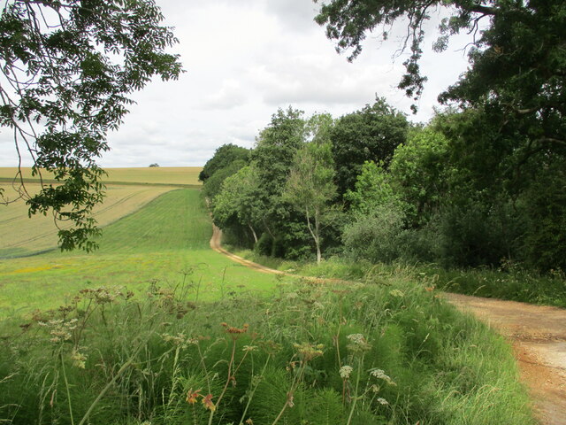
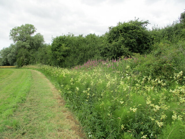
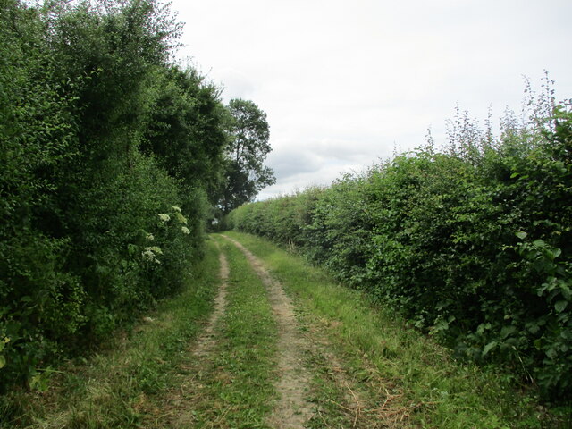
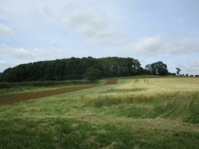
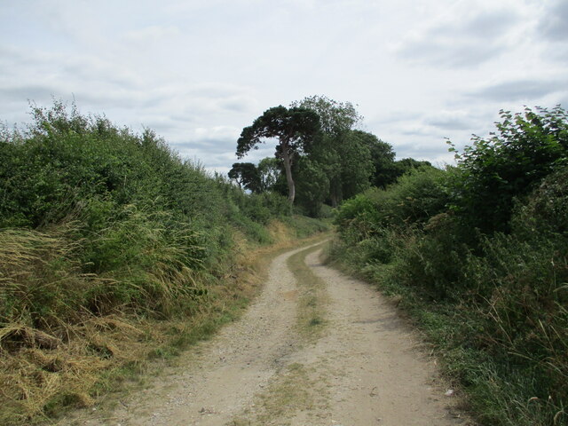
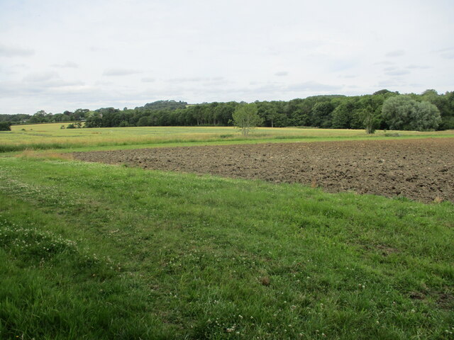
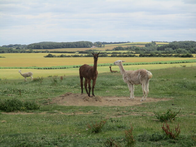
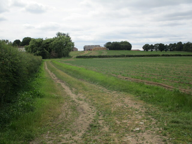
Somersby Images
Images are sourced within 2km of 53.233983/0.012178 or Grid Reference TF3472. Thanks to Geograph Open Source API. All images are credited.


Somersby is located at Grid Ref: TF3472 (Lat: 53.233983, Lng: 0.012178)
Division: Parts of Lindsey
Administrative County: Lincolnshire
District: East Lindsey
Police Authority: Lincolnshire
What 3 Words
///upward.imparting.staked. Near Burwell, Lincolnshire
Nearby Locations
Related Wikis

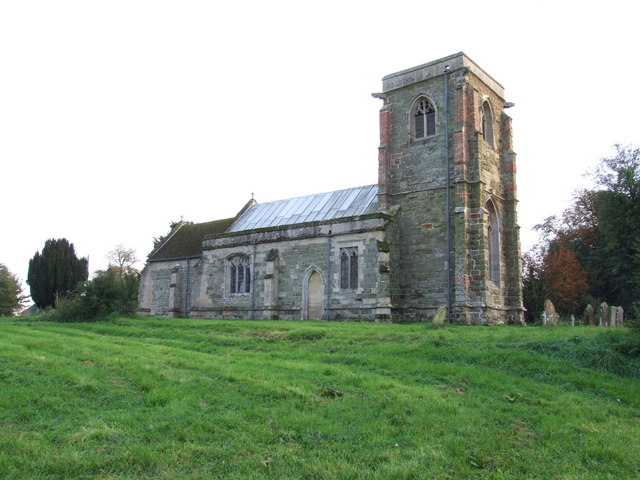
Somersby, Lincolnshire
Somersby is a village in the civil parish of Greetham with Somersby, in the East Lindsey district of Lincolnshire, England. It is situated 6 miles (9.7...
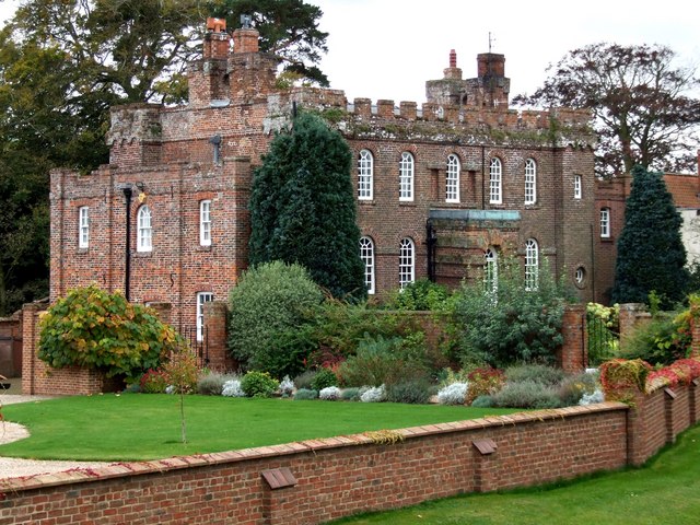
Somersby Grange
Somersby Grange is a Grade I listed Georgian country house in Somersby, Lincolnshire.The house was built in 1722 for Robert Burton, the local lord of the...
Bag Enderby
Bag Enderby is a village and former civil parish, now in the parish of Greetham with Somersby, in the East Lindsey district of Lincolnshire, England. It...

Salmonby
Salmonby is a village in the civil parish of Tetford, in the East Lindsey district of Lincolnshire, England. It is situated 5.5 miles (8.9 km) north-east...
Nearby Amenities
Located within 500m of 53.233983,0.012178Have you been to Somersby?
Leave your review of Somersby below (or comments, questions and feedback).