Bag Enderby
Settlement in Lincolnshire East Lindsey
England
Bag Enderby
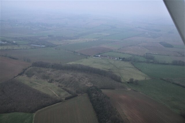
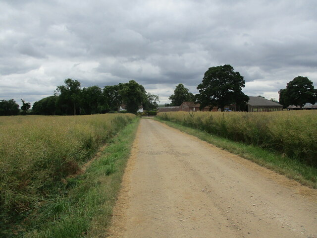
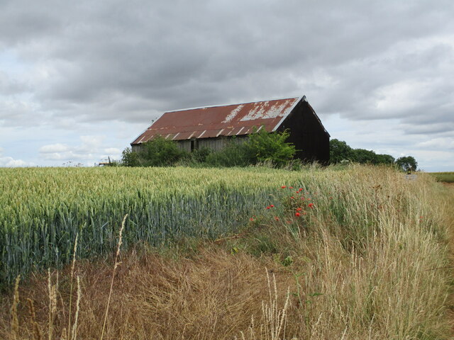
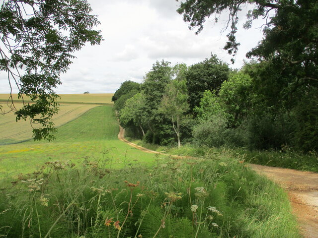
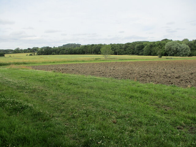
Bag Enderby is a small village located in the East Lindsey district of Lincolnshire, England. Situated in the heart of the Lincolnshire Wolds, it is surrounded by picturesque countryside and offers a tranquil and idyllic setting. Bag Enderby is situated approximately 5 miles northeast of the market town of Horncastle.
The village itself is characterized by its charming and traditional cottages, many of which date back to the 17th and 18th centuries. The local population is relatively small, with a tight-knit community that fosters a friendly and welcoming atmosphere. The village is predominantly residential, with no major commercial or industrial activities.
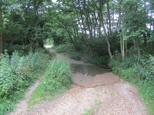
Nature enthusiasts are drawn to Bag Enderby due to its proximity to the Lincolnshire Wolds Area of Outstanding Natural Beauty. The rolling hills and scenic landscapes provide ample opportunities for outdoor activities such as hiking, cycling, and birdwatching. The nearby River Waring also offers fishing opportunities for angling enthusiasts.
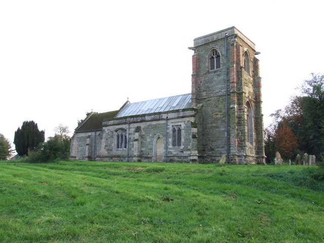
While Bag Enderby may be small, it has a rich history. The village is mentioned in the Domesday Book of 1086, highlighting its long-standing presence in the region. Visitors can explore the local church, St. Margaret's, which dates back to the 13th century, and admire its impressive architectural features.
Overall, Bag Enderby is a quintessential English village that offers a peaceful and picturesque retreat for those seeking a rural escape. With its historical charm and natural beauty, it is a hidden gem within the Lincolnshire countryside.
If you have any feedback on the listing, please let us know in the comments section below.
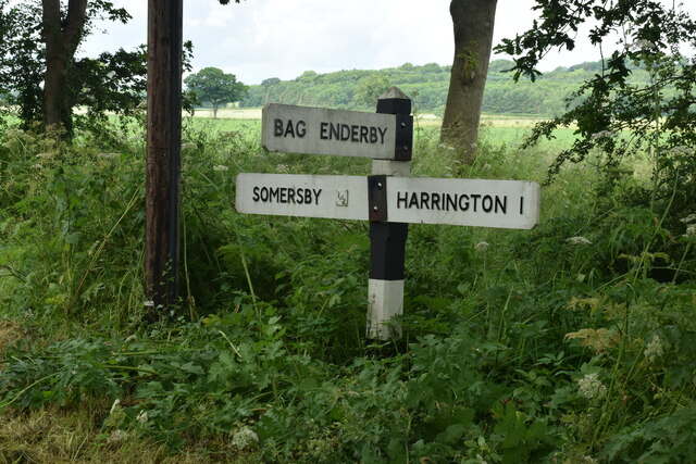
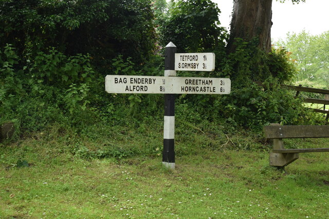
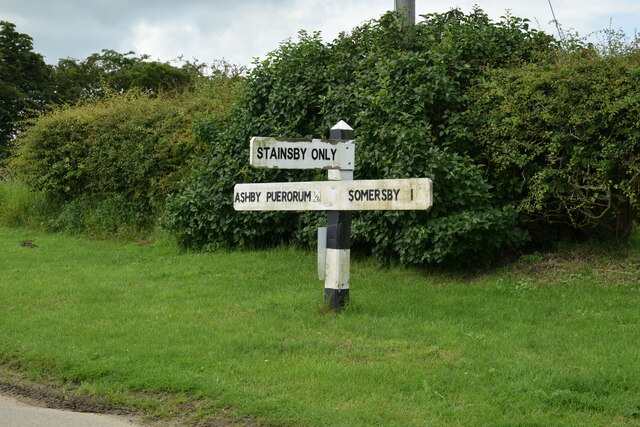
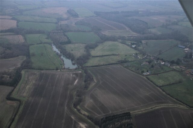
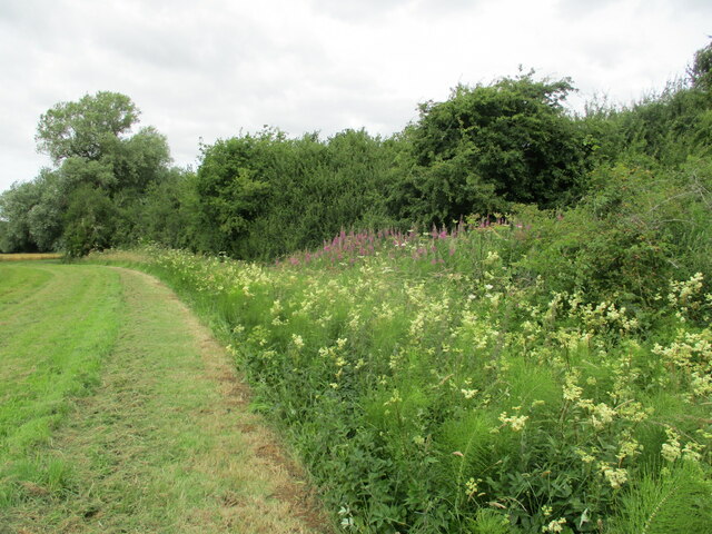
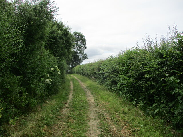
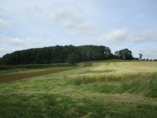
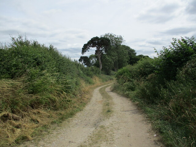
Bag Enderby Images
Images are sourced within 2km of 53.228972/0.019764 or Grid Reference TF3472. Thanks to Geograph Open Source API. All images are credited.


Bag Enderby is located at Grid Ref: TF3472 (Lat: 53.228972, Lng: 0.019764)
Division: Parts of Lindsey
Administrative County: Lincolnshire
District: East Lindsey
Police Authority: Lincolnshire
What 3 Words
///droplet.natively.scorching. Near Burwell, Lincolnshire
Nearby Locations
Related Wikis
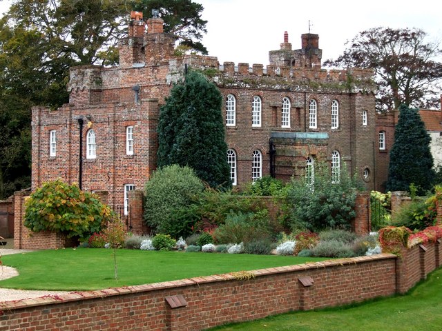
Somersby Grange
Somersby Grange is a Grade I listed Georgian country house in Somersby, Lincolnshire.The house was built in 1722 for Robert Burton, the local lord of the...

Somersby, Lincolnshire
Somersby is a village in the civil parish of Greetham with Somersby, in the East Lindsey district of Lincolnshire, England. It is situated 6 miles (9.7...
Bag Enderby
Bag Enderby is a village and former civil parish, now in the parish of Greetham with Somersby, in the East Lindsey district of Lincolnshire, England. It...

Harrington, Lincolnshire
Harrington is a hamlet and civil parish in the East Lindsey district of Lincolnshire, England. It is situated 6 miles (10 km) south-west from Alford, and...
Nearby Amenities
Located within 500m of 53.228972,0.019764Have you been to Bag Enderby?
Leave your review of Bag Enderby below (or comments, questions and feedback).