Snitterton

Settlement in Derbyshire Derbyshire Dales

England

Snitterton

The River Derwent at Matlock Bridge
The River Derwent at Matlock Bridge Credit: Graham Hogg

Snitterton is a small village located in the county of Derbyshire, England. Situated in the Peak District National Park, it is nestled on the eastern bank of the River Derwent, offering picturesque views of the surrounding countryside. The village is part of the local government district of Derbyshire Dales and falls within the civil parish of Darley Dale.

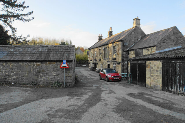
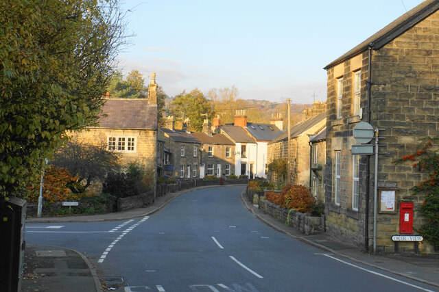
With a population of around 500 residents, Snitterton exudes a quaint charm and tranquility that attracts visitors seeking a peaceful retreat. The village is known for its traditional stone-built houses and cottages, which add to its idyllic atmosphere. The architecture reflects the area's rich history, with some buildings dating back to the 17th century.

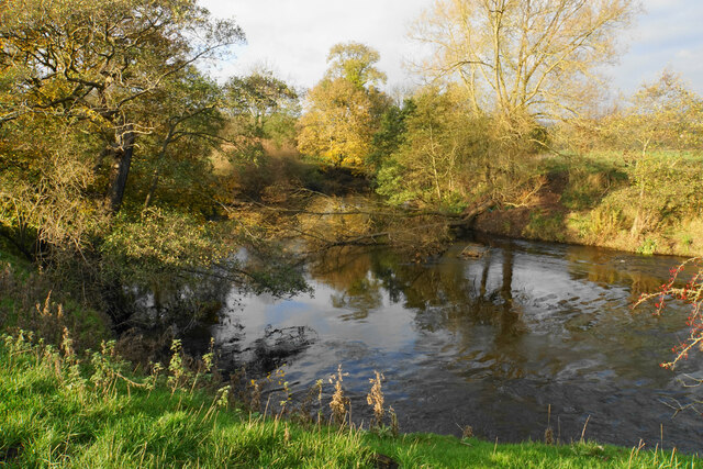
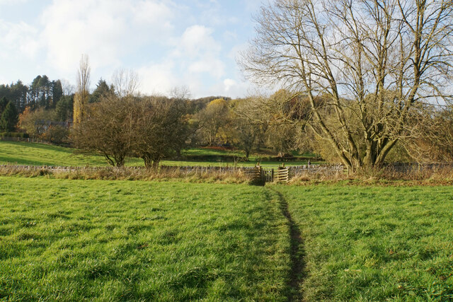
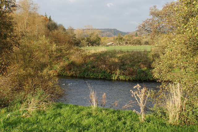
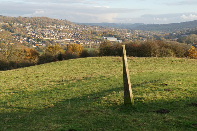
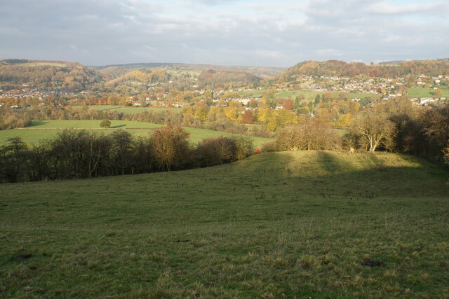
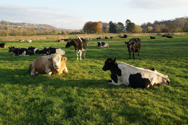
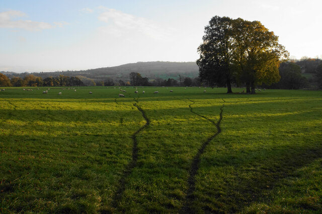
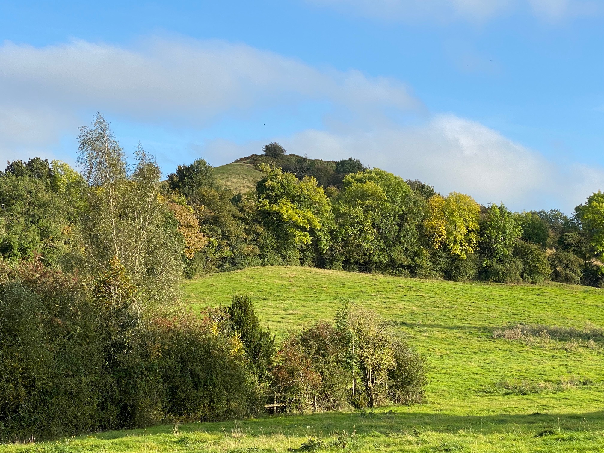
The nearby countryside provides ample opportunities for outdoor activities such as hiking, cycling, and fishing. Snitterton is also a popular destination for nature lovers, as it is surrounded by lush green meadows, rolling hills, and dense woodlands. The River Derwent offers a serene setting for leisurely walks along its banks.

Despite its small size, Snitterton has a strong sense of community. The village has a local pub, The Snitterton Arms, which serves as a gathering place for both residents and tourists. The village also hosts several events throughout the year, including a summer fete and a Christmas market, fostering a close-knit community spirit.

In summary, Snitterton is a charming village in Derbyshire, offering a peaceful and scenic retreat for visitors. Its rich history, picturesque surroundings, and strong community spirit make it an appealing destination for those seeking a quintessential English countryside experience.

If you have any feedback on the listing, please let us know in the comments section below.
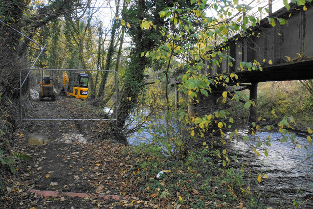
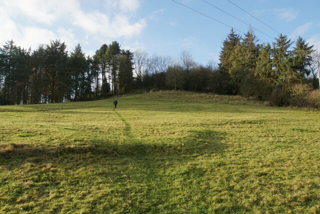
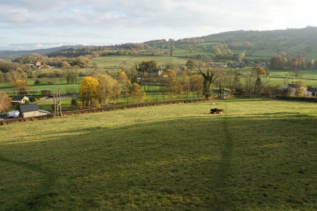
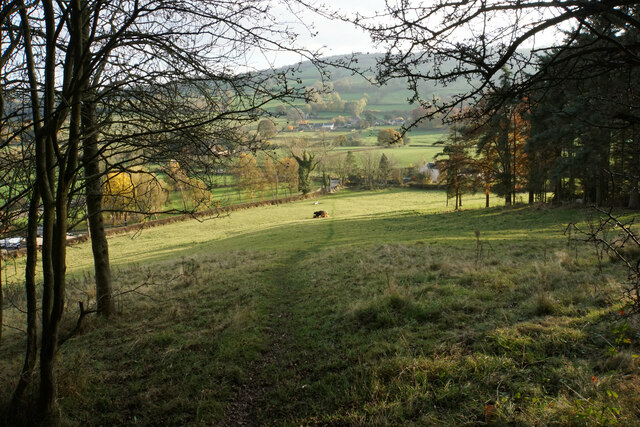
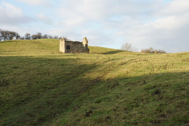
Snitterton Images

Images are sourced within 2km of 53.138217/-1.585893 or Grid Reference SK2760. Thanks to Geograph Open Source API. All images are credited.

The River Derwent at Matlock Bridge
Matlock Station - Platform 1
Temporary path closure Part of the Derwent Valley Heritage Way. The path is being strengthened but there is a way round via some steps to the left. The bridge on the right carries the railway between Matlock and Darley Dale.
Temporary path closure
Part of the Derwent Valley Heritage Way. The path is being strengthened but there is a way round via some steps to the left. The bridge on the right carries the railway between Matlock and Darley Dale.
River Derwent near Ashton Farm A bend in the river. A branch from the far bank has fallen across it.
River Derwent near Ashton Farm
A bend in the river. A branch from the far bank has fallen across it.
Footpath to Oker Part of the Derwent Valley Heritage Way, the path has followed the valley bottom of the Derwent.
Footpath to Oker
Part of the Derwent Valley Heritage Way, the path has followed the valley bottom of the Derwent.
River Derwent near Oker
Path up to Oaker A small hill but it is worth going up for the view.
Path up to Oaker
A small hill but it is worth going up for the view.
Grazing land on the south side of Oaker Looking down towards Snitterton.
Grazing land on the south side of Oaker
Looking down towards Snitterton.
Path off Oaker Descending the southern side.
Path off Oaker
Descending the southern side.
Ruined barn on Oaker The land is still used for grazing.
Ruined barn on Oaker
The land is still used for grazing.
Post on Oaker A wedge-shaped wooden post, which may mark the path across the top of this hill. Behind you can see the northern end of Matlock around Dimple.
Post on Oaker
A wedge-shaped wooden post, which may mark the path across the top of this hill. Behind you can see the northern end of Matlock around Dimple.
The eastern side of Oaker Looking down into the Derwent valley below Darley Dale. The hill is shading the foreground from the low November sun.
The eastern side of Oaker
Looking down into the Derwent valley below Darley Dale. The hill is shading the foreground from the low November sun.
Footpath arriving at Darley Bridge It comes out in a passage next to the Three Stags Heads pub.
Footpath arriving at Darley Bridge
It comes out in a passage next to the Three Stags Heads pub.
Eversleigh Rise The B5057 climbing out of Darley Bridge towards Wensley. It is a bit narrow but this is not the narrowest point in the village.
Eversleigh Rise
The B5057 climbing out of Darley Bridge towards Wensley. It is a bit narrow but this is not the narrowest point in the village.
Main Road. Darley Bridge The B5057 is just getting to the narrowest part through the village
Main Road. Darley Bridge
The B5057 is just getting to the narrowest part through the village
Cattle by Flatts Farm Grazing on the flood plain of the River Derwent.
Cattle by Flatts Farm
Grazing on the flood plain of the River Derwent.
Sheep tracks near Normanhurst Farm Sheep are grazing on the flood plain of the River Derwent. The sun is sinking behind the hills to the west.
Sheep tracks near Normanhurst Farm
Sheep are grazing on the flood plain of the River Derwent. The sun is sinking behind the hills to the west.
Wintery Laburnum Inn Welcome to Upper Hackney, Matlock. 

Early snow creates a magical view from the Hackney Lane, Farley Hill road junction
Wintery Laburnum Inn
Welcome to Upper Hackney, Matlock. Early snow creates a magical view from the Hackney Lane, Farley Hill road junction
Show me another place!

Snitterton is located at Grid Ref: SK2760 (Lat: 53.138217, Lng: -1.585893)

Administrative County: Derbyshire

District: Derbyshire Dales

Police Authority: Derbyshire

What 3 Words

///wobbling.solar.solves. Near Matlock, Derbyshire

Related Wikis

Snitterton

Snitterton is a hamlet in Derbyshire, England, in South Darley parish, of some fifteen properties including two working farms and Snitterton Hall, a late...

Snitterton Hall

Snitterton Hall is a late medieval manor house in Snitterton in South Darley parish, near Matlock, Derbyshire, England, and within the Peak District National...

Oker, Derbyshire

Oker is a hamlet in Derbyshire, located in South Darley parish, with groups of houses along two sides of Oker Hill. The houses are largely older limestone...

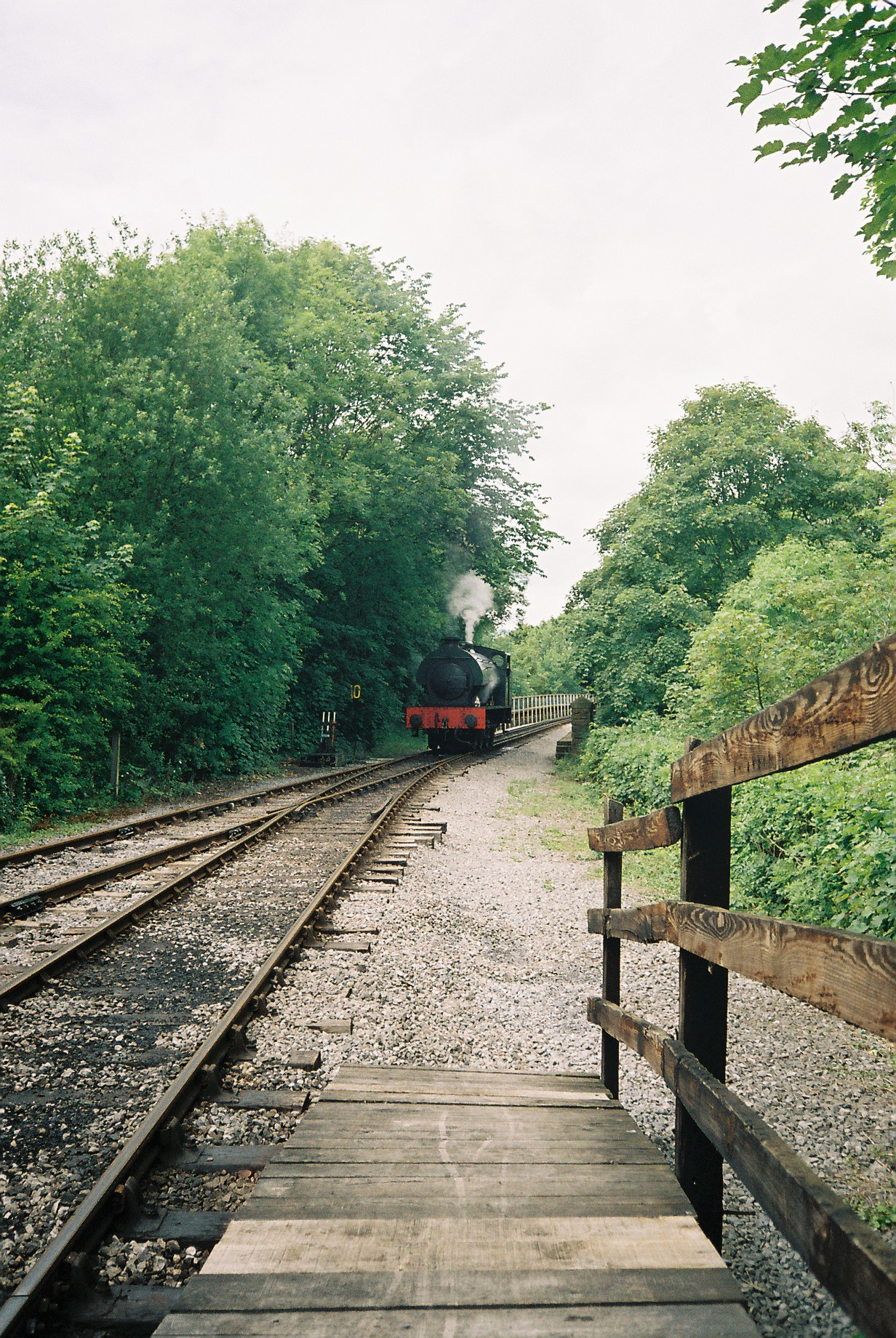
Matlock Riverside railway station

Matlock Riverside was the terminus of Peak Rail, a preserved steam railway of approximately 4 miles (6.5 km) in length. For many years Peak Rail had planned...

Nearby Amenities

Located within 500m of 53.138217,-1.585893
Snitterton
Place: hamlet
Wikidata: Q108846603
Wikipedia: en:Snitterton
Lat/Long: 53.1402107/-1.5826271
Post Box
Operator: Royal Mail
Post Box Type: wall
Ref: DE4 968
Source: drive-by survey
Lat/Long: 53.1400416/-1.5833214
Bench
Ele: 96.0000000
Lat/Long: 53.1400272/-1.5833027
Ele: 152.0000000
Lat/Long: 53.1365919/-1.5797001
Ele: 109.0000000
Lat/Long: 53.1394761/-1.5815512
Ele: 102.0000000
Lat/Long: 53.1412605/-1.5883625
Barrier: stile
Ele: 102.0000000
Material: wood
Source: survey;gps
Stile: squeezer
Lat/Long: 53.1412438/-1.588143
Ele: 100.0000000
Lat/Long: 53.1408112/-1.5837572
Ele: 115.0000000
Lat/Long: 53.1391353/-1.5855718
Ele: 120.0000000
Lat/Long: 53.1387822/-1.5864864
Barrier: stile
Ele: 124.0000000
Steps: 1
Stile: stepover
Lat/Long: 53.1386867/-1.5865101
Ele: 123.0000000
Lat/Long: 53.1386315/-1.5865214
Ele: 143.0000000
Lat/Long: 53.1375578/-1.5878511
Ele: 162.0000000
Lat/Long: 53.1373198/-1.5902245
Ele: 175.0000000
Lat/Long: 53.1372835/-1.5920908
Barrier: cattle_grid
Lat/Long: 53.1376018/-1.5836634
Barrier: stile
Steps: 2
Stile: stepover
Lat/Long: 53.1356556/-1.5832608
Barrier: stile
Ele: 91.0000000
Material: wood
Steps: 1
Stile: stepover
Lat/Long: 53.1421047/-1.5849716
Ele: 91.0000000
Lat/Long: 53.1418698/-1.5847357
Ele: 91.0000000
Lat/Long: 53.1418342/-1.5846994
Information: board
Tourism: information
Lat/Long: 53.1400654/-1.5833329
Ele: 152.0000000
Lat/Long: 53.1366432/-1.5850001
Ele: 197.0000000
Lat/Long: 53.1355826/-1.589052
Ele: 198.0000000
Lat/Long: 53.1355305/-1.5890286
Ele: 197.0000000
Lat/Long: 53.1355419/-1.5890271
Ele: 222
Lat/Long: 53.1343644/-1.5897163
Barrier: stile
Ele: 223.0000000
Steps: 2
Stile: stepover
Lat/Long: 53.134374/-1.5896829
Barrier: stile
Steps: 0
Stile: stepover
Lat/Long: 53.1342017/-1.583564
Barrier: cattle_grid
Ele: 151.0000000
Lat/Long: 53.1368128/-1.5847544
Barrier: cattle_grid
Lat/Long: 53.1366387/-1.5836433
Barrier: stile
Material: wood
Source: survey;gps
Stile: stepover
Lat/Long: 53.1368344/-1.5847641
Power: pole
Lat/Long: 53.136792/-1.5865186
Power: pole
Lat/Long: 53.1345666/-1.5898392
Power: pole
Lat/Long: 53.1352231/-1.5883532
Power: pole
Lat/Long: 53.1344958/-1.584684
Power: pole
Lat/Long: 53.1347227/-1.5861753
Power: pole
Lat/Long: 53.1349544/-1.5876451
Power: pole
Lat/Long: 53.1352183/-1.5890989
Power: pole
Lat/Long: 53.1342078/-1.5881842
Power: pole
Lat/Long: 53.1339551/-1.5850407
Power: pole
Lat/Long: 53.1383303/-1.5785712
Power: pole
Lat/Long: 53.1373681/-1.5789253
Power: pole
Lat/Long: 53.1366665/-1.5792149
Power: pole
Lat/Long: 53.1360518/-1.5794939
Generator Method: photovoltaic
Generator Output Electricity: yes
Generator Source: solar
Generator Type: solar_photovoltaic_panel
Location: roof
Power: generator
Lat/Long: 53.1402872/-1.5831828
Barrier: stile
Material: wood
Source: survey
Stile: stepover
Lat/Long: 53.1366386/-1.583622
The data included in this document is from www.openstreetmap.org. The data is made available under ODbL.

Have you been to Snitterton?

Leave your review of Snitterton below (or comments, questions and feedback).