Oaker

Settlement in Derbyshire Derbyshire Dales

England

Oaker

Road junction in Darley Dale The road left is Chesterfield Road which leaves the A6 here. The building opposite is a cafe. It was formerly a pharmacy but I am sure it was previously a retail bank.
Road junction in Darley Dale Credit: Bill Boaden

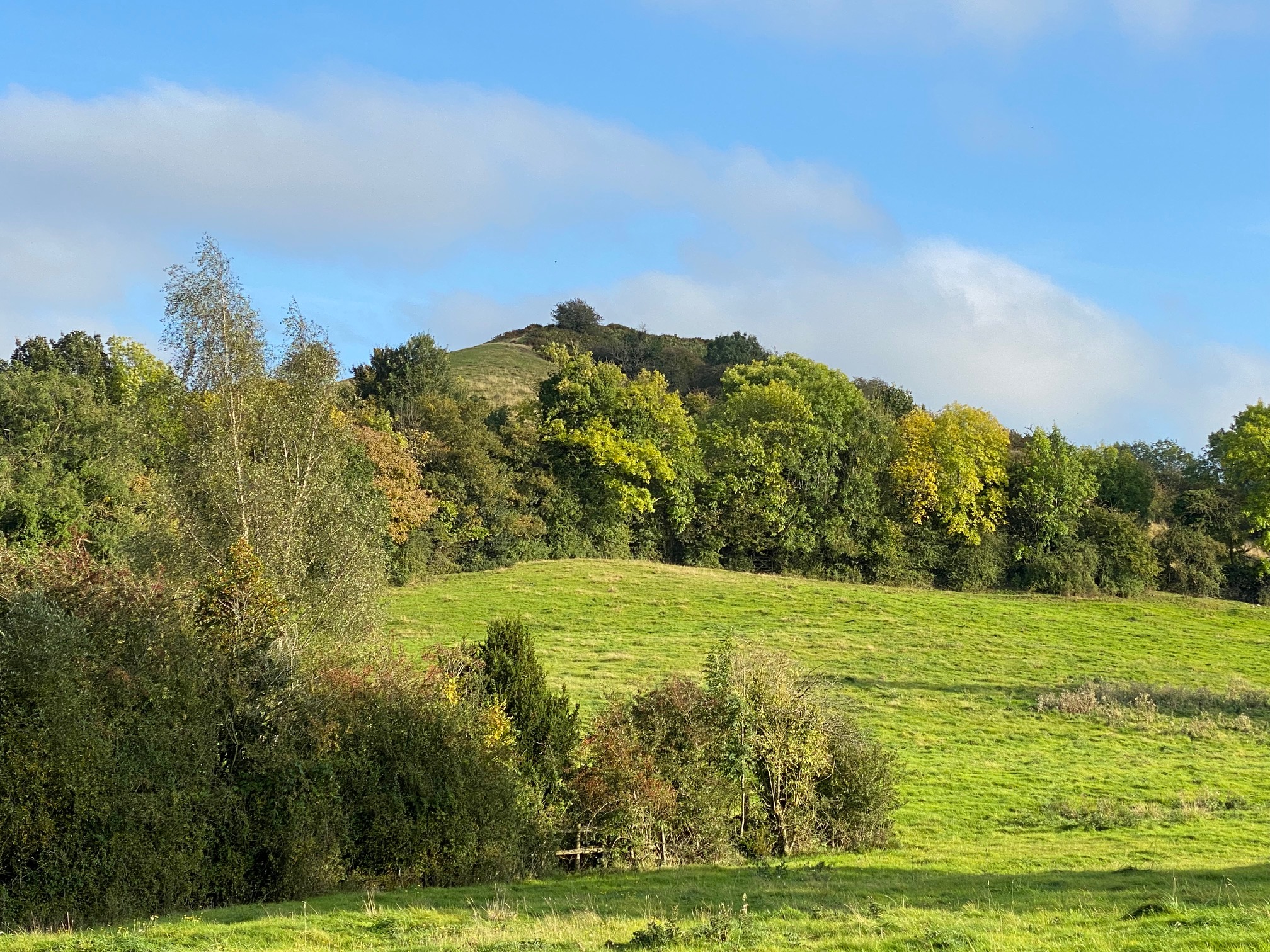
Oaker is a small village located in the county of Derbyshire, in the East Midlands region of England. It lies within the Derbyshire Dales district, approximately 5 miles north of the market town of Matlock. The village is nestled within the beautiful Peak District National Park, renowned for its stunning landscapes and outdoor recreational opportunities.

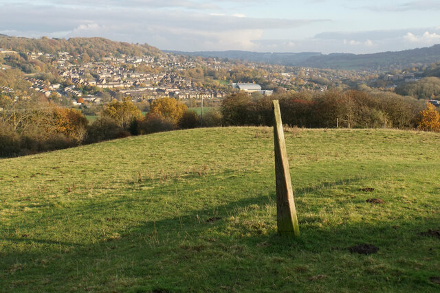
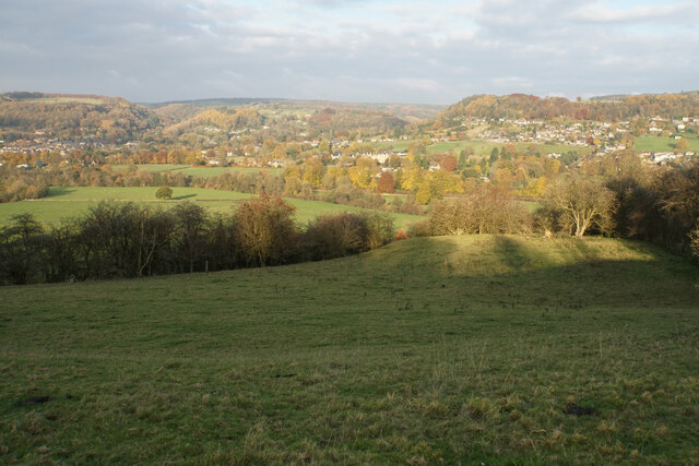
Oaker is a rural community with a population of around 300 residents. It is characterized by its picturesque surroundings, consisting of rolling hills, lush meadows, and dense woodland. The village is surrounded by several walking trails and footpaths, offering residents and visitors ample opportunities for hiking, cycling, and nature exploration.

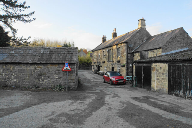
While Oaker is primarily a residential area, it does have a few amenities to cater to the local community. These include a village hall, which serves as a social and recreational hub, hosting various events and activities throughout the year. There is also a small primary school, providing education for the local children.

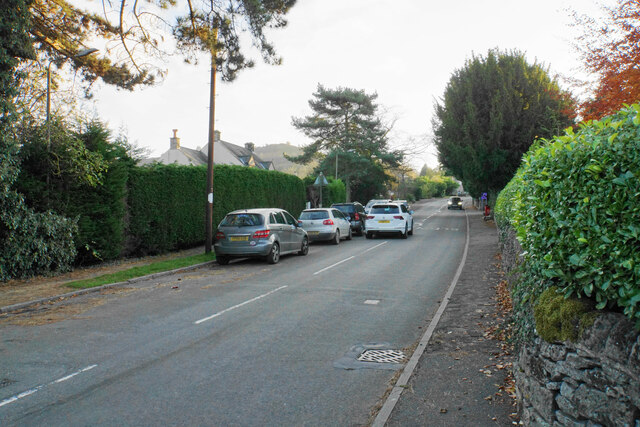
For more extensive amenities, residents can easily access nearby towns such as Matlock and Bakewell, which offer a range of shops, supermarkets, restaurants, and leisure facilities. Oaker's proximity to the Peak District also means that residents have easy access to popular attractions such as Chatsworth House, Haddon Hall, and the Heights of Abraham.

Overall, Oaker offers a tranquil and idyllic setting for those seeking a peaceful countryside lifestyle, with the added benefit of being situated within a designated national park.

If you have any feedback on the listing, please let us know in the comments section below.
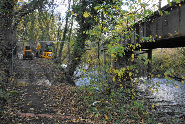
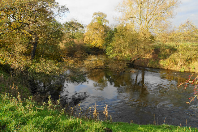
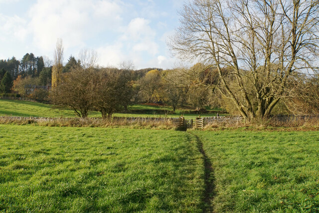
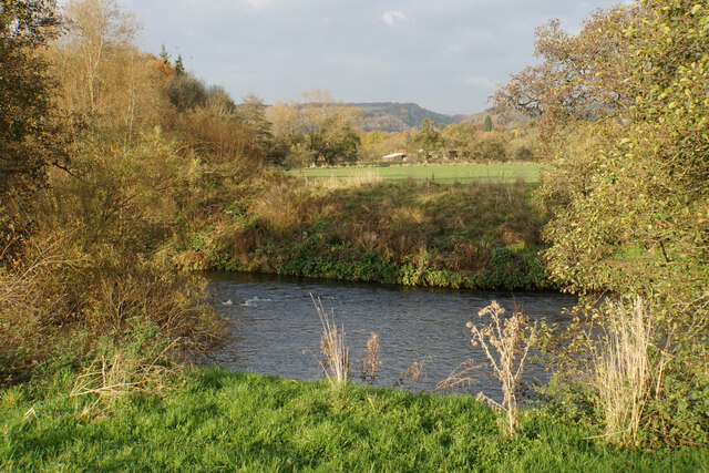
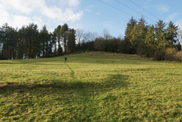
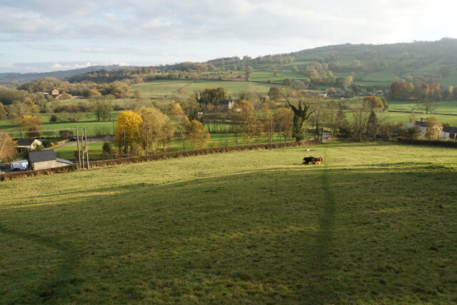
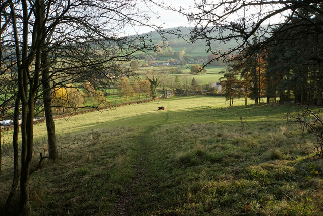
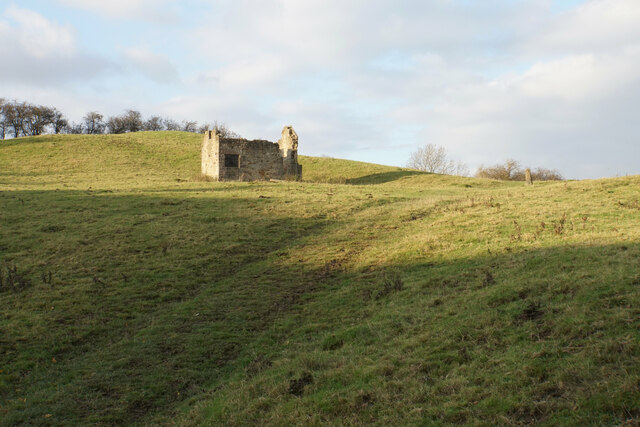
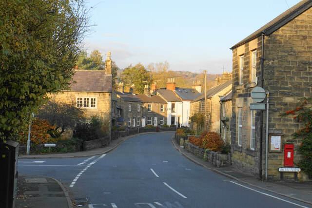
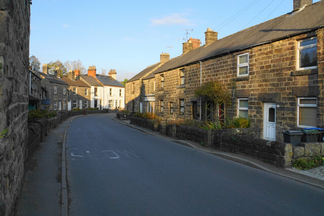
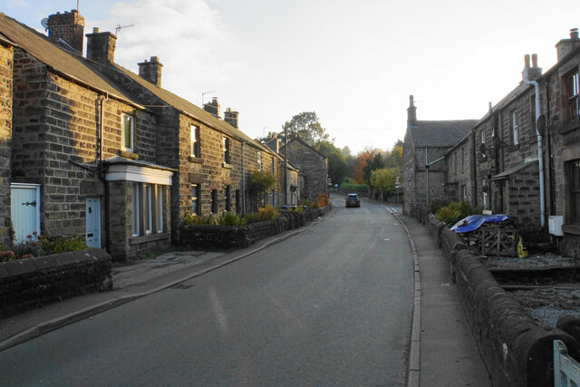
Oaker Images

Images are sourced within 2km of 53.144927/-1.5901506 or Grid Reference SK2760. Thanks to Geograph Open Source API. All images are credited.

Road junction in Darley Dale The road left is Chesterfield Road which leaves the A6 here. The building opposite is a cafe. It was formerly a pharmacy but I am sure it was previously a retail bank.
Road junction in Darley Dale
The road left is Chesterfield Road which leaves the A6 here. The building opposite is a cafe. It was formerly a pharmacy but I am sure it was previously a retail bank.
Co-op store in Darley Dale I think this building used to be the RBS bank, being the last retail bank to close in the town.
Co-op store in Darley Dale
I think this building used to be the RBS bank, being the last retail bank to close in the town.
Road junction in Darley Dale Station Road runs off left from the A6. This junction is possibly regarded as the centre of the town, with a millennium stone and the town council minutes.
Road junction in Darley Dale
Station Road runs off left from the A6. This junction is possibly regarded as the centre of the town, with a millennium stone and the town council minutes.
Temporary path closure Part of the Derwent Valley Heritage Way. The path is being strengthened but there is a way round via some steps to the left. The bridge on the right carries the railway between Matlock and Darley Dale.
Temporary path closure
Part of the Derwent Valley Heritage Way. The path is being strengthened but there is a way round via some steps to the left. The bridge on the right carries the railway between Matlock and Darley Dale.
River Derwent near Ashton Farm A bend in the river. A branch from the far bank has fallen across it.
River Derwent near Ashton Farm
A bend in the river. A branch from the far bank has fallen across it.
Footpath to Oker Part of the Derwent Valley Heritage Way, the path has followed the valley bottom of the Derwent.
Footpath to Oker
Part of the Derwent Valley Heritage Way, the path has followed the valley bottom of the Derwent.
River Derwent near Oker
Path up to Oaker A small hill but it is worth going up for the view.
Path up to Oaker
A small hill but it is worth going up for the view.
Grazing land on the south side of Oaker Looking down towards Snitterton.
Grazing land on the south side of Oaker
Looking down towards Snitterton.
Path off Oaker Descending the southern side.
Path off Oaker
Descending the southern side.
Ruined barn on Oaker The land is still used for grazing.
Ruined barn on Oaker
The land is still used for grazing.
Post on Oaker A wedge-shaped wooden post, which may mark the path across the top of this hill. Behind you can see the northern end of Matlock around Dimple.
Post on Oaker
A wedge-shaped wooden post, which may mark the path across the top of this hill. Behind you can see the northern end of Matlock around Dimple.
The eastern side of Oaker Looking down into the Derwent valley below Darley Dale. The hill is shading the foreground from the low November sun.
The eastern side of Oaker
Looking down into the Derwent valley below Darley Dale. The hill is shading the foreground from the low November sun.
Footpath arriving at Darley Bridge It comes out in a passage next to the Three Stags Heads pub.
Footpath arriving at Darley Bridge
It comes out in a passage next to the Three Stags Heads pub.
Eversleigh Rise The B5057 climbing out of Darley Bridge towards Wensley. It is a bit narrow but this is not the narrowest point in the village.
Eversleigh Rise
The B5057 climbing out of Darley Bridge towards Wensley. It is a bit narrow but this is not the narrowest point in the village.
Main Road. Darley Bridge The B5057 is just getting to the narrowest part through the village
Main Road. Darley Bridge
The B5057 is just getting to the narrowest part through the village
Main Road, Darley Bridge The narrowest part of the B5057 through the village.
Main Road, Darley Bridge
The narrowest part of the B5057 through the village.
Main Road, Darley Bridge The B5057 passing through the village in low afternoon sun.
Main Road, Darley Bridge
The B5057 passing through the village in low afternoon sun.
Show me another place!

Oaker is located at Grid Ref: SK2760 (Lat: 53.144927, Lng: -1.5901506)

Administrative County: Derbyshire

District: Derbyshire Dales

Police Authority: Derbyshire

What 3 Words

///beamed.peach.zaps. Near Matlock, Derbyshire

Related Wikis

Oker, Derbyshire

Oker is a hamlet in Derbyshire, located in South Darley parish, with groups of houses along two sides of Oker Hill. The houses are largely older limestone...

Snitterton

Snitterton is a hamlet in Derbyshire, England, in South Darley parish, of some fifteen properties including two working farms and Snitterton Hall, a late...

Snitterton Hall

Snitterton Hall is a late medieval manor house in Snitterton in South Darley parish, near Matlock, Derbyshire, England, and within the Peak District National...

South Darley

South Darley is a civil parish in the Derbyshire Dales. It is a largely rural parish and covers the villages of Darley Bridge, Wensley and the hamlets...

Nearby Amenities

Located within 500m of 53.144927,-1.5901506
Post Box
Brand: Royal Mail
Brand Wikidata: Q638098
Brand Wikipedia: en:Royal Mail
Operator: Royal Mail
Operator Wikidata: Q638098
Post Box Type: lamp
Ref: DE4 920
Source: drive-by survey
Lat/Long: 53.1441125/-1.5855651
Bench
Lat/Long: 53.1441028/-1.5856655
Bench
Ele: 91.2100830
Lat/Long: 53.144904/-1.5889698
Barrier: stile
Steps: 1
Stile: stepover
Lat/Long: 53.1461841/-1.5872385
Barrier: stile
Steps: 0
Stile: stepover
Lat/Long: 53.1457755/-1.5875084
Barrier: stile
Steps: 0
Stile: stepover
Lat/Long: 53.1488302/-1.5902827
Barrier: stile
Dog Gate: yes
Steps: 1
Stile: stepover
Lat/Long: 53.146868/-1.5871022
Bench
Ele: 106.5910645
Lat/Long: 53.1477804/-1.58522
Barrier: stile
Dog Gate: yes
Steps: 1
Stile: stepover
Lat/Long: 53.14793/-1.5852227
Barrier: stile
Ele: 97.0000000
Material: wood
Steps: 1
Stile: stepover
Lat/Long: 53.1436757/-1.5834556
Barrier: stile
Ele: 119.0000000
Material: stone
Source: survey;gps
Stile: squeezer
Lat/Long: 53.142433/-1.5949887
Barrier: stile
Ele: 118.0000000
Material: wood
Source: survey;gps
Steps: 1
Stile: stepover
Lat/Long: 53.1417895/-1.5934648
Ele: 102.0000000
Lat/Long: 53.1412605/-1.5883625
Barrier: stile
Ele: 102.0000000
Material: wood
Source: survey;gps
Stile: squeezer
Lat/Long: 53.1412438/-1.588143
Barrier: stile
Steps: 2
Stile: stepover
Lat/Long: 53.1453624/-1.5853873
Barrier: stile
Steps: 2
Stile: stepover
Lat/Long: 53.1453383/-1.5882024
Barrier: stile
Ele: 95.0000000
Material: wood
Steps: 2
Stile: stepover
Lat/Long: 53.1439355/-1.5850321
Barrier: stile
Ele: 91.0000000
Material: wood
Steps: 1
Stile: stepover
Lat/Long: 53.1421047/-1.5849716
Ele: 91.0000000
Lat/Long: 53.1418698/-1.5847357
Barrier: stile
Material: wood
Stile: squeezer
Lat/Long: 53.1465724/-1.5929144
Barrier: stile
Lat/Long: 53.1465543/-1.5911191
Barrier: stile
Stile: squeezer
Lat/Long: 53.1467425/-1.5841332
Barrier: stile
Stile: squeezer
Lat/Long: 53.1464031/-1.5835789
Barrier: stile
Stile: squeezer
Lat/Long: 53.1459037/-1.588954
Barrier: block
Note: Road closed to allow landslip repair. July 2023.
Lat/Long: 53.1464393/-1.595289
Barrier: stile
Stile: squeezer
Lat/Long: 53.146765/-1.5960907
Generator Method: photovoltaic
Generator Output Electricity: yes
Generator Source: solar
Generator Type: solar_photovoltaic_panel
Location: roof
Power: generator
Lat/Long: 53.1468949/-1.584304
Generator Method: photovoltaic
Generator Output Electricity: yes
Generator Source: solar
Generator Type: solar_photovoltaic_panel
Location: roof
Power: generator
Lat/Long: 53.1470912/-1.5840894
Generator Method: photovoltaic
Generator Output Electricity: yes
Generator Source: solar
Generator Type: solar_photovoltaic_panel
Location: roof
Power: generator
Lat/Long: 53.1470703/-1.5849075
Grace's Well
Drinking Water: no
Man Made: water_well
Lat/Long: 53.1462907/-1.5873385
The data included in this document is from www.openstreetmap.org. The data is made available under ODbL.

Have you been to Oaker?

Leave your review of Oaker below (or comments, questions and feedback).