Smith's Green

Settlement in Essex Uttlesford

England

Smith's Green

Derelict Building, South of Puttock's End The pole in the foreground, shows where a gas pipeline runs.
Derelict Building, South of Puttock's End Credit: Lorraine and Keith Bowdler

Smith's Green is a charming village located in the county of Essex, England. Situated in the Uttlesford district, it is nestled in the picturesque countryside, offering residents and visitors a peaceful and idyllic setting. The village is conveniently located just a short distance from the town of Bishop's Stortford and is easily accessible via major roads and public transportation.

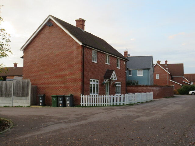
Smith's Green boasts a tight-knit community that takes pride in its close relationships and strong sense of community spirit. The village is home to a range of amenities and facilities, including a local primary school, a village hall, and a well-stocked convenience store. There are also several pubs and restaurants, where locals and visitors can enjoy a friendly atmosphere and traditional British cuisine.

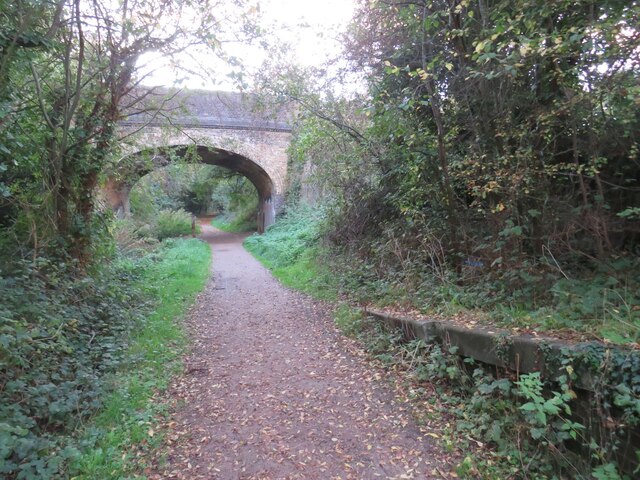
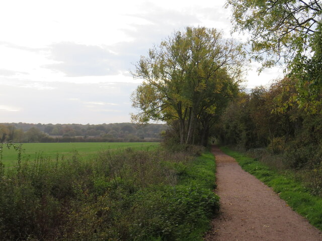
The surrounding countryside provides ample opportunities for outdoor activities and leisure pursuits. The village is surrounded by beautiful green spaces and scenic walking trails, perfect for those who enjoy exploring nature. Additionally, the nearby River Stort offers opportunities for boating and fishing, adding to the village's charm and appeal.

Smith's Green benefits from excellent transport links, with regular train services from Bishop's Stortford providing easy access to London and other major cities. The village is also within close proximity to Stansted Airport, making it an ideal location for frequent travelers.

Overall, Smith's Green is a delightful village that offers a peaceful and welcoming environment for residents and visitors alike. With its strong sense of community, beautiful countryside, and convenient location, it is a perfect place to call home or visit for a relaxing getaway.

If you have any feedback on the listing, please let us know in the comments section below.

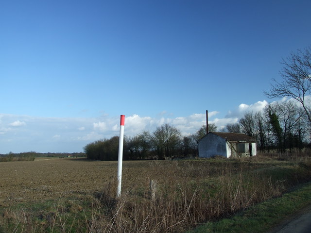
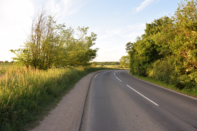
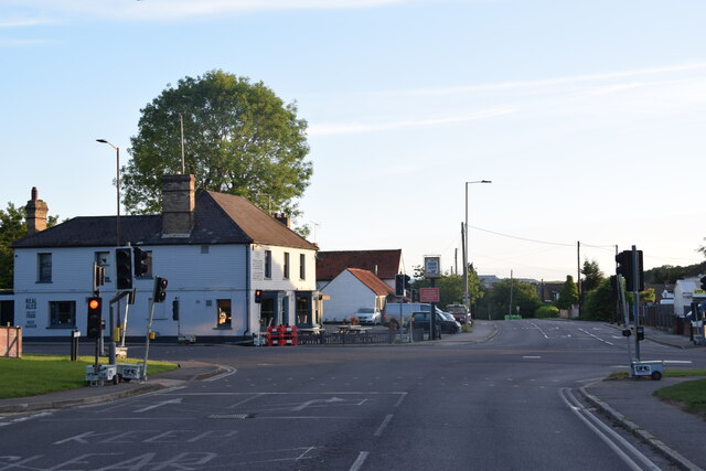
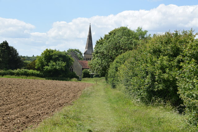
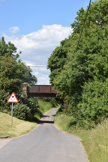
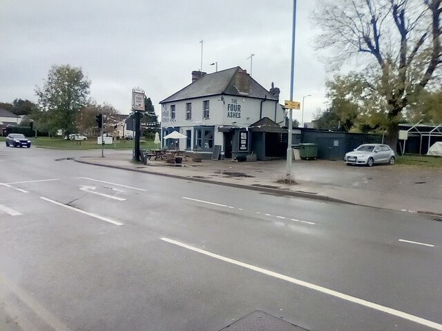
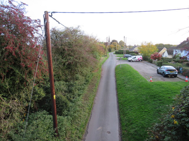
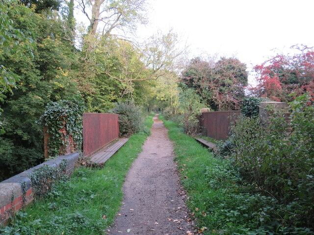
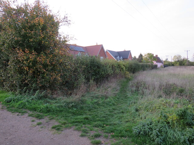
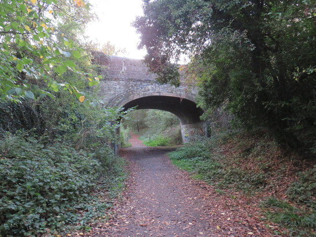
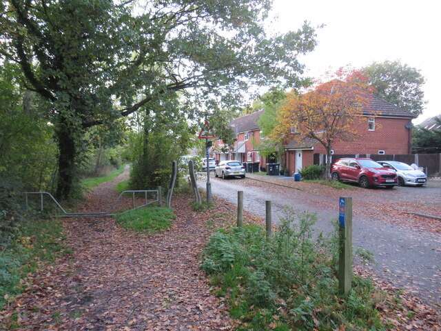
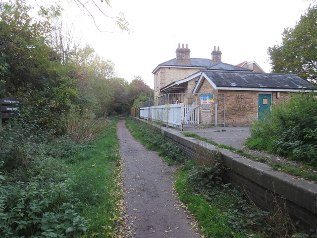
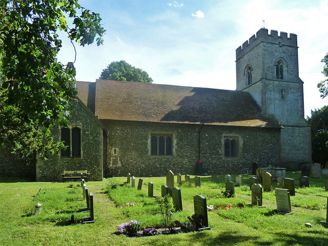
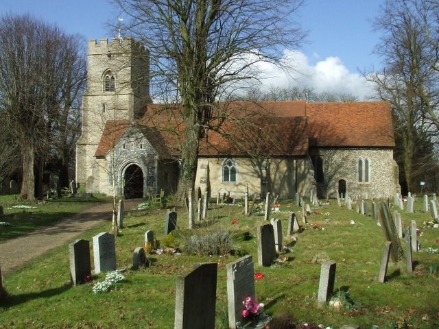
Smith's Green Images

Images are sourced within 2km of 51.868316/0.27826134 or Grid Reference TL5621. Thanks to Geograph Open Source API. All images are credited.

Derelict Building, South of Puttock's End The pole in the foreground, shows where a gas pipeline runs.
Derelict Building, South of Puttock's End
The pole in the foreground, shows where a gas pipeline runs.
Near Le Knell's Cottage On the lane between Stansted Airport and Takeley.
Near Le Knell's Cottage
On the lane between Stansted Airport and Takeley.
Crossroads in Takeley The public house on the corner is The Four Ashes.
Crossroads in Takeley
The public house on the corner is The Four Ashes.
Approaching Little Canfield Church On the path from High Cross Villas with All Saints Church ahead.
Approaching Little Canfield Church
On the path from High Cross Villas with All Saints Church ahead.
Railway bridge at Little Canfield The bridge over Church Lane once carried a railway which is now the route of the Flitch Way out of Great Dunmow.
Railway bridge at Little Canfield
The bridge over Church Lane once carried a railway which is now the route of the Flitch Way out of Great Dunmow.
The Four Ashes Public house in Takeley.
The Four Ashes
Public house in Takeley.
Church Lane, Little Canfield, near Great Dunmow Little Canfield is a small village in north Essex.

This view was taken from Flitch Way, which follows the route of a dismantled railway.  Here, the path uses a former railway bridge to pass over Church Lane.  The church spire is visible in the background.
Church Lane, Little Canfield, near Great Dunmow
Little Canfield is a small village in north Essex. This view was taken from Flitch Way, which follows the route of a dismantled railway. Here, the path uses a former railway bridge to pass over Church Lane. The church spire is visible in the background.
Flitch Way at Little Canfield, near Great Dunmow A view eastwards along Flitch Way at Little Canfield.  Here, a former railway bridge takes the path across a minor road.
Flitch Way at Little Canfield, near Great Dunmow
A view eastwards along Flitch Way at Little Canfield. Here, a former railway bridge takes the path across a minor road.
Public footpath, Takeley, near Bishop's Stortford A public footpath on the edge of the village of Takeley in north Essex.
Public footpath, Takeley, near Bishop's Stortford
A public footpath on the edge of the village of Takeley in north Essex.
Flitch Way, Takeley, near Bishop's Stortford Flitch Way passing through the village of Takeley in north Essex.  The bridge carrying a road over the path is a clear sign that the path is a former railway line.
Flitch Way, Takeley, near Bishop's Stortford
Flitch Way passing through the village of Takeley in north Essex. The bridge carrying a road over the path is a clear sign that the path is a former railway line.
Flitch Way, Takeley, near Bishop's Stortford Flitch Way entering the site of Takeley railway station.  A modern housing development occupies the site of the former railway goods yard.

This image was taken on a late October day.  Leaves were turning autumnal shades of golden yellow and falling from the trees as the winter months were approaching.
Flitch Way, Takeley, near Bishop's Stortford
Flitch Way entering the site of Takeley railway station. A modern housing development occupies the site of the former railway goods yard. This image was taken on a late October day. Leaves were turning autumnal shades of golden yellow and falling from the trees as the winter months were approaching.
Takeley railway station The former railway station at Takeley, in north Essex.  The station closed to passengers in 1952.  The building is currently disused.  The former railway line is now a walking and cycling path, Flitch Way.
Takeley railway station
The former railway station at Takeley, in north Essex. The station closed to passengers in 1952. The building is currently disused. The former railway line is now a walking and cycling path, Flitch Way.
Flitch Way, Takeley, near Bishop's Stortford This image of Flitch Way was taken from the site of Takeley railway station.  The end of the station platform is visible to the right of the image.  The bridge ahead carries a road across the former railway line.
Flitch Way, Takeley, near Bishop's Stortford
This image of Flitch Way was taken from the site of Takeley railway station. The end of the station platform is visible to the right of the image. The bridge ahead carries a road across the former railway line.
Russel Francis Way, Takeley, near Bishop's Stortford Russel Francis Way is a recent housing development in the village of Takeley in north Essex.
Russel Francis Way, Takeley, near Bishop's Stortford
Russel Francis Way is a recent housing development in the village of Takeley in north Essex.
Flitch Way, Takeley, near Bishop's Stortford Flitch Way heading out of the village of Takeley in north Essex.  This image was taken in the late afternoon on an October day, as the daylight was fading.  Dusk would soon fall.
Flitch Way, Takeley, near Bishop's Stortford
Flitch Way heading out of the village of Takeley in north Essex. This image was taken in the late afternoon on an October day, as the daylight was fading. Dusk would soon fall.
All Saints Church Canfield End
Takeley church - porch and tower Holy Trinity is a grade I listed building, oldest part 12th century. The tower and porch are 15th century.
Takeley church - porch and tower
Holy Trinity is a grade I listed building, oldest part 12th century. The tower and porch are 15th century.
Takeley church - north side Holy Trinity is a grade I listed building, oldest part, the nave, 12th century with later alterations.
Takeley church - north side
Holy Trinity is a grade I listed building, oldest part, the nave, 12th century with later alterations.
Show me another place!

Smith's Green is located at Grid Ref: TL5621 (Lat: 51.868316, Lng: 0.27826134)

Administrative County: Essex

District: Uttlesford

Police Authority: Essex

What 3 Words

///candles.gangs.regaining. Near Takeley, Essex

Related Wikis

Takeley F.C.

Takeley Football Club is an English football club based in Takeley, Essex. The club are currently members of the Essex Senior League and play at Station...

Takeley Priory

Takeley Priory, dedicated to Saint Valery, was a Benedictine monastery in Takeley, Essex, England, founded by William the Conqueror between 1066 and 1086...

Takeley railway station

Takeley railway station was a station serving the Hockerill area of Takeley in Bishop's Stortford, England. The station was 5 miles 11 chains (8.27 km...

Takeley

Takeley is a village and civil parish in the Uttlesford district of Essex, England. == History == A number of theories have arisen over the origin of the...

The Christian School, Takeley

The Christian School (Takeley) is an independent Christian school located in Takeley, Bishop's Stortford, Essex. The school caters for children of 7 through...

Bamber's Green

Bamber's Green is a hamlet in Essex, England. It is located near to Molehill Green and close to London Stansted Airport. The hamlet has approximately 20...

Stane Street Halt railway station

Stane Street Halt railway station was a station serving the community of Takeley Street to the west of the village of Takeley near Bishop's Stortford,...

Little Canfield

Little Canfield is a village and a civil parish in the Uttlesford district of Essex, England. The village is situated the B1256 road, near the A120 road...

Nearby Amenities

Located within 500m of 51.868316,0.27826134
Mini Roundabout
Direction: clockwise
Lat/Long: 51.8669274/0.2763504
Bus Stop
Canfield Road
Bus: yes
Naptan AtcoCode: 150009TAK14
Naptan Bearing: W
Naptan BusStopType: CUS
Naptan CommonName: Canfield Road
Naptan Crossing: Canfield Road
Naptan Indicator: Adj
Naptan Landmark: Canfield Road
Naptan NaptanCode: esxjgdgm
Naptan Street: Dunmow Road
Naptan Verified: no
Public Transport: platform
Source: naptan_import
Lat/Long: 51.8668852/0.2744877
Bus Stop
Canfield Road
Bus: yes
Naptan AtcoCode: 15002009TAK1
Naptan Bearing: E
Naptan BusStopType: CUS
Naptan CommonName: Canfield Road
Naptan Crossing: Canfield Road
Naptan Indicator: Opp
Naptan Landmark: Canfield Road
Naptan NaptanCode: esxjgdgp
Naptan Street: Dunmow Road
Naptan Verified: no
Public Transport: platform
Source: naptan_import
Lat/Long: 51.8669262/0.2770173
Bus Stop
Dunmow Road
Bus: yes
Naptan AtcoCode: 1500PRIORS01
Naptan Bearing: NE
Naptan BusStopType: CUS
Naptan CommonName: Dunmow Road
Naptan Crossing: Dunmow Road
Naptan Indicator: From
Naptan Landmark: Dunmow Road
Naptan NaptanCode: esxjdtmt
Naptan Street: Roding Drive
Naptan Verified: no
Public Transport: platform
Source: naptan_import
Lat/Long: 51.8674683/0.2764201
Bus Stop
Dunmow Road
Bus: yes
Naptan AtcoCode: 1500PRIORS02
Naptan Bearing: NE
Naptan BusStopType: CUS
Naptan CommonName: Dunmow Road
Naptan Crossing: Dunmow Road
Naptan Indicator: Towards
Naptan Landmark: Dunmow Road
Naptan NaptanCode: esxjdtmw
Naptan Street: Roding Drive
Naptan Verified: no
Public Transport: platform
Source: naptan_import
Lat/Long: 51.8672627/0.2763472
Hubberd Road
Naptan AtcoCode: 1500PRIORS03
Naptan Bearing: NE
Naptan BusStopType: CUS
Naptan CommonName: Roding Drive
Naptan Crossing: Roding Drive
Naptan Indicator: Opp
Naptan Landmark: Roding Drive
Naptan NaptanCode: esxjdtpa
Naptan Street: Flemming Road
Naptan Verified: no
Public Transport: platform
Source: naptan_import
Lat/Long: 51.8683474/0.2781229
Hubberd Road
Naptan AtcoCode: 1500PRIORS04
Naptan Bearing: NE
Naptan BusStopType: CUS
Naptan CommonName: Roding Drive
Naptan Crossing: Roding Drive
Naptan Indicator: Adj
Naptan Landmark: Roding Drive
Naptan NaptanCode: esxjdtpd
Naptan Street: Flemming Road
Naptan Verified: no
Public Transport: platform
Source: naptan_import
Lat/Long: 51.868265/0.2776572
Priors Green School
Naptan AtcoCode: 1500PRIORS05
Naptan Bearing: NE
Naptan BusStopType: CUS
Naptan CommonName: Priors Green School
Naptan Indicator: o/s
Naptan Landmark: Priors Green School
Naptan NaptanCode: esxjdtpg
Naptan Street: Bennet Canfield
Naptan Verified: no
Public Transport: platform
Source: naptan_import
Lat/Long: 51.8691299/0.281632
Broadfield Road
Naptan AtcoCode: 1500PRIORS06
Naptan Bearing: NE
Naptan BusStopType: CUS
Naptan CommonName: Priors Green School
Naptan Indicator: Opp
Naptan Landmark: Priors Green School
Naptan NaptanCode: esxjdtpj
Naptan Street: Bennet Canfield
Naptan Verified: no
Public Transport: platform
Source: naptan_import
Lat/Long: 51.8688382/0.2818352
Bennet Canfield
Naptan AtcoCode: 1500PRIORS07
Naptan Bearing: NE
Naptan BusStopType: CUS
Naptan CommonName: Bennet Canfield
Naptan Crossing: Bennet Canfield
Naptan Indicator: From
Naptan Landmark: Bennet Canfield
Naptan NaptanCode: esxjdtpm
Naptan Street: Honey Road
Naptan Verified: no
Public Transport: platform
Source: naptan_import
Lat/Long: 51.869626/0.2838509
Bennet Canfield
Naptan AtcoCode: 1500PRIORS08
Naptan Bearing: NE
Naptan BusStopType: CUS
Naptan CommonName: Bennet Canfield
Naptan Crossing: Bennet Canfield
Naptan Indicator: Towards
Naptan Landmark: Bennet Canfield
Naptan NaptanCode: esxjdtpt
Naptan Street: Honey Road
Naptan Verified: no
Public Transport: platform
Source: naptan_import
Lat/Long: 51.8697309/0.2833992
Warwick Road
Naptan AtcoCode: 1500PRIORS12
Naptan Bearing: NE
Naptan BusStopType: CUS
Naptan CommonName: Warwick Road
Naptan Crossing: Warwick Road
Naptan Indicator: Opp
Naptan Landmark: Warwick Road
Naptan NaptanCode: esxjdtwd
Naptan Street: Dunmow Road
Naptan Verified: no
Public Transport: platform
Source: naptan_import
Lat/Long: 51.8672902/0.2846766
Direction: both
Traffic Calming: table
Lat/Long: 51.8681895/0.2818957
Addr City: Takeley
Addr Housenumber: The Laurels
Addr Street: Dunmow Road
Lat/Long: 51.8672333/0.2769362
Addr City: Takeley
Addr Housenumber: Chadhurst
Addr Street: Dunmow Road
Lat/Long: 51.8671538/0.2746939
Addr City: Takeley
Addr Housenumber: The Bungalow
Addr Street: Dunmow Road
Lat/Long: 51.8666768/0.2761208
Addr City: Takeley
Addr Housenumber: Maryfield
Addr Street: Dunmow Road
Lat/Long: 51.8666437/0.276904
Addr City: Takeley
Addr Housenumber: Wayside Cottage
Addr Street: Dunmow Road
Lat/Long: 51.867028/0.277537
Addr City: Takeley
Addr Housenumber: South View
Addr Street: Warren Close
Lat/Long: 51.8690154/0.2763461
Addr City: Takeley
Addr Housenumber: The Laurels
Addr Street: Warren Close
Lat/Long: 51.8689823/0.2760242
Addr City: Takeley
Addr Housenumber: Plason
Addr Street: Warren Close
Lat/Long: 51.8690618/0.2766036
Addr City: Takeley
Addr Housenumber: Kerria
Addr Street: Warren Close
Lat/Long: 51.8691148/0.2768611
Addr City: Takeley
Addr Housenumber: Martelle
Addr Street: Warren Close
Lat/Long: 51.8691545/0.2772366
Addr City: Takeley
Addr Housenumber: Westcotts
Addr Street: Smith's Green
Lat/Long: 51.8687173/0.2733099
Addr City: Takeley
Addr Housenumber: Goar Lodge
Addr Street: Smith's Green
Lat/Long: 51.8691744/0.2734064
Addr City: Takeley
Addr Housenumber: Smith's Cottage
Addr Street: Smith's Green
Lat/Long: 51.8689823/0.2738141
Addr City: Takeley
Addr Housenumber: South Cottage
Addr Street: Smith's Green
Lat/Long: 51.8689094/0.2737712
Addr City: Takeley
Addr Housenumber: Wood View
Addr Street: Warren Close
Lat/Long: 51.8690021/0.2757453
Addr City: Takeley
Addr Housenumber: Gages
Addr Street: Smith's Green
Lat/Long: 51.8683132/0.2743184
Addr City: Takeley
Addr Housenumber: Pippins
Addr Street: Smith's Green
Lat/Long: 51.8687703/0.274651
Addr City: Takeley
Addr Housenumber: Homelands
Addr Street: Smith's Green
Lat/Long: 51.8689425/0.2752303
Addr City: Takeley
Addr Housenumber: Crown Cottage
Addr Street: Smith's Green
Lat/Long: 51.8691611/0.2738999
Addr City: Takeley
Addr Housenumber: Beech Cottage
Addr Street: Smith's Green
Lat/Long: 51.8689359/0.2732991
Addr City: Takeley
Addr Housenumber: The Foxes
Addr Street: Smith's Green
Lat/Long: 51.8672797/0.2741145
Addr City: Takeley
Addr Housenumber: The White House
Addr Street: Smith's Green
Lat/Long: 51.8673327/0.2723228
Addr City: Takeley
Addr Housenumber: The Croft
Addr Street: Smith's Green
Lat/Long: 51.8678494/0.2726125
Addr City: Takeley
Addr Housenumber: Moat Cottage
Addr Street: Smith's Green
Lat/Long: 51.8683529/0.27287
Addr City: Takeley
Addr Housenumber: Old Orchard
Addr Street: Smith's Green
Lat/Long: 51.8680879/0.2742003
Addr City: Takeley
Addr Housenumber: The Copse
Addr Street: Smith's Green
Lat/Long: 51.8677103/0.2742325
Townhall
Priors Green Community Centre
Lat/Long: 51.8700451/0.2824531
Priors Green Supermarket (Tesco Express)
Brand: Tesco Express
Brand Wikidata: Q98456772
Contact Website: https://www.tesco.com/store-locator/dunmow/1-priors-green-local-centre
Opening Hours: 07:00-23:00
Operator: Tesco
Shop: supermarket
Lat/Long: 51.8701024/0.281741
Salon 7
Addr City: Little Canfield
Addr Housenumber: Unit 7
Addr Postcode: CM6 1YE
Addr Street: Priors Green Local Centre
Shop: hairdresser
Lat/Long: 51.870174/0.2823317
Barnardos
Addr City: Little Canfield
Addr Housenumber: Unit 4
Addr Postcode: CM6 1YE
Addr Street: Priors Green Local Centre
Shop: gift
Lat/Long: 51.8701342/0.281983
Taylor Milburn
Addr City: Little Canfield
Addr Housenumber: Unit 5
Addr Postcode: CM6 1YE
Addr Street: Priors Green Local Centre, Bennet Canfield
Office: estate_agent
Website: https://www.taylormilburn.co.uk/
Lat/Long: 51.8701491/0.282093
Restaurant
La Bontá
Addr City: Little Canfield
Addr Housenumber: Unit 6
Addr Postcode: CM6 1YE
Addr Street: Priors Green Local Centre
Cuisine: italian
Website: https://www.facebook.com/labontarestaurant2020
Lat/Long: 51.8701607/0.282211
Priors Green Beauty and Holistic Centre
Addr City: Little Canfield
Addr Housenumber: Unit 3
Addr Postcode: CM6 1YE
Addr Street: Priors Green Local Centre
Shop: yes
Lat/Long: 51.8701193/0.2818596
Crossing
Bicycle: designated
Crossing: traffic_signals
Crossing Island: no
Crossing Markings: dots
Tactile Paving: yes
Lat/Long: 51.8669181/0.2749329
Crossing
Lat/Long: 51.8701503/0.2845571
Crossing
Crossing: unmarked
Crossing Island: yes
Crossing Markings: no
Lat/Long: 51.8670229/0.2763506
Direction: both
Traffic Calming: table
Lat/Long: 51.8685819/0.2845226
Crossing
Crossing: unmarked
Crossing Island: no
Tactile Paving: yes
Lat/Long: 51.8683484/0.2765972
Crossing
Crossing: unmarked
Crossing Island: no
Tactile Paving: yes
Lat/Long: 51.8682657/0.2763949
Crossing
Lat/Long: 51.868294/0.2779304
Crossing
Lat/Long: 51.8683215/0.2816098
Crossing
Lat/Long: 51.8694413/0.2844047
Bicycle Parking
Lat/Long: 51.869898/0.2824143
Barrier: cycle_barrier
Lat/Long: 51.8671798/0.2816827
Crossing
Crossing: unmarked
Crossing Island: yes
Crossing Markings: no
Lat/Long: 51.8669132/0.2761088
Bench
Lat/Long: 51.8670964/0.2733949
Waste Basket
Lat/Long: 51.8670914/0.2734512
Crossing
Lat/Long: 51.8670744/0.2804328
Barrier: cycle_barrier
Lat/Long: 51.866994/0.2781089
Barrier: bollard
Lat/Long: 51.8691977/0.2849751
Direction: both
Traffic Calming: table
Lat/Long: 51.8686524/0.285338
Crossing
Lat/Long: 51.8678624/0.276435
Crossing
Crossing: marked
Crossing Markings: yes
Lat/Long: 51.8690195/0.2817437
Crossing
Lat/Long: 51.8698528/0.2822419
Crossing
Lat/Long: 51.8700072/0.2821955
Direction: both
Traffic Calming: table
Lat/Long: 51.8676608/0.2760725
Crossing
Crossing: unmarked
Crossing Island: no
Tactile Paving: yes
Lat/Long: 51.8683272/0.2777898
Crossing
Crossing: unmarked
Crossing Island: no
Tactile Paving: yes
Lat/Long: 51.8683197/0.2780557
Crossing
Crossing: unmarked
Crossing Island: no
Tactile Paving: yes
Lat/Long: 51.8683769/0.2762194
Crossing
Lat/Long: 51.8671641/0.2762195
Crossing
Lat/Long: 51.8676632/0.2762146
Smith's Green
Place: locality
Lat/Long: 51.8683943/0.2737028
Barrier: bollard
Lat/Long: 51.8692977/0.2849402
Ford: yes
Lat/Long: 51.8670848/0.2736579
Ford: yes
Lat/Long: 51.8678097/0.2736684
Ford: yes
Lat/Long: 51.8679908/0.273671
Barrier: swing_gate
Lat/Long: 51.8647375/0.2775271
The data included in this document is from www.openstreetmap.org. The data is made available under ODbL.

Have you been to Smith's Green?

Leave your review of Smith's Green below (or comments, questions and feedback).