Bleachgreen
Settlement in Cumberland Copeland
England
Bleachgreen
Bleachgreen is a small village located in the district of Cumberland, England. Situated in the picturesque countryside, this charming settlement is known for its tranquil atmosphere and idyllic surroundings. It is part of the larger civil parish of Crosby-on-Eden, which encompasses several other smaller villages and hamlets.
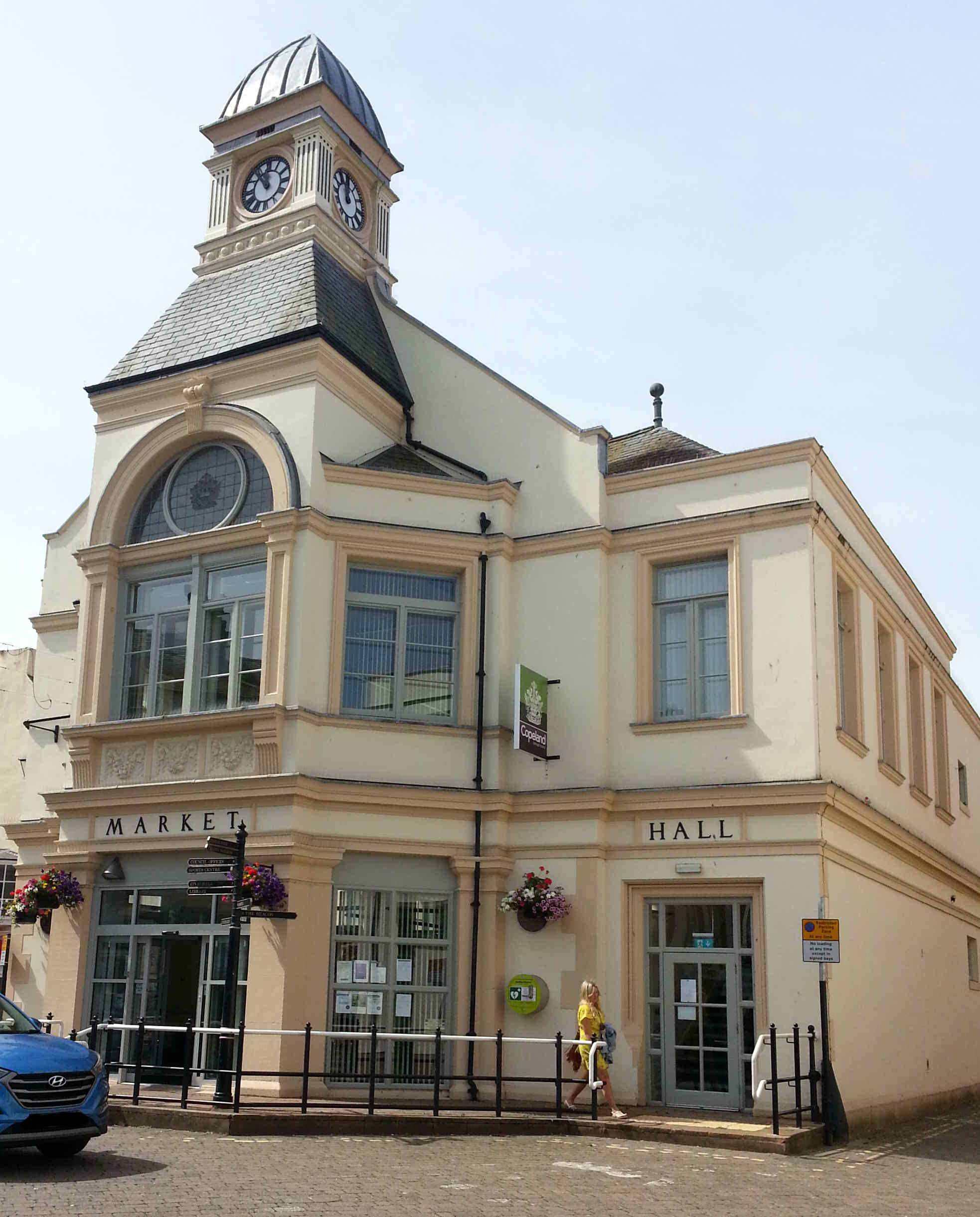
The village of Bleachgreen is characterized by its quaint, traditional English architecture, with many buildings dating back several centuries. The local community takes great pride in preserving the village's historical charm, and the well-maintained cottages and houses contribute to its appeal.
Despite its small size, Bleachgreen offers a range of amenities and services to its residents. The village is home to a local pub, providing a gathering place for locals and visitors alike. There are also a few small shops catering to daily needs, ensuring that residents have easy access to essential goods.
Surrounded by lush green fields and rolling hills, Bleachgreen is an ideal location for nature enthusiasts and those seeking a peaceful retreat. The village offers numerous outdoor activities, including hiking, cycling, and horseback riding. The nearby countryside provides ample opportunities for exploring the beautiful landscapes and enjoying the fresh air.
Bleachgreen is also conveniently located near several larger towns and cities, with Carlisle being the closest major urban center. This proximity allows residents to access a wider range of amenities, including shopping centers, healthcare facilities, and educational institutions.
In summary, Bleachgreen is a charming village in Cumberland, offering a tranquil environment, historical architecture, and easy access to both natural beauty and urban conveniences.
If you have any feedback on the listing, please let us know in the comments section below.
Bleachgreen Images
Images are sourced within 2km of 54.559138/-3.574134 or Grid Reference NX9819. Thanks to Geograph Open Source API. All images are credited.


Bleachgreen is located at Grid Ref: NX9819 (Lat: 54.559138, Lng: -3.574134)
Administrative County: Cumbria
District: Copeland
Police Authority: Cumbria
What 3 Words
///comfort.chose.flashback. Near Whitehaven, Cumbria
Nearby Locations
Related Wikis

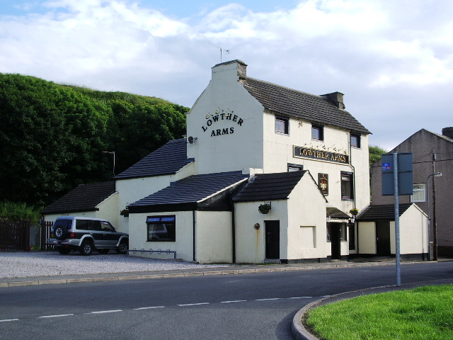
Quality Corner
Quality Corner is a hamlet in the English county of Cumbria. Quality Corner is located about one mile east of the port of Whitehaven; its postal address...
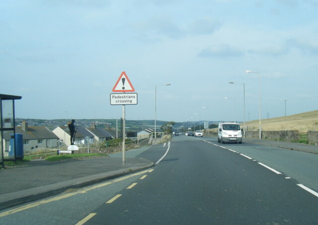
Parton, Cumbria
Parton is a village and civil parish on the Cumbrian coast, overlooking the Solway Firth, 1¼ miles (2 km) from Whitehaven in England. The parish had a...

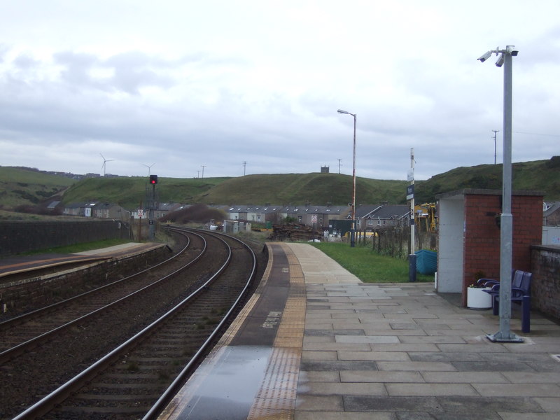
Whitehaven railway station
Whitehaven railway station is a railway station serving the coastal town of Whitehaven in Cumbria, England. It is on the Cumbrian Coast Line, which runs...
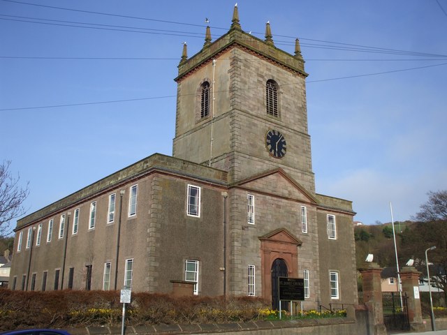
St James' Church, Whitehaven
St James' Church is in High Street, Whitehaven, Cumbria, England, at the crossing with the top of Queen Street. It stands in an elevated position overlooking...
Parton railway station
Parton railway station is a railway station serving the village of Parton in Cumbria, England. It is on the Cumbrian Coast Line, which runs between Carlisle...

Moresby Parks railway station
Moresby Parks railway station was opened by the Cleator and Workington Junction Railway (C&WJR) in 1879. It was situated just north of the summit of the...

Whitehaven Town Hall
Whitehaven Town Hall is a municipal building in Duke Street in Whitehaven, Cumbria, England. The building, which was the headquarters of Whitehaven Borough...
Whitehaven
Whitehaven is a town and port on the English north west coast and near to the Lake District National Park in Cumberland, Cumbria, England. It lies by road...
Nearby Amenities
Located within 500m of 54.559138,-3.574134Have you been to Bleachgreen?
Leave your review of Bleachgreen below (or comments, questions and feedback).