Bleadney

Settlement in Somerset Mendip

England

Bleadney

White's Drove Followed by Restricted Byway WS 5/19, with overhanging ashes and other trees. Seen from where it leaves North Chine Drove.
White's Drove Credit: Derek Harper

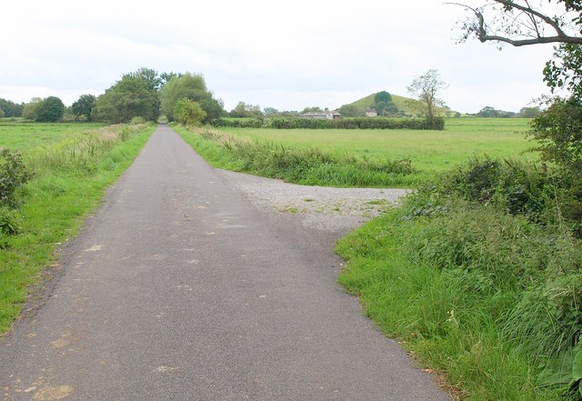
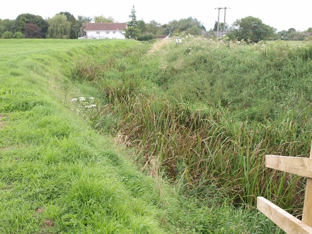
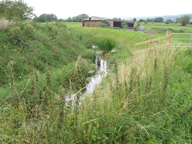
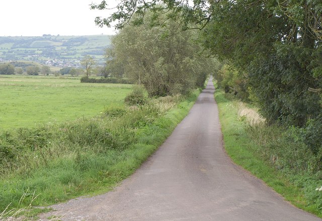
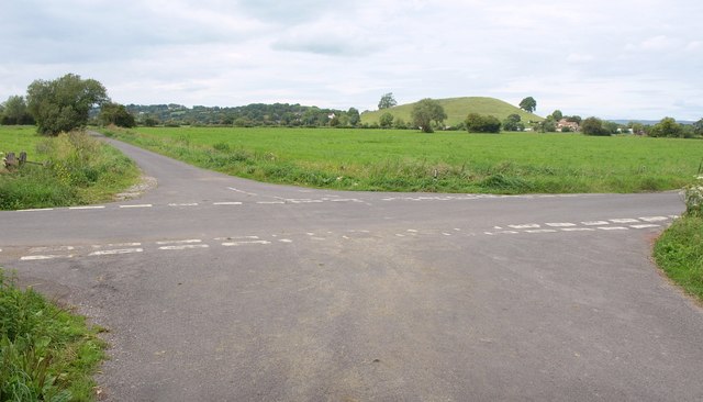
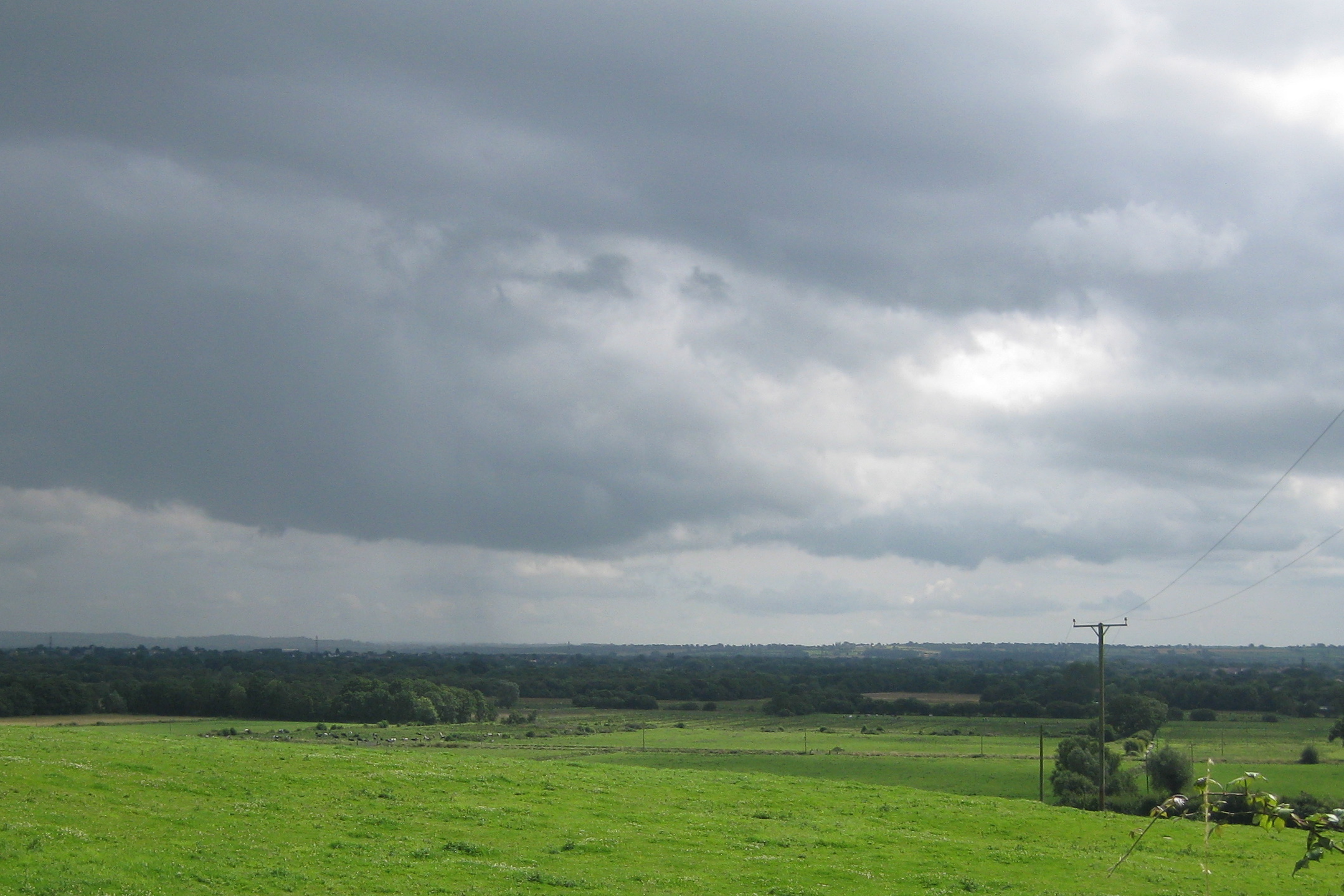
Bleadney is a small village located in the county of Somerset, England. It is situated approximately 4 miles south-west of the town of Wells and lies within the Mendip Hills Area of Outstanding Natural Beauty. The village is surrounded by picturesque countryside and offers stunning views of the rolling hills and nearby River Axe.

Despite its small size, Bleadney possesses a rich history dating back to the Domesday Book of 1086, where it was recorded as a settlement of 10 households. The village is known for its charming traditional stone cottages, which add to its quaint and peaceful atmosphere.

One of the notable features of Bleadney is the Bleadney Caves, a series of underground limestone caves that attract both tourists and cave enthusiasts. These caves are home to a variety of wildlife and offer a unique underground adventure for visitors. Additionally, the nearby Bleadney Mill, built in the 18th century, adds to the historical significance of the village.

Bleadney is a close-knit community with a small population. The village has a primary school, church, and a village hall which hosts various community events throughout the year. Despite its rural location, Bleadney benefits from good transport links, with the A371 passing through the village, providing easy access to nearby towns and cities.

Overall, Bleadney offers a peaceful and scenic setting, making it an ideal destination for those seeking a quiet retreat in the heart of the Somerset countryside.

If you have any feedback on the listing, please let us know in the comments section below.
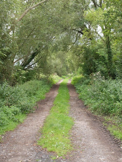
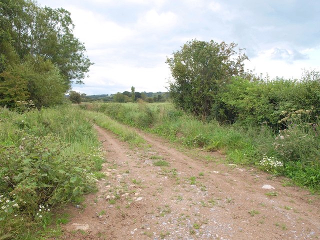
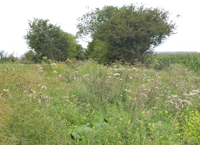
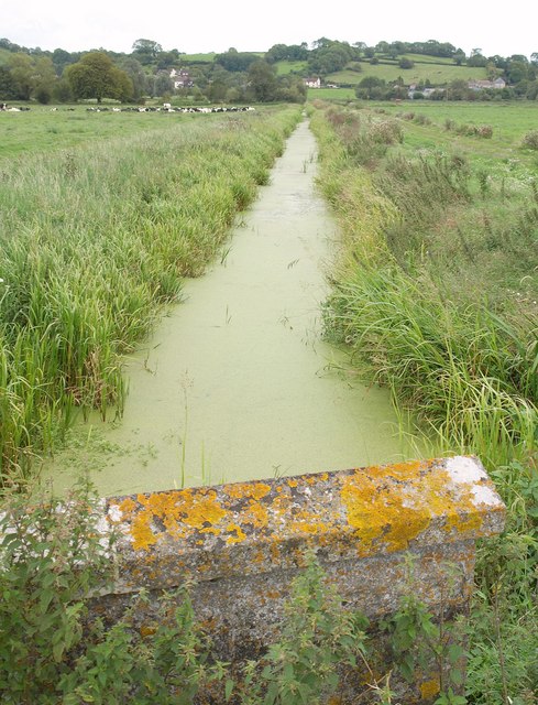
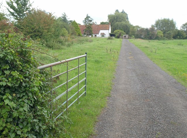
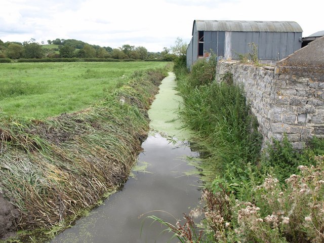
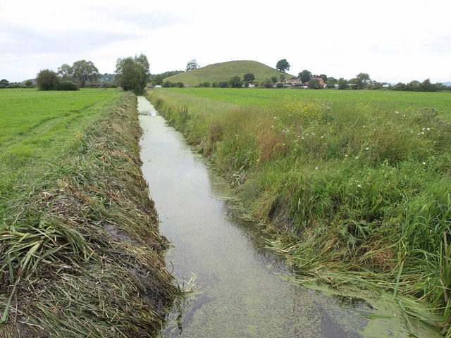
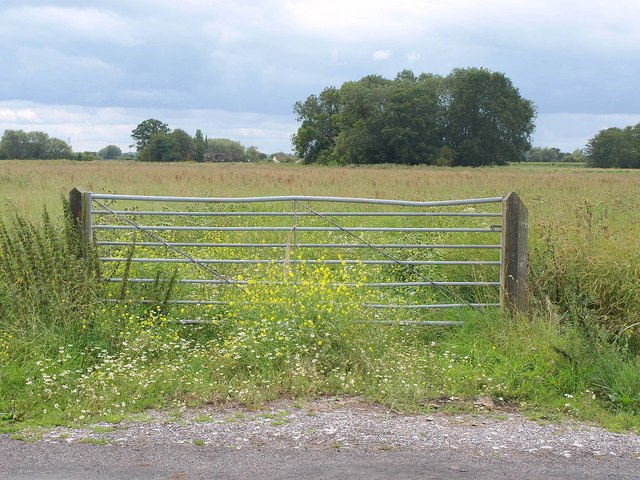
Bleadney Images

Images are sourced within 2km of 51.206048/-2.739034 or Grid Reference ST4845. Thanks to Geograph Open Source API. All images are credited.

White's Drove Followed by Restricted Byway WS 5/19, with overhanging ashes and other trees. Seen from where it leaves North Chine Drove.
White's Drove
Followed by Restricted Byway WS 5/19, with overhanging ashes and other trees. Seen from where it leaves North Chine Drove.
Knowle Moor Drove A lane over the levels, here passing willow trees as it veers away from the River Axe (behind the camera).
Knowle Moor Drove
A lane over the levels, here passing willow trees as it veers away from the River Axe (behind the camera).
Knowle Moor Drove Looking in the other direction from the spot where <a href="https://www.geograph.org.uk/photo/2587937">ST4947 : Knowle Moor Drove</a> was taken. The River Axe runs along the left side of the road.
Knowle Moor Drove
Looking in the other direction from the spot where ST4947 : Knowle Moor Drove was taken. The River Axe runs along the left side of the road.
Upper Old Enclosure Rhyne Taken from close to the same spot as <a href="https://www.geograph.org.uk/photo/95494">ST4946 : Knowle Hill</a>, looking more to the right.
Upper Old Enclosure Rhyne
Taken from close to the same spot as ST4946 : Knowle Hill, looking more to the right.
Knowle Moor Drove A junction on the drove, with Moor Sherd leaving on the left, and Taylor Paddock Drove, a footpath, on the right.
Knowle Moor Drove
A junction on the drove, with Moor Sherd leaving on the left, and Taylor Paddock Drove, a footpath, on the right.
Taylor Paddock Drove Carrying footpath WS 16/35, which crosses Knowle Moor Rhyne at these trees, though you can't tell that from the photograph.
Taylor Paddock Drove
Carrying footpath WS 16/35, which crosses Knowle Moor Rhyne at these trees, though you can't tell that from the photograph.
Knowle Moor Looking across the levels from Taylor Paddock Drove, a rather overgrown footpath (WS 16/35) north of the point shown in <a href="https://www.geograph.org.uk/photo/2588061">ST4846 : Taylor Paddock Drove</a>. The trees ahead are alongside the River Axe.
Knowle Moor
Looking across the levels from Taylor Paddock Drove, a rather overgrown footpath (WS 16/35) north of the point shown in ST4846 : Taylor Paddock Drove. The trees ahead are alongside the River Axe.
Taylor Paddock Drove Carrying footpath WS 16/35, and somewhat overgrown, with intermittent trees along the sides. Taken from the same spot as <a href="https://www.geograph.org.uk/photo/2588183">ST4847 : Knowle Moor</a>, which looks to the left. On the right is a field of maize.
Taylor Paddock Drove
Carrying footpath WS 16/35, and somewhat overgrown, with intermittent trees along the sides. Taken from the same spot as ST4847 : Knowle Moor, which looks to the left. On the right is a field of maize.
Webb's Rhyne <a href="https://www.geograph.org.uk/photo/95493">ST4846 : Knowle Moor</a> shows the rhyne looking in the other direction from Knowle Moor Drove, on a rather lovelier day. Set against the western end of Yarley Hill in the background is part of the village of Bleadney, in <a href="https://www.geograph.org.uk/gridref/ST4846">ST4846</a>.
Webb's Rhyne
ST4846 : Knowle Moor shows the rhyne looking in the other direction from Knowle Moor Drove, on a rather lovelier day. Set against the western end of Yarley Hill in the background is part of the village of Bleadney, in ST4846.
Knowle Moor Drove The drove runs dead straight for nearly two kilometres; this view from the junction with Marchey Drove, looks along the southwestern 450 metres of that stretch. On the right, partly hidden by a tree, is Barrow Hill.
Knowle Moor Drove
The drove runs dead straight for nearly two kilometres; this view from the junction with Marchey Drove, looks along the southwestern 450 metres of that stretch. On the right, partly hidden by a tree, is Barrow Hill.
Lower River Axe The river, really a former irrigation channel and millstream, flows (there's water in there somewhere) towards the camera heading for Panborough Moor, where it meets the real River Axe. In the background is Scotland House. View from Knowle Moor Drove.
Lower River Axe
The river, really a former irrigation channel and millstream, flows (there's water in there somewhere) towards the camera heading for Panborough Moor, where it meets the real River Axe. In the background is Scotland House. View from Knowle Moor Drove.
Lower River Axe See <a href="https://www.geograph.org.uk/photo/2588558">ST4845 : Lower River Axe</a>; this view, looking downstream from the same spot, demonstrates there is water in the channel.
Lower River Axe
See ST4845 : Lower River Axe; this view, looking downstream from the same spot, demonstrates there is water in the channel.
Knowle Moor Drove Looking along the start of the straight stretch of the drove described in <a href="https://www.geograph.org.uk/photo/2588503">ST4845 : Knowle Moor Drove</a>, from the same spot as <a href="https://www.geograph.org.uk/photo/2588558">ST4845 : Lower River Axe</a> and <a href="https://www.geograph.org.uk/photo/2588604">ST4845 : Lower River Axe</a>, with the Mendips across the levels on the left.
Knowle Moor Drove
Looking along the start of the straight stretch of the drove described in ST4845 : Knowle Moor Drove, from the same spot as ST4845 : Lower River Axe and ST4845 : Lower River Axe, with the Mendips across the levels on the left.
Reed Farm Looking up the drive to the farm from the B3139.
Reed Farm
Looking up the drive to the farm from the B3139.
Rhyne near Bleadney A view from Tilley's Drove along a rhyne past some farm buildings.
Rhyne near Bleadney
A view from Tilley's Drove along a rhyne past some farm buildings.
Rhyne near Bleadney Looking in the other direction from the spot where <a href="https://www.geograph.org.uk/photo/2588714">ST4745 : Rhyne near Bleadney</a> was taken, on the other side of Tilley's Drove. Ahead is <a href="https://www.geograph.org.uk/photo/93989">ST4745 : Panborough Hill</a> - mapped as Barrow Hill - with Barrow House Farm at its foot.
Rhyne near Bleadney
Looking in the other direction from the spot where ST4745 : Rhyne near Bleadney was taken, on the other side of Tilley's Drove. Ahead is ST4745 : Panborough Hill - mapped as Barrow Hill - with Barrow House Farm at its foot.
Gate and field, Yeap's Drove <a href="https://www.geograph.org.uk/photo/89431">ST4844 : The Road down to Godney</a> was taken further down this road to the left. This looks across it and across a meadow beyond. The prominent clump of trees and the distant Brook Farm to its left are both in <a href="https://www.geograph.org.uk/gridref/ST4744">ST4744</a>.
Gate and field, Yeap's Drove
ST4844 : The Road down to Godney was taken further down this road to the left. This looks across it and across a meadow beyond. The prominent clump of trees and the distant Brook Farm to its left are both in ST4744.
Crossroads on the levels Yeap's Drove gives way to Tilley's Drove. Ahead is Barrow Hill, in <a href="https://www.geograph.org.uk/gridref/ST4745">ST4745</a>.
Crossroads on the levels
Yeap's Drove gives way to Tilley's Drove. Ahead is Barrow Hill, in ST4745.
Show me another place!

Bleadney is located at Grid Ref: ST4845 (Lat: 51.206048, Lng: -2.739034)

Administrative County: Somerset

District: Mendip

Police Authority: Avon and Somerset

What 3 Words

///hydration.spreading.proposals. Near Wedmore, Somerset

Nearby Locations

Bleadney

Related Wikis

Christ Church, Theale

Christ Church is a Church of England church in Theale, Somerset, England. It was built in 1826–28 to the design of Richard Carver and is a Grade II listed...

Godney

Godney is a village and civil parish near Glastonbury on the River Sheppey on the Somerset Levels in the Mendip district of Somerset, England. == History... ==

Ben Knowle

Ben Knowle (grid reference ST513450) is a 1.5 hectare geological Site of Special Scientific Interest in Somerset, notified in 1984. Ben Knowle is a natural...

Holy Trinity Church, Godney

Holy Trinity Church is a former Church of England church in Godney, Somerset, England. Designed by George Phillips Manners, it was built in 1839–41 and...

Fenny Castle

Fenny Castle is the remains of a motte and bailey castle in the parish of Wookey, Somerset, England. It is a Scheduled Ancient Monument, but not accessible...

Westhay Moor

Westhay Moor (sometimes, historically, referred to as West Hay Moor) is a 513.7-hectare (1,269-acre) biological Site of Special Scientific Interest 2.5...

Lodge Hill railway station

Lodge Hill railway station was a station on the Bristol and Exeter Railway's Cheddar Valley line in Somerset, England from 1870 until 1963. The station...

Wookey

Wookey is a village and civil parish 2 miles (3.2 km) west of Wells, on the River Axe in Somerset, England. The parish includes the village of Henton and...

Nearby Amenities

Located within 500m of 51.206048,-2.739034
Bleadney
Created By: Potlatch 0.10f
Place: hamlet
Source: New Popular Edition
Lat/Long: 51.203451/-2.7378454
Pub
Lat/Long: 51.205869/-2.735793
Man Made: pumping_station
Source: OS OpenData StreetView
Lat/Long: 51.2049432/-2.741917
The data included in this document is from www.openstreetmap.org. The data is made available under ODbL.

Have you been to Bleadney?

Leave your review of Bleadney below (or comments, questions and feedback).