Bleach Green
Settlement in Suffolk Mid Suffolk
England
Bleach Green

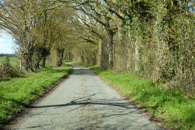
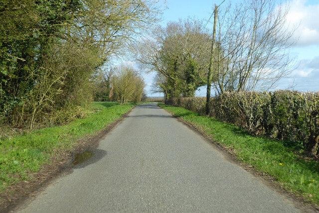
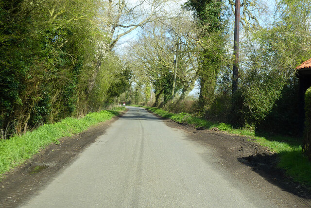
Bleach Green is a small village situated in the county of Suffolk, England. Nestled within the picturesque countryside, it offers a tranquil and idyllic setting for its residents. The village is located about five miles southeast of the bustling market town of Bury St Edmunds, providing easy access to amenities and services.
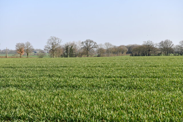
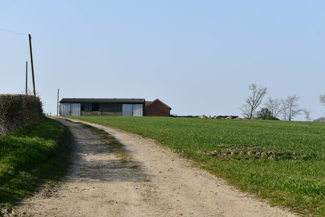
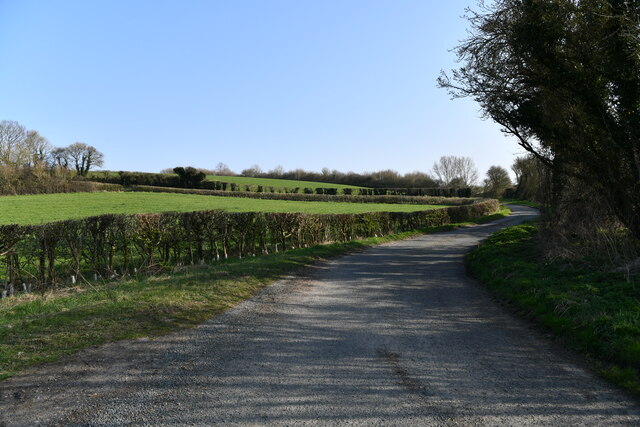
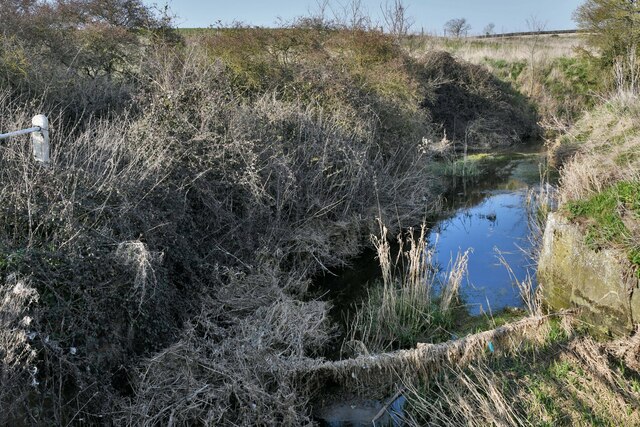
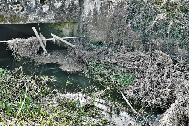
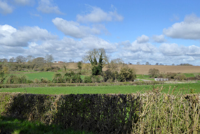
The origins of Bleach Green can be traced back to the medieval period when it was primarily an agricultural community. Over the years, the village has retained its rural charm and character, with a handful of traditional cottages dotting the landscape. The surrounding area is rich in natural beauty, with rolling green fields and meandering streams, making it an ideal location for nature enthusiasts and outdoor lovers.
Despite its small size, Bleach Green boasts a strong sense of community spirit. The village hosts regular social events and gatherings, fostering a close-knit atmosphere among its residents. The local village hall serves as a hub for various activities, including community meetings, clubs, and celebrations.
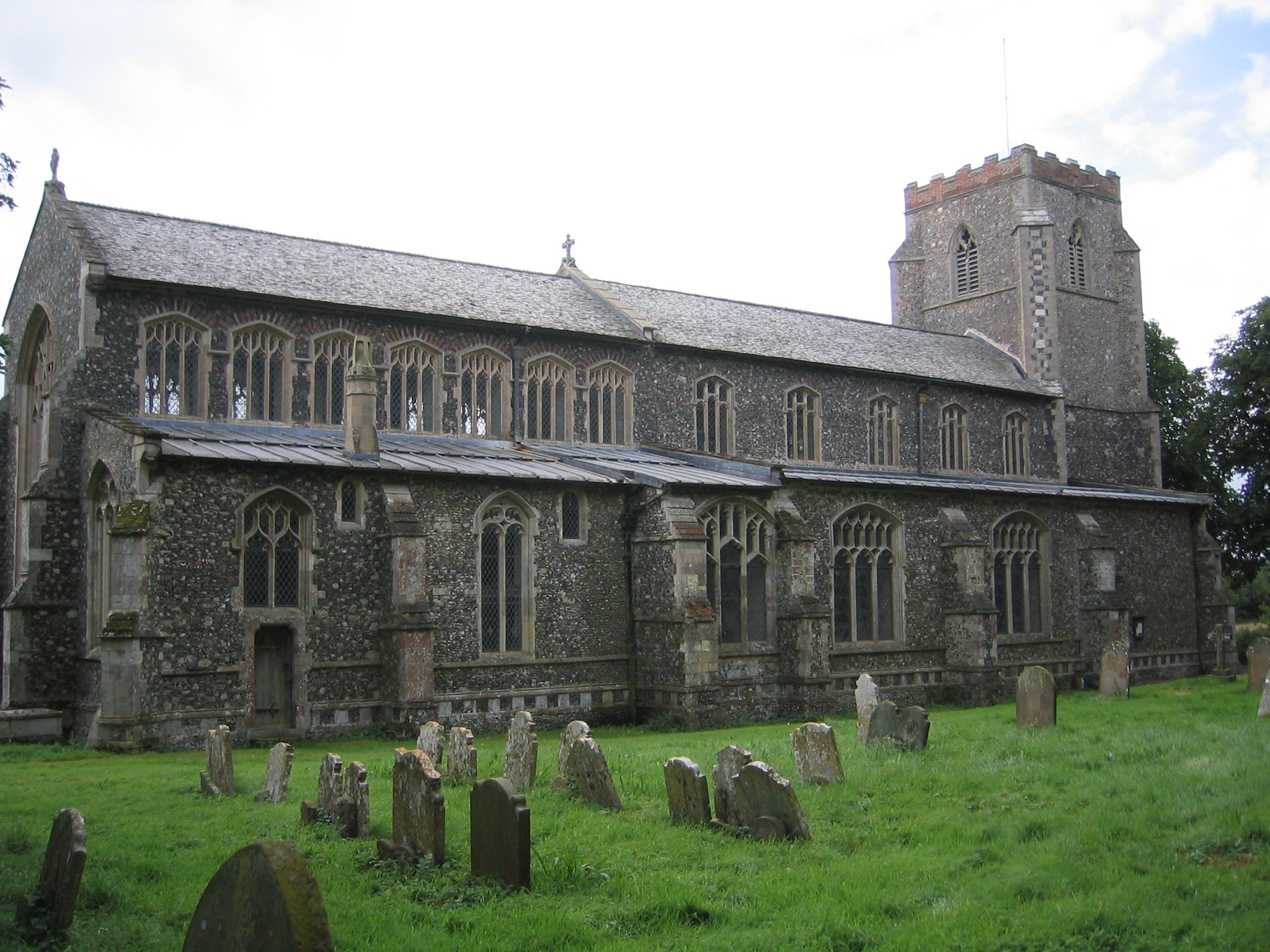
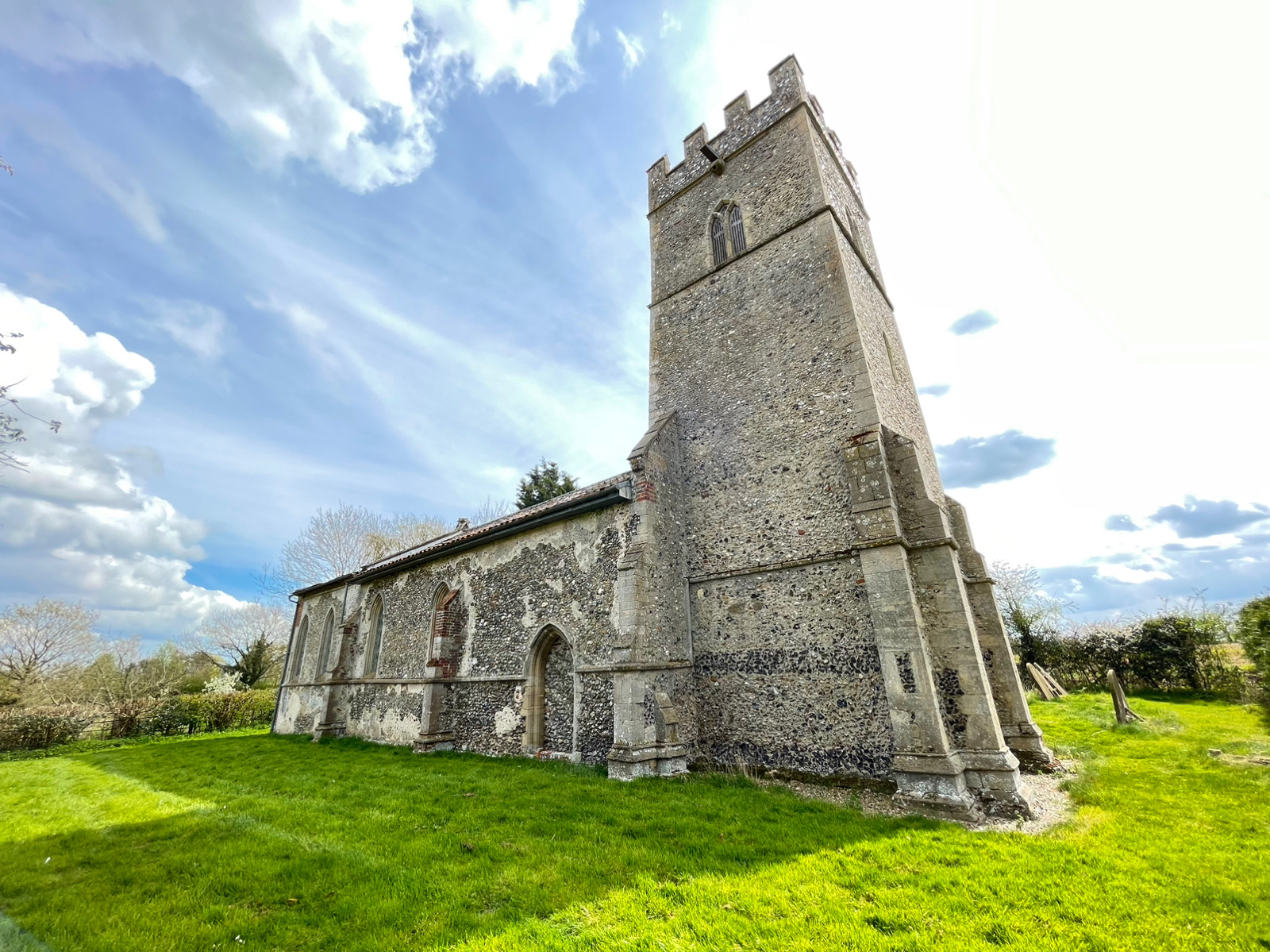
For those seeking recreational activities, nearby attractions include scenic walking and cycling trails that lead to nearby woodlands and nature reserves. The village is also within easy reach of historical landmarks, such as the impressive Ickworth House and Gardens.
With its peaceful ambiance, picturesque surroundings, and strong community ties, Bleach Green offers a charming escape from the hustle and bustle of modern life, making it an appealing place to reside or visit for a tranquil countryside experience.
If you have any feedback on the listing, please let us know in the comments section below.
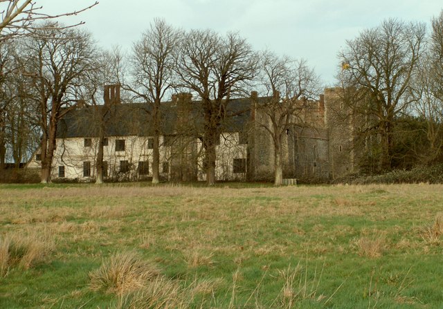
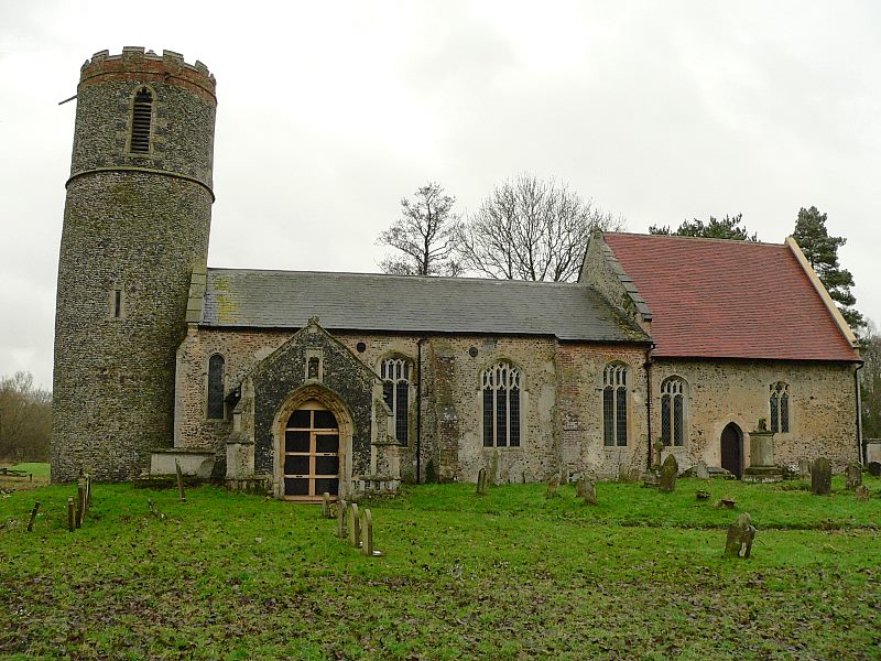
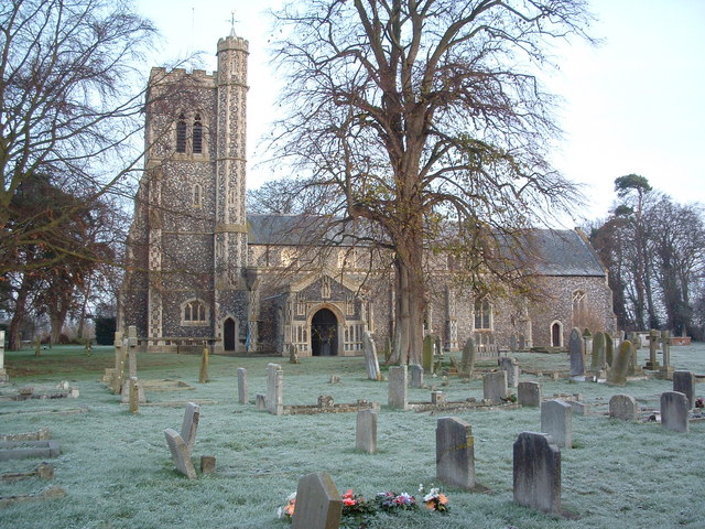
Bleach Green Images
Images are sourced within 2km of 52.351211/1.2768859 or Grid Reference TM2377. Thanks to Geograph Open Source API. All images are credited.


Bleach Green is located at Grid Ref: TM2377 (Lat: 52.351211, Lng: 1.2768859)
Administrative County: Suffolk
District: Mid Suffolk
Police Authority: Suffolk
What 3 Words
///summit.visa.office. Near Stradbroke, Suffolk
Nearby Locations
Related Wikis
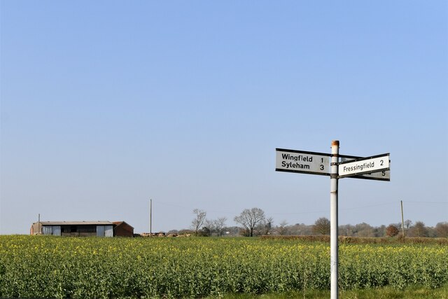
Wingfield, Suffolk
Wingfield is a village in the English county of Suffolk. It is found 7 miles (11 km) east of Diss, signposted off B1118, near Eye. Wingfield Castle, which...
Coston, Norfolk
Coston is a village and former civil parish, now in the parish of Brandon Parva, Coston, Runhall and Welborne, in the South Norfolk district, in the county...
Wingfield Castle
Wingfield Castle in the parish of Wingfield in Suffolk, England is a fortified manor house which was the ancestral home of the Wingfield family and their...

Syleham Windmill
Syleham Windmill was a Grade II listed post mill at Syleham, Suffolk, England which was built in 1730 at Wingfield and moved to Syleham in 1823. It was...
Syleham
Syleham is a small parish, next to the River Waveney in Suffolk, England, about six miles east of Diss. Its church, St Margaret, is one of 38 existing...

Chickering, Suffolk
Chickering is a place in the civil parish of Hoxne, and the Mid Suffolk district of Suffolk, England. It is on the B118 Hoxne to Stradbroke road, and approximately...

Fressingfield
Fressingfield is a village in Suffolk, England, 12 miles (19 km) east of Diss, Norfolk. In 2015 it had a population of 1021, with one shop (a Mace (shop...
Brockdish
Brockdish is a village and civil parish in the South Norfolk district of Norfolk, England. The village is situated on the River Waveney (south of which...
Nearby Amenities
Located within 500m of 52.351211,1.2768859Have you been to Bleach Green?
Leave your review of Bleach Green below (or comments, questions and feedback).