Blaydon Haughs
Settlement in Durham
England
Blaydon Haughs

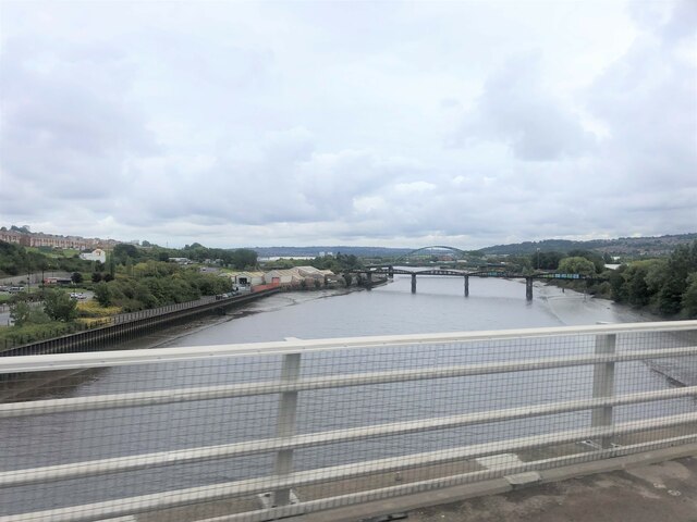
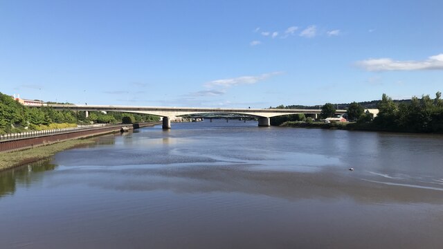
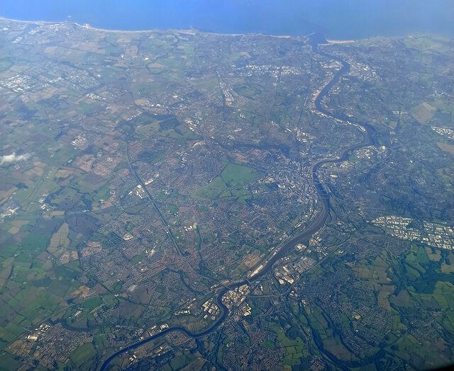
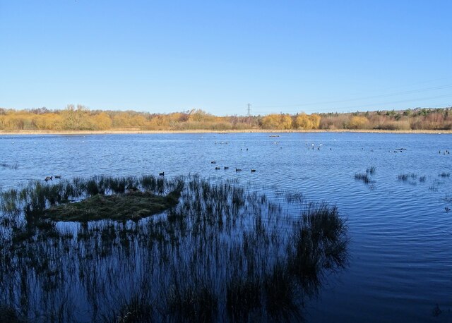
Blaydon Haughs is a picturesque area located in Durham, England. Situated along the River Tyne, Blaydon Haughs is known for its lush greenery and stunning views of the surrounding countryside. The area is popular among locals and visitors alike for its peaceful atmosphere and opportunities for outdoor activities such as walking, picnicking, and birdwatching.
Blaydon Haughs is also home to a variety of wildlife, including birds, fish, and other small animals. The river provides a habitat for a diverse range of species, making it a popular spot for nature enthusiasts. The area is well-maintained and offers a network of walking trails that wind through the meadows and along the riverbank, allowing visitors to explore the natural beauty of the surroundings.
In addition to its natural attractions, Blaydon Haughs is also home to a few historical landmarks, including the Blaydon Burn Farmhouse, which dates back to the 18th century. Overall, Blaydon Haughs is a charming destination for those looking to escape the hustle and bustle of city life and immerse themselves in the tranquility of nature.
If you have any feedback on the listing, please let us know in the comments section below.
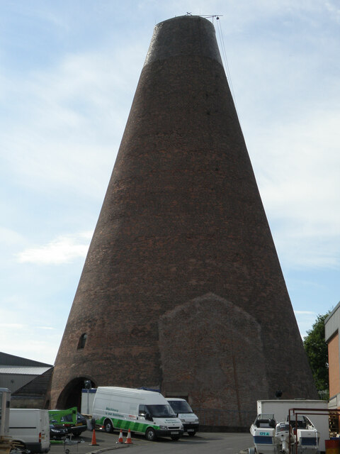
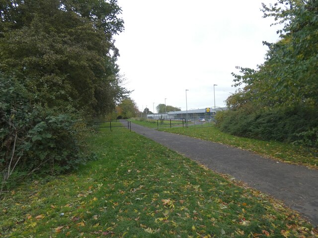
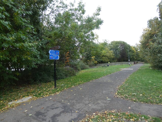
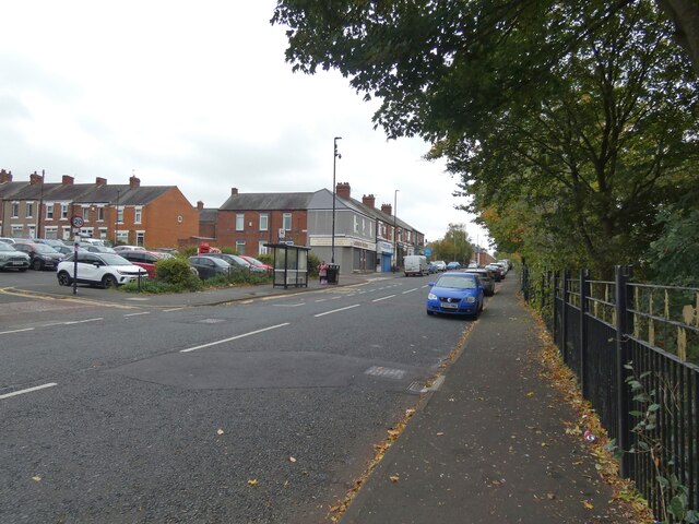
Blaydon Haughs Images
Images are sourced within 2km of 54.969826/-1.701607 or Grid Reference NZ1963. Thanks to Geograph Open Source API. All images are credited.


Blaydon Haughs is located at Grid Ref: NZ1963 (Lat: 54.969826, Lng: -1.701607)
Unitary Authority: Gateshead
Police Authority: Northumbria
What 3 Words
///river.songs.toxic. Near Blaydon-on-Tyne, Tyne & Wear
Nearby Locations
Related Wikis

Newcastle Blue Star F.C.
Newcastle Blue Star F.C. is a football club based in Newcastle upon Tyne, England. It was established in 1930 and joined the Wearside League in 1973. In...
Anglo Great Lakes Graphite Plant
The Anglo Great Lakes Graphite Plant was a large graphite works situated in the North East of England. It was positioned at Lemington in Newcastle upon...
Lemington railway station
Lemington railway station served the district of Lemington, Newcastle-upon-Tyne, England from 1875 to 1964 on the Tyne Valley Line. == History == The station...
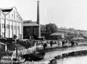
Lemington Power Station
Lemington Power Station was a small, now demolished coal-fired power station, located in North East England. It was situated on the Lemington Gut, a backwater...
Nearby Amenities
Located within 500m of 54.969826,-1.701607Have you been to Blaydon Haughs?
Leave your review of Blaydon Haughs below (or comments, questions and feedback).