Blaydon Burn
Settlement in Durham
England
Blaydon Burn
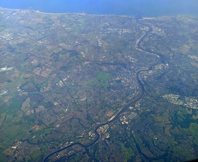
Blaydon Burn is a small village located in Durham, England. It is situated near the River Tyne and is part of the wider metropolitan area of Newcastle upon Tyne. The village is known for its scenic surroundings, with rolling hills and lush greenery dominating the landscape.
Blaydon Burn has a rich history, dating back to Roman times when it was a strategic location for trade and defense. Today, the village is a peaceful and quiet community, with a mix of residential housing and local amenities such as shops and pubs.
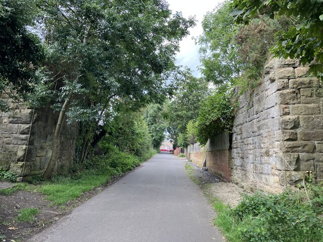
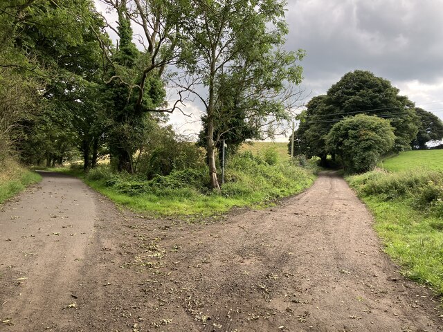
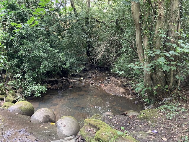
One of the main attractions in Blaydon Burn is the Blaydon Burn Nature Reserve, which offers visitors the chance to explore a variety of habitats including woodlands, wetlands, and meadows. The reserve is home to a diverse range of wildlife, making it a popular spot for birdwatching and nature enthusiasts.
Overall, Blaydon Burn is a charming village with a strong sense of community and a beautiful natural setting. It is a great place to visit for those looking to escape the hustle and bustle of city life and enjoy some peace and tranquility in the countryside.
If you have any feedback on the listing, please let us know in the comments section below.
Blaydon Burn Images
Images are sourced within 2km of 54.953745/-1.743105 or Grid Reference NZ1662. Thanks to Geograph Open Source API. All images are credited.


Blaydon Burn is located at Grid Ref: NZ1662 (Lat: 54.953745, Lng: -1.743105)
Unitary Authority: Gateshead
Police Authority: Northumbria
What 3 Words
///amount.modes.number. Near Blaydon-on-Tyne, Tyne & Wear
Nearby Locations
Related Wikis

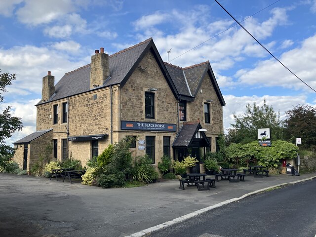
Winlaton
Winlaton is a village situated in the Metropolitan Borough of Gateshead, Tyne and Wear, England. Historically in County Durham, it was incorporated into...
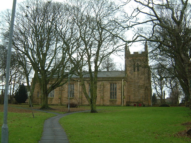
St Paul's Church, Winlaton
St Paul's Church is a 19th-century church in Winlaton, Tyne and Wear, England, dedicated to St Paul. It is a Grade II listed building. == History == The...
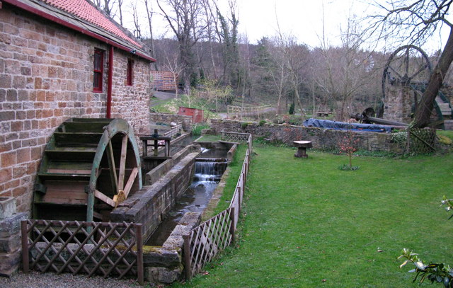
Path Head Watermill
Path Head Mill is an 18th-century watermill at Summerhill on Blaydon Burn, between Blaydon and Stella, near Gateshead in north-east England. The Vale Mill...

St Thomas More Catholic School, Blaydon
St Thomas More Catholic School is a Roman Catholic secondary school with academy status in Blaydon, Tyne and Wear, England, providing teaching to 11- to...
Nearby Amenities
Located within 500m of 54.953745,-1.743105Have you been to Blaydon Burn?
Leave your review of Blaydon Burn below (or comments, questions and feedback).