Blaydon
Settlement in Durham
England
Blaydon
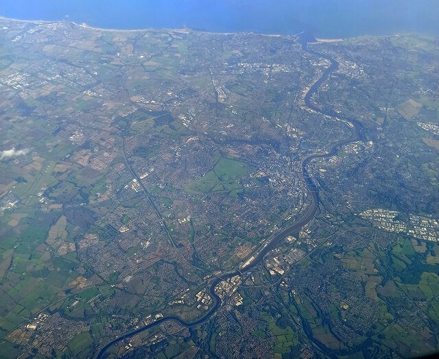
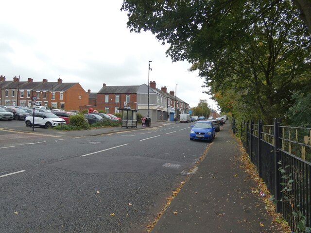
Blaydon is a small town located in the metropolitan borough of Gateshead, in the county of Tyne and Wear, England. Situated on the southern bank of the River Tyne, it is approximately 5 miles southwest of Newcastle upon Tyne. Blaydon is part of the broader region of Durham, known for its stunning landscapes and rich history.
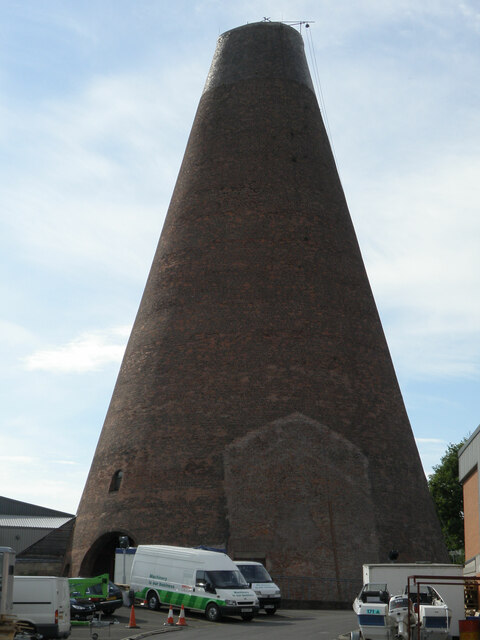
The town of Blaydon has a population of around 13,000 people and has a strong industrial heritage, particularly in coal mining and engineering. However, in recent years, it has undergone significant redevelopment, transforming into a thriving residential and commercial hub. Despite this growth, Blaydon has managed to maintain its distinct charm and close-knit community feel.
Blaydon offers a range of amenities and services, including shops, supermarkets, schools, and healthcare facilities, making it an attractive place to live for families and professionals alike. The area also benefits from excellent transportation links, with easy access to major roads and public transportation, allowing residents to easily explore the surrounding areas.
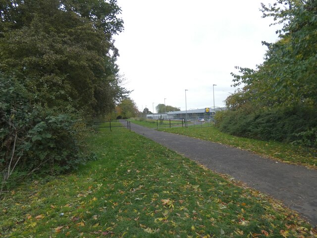
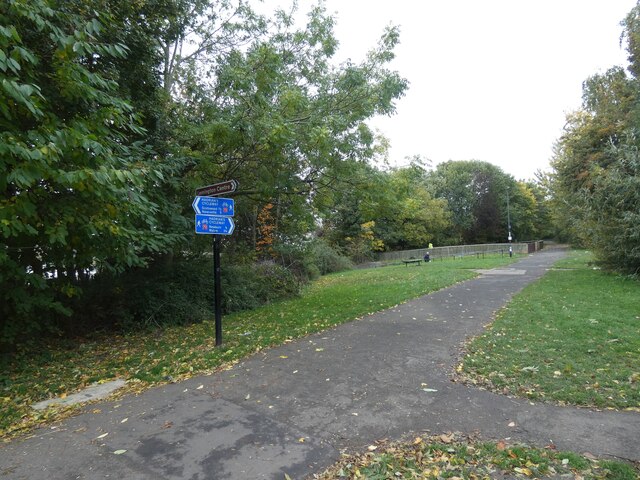
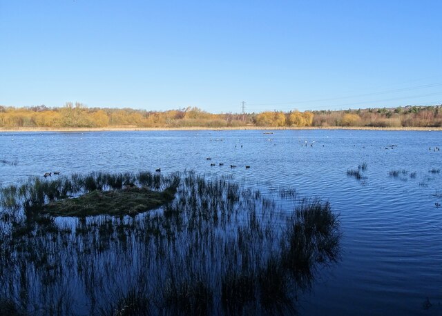
Nature enthusiasts can take advantage of Blaydon's proximity to beautiful countryside, such as the Derwent Valley, which offers picturesque walks, cycling routes, and wildlife spotting opportunities. Additionally, the nearby town of Durham is renowned for its historic cathedral, castle, and university, providing residents with cultural and educational experiences.
Overall, Blaydon, Durham, is a delightful town that combines its industrial past with modern amenities, creating a pleasant environment for residents and visitors to enjoy.
If you have any feedback on the listing, please let us know in the comments section below.
Blaydon Images
Images are sourced within 2km of 54.964685/-1.7139474 or Grid Reference NZ1863. Thanks to Geograph Open Source API. All images are credited.


Blaydon is located at Grid Ref: NZ1863 (Lat: 54.964685, Lng: -1.7139474)
Unitary Authority: Gateshead
Police Authority: Northumbria
What 3 Words
///lunch.spots.lend. Near Blaydon-on-Tyne, Tyne & Wear
Nearby Locations
Related Wikis

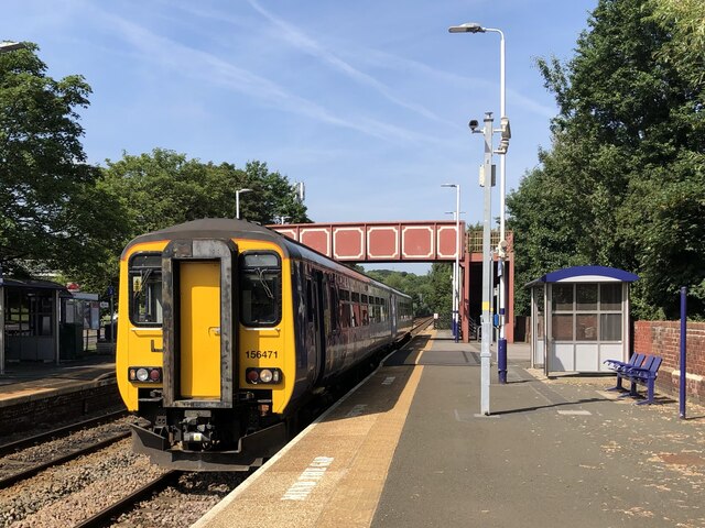
Blaydon railway station
Blaydon is a railway station on the Tyne Valley Line, which runs between Newcastle and Carlisle via Hexham. The station, situated 5 miles 39 chains (5...

Blaydon
Blaydon is a town in the Metropolitan Borough of Gateshead, Tyne and Wear, England, and historically in County Durham. Blaydon, and neighbouring Winlaton...

Anglo Great Lakes Graphite Plant
The Anglo Great Lakes Graphite Plant was a large graphite works situated in the North East of England. It was positioned at Lemington in Newcastle upon...
Ottovale coke works
Ottovale coke works was a large industrial complex situated at Blaydon Burn, near Blaydon-on-Tyne, Gateshead, North East England. The complex comprised...
Nearby Amenities
Located within 500m of 54.964685,-1.7139474Have you been to Blaydon?
Leave your review of Blaydon below (or comments, questions and feedback).