Shrewley Common
Settlement in Warwickshire Warwick
England
Shrewley Common
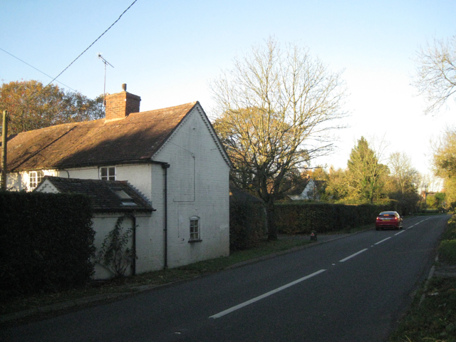
Shrewley Common is a small village located in the county of Warwickshire, England. Situated approximately 7 miles southeast of the town of Warwick, it is nestled within the picturesque countryside of the Midlands.
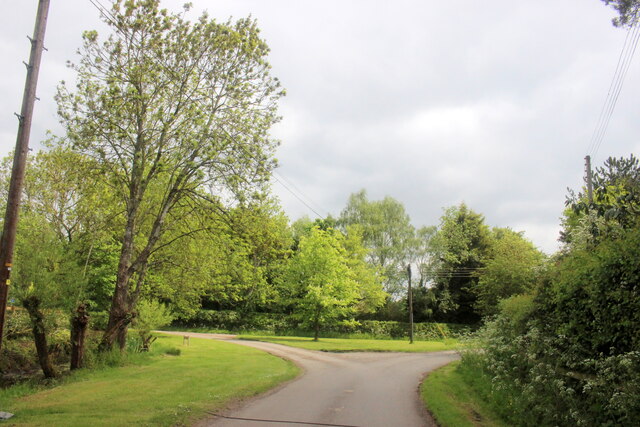
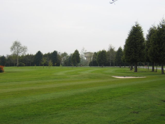
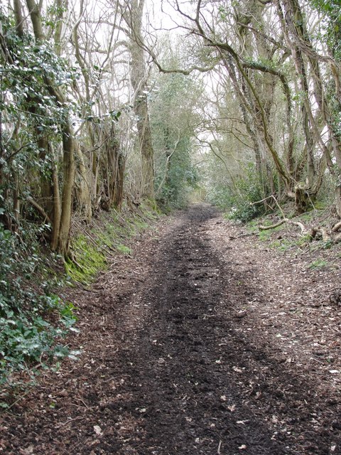
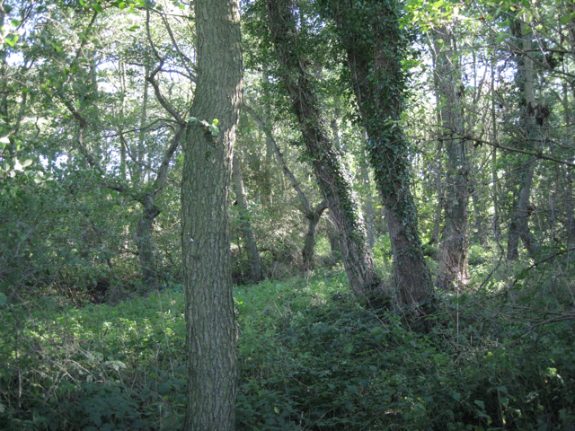
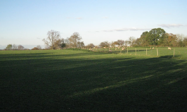
The village is known for its charming rural setting, with rolling green fields, lush woodlands, and a tranquil atmosphere. Shrewley Common is surrounded by several other small villages, including Hatton and Rowington, which contribute to the close-knit community feel of the area.
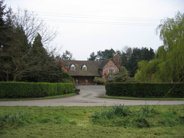
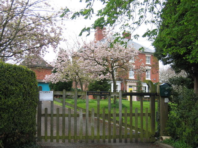
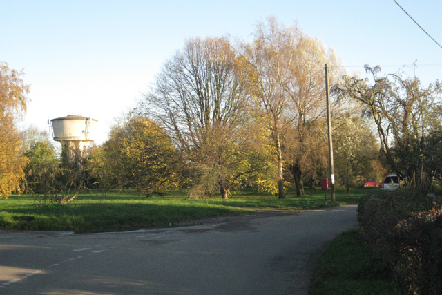
The heart of Shrewley Common is dominated by a village green, a traditional focal point for community gatherings and events. The green is bordered by a scattering of residential properties, ranging from quaint cottages to more modern houses, creating a diverse architectural landscape.
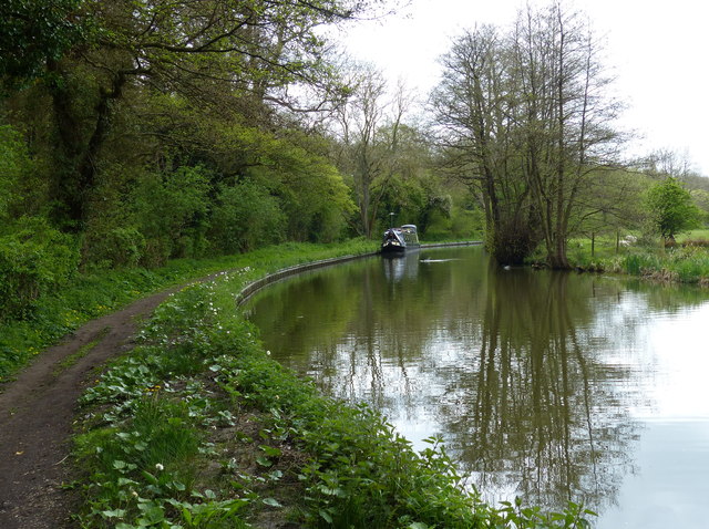
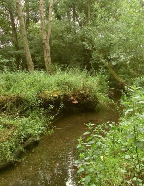
One of the standout features of Shrewley Common is its proximity to the Grand Union Canal. This historic waterway meanders through the village, offering residents and visitors the opportunity to enjoy leisurely walks along the towpath, cycling, or even boating. The canal is also home to a variety of wildlife, making it a popular spot for nature enthusiasts.
The village benefits from excellent transport links, with the M40 motorway just a short drive away, providing easy access to nearby towns and cities. Additionally, the nearby Warwick Parkway railway station offers regular services to London and Birmingham, making Shrewley Common an attractive location for commuters.
Overall, Shrewley Common is a peaceful and picturesque village, offering a perfect blend of rural charm and convenient amenities. With its idyllic surroundings and strong sense of community, it is an appealing destination for those seeking a tranquil lifestyle in the heart of Warwickshire.
If you have any feedback on the listing, please let us know in the comments section below.
Shrewley Common Images
Images are sourced within 2km of 52.300725/-1.6934655 or Grid Reference SP2167. Thanks to Geograph Open Source API. All images are credited.


Shrewley Common is located at Grid Ref: SP2167 (Lat: 52.300725, Lng: -1.6934655)
Administrative County: Warwickshire
District: Warwick
Police Authority: Warwickshire
What 3 Words
///discouraged.outhouse.combos. Near Hatton, Warwickshire
Nearby Locations
Related Wikis
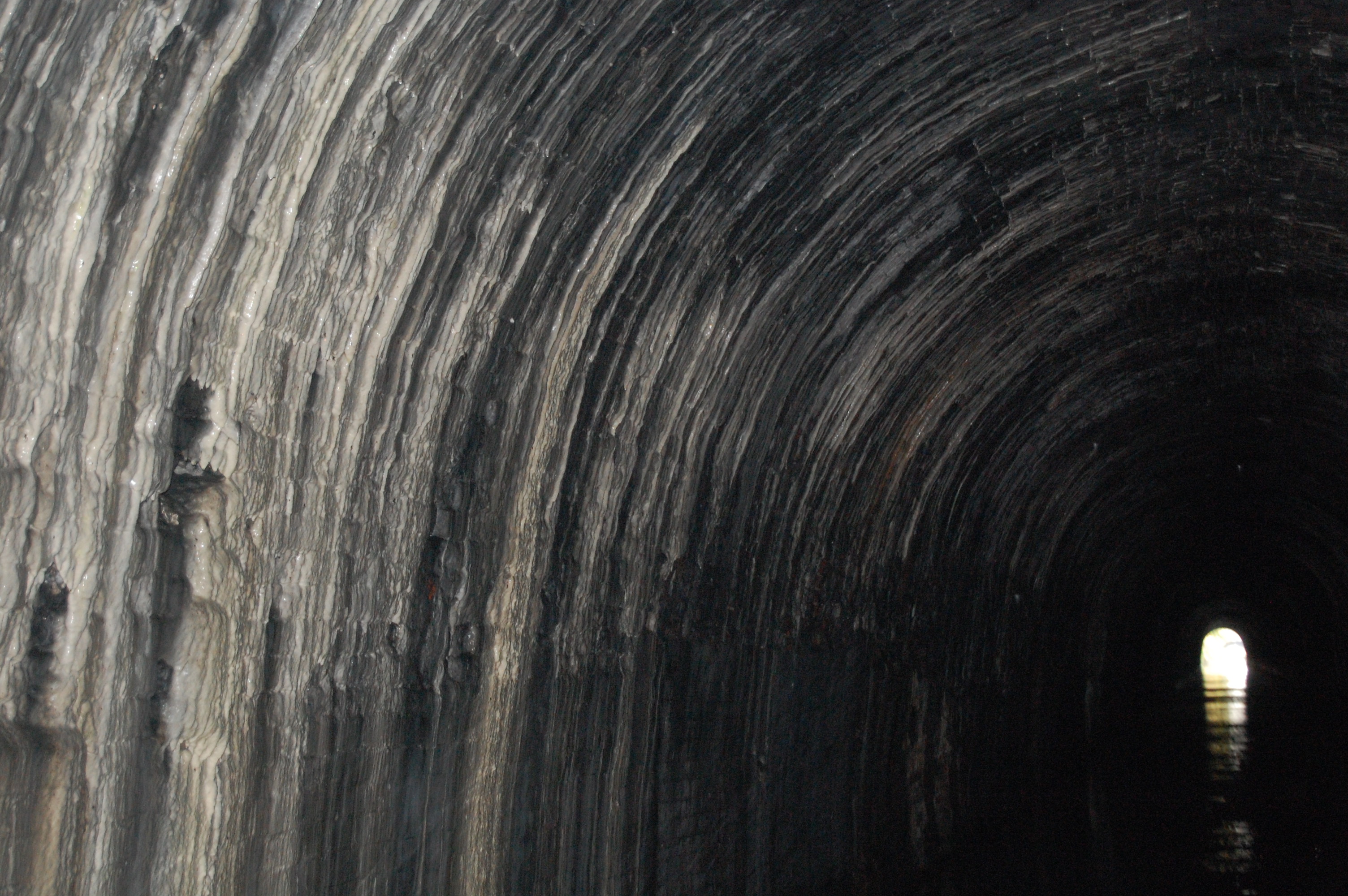
Shrewley Tunnel
Shrewley Tunnel is a canal tunnel near Shrewley, Warwickshire, England, which opened in 1799. It became part of the Grand Union Canal in 1929. == History... ==

Mercia Mudstone Group
The Mercia Mudstone Group is an early Triassic lithostratigraphic group (a sequence of rock strata) which is widespread in Britain, especially in the English...

Shrewley
Shrewley is a village and civil parish in Warwickshire, England, about 5 miles north-west of Warwick. It consists of Little Shrewley, and Shrewley Common...

Pinley Priory
Pinley Priory, also called Pinley Abbey, was a Cistercian nunnery in the parish of Rowington in Warwickshire, England. It was founded in the early 12th...
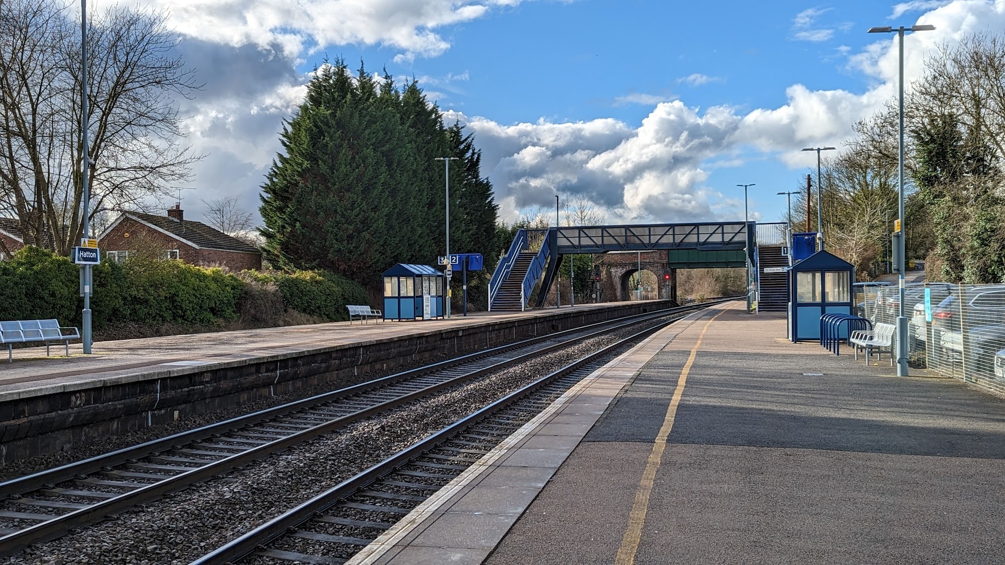
Hatton railway station (England)
Hatton railway station takes the name of the village of Hatton in Warwickshire, England, although it is about 1 mile (1.6 km) from the village. It is situated...
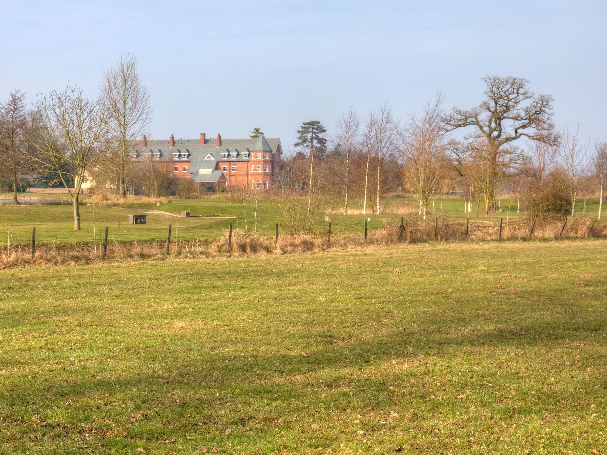
Ardencote Manor
Ardencote Manor is a hotel and former manor house located 0.5 miles (0.8 km) north of the village of Claverdon, Warwickshire, England. The manor was originally...

Rowington
Rowington is a village and civil parish in the English county of Warwickshire. It is five miles north-west of the town of Warwick and five miles south...

Haseley
Haseley is a small village and former civil parish in Warwickshire, England. It is four miles north-west of the county town of Warwick and nine miles...
Nearby Amenities
Located within 500m of 52.300725,-1.6934655Have you been to Shrewley Common?
Leave your review of Shrewley Common below (or comments, questions and feedback).