Shirland
Settlement in Derbyshire North East Derbyshire
England
Shirland
Shirland is a small village located in the county of Derbyshire, in the East Midlands region of England. It is situated approximately 7 miles south-east of the town of Chesterfield and 14 miles north of Derby.
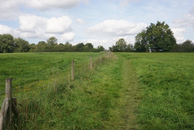
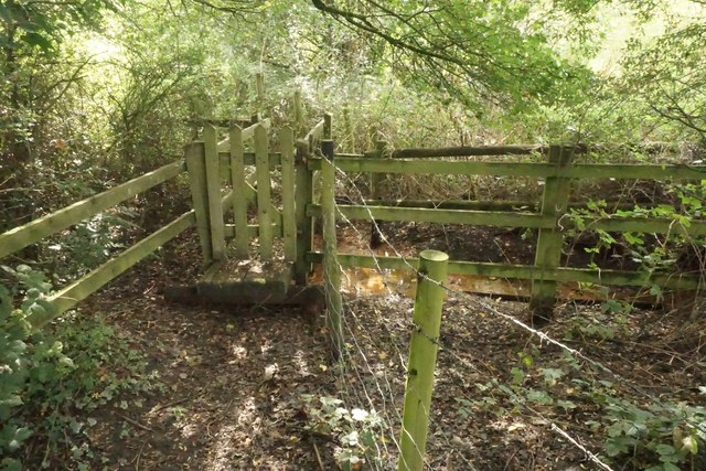
With a population of around 1,200 people, Shirland has a charming and rural atmosphere. The village is surrounded by picturesque countryside, offering stunning views of the nearby Peak District National Park. It is conveniently located near the A61 road, providing easy access to neighboring towns and cities.
Shirland has a rich history that dates back to the medieval period. The village is known for its historic buildings, including the Grade II listed Shirland Hall and the St. Leonard's Church, which dates back to the 12th century. These architectural gems add to the village's character and attract visitors interested in history and heritage.
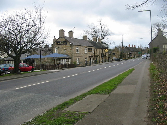
The community in Shirland is close-knit and vibrant. The village has a primary school, a local pub, a village hall, and a cricket club, which serve as focal points for social activities and events. Residents can also enjoy scenic walks and outdoor activities in the surrounding countryside.
In terms of amenities, Shirland is well-served by nearby towns, where residents can access a range of shops, supermarkets, and healthcare facilities. The village also benefits from good transport links, with regular bus services connecting it to Chesterfield and Derby.
Overall, Shirland offers a peaceful and idyllic setting for those looking to reside in a rural village, while still having access to urban conveniences.
If you have any feedback on the listing, please let us know in the comments section below.
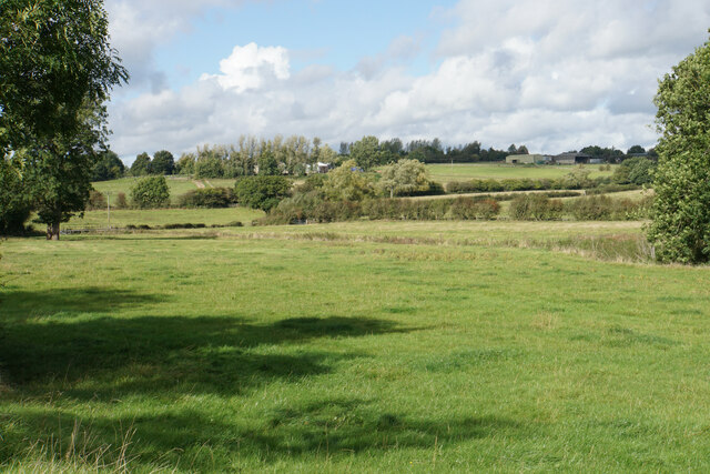
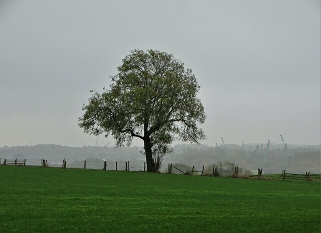
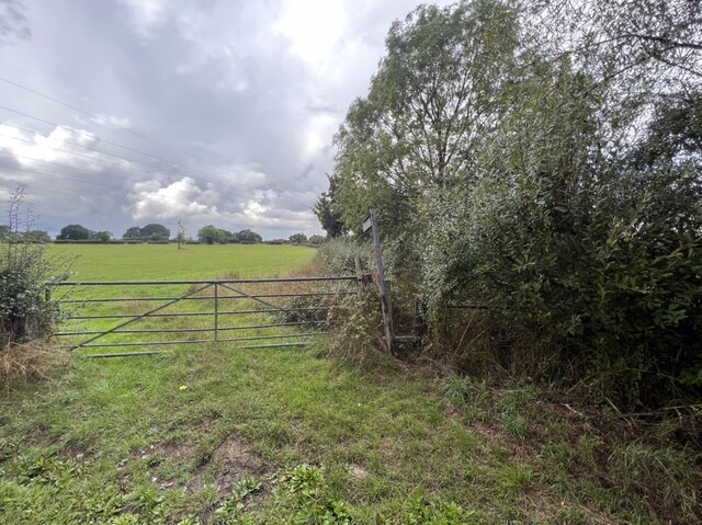
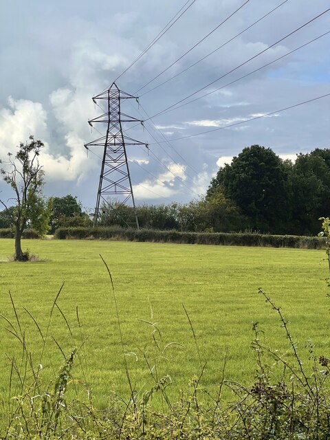
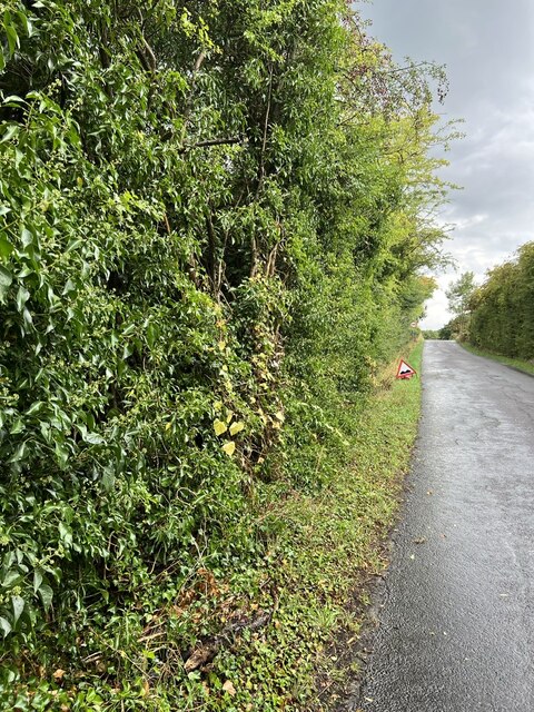
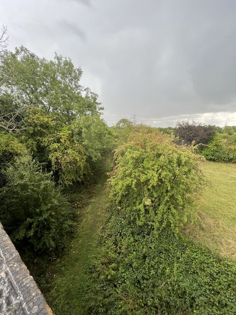
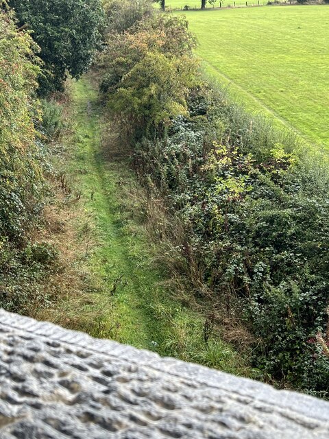
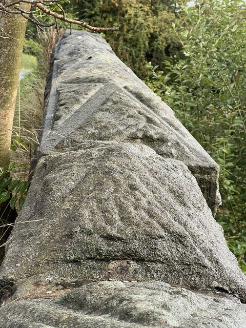
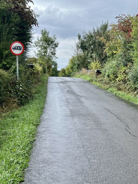
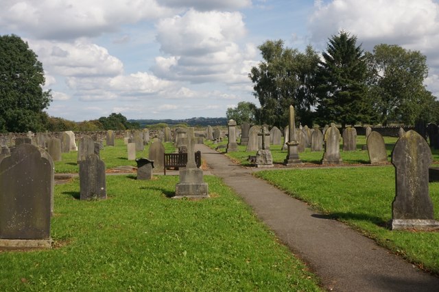
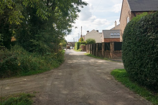
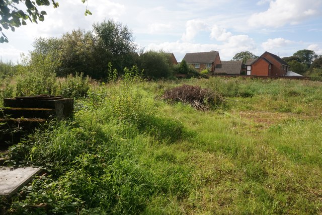
Shirland Images
Images are sourced within 2km of 53.122808/-1.405347 or Grid Reference SK3958. Thanks to Geograph Open Source API. All images are credited.


Shirland is located at Grid Ref: SK3958 (Lat: 53.122808, Lng: -1.405347)
Administrative County: Derbyshire
District: North East Derbyshire
Police Authority: Derbyshire
What 3 Words
///master.kicked.sulk. Near Shirland, Derbyshire
Nearby Locations
Related Wikis
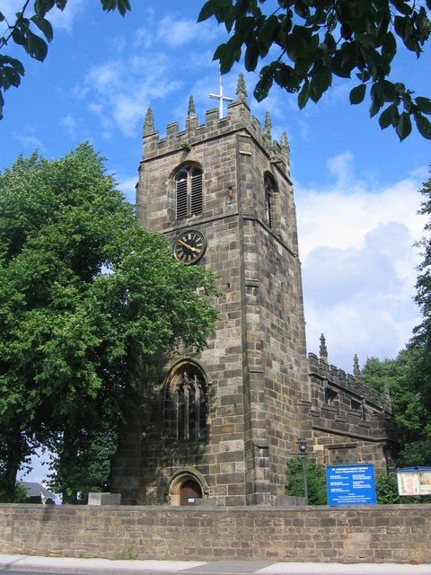
St Leonard's Church, Shirland
St Leonard's Church, Shirland is a Grade II* listed parish church in the Church of England: 317 in Shirland, Derbyshire. == History == The church dates...
Shirland
Shirland is a former pit village in Derbyshire, England. Together with the neighbouring villages of Higham, Stretton and Stonebroom, it forms part of the...

Shirland and Higham
Shirland and Higham is a civil parish within the North East Derbyshire district, which is in the county of Derbyshire, England. Mainly built up with rural...
Higham, Derbyshire
Higham is a small village in Derbyshire, England. It is on the B6013 and A61 roads. Nearby settlements include Shirland, Stretton, Alfreton and Clay Cross...
Nearby Amenities
Located within 500m of 53.122808,-1.405347Have you been to Shirland?
Leave your review of Shirland below (or comments, questions and feedback).