Higham

Settlement in Derbyshire North East Derbyshire

England

Higham

Cattle on the side of South Hill Looking up to the southern end of the South Hill ridge.
Cattle on the side of South Hill Credit: Bill Boaden

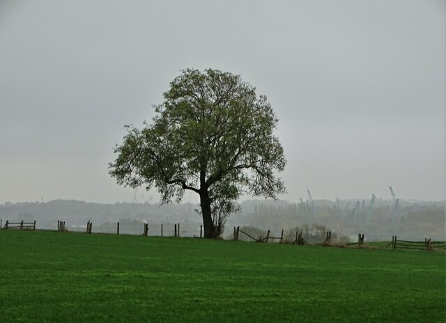
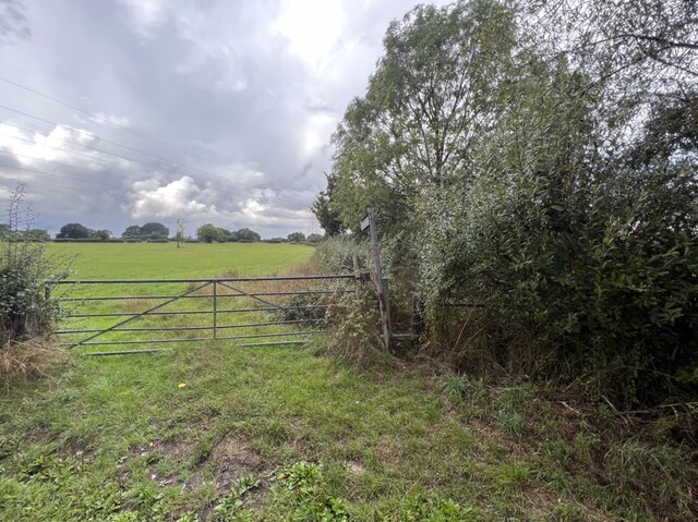
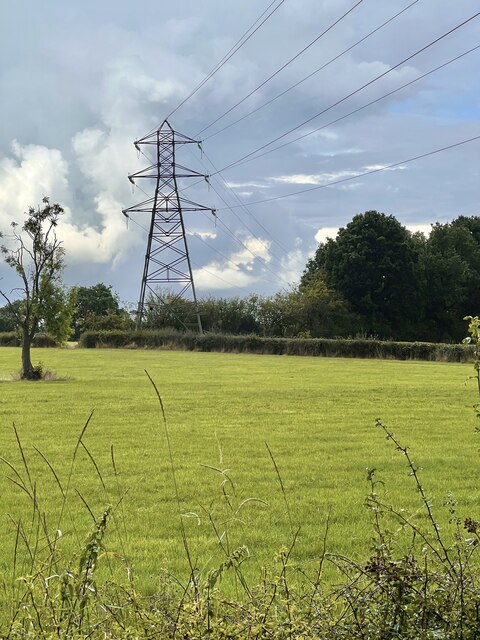
Higham is a small village located in Derbyshire, England. Situated in the Amber Valley district, it lies about 10 miles northeast of Derby. The village is nestled in the picturesque countryside, surrounded by rolling hills and lush green fields, making it an ideal location for those seeking a peaceful and rural setting.

Higham is a tight-knit community with a population of around 600 residents. It has a long and rich history, with evidence of human settlement dating back to the Roman era. The village is characterized by its charming stone cottages and traditional buildings, which add to its quaint and timeless atmosphere.

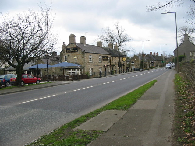
Despite its small size, Higham offers a range of amenities for its residents. These include a primary school, village hall, and a local pub that serves as a focal point for social gatherings. The village also benefits from excellent transport links, with easy access to major roads and nearby train stations, making it convenient for commuting to larger towns and cities.

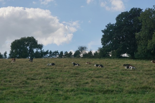
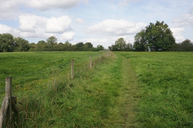
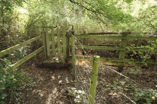
For outdoor enthusiasts, Higham is surrounded by numerous walking and cycling trails, offering stunning views of the surrounding countryside. The nearby Ogston Reservoir provides opportunities for various water sports and birdwatching, making it a popular spot for nature lovers.

Overall, Higham boasts a tranquil and idyllic setting, ideal for those seeking a close-knit community and a peaceful rural lifestyle.

If you have any feedback on the listing, please let us know in the comments section below.
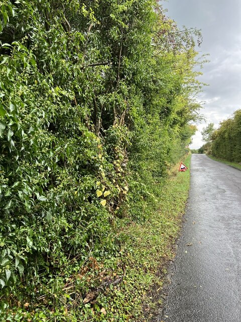
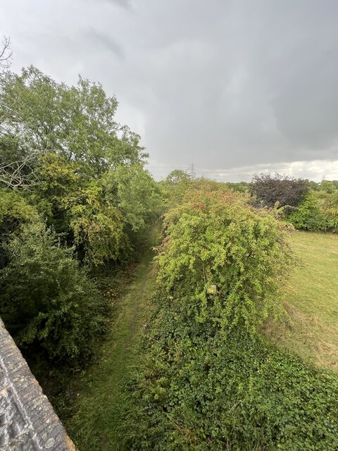
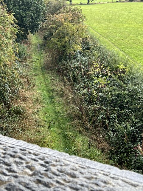
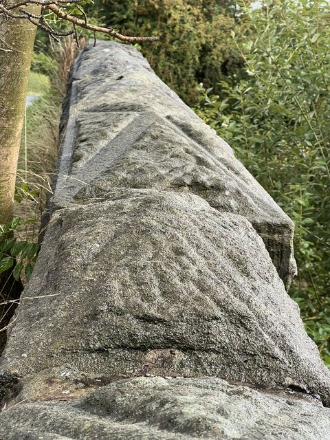
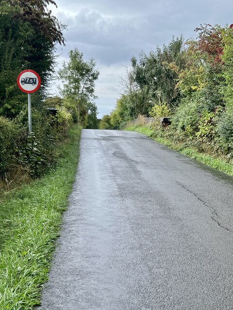
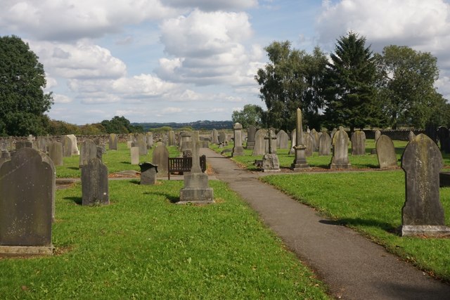
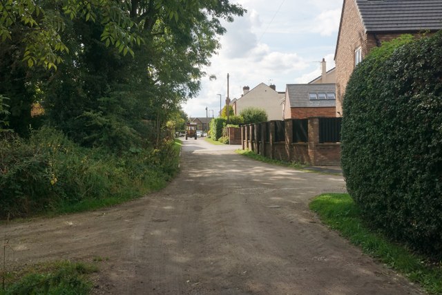
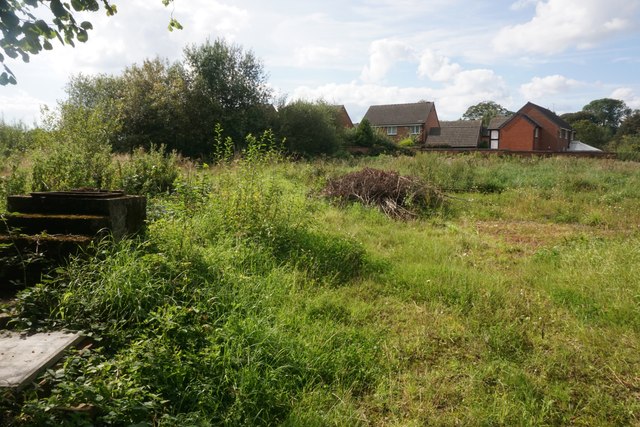
Higham Images

Images are sourced within 2km of 53.125866/-1.4184156 or Grid Reference SK3958. Thanks to Geograph Open Source API. All images are credited.

Cattle on the side of South Hill Looking up to the southern end of the South Hill ridge.
Cattle on the side of South Hill
Looking up to the southern end of the South Hill ridge.
Footpath to Mickley Estate Houses lining the A61 can be seen on the far hill. In between is the valley of Smithy Brook.
Footpath to Mickley Estate
Houses lining the A61 can be seen on the far hill. In between is the valley of Smithy Brook.
Lone tree in the landscape - south of Shirland
Village information board There are several notices, seats and bus stop just here.
Village information board
There are several notices, seats and bus stop just here.
Footpath and gateway Public footpath towards Mickley.
Footpath and gateway
Public footpath towards Mickley.
Power line The main electric power line heading towards Chesterfield.
Power line
The main electric power line heading towards Chesterfield.
Hedgerow Berries Purple Sloe berries in the hedge row.
Hedgerow Berries
Purple Sloe berries in the hedge row.
Overgrown hedge A variety of different bushes in the hedge approaching the old railway bridge.
Overgrown hedge
A variety of different bushes in the hedge approaching the old railway bridge.
Old trackbed Looking north west onto the old trackbed.
Old trackbed
Looking north west onto the old trackbed.
Old Railway track bed Looking south east, the path appears to be well used.
Old Railway track bed
Looking south east, the path appears to be well used.
Capping Stones The stone masonry has an interesting pattern to the carving on it.
Capping Stones
The stone masonry has an interesting pattern to the carving on it.
Weight limit The old bridge isn’t allowed to have heavy vehicles over it as can be seen by the badly cracked road surface approaching the summit.
Weight limit
The old bridge isn’t allowed to have heavy vehicles over it as can be seen by the badly cracked road surface approaching the summit.
Churchyard of St Leonard's, Shirland A large churchyard behind the church and the far end is still active.
Churchyard of St Leonard's, Shirland
A large churchyard behind the church and the far end is still active.
Church Street Originally a track but the part further on has been made up to adopted standards to give access to new housing.
Church Street
Originally a track but the part further on has been made up to adopted standards to give access to new housing.
Waste land on the edge of Shirland New housing on Wellington Park can be seen on the far side.
Waste land on the edge of Shirland
New housing on Wellington Park can be seen on the far side.
Footpath to Stonebroom A path over green fields linking the former mining villages of Shirland and Stonebroom.
Footpath to Stonebroom
A path over green fields linking the former mining villages of Shirland and Stonebroom.
Footpath near Shirland Just over the little footbridge, the path disappears into undergrowth and is not currently passable.
Footpath near Shirland
Just over the little footbridge, the path disappears into undergrowth and is not currently passable.
Rescued signpost at Northedge Farm Off Mickley Lane
Rescued signpost at Northedge Farm
Off Mickley Lane
Show me another place!

Higham is located at Grid Ref: SK3958 (Lat: 53.125866, Lng: -1.4184156)

Administrative County: Derbyshire

District: North East Derbyshire

Police Authority: Derbyshire

What 3 Words

///truffles.regard.siblings. Near Shirland, Derbyshire

Related Wikis

Higham, Derbyshire

Higham is a small village in Derbyshire, England. It is on the B6013 and A61 roads. Nearby settlements include Shirland, Stretton, Alfreton and Clay Cross...

Shirland and Higham

Shirland and Higham is a civil parish within the North East Derbyshire district, which is in the county of Derbyshire, England. Mainly built up with rural...

Shirland

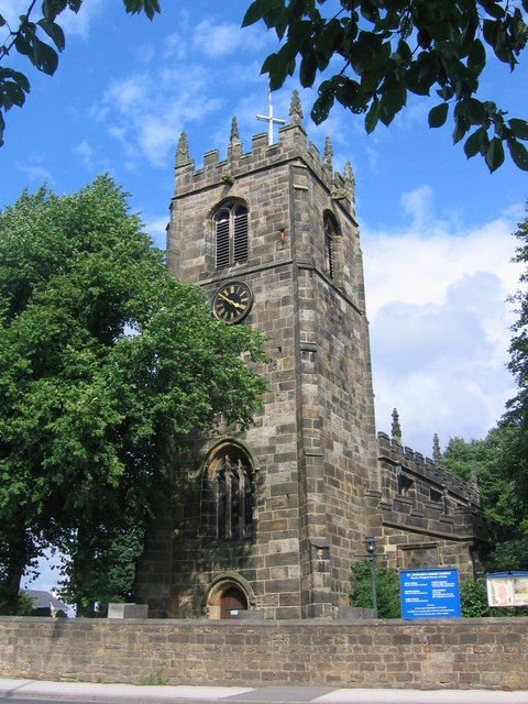
Shirland is a former pit village in Derbyshire, England. Together with the neighbouring villages of Higham, Stretton and Stonebroom, it forms part of the...

St Leonard's Church, Shirland

St Leonard's Church, Shirland is a Grade II* listed parish church in the Church of England: 317  in Shirland, Derbyshire. == History == The church dates...

Nearby Amenities

Located within 500m of 53.125866,-1.4184156
Traffic Calming: island
Lat/Long: 53.1287261/-1.4178853
Higham
Is In: Derbyshire, England, UK
Place: village
Wikidata: Q9292172
Wikipedia: en:Higham, Derbyshire
Lat/Long: 53.1266693/-1.4168468
Post Box
Brand: Royal Mail
Brand Wikidata: Q638098
Brand Wikipedia: en:Royal Mail
Ele: 157.5406494
Operator: Royal Mail
Operator Wikidata: Q638098
Post Box Type: lamp
Ref: DE55 406
Royal Cypher: EIIR
Royal Cypher Wikidata: Q33102113
Lat/Long: 53.12866/-1.4181348
Bus Stop
Bus: yes
Ele: 154
Naptan AtcoCode: 1000DHBR2902
Naptan NaptanCode: dbsgapdj
Public Transport: platform
Lat/Long: 53.1272975/-1.4184603
Description: Cross
Ele: 156
Historic: wayside_cross
Lat/Long: 53.1276352/-1.4182721
Bus Stop
Bus: yes
Ele: 155.8582764
Naptan AtcoCode: 1000DHBR2901
Naptan NaptanCode: dbsgapdg
Public Transport: platform
Lat/Long: 53.1278772/-1.4182979
Barrier: stile
Dog Gate: yes
Steps: 2
Stile: stepover
Lat/Long: 53.1225429/-1.4232598
Barrier: stile
Steps: 1
Stile: stepover
Lat/Long: 53.1250131/-1.425526
Barrier: stile
Steps: 1
Stile: stepover
Lat/Long: 53.1300717/-1.4206363
Bus Stop
The Greyhound
Bench: no
Bin: yes
Bus: yes
Ele: 166.1923828
Public Transport: platform
Shelter: no
Lat/Long: 53.1294239/-1.4181096
Barrier: stile
Ele: 150.8114014
Steps: 1
Stile: stepover
Lat/Long: 53.1256198/-1.4113624
Bus Stop
Strettea Lane
Bus: yes
Public Transport: platform
Lat/Long: 53.1265551/-1.4111167
Bus Stop
Strettea Lane
Bus: yes
Naptan AtcoCode: 1000DSCR2659
Naptan NaptanCode: dbsdmamw
Public Transport: platform
Lat/Long: 53.126749/-1.4121218
Bus Stop
Bench: no
Bin: no
Bus: yes
Ele: 158
Public Transport: platform
Shelter: no
Tactile Paving: no
Lat/Long: 53.1265877/-1.4182644
Ele: 157
Lat/Long: 53.1257675/-1.4185069
Ele: 151
Lat/Long: 53.1299302/-1.419922
Bus Stop
The Greyhound
Bus: yes
Naptan AtcoCode: 1000DHMR2899
Naptan NaptanCode: dbsapgma
Public Transport: platform
Lat/Long: 53.1303421/-1.4177822
Guest House: bed_and_breakfast
Tourism: guest_house
Lat/Long: 53.1294878/-1.417873
Restaurant
The Crown Inn
Note: In a separate room to the south
Smoking: outside
Lat/Long: 53.1261113/-1.4182295
Direction: SSE
Generator Method: photovoltaic
Generator Output Electricity: yes
Generator Solar Modules: 16
Generator Source: solar
Generator Type: solar_photovoltaic_panel
Location: roof
Power: generator
Lat/Long: 53.1259219/-1.4122986
Direction: SSE
Generator Method: photovoltaic
Generator Output Electricity: yes
Generator Source: solar
Generator Type: solar_photovoltaic_panel
Location: roof
Power: generator
Lat/Long: 53.1247839/-1.4178206
Direction: S
Generator Method: photovoltaic
Generator Output Electricity: yes
Generator Solar Modules: 15
Generator Source: solar
Generator Type: solar_photovoltaic_panel
Location: roof
Power: generator
Lat/Long: 53.1284264/-1.4178333
Direction: S
Generator Method: photovoltaic
Generator Output Electricity: yes
Generator Solar Modules: 14
Generator Source: solar
Generator Type: solar_photovoltaic_panel
Location: roof
Power: generator
Lat/Long: 53.1289502/-1.4184241
Direction: S
Generator Method: photovoltaic
Generator Output Electricity: yes
Generator Solar Modules: 14
Generator Source: solar
Generator Type: solar_photovoltaic_panel
Location: roof
Power: generator
Lat/Long: 53.129087/-1.4183309
Give Way
Direction: forward
Lat/Long: 53.1287599/-1.41811
Traffic Calming: island
Lat/Long: 53.128884/-1.4181294
Traffic Calming: island
Lat/Long: 53.1287331/-1.4181435
The data included in this document is from www.openstreetmap.org. The data is made available under ODbL.

Have you been to Higham?

Leave your review of Higham below (or comments, questions and feedback).